The best walks and hikes in Chimborazo
4.9
(11)
48
hikers
3
hikes
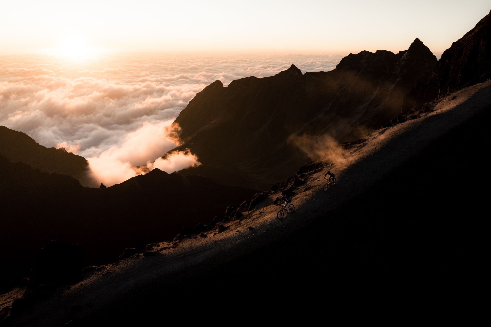
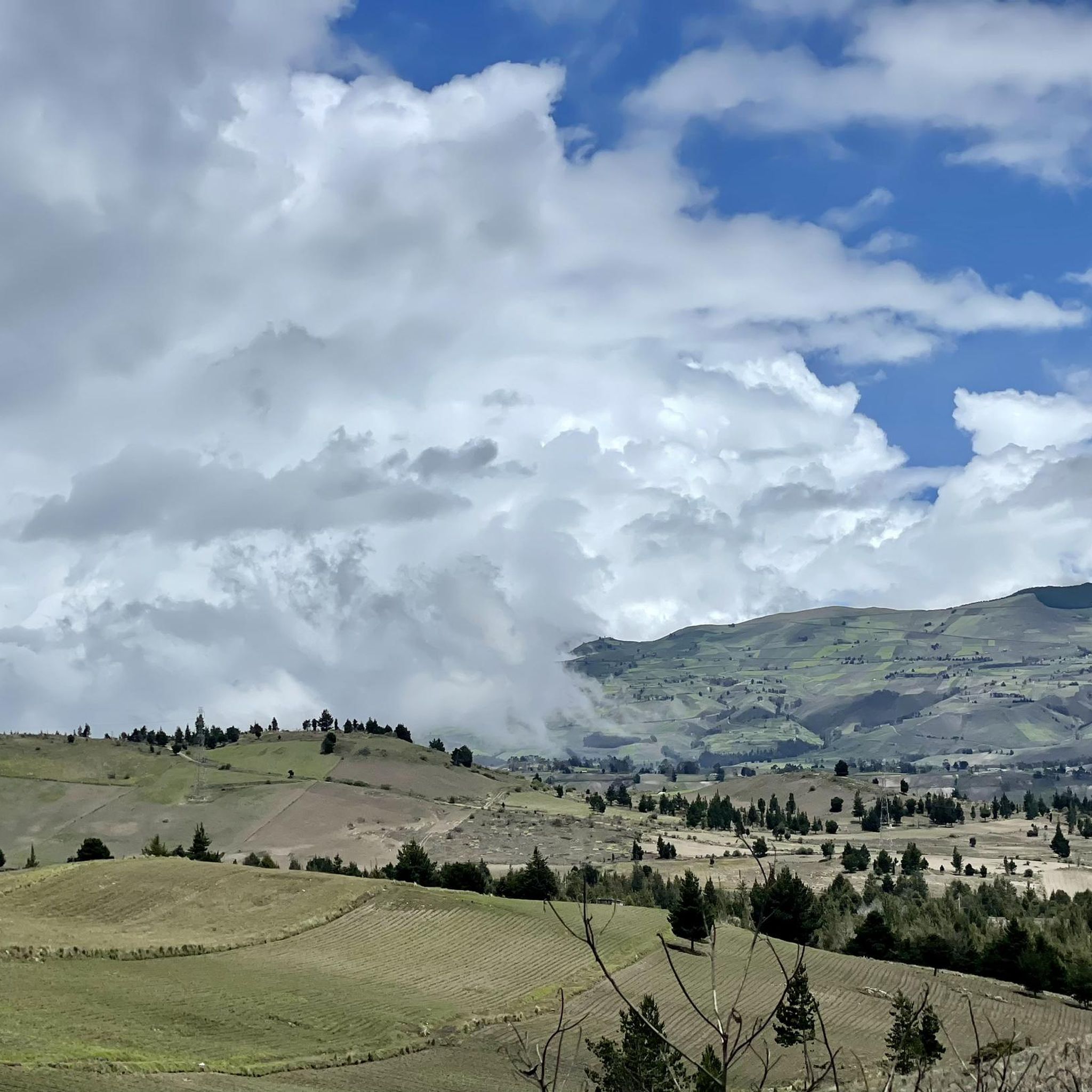
Hiking in Chimborazo, Ecuador, centers around the Chimborazo volcano, the country's highest peak, characterized by its snow-capped summit and extensive glaciers. The region features diverse high-altitude ecosystems, including vast páramo grasslands and unique Polylepis forests. Hikers encounter varied terrain, from volcanic landscapes to areas resembling lunar surfaces, with elevations reaching over 6,000 meters. The Chimborazo National Park protects these features and vital water sources.
Best hiking trails in Chimborazo
- The most popular hiking route is Cóndor Puñuna loop from San…
Last updated: July 11, 2026
4.7
(9)
28
hikers
10.9km
03:13
310m
310m
Moderate hike. Good fitness required. Easily-accessible paths. Suitable for all skill levels.
5.0
(1)
13
hikers
Moderate hike. Good fitness required. Easily-accessible paths. Suitable for all skill levels.

Sign up for free
5.0
(1)
7
hikers
8.20km
02:28
250m
250m
Moderate hike. Good fitness required. Easily-accessible paths. Suitable for all skill levels.
Our route recommendations are based on thousands of hikes, rides, and runs completed by other people on komoot.
Start today with a free account
Your next adventure awaits.
Login or Signup

Other adventures in Chimborazo

Tips from the Community

Wear appropriate and comfortable clothing, remember to also bring hot water
0
0

Refugio Carrel refuge at 4800 meters on volcan Chimborazo, in case of strong winds an excellent alternative to the tent. 30USD per dorm bed with dinner and breakfast
0
0

Exhausting, in adverse conditions. Unfortunately had no view. But proud to have done it.
0
0

I think it's doable for everyone. It is important to find your own pace and take breaks from time to time. The path itself is not difficult. You should still wear appropriate footwear.
0
0

If you take this way down to the highway you are very likely to see herds of wild vicuñas!
0
0

The Gallo Rumi is a volcanic rock formation with prominent spiers that rise steeply, like the spiers of the Sagrada Familia in Barcelona, to rise again ornate there.
0
0
A place worth visiting, little frequented by tourists thanks to its distance from the car park. It goes steeply up into the dark dungeon, the highest point of which is a memorial for a long-dead chief of the local indigenous people. The stillness of the place is broken by the wing movement of the hummingbirds nesting in cracks here.
0
0

There is a road from the visitor center to the Carrell cabin. Of course, you can also run and take in the fantastic landscape at icy heights. You notice the height of 4800 m with every step.
0
0
Frequently Asked Questions
How many hiking trails are available in Chimborazo?
There are over 4 hiking trails in Chimborazo, offering a range of experiences from moderate paths to difficult ascents. The komoot community has rated these routes highly, with an average score of 4.9 stars.
What natural features or landmarks can I see while hiking in Chimborazo?
Chimborazo is renowned for its majestic volcano and extensive glaciers, as well as the unique páramo ecosystem with its distinctive vegetation. You can also explore the highest native forests in the world, the Polylepis forests. Notable landmarks include the Hermanos Carrel Refuge and the Whymper Refuge (5,000 m a.s.l.), offering spectacular views.
Are there any circular hiking routes in Chimborazo?
Yes, several trails in Chimborazo are circular. For example, the Carihuairazo loop from Agua Santa is a challenging 10 km route offering views of the Carihuairazo volcano. Another option is the Cóndor Puñuna loop from San Pedro de Alausí, a moderate 10.9 km path through Andean landscapes.
What kind of wildlife might I encounter on the trails?
The Chimborazo Wildlife Production Reserve is home to diverse fauna. Hikers often spot vicuñas, which are the rarest camelids in the Andes, along with llamas, alpacas, deer, and various bird species, making it an excellent area for wildlife observation.
Is acclimatization necessary before hiking in Chimborazo?
Yes, acclimatization to the high altitude is crucial for a fulfilling and safe experience in Chimborazo. Many trails are at significant elevations, so it's advisable to spend a few days at a moderate altitude before attempting higher treks.
Are there any cultural or historical sites to explore near the trails?
The region holds significant cultural importance. You can visit the Machay Temple Cave, a sacred site on the volcano's southern flank, which is part of the Machay Temple Cave – View of Mount Chimborazo loop from Casa Condor trail. Indigenous communities in the area also preserve their traditions, offering a glimpse into Andean culture.
What do other hikers enjoy most about hiking in Chimborazo?
The area is highly rated by the komoot community, with an average score of 4.9 stars from over 15 reviews. Hikers frequently praise the stunning volcanic peaks, the unique high-altitude páramo, and the dramatic glacial landscapes that define the region's trails.
Are there options for multi-day treks in the Chimborazo region?
Yes, for a more immersive experience, multi-day treks like the Vicuña Trek are available. This four-day expedition through Chimborazo National Park offers diverse ecosystems, wildlife encounters, and extensive exploration of the majestic páramos.
Where can I find refuges or shelters along the trails?
You can find refuges such as the Hermanos Carrel Refuge and the Whymper Refuge (5,000 m a.s.l.), which are popular stops for trekkers. A route like the Hermanos Carrel Refuge – Machay Temple Cave loop from Refugio Carrel connects some of these facilities.
What is the best time to visit Chimborazo for hiking?
While Chimborazo can be visited year-round, the dry season (typically June to September and December to February) generally offers clearer skies and more stable weather conditions, which are ideal for hiking and enjoying the panoramic views.
Are there any beginner-friendly hikes in Chimborazo?
While many trails involve significant elevation, there are options for various fitness levels. Shorter walks around the refuges or designated paths within the páramo can be suitable for beginners, allowing them to experience the unique landscape without extreme difficulty. Always check route details for specific elevation gains and distances.
Most popular attractions in Chimborazo

Get inspired with the komoot mobile app


Explore more
Browse the best Hikes in other regions.
