The best road cycling routes around Burglengenfeld
4.8
(65)
973
riders
51
rides
Road cycling around Burglengenfeld offers diverse landscapes, situated between the Naab and Schwarze Laber rivers. The region features rolling hills and dense forests, forming part of the Bavarian Jura. This provides varied terrain, from serene riverside paths to routes with notable elevation gains, suitable for road cyclists.
Best road cycling routes around Burglengenfeld
- The most popular road cycling route is Watering Can Tree Schmidmühlen – View of the Vils in Vilshofen loop from Dietldorf, a 32.8 miles (52.8 km)…
Last updated: October 8, 2026
5.0
(4)
58
riders
Moderate road ride. Good fitness required. Mostly well-paved surfaces and easy to ride.
4.2
(5)
72
riders
Easy road ride. Great for any fitness level. Mostly well-paved surfaces and easy to ride.

5.0
(4)
60
riders
35.7km
01:25
160m
160m
Easy road ride. Great for any fitness level. Mostly well-paved surfaces and easy to ride.
4.2
(9)
60
riders
22.0km
00:54
100m
100m
Easy road ride. Great for any fitness level. Mostly well-paved surfaces and easy to ride.
4.2
(10)
55
riders
27.1km
01:10
170m
170m
Easy road ride. Great for any fitness level. Mostly well-paved surfaces and easy to ride.
Get access to more routes and recommendations from other explorers.
Already have an account?
Our route recommendations are based on thousands of hikes, rides, and runs completed by other people on komoot.
Start today with a free account
Your next adventure awaits.


Tips from the Community

Wonderful route guidance, I can only recommend it
0
0
Wonderful route planning, I can only recommend it
0
0
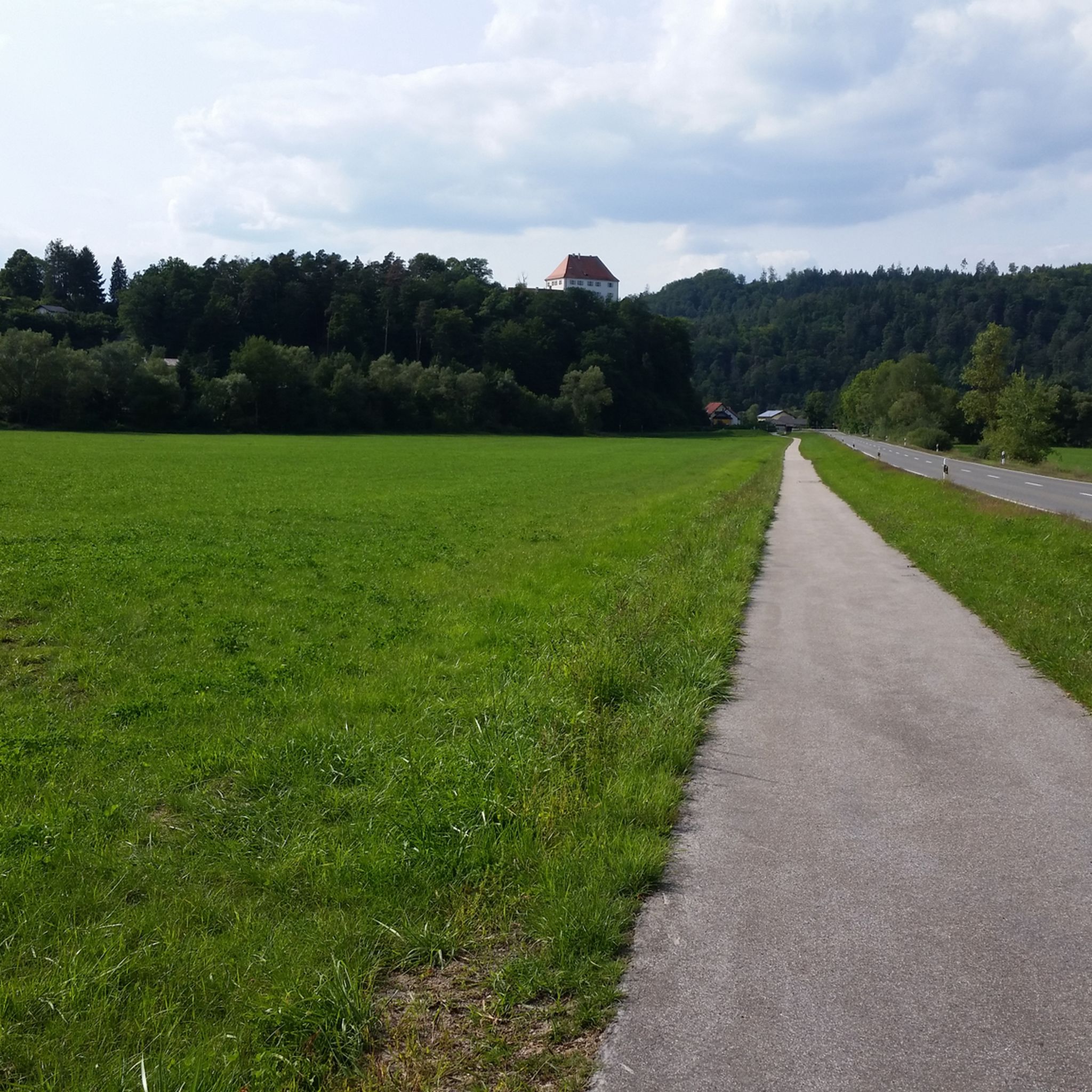
Wonderful sections of trail in a magnificent area
1
0

On this street, the path leads up to the Kallmünz castle ruins. Also reachable by bike.
0
0

a nice idea, hang watering cans on the tree
3
0

Theuern Castle is a castle in Theuern, in the municipality of Kümmersbruck, in the Amberg-Sulzbach district of Bavaria. The preserved buildings are listed as a historic monument under file number D-3-71-136-20. "Archaeological findings from the Middle Ages and the modern era in the area of the Catholic parish church of St. Nicholas and the former Hofmark Castle of Theuern, including traces of predecessor buildings and older construction phases of the church and the noble residence," are also listed as an archaeological monument under file number D-3-6637-0078. "Archaeological findings from the abandoned late medieval and modern iron hammer mill in Theuern" are also listed as an archaeological monument under file number D-3-6637-0118.
0
0

Flat and good
0
0

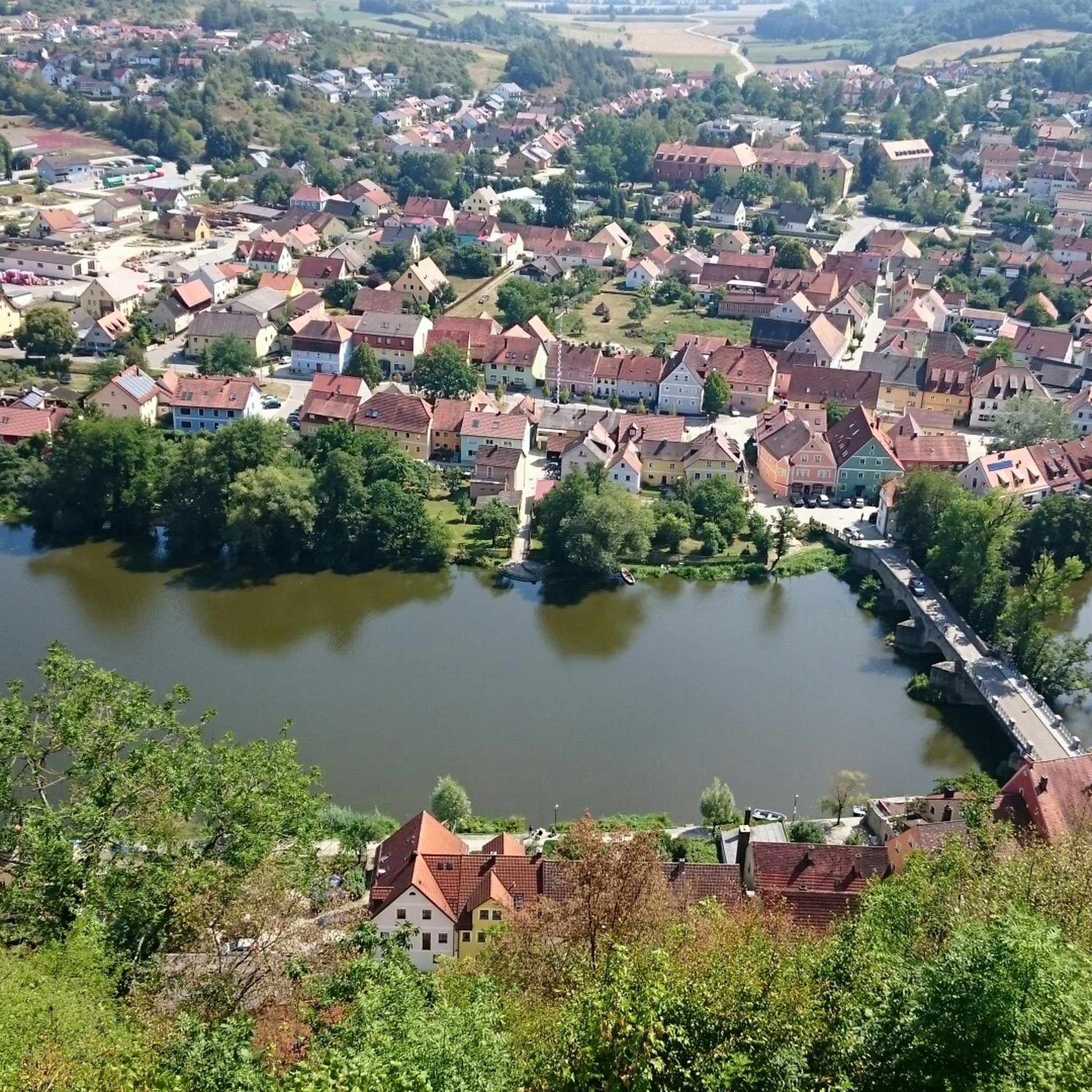
Picturesquely situated small artists' town on the Naab, the smallest cave dwelling in the rock can be seen directly above the main street. Stop at the outer market in the tiny restaurant "Zum Bürstenmacher" - main course "Bauchstecherla" (Schupfnudeln with various ingredients as desired), local beer daily from 11 a.m. to 8:30 p.m.
7
0
Frequently Asked Questions
What kind of terrain can I expect on road cycling routes around Burglengenfeld?
Burglengenfeld offers a diverse road cycling experience, situated between the Naab and Schwarze Laber rivers. You'll find a mix of serene riverside paths, rolling hills, and dense forests, characteristic of the Bavarian Jura. This provides varied terrain, from gentle, flat sections along river valleys to routes with notable elevation gains for those seeking more challenge.
Are there road cycling routes suitable for beginners or families in Burglengenfeld?
Yes, Burglengenfeld has several easy road cycling routes perfect for beginners or families. For instance, the Vils River at Traidendorf – Cycle path between Eich and See loop from Burglengenfeld is an easy 17.9-mile (28.9 km) path that follows the Vils River on a dedicated cycle path, offering a smooth and enjoyable ride. There are 19 easy routes available in the area.
What are some of the more challenging road cycling routes in the region?
While many routes offer moderate challenges, the region's rolling hills provide opportunities for more demanding climbs. The Watering Can Tree Schmidmühlen – View of the Vils in Vilshofen loop from Dietldorf, for example, is a moderate 32.8-mile (52.8 km) route with over 280 meters of elevation gain, offering a good workout. Overall, there are 30 moderate and 2 difficult routes for experienced cyclists.
What kind of scenic views or natural features can I expect along the routes?
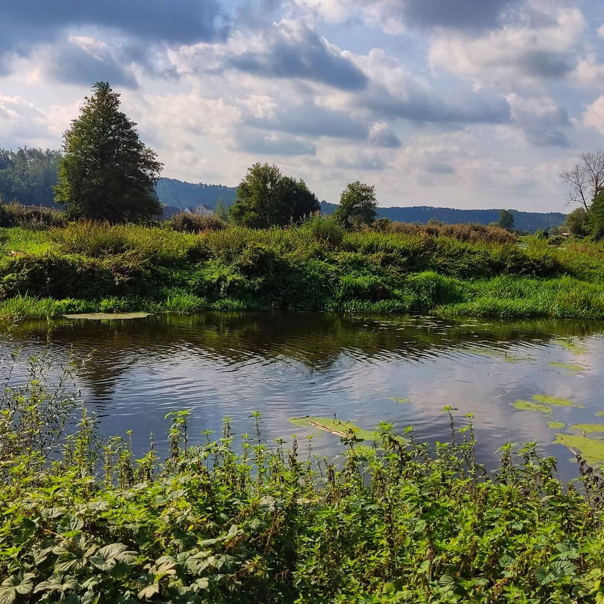
Road cycling routes around Burglengenfeld are rich in natural beauty. You can enjoy views of the Naab River Valley, especially from vantage points like the Lichtenegg castle ruins. The region is also characterized by extensive woodlands and unique rock formations. The Vils Riverside Trail and Rock Formations is a notable highlight, and the nearby "Pfahl" offers fantastic views over the Naab valley.
Are there any interesting landmarks or attractions to see while cycling?
Absolutely! Many routes pass by or near interesting sites. You could cycle towards the idyllic settlement of Kallmünz and explore the Kallmünz marketplace. Other points of interest include the Premberg Landscape Cinema and Summit Cross, offering panoramic views, or the historic Parish Church of Teublitz.
What is the best time of year for road cycling in Burglengenfeld?
The spring, summer, and early autumn months generally offer the best conditions for road cycling in Burglengenfeld. During these seasons, the weather is typically mild, and the landscapes are vibrant, making for pleasant rides through the river valleys, rolling hills, and forests. Always check local weather forecasts before heading out.
Are there many loop routes available for road cyclists?
Yes, the majority of road cycling routes around Burglengenfeld are designed as loops, allowing you to start and end your ride in the same location. Examples include the Inn to the three crowns – Eichenberg Cliffs loop from Burglengenfeld and the Vilsmühle Kallmünz – Kallmünz Stone Bridge loop from Burglengenfeld, providing convenient options for exploration.
How long are the road cycling routes around Burglengenfeld?
The routes vary significantly in length to suit different preferences. You can find shorter circuits, such as the Inn to the three crowns – Eichenberg Cliffs loop from Burglengenfeld at 14 miles (22.5 km), or longer rides like the Watering Can Tree Schmidmühlen – View of the Vils in Vilshofen loop from Dietldorf, which is 32.8 miles (52.8 km). The average route length is around 20-30 miles (30-50 km).
What do other road cyclists say about the routes in Burglengenfeld?
The road cycling routes in Burglengenfeld are highly regarded by the komoot community, with an average rating of 4.8 stars from over 40 reviews. Cyclists often praise the diverse terrain, well-maintained surfaces, and the scenic beauty of the Naab River Valley and surrounding forests. Over 800 road cyclists have used komoot to explore this varied region.
Is there a major long-distance cycling route that passes through or near Burglengenfeld?
Yes, a significant highlight for cyclists in the wider region is the "Five Rivers Cycle Route." While not directly passing through Burglengenfeld, sections of this scenic route, such as the Amberg–Schmidmühlen section along the Vils, are easily accessible and recognized for their beauty and cultural attractions, winding through the heartland of Bavaria.
Are there any water-based attractions near the cycling routes?
For those looking to combine cycling with water activities, the nearby Lake Steinberg offers opportunities for relaxation. You can also find the Wild Wake Park at Lake Steinberger, providing options for waterskiing and wakeboarding, complementing the land-based outdoor options after your ride.
Most popular routes around Burglengenfeld
Most popular attractions around Burglengenfeld

Get inspired with the komoot mobile app


Explore more
Browse the best Road cycling routes in other regions.
