The best walks and hikes around Großkirchheim
4.6
(6229)
34,639
hikers
41
hikes
Hiking around Großkirchheim, nestled within the Hohe Tauern National Park, presents diverse alpine landscapes. The region is characterized by majestic mountains, with some rocky peaks exceeding 3,000 meters, alongside green valleys like Zirnitz, Graden, and Gartl. Extensive forests, glaciers, and notable waterfalls, such as the Gartl Waterfall, define the natural features of this area, situated over 1,000 meters above sea level.
Best hiking trails around Großkirchheim
- The most popular hiking route is Gradental to the Adolf Nossberger Hütte (loop),…
Last updated: July 7, 2026
4.9
(52)
292
hikers
Moderate hike. Good fitness required. Easily-accessible paths. Suitable for all skill levels.
4.9
(52)
293
hikers
11.5km
04:29
830m
830m
Moderate hike. Good fitness required. Easily-accessible paths. Suitable for all skill levels.

Sign up for free
4.9
(23)
90
hikers
6.41km
03:45
690m
690m
Moderate hike. Good fitness required. Mostly accessible paths. Sure-footedness required.
4.5
(19)
80
hikers
10.3km
05:39
1,010m
1,010m
Hike the difficult 6.4-mile Schoberalm and Gartlkopf Loop in Hohe Tauern National Park for panoramic views and alpine challenges.
4.9
(54)
284
hikers
7.28km
03:13
570m
580m
Moderate hike. Good fitness required. Mostly accessible paths. Sure-footedness required.
Get access to more routes and recommendations from other explorers.
Sign up for free
Already have an account?
Our route recommendations are based on thousands of hikes, rides, and runs completed by other people on komoot.
Start today with a free account
Your next adventure awaits.
Login or Signup
Popular around Großkirchheim
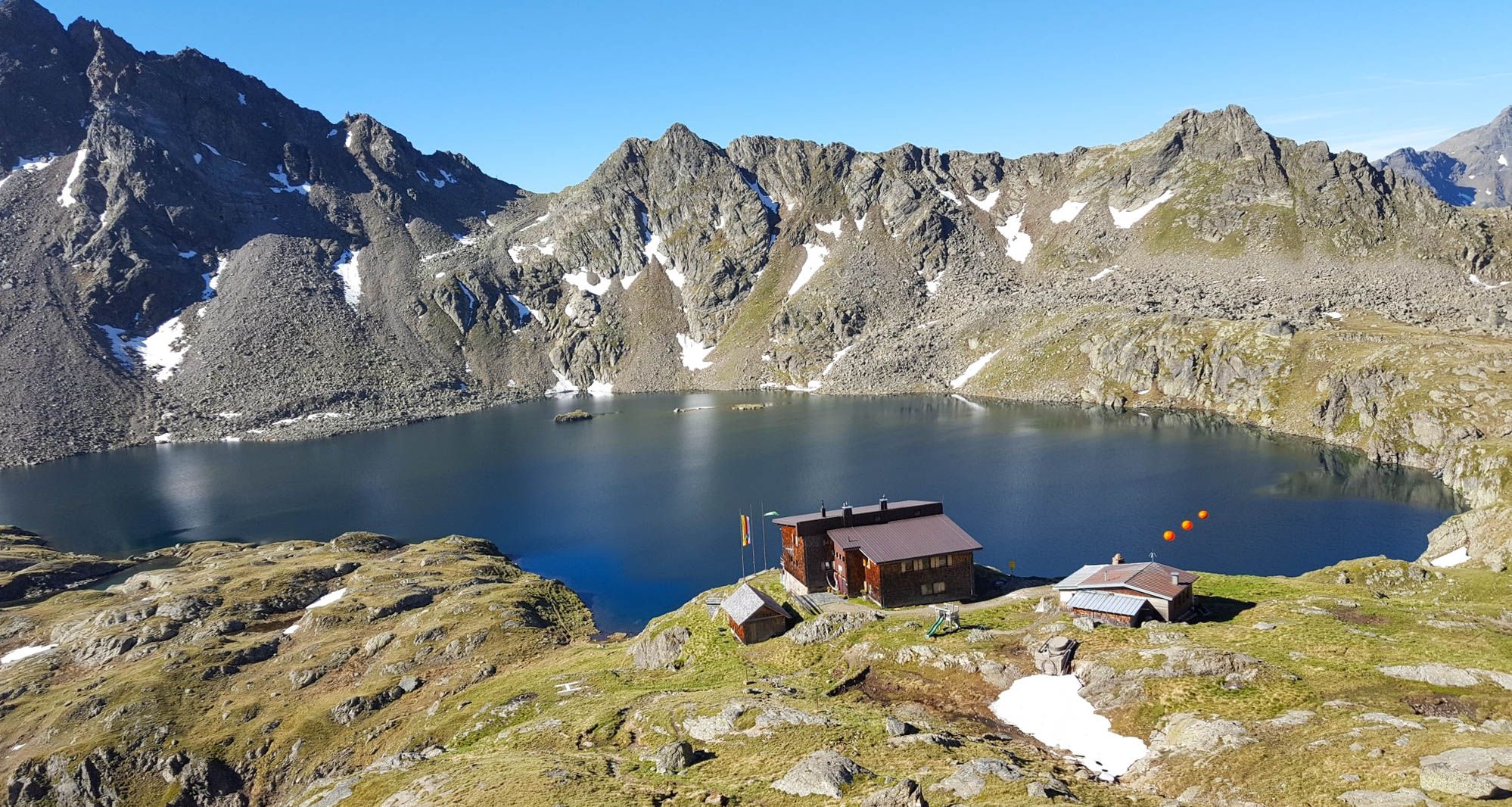
Wiener Höhenweg in Austria – 6 stages in the Schober Group

Alpe-Adria-Trail: My long-distance hike from the glacier to the sea
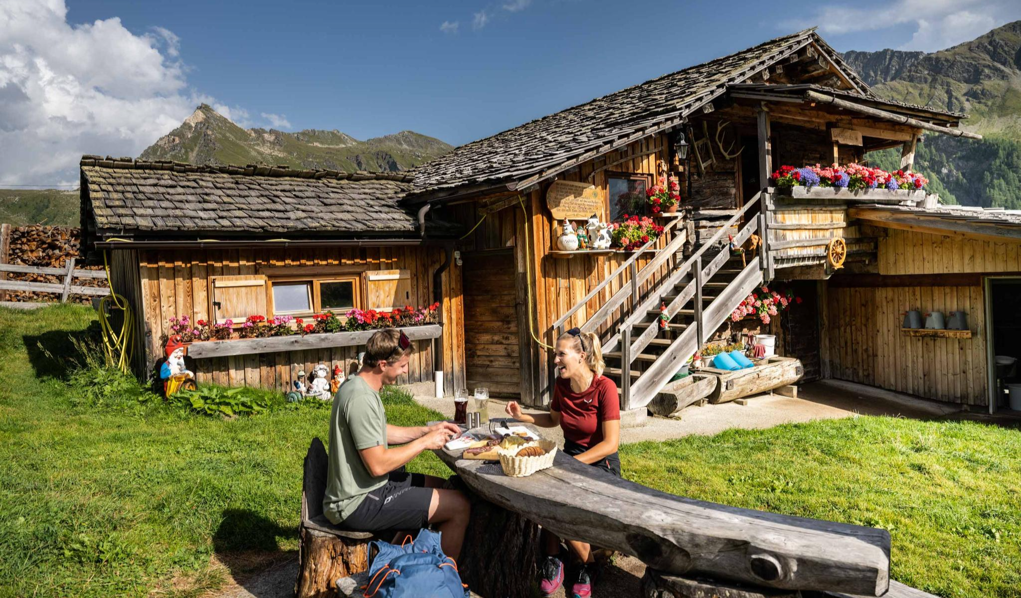
Peak happiness – hut hikes in the High Tauern

An alpine adventure – from east to west through Austria

From the Grossglockner to the sea on the Alpe Adria Trail
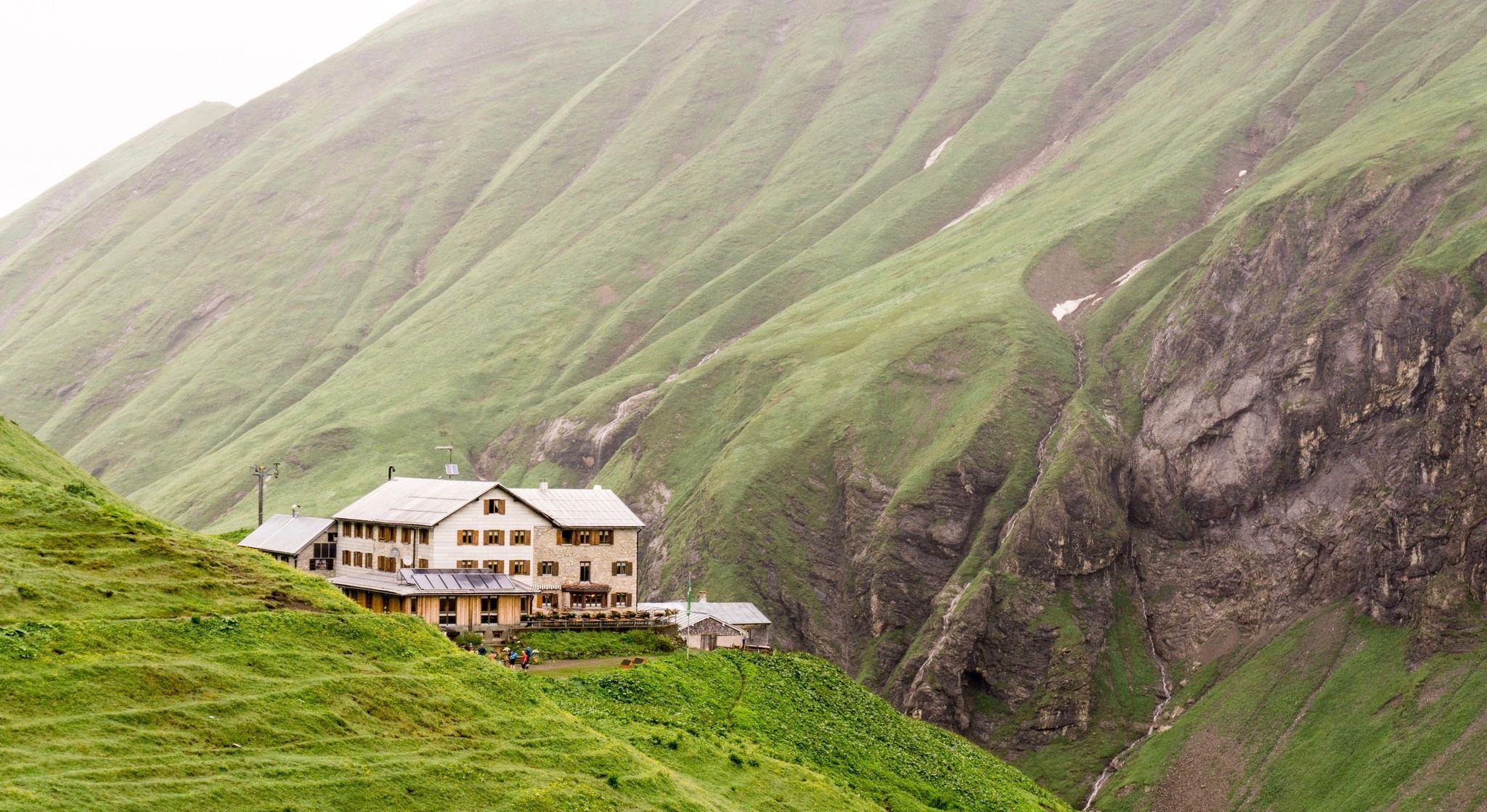
Huts for romantic getaways
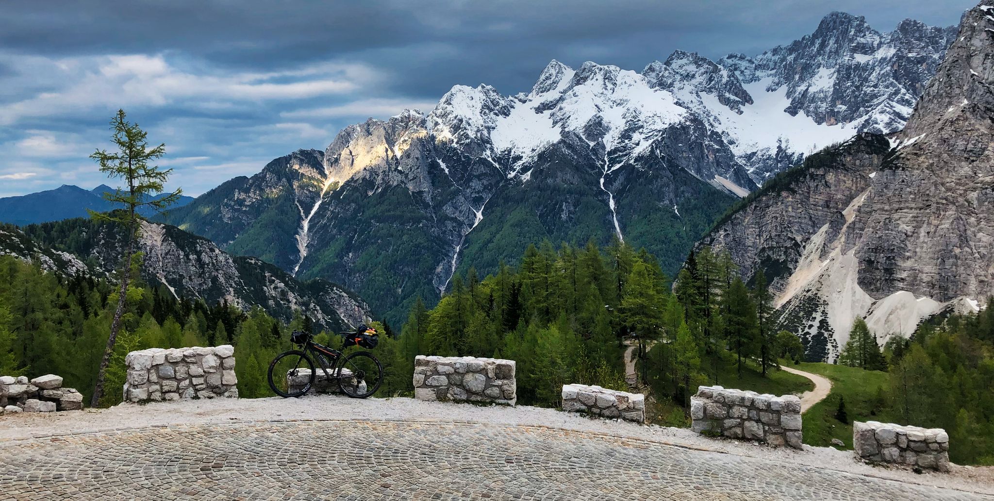
My first bikepacking trip – four countries, joys and mistakes
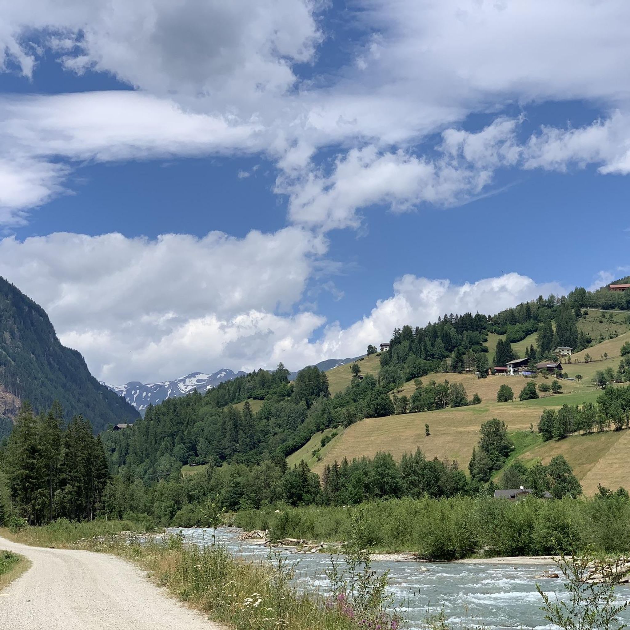
Road Cycling Routes around Großkirchheim
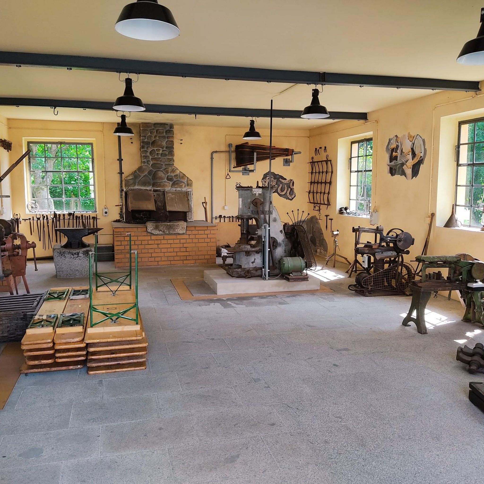
Mountain Hikes around Großkirchheim
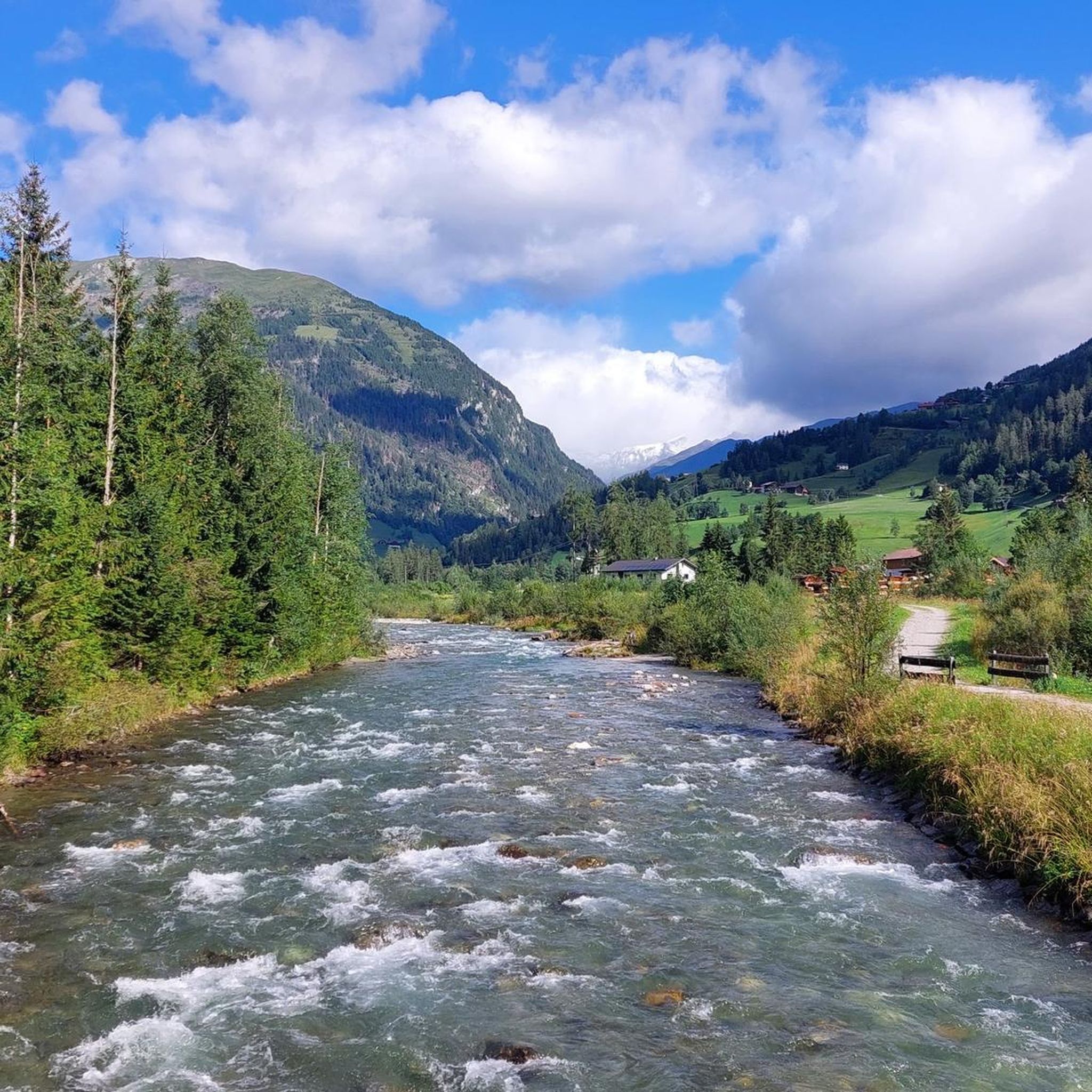
Cycling around Großkirchheim
Other adventures around Großkirchheim


Tips from the Community

a fantastic view from everywhere
0
0

Wonderful view and panorama of the Großglockner
0
0

Unfortunately closed today when we passed by, but it's a great location!
0
0

Impossible hut warden! The hut is truly picturesquely nestled at the end of the Gradental valley, and the tour is definitely worth a day trip. Unfortunately, the hut warden is characterized by incredibly rude behavior. We were hiking with our children to the nearby Keeskopf and wanted to stop at the hut on the way back. So, we sat down near the hut on the way up to eat our snack. Reason enough for the hut warden to chase us away. In his opinion, you have to be out of sight of mountain huts to be allowed to have a snack. We will steer clear of the hut in the future. Impossible guy
0
2

Super delicious food, a great atmosphere, and unusual floral decorations, and of course, a fantastic view. I highly recommend it.
0
0
An absolute dream with a magnificent view and excellent cuisine—small but perfectly formed. We stayed there overnight in August 2024 and are returning again this year with the whole family. An absolute insider tip and a super friendly staff. From here, you can reach not only the Mohar, but also the Astental Valley. A varied, easy hike along streams, moors, and waterfalls.
0
0
take some extra water with you in hot weather
0
0

St. Anthony's Chapel Just a two-minute walk from the Almgasthof Glocknerblick is the St. Anthony's Chapel, built by Johann Granig in 1965. This gem is considered a very special place of power by visitors from near and far. From here, you can enjoy beautiful views of the surrounding mountains, and with a bit of luck (weather permitting), you might even catch a glimpse of the summit of the Grossglockner.
0
0
Frequently Asked Questions
How many hiking trails are available in Großkirchheim?
Großkirchheim offers a wide selection of hiking opportunities, with over 40 trails recorded on komoot. These range from easy walks to challenging alpine ascents, catering to various skill levels.
What is the best time of year to go hiking in Großkirchheim?
The best seasons for hiking in Großkirchheim are spring, when the natural landscapes are in full bloom and temperatures are mild, and summer and autumn. Summer and autumn are particularly ideal for exploring higher peaks and enjoying the panoramic views across the region.
What do other hikers enjoy most about hiking in Großkirchheim?
The hiking trails in Großkirchheim are highly rated by the komoot community, with an average score of 4.5 stars from over 1,200 reviews. Hikers frequently praise the diverse alpine landscapes, the majestic mountains, and the green valleys, as well as the well-developed network of trails that offer options for all abilities.
Are there hiking trails suitable for families with children in Großkirchheim?
Yes, Großkirchheim offers several family-friendly options. An easy circular trail known as the "Wasserfallweg" is perfect for families, leading along impressive waterfalls and providing opportunities for nature observation. The Gartl Waterfall – Döllach Parish Church loop is another easy route, offering views of the Gartl Waterfall and varied local scenery.
What kind of difficulty levels can I expect on Großkirchheim's hiking trails?
Großkirchheim's trails cater to all levels. You'll find 8 easy routes, 27 moderate routes, and 6 difficult routes. The difficult trails often involve challenging ascents and require sure-footedness and alpine experience, while easy routes are generally well-suited for casual walkers and families.
Are there any impressive waterfalls to see on hikes in Großkirchheim?
Absolutely. The region is known for its roaring waterfalls. The Gartl Waterfall is a notable highlight, considered a "place of power and energy." You can explore it on routes like the Gartl Waterfall – Döllach Parish Church loop. Other impressive waterfalls in the area include the Gößnitz Waterfall, Maiden's Leap Waterfall, and Kesselfall Waterfall.
Can I find routes that offer panoramic views of the Alps?
Yes, Großkirchheim is renowned for its panoramic views. The Mohar peak is considered one of the Hohe Tauern National Park's most beautiful viewing points, offering sweeping vistas over the entire main Alpine ridge and the Dolomites. Many challenging alpine routes, particularly in the Glockner Group, also provide breathtaking views from peaks exceeding 3,000 meters.
Are there any historical sites or unique natural landmarks to explore while hiking?
Beyond the stunning natural beauty, some hiking trails lead to historical gold mining facilities, offering a glimpse into the region's heritage. You can also discover unique natural landmarks like the Kegelsee. The area also features several beautiful lakes such as the Margaritzen Reservoir and the Neualpl Lakes.
Are there mountain huts along the trails where I can rest or get refreshments?
Yes, numerous mountain huts serve as essential bases for hikers in Großkirchheim. The Gradental to the Adolf Nossberger Hütte (loop) leads to the Adolf Nossberger Hütte, a rewarding goal amidst rocky peaks. Other huts like Salmhütte, Luckner Hut, Glorer Hut, and the Wangenitzseehütte often provide accommodation, regional specialties, and serve as starting points for summit ascents.
Are there circular hiking routes available in Großkirchheim?
Yes, Großkirchheim offers several circular hiking routes. Popular options include the Gradental to the Adolf Nossberger Hütte (loop) and the Gartl Waterfall – Döllach Parish Church loop from Gemeindeamt Großkirchheim, which is an easy path suitable for many hikers.
Are dogs allowed on the hiking trails in Großkirchheim?
Generally, dogs are welcome on hiking trails in the Hohe Tauern National Park region, but it's crucial to keep them on a leash, especially in protected areas, near grazing livestock, and for the safety of wildlife. Always carry waste bags and ensure your dog has enough water.
Is public transport available to reach trailheads in Großkirchheim?
While specific public transport connections to every trailhead can vary, the Großkirchheim region generally has bus services that connect villages and some popular starting points for hikes. It's advisable to check local bus schedules or inquire with the local tourist information office for the most up-to-date public transport options to your desired trailhead.
Where can I find parking for hiking trails in Großkirchheim?
Many popular trailheads in Großkirchheim and the surrounding Hohe Tauern National Park area offer designated parking facilities, often free or for a small fee. Look for signs indicating 'Wanderparkplatz' (hiker parking). For specific routes, it's recommended to check the route description on komoot or local maps for parking information near the starting point.
Most popular routes around Großkirchheim
Most popular attractions around Großkirchheim

Get inspired with the komoot mobile app


Explore more
Browse the best Hikes in other regions.
