The best road cycling routes around Großeutersdorf
4.8
(46)
897
riders
52
rides
Road cycling around Großeutersdorf offers varied terrain within the scenic Saale-Holzland district of Thuringia. The region is characterized by rolling hills and river valleys, particularly along the Saale River, providing diverse routes for cyclists. Landscapes feature a mix of vineyards, forests, and picturesque villages, creating a visually appealing backdrop for rides. This area benefits from well-maintained cycling networks suitable for different fitness levels.
Best road cycling routes around Großeutersdorf
- The most popular road cycling route is View of the Dornburg…
Last updated: June 26, 2026
3.8
(6)
138
riders
64.9km
02:46
330m
330m
Moderate road ride. Good fitness required. Some segments of this route may be unpaved and difficult to ride.
5.0
(6)
64
riders
65.1km
02:59
640m
640m
Moderate road ride. Good fitness required. Mostly well-paved surfaces and easy to ride.

Sign up for free
5.0
(4)
46
riders
59.7km
02:38
450m
450m
Hard road ride. Good fitness required. You may need to push your bike for some segments of this route.
5.0
(3)
38
riders
57.4km
02:32
400m
400m
Hard road ride. Good fitness required. You may need to push your bike for some segments of this route.
23
riders
47.2km
02:04
490m
490m
Moderate road ride. Good fitness required. Mostly well-paved surfaces and easy to ride.
Get access to more routes and recommendations from other explorers.
Sign up for free
Already have an account?
Our route recommendations are based on thousands of hikes, rides, and runs completed by other people on komoot.
Start today with a free account
Your next adventure awaits.
Login or Signup
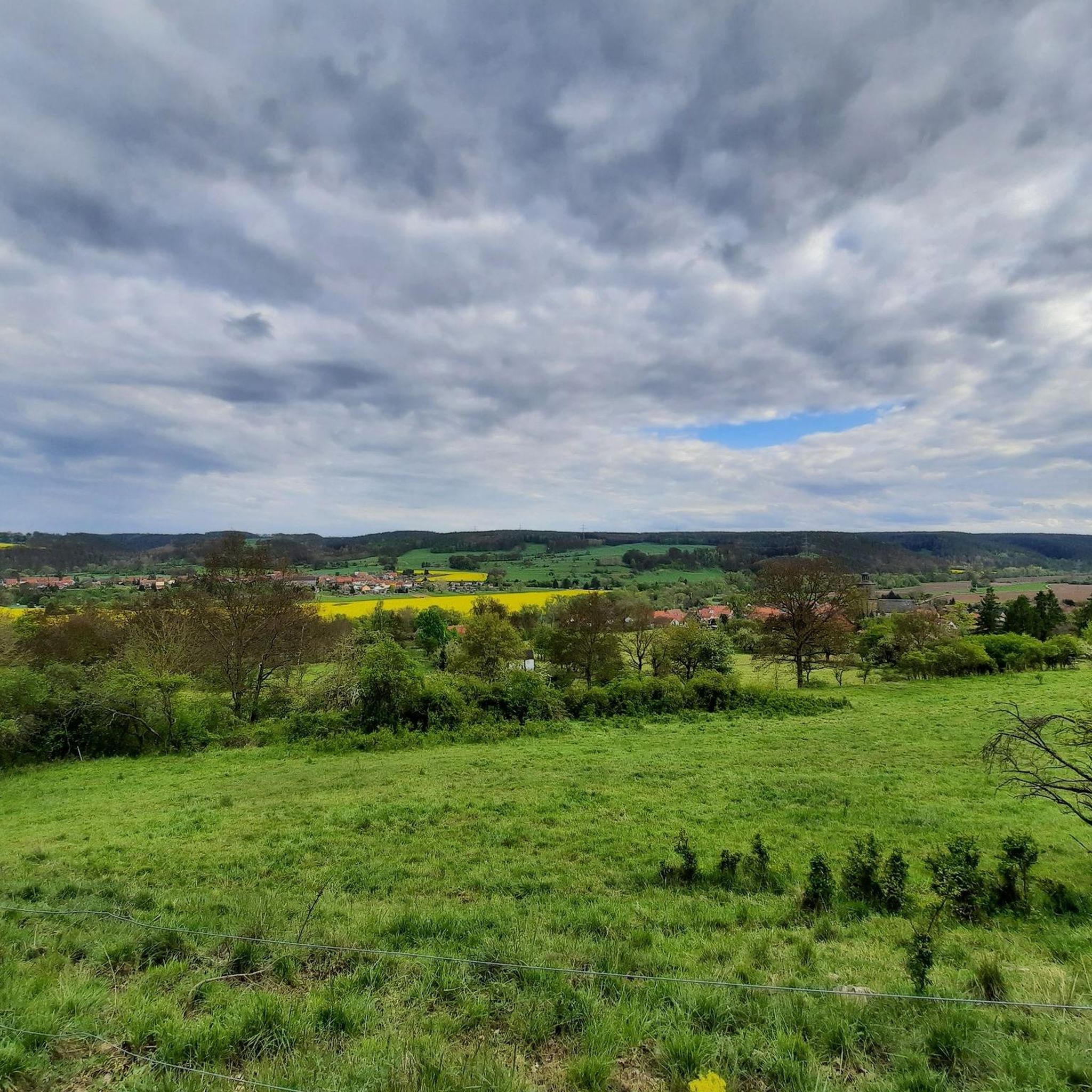
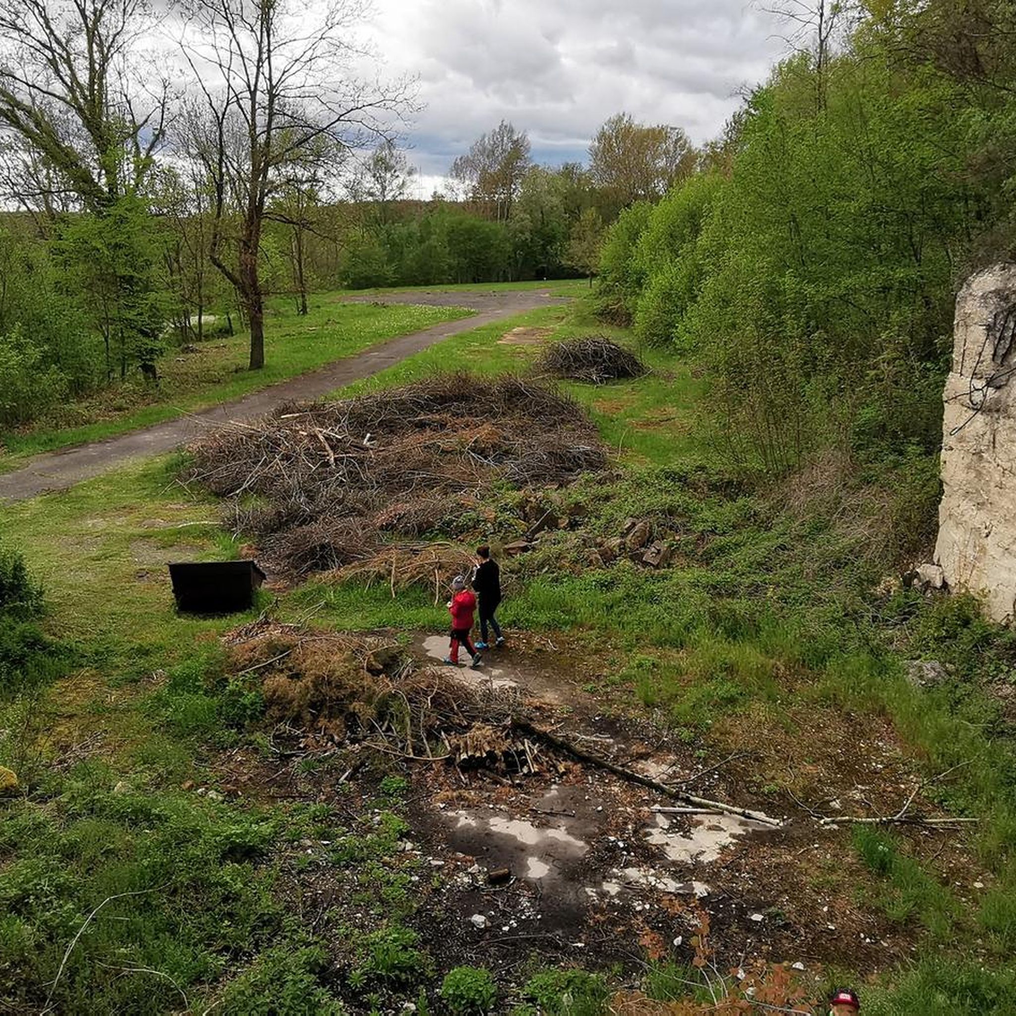
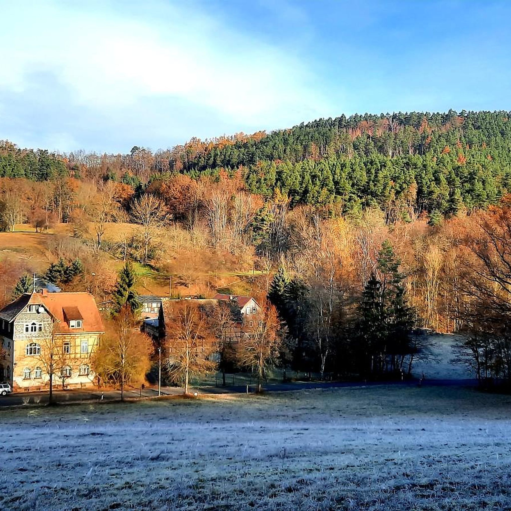
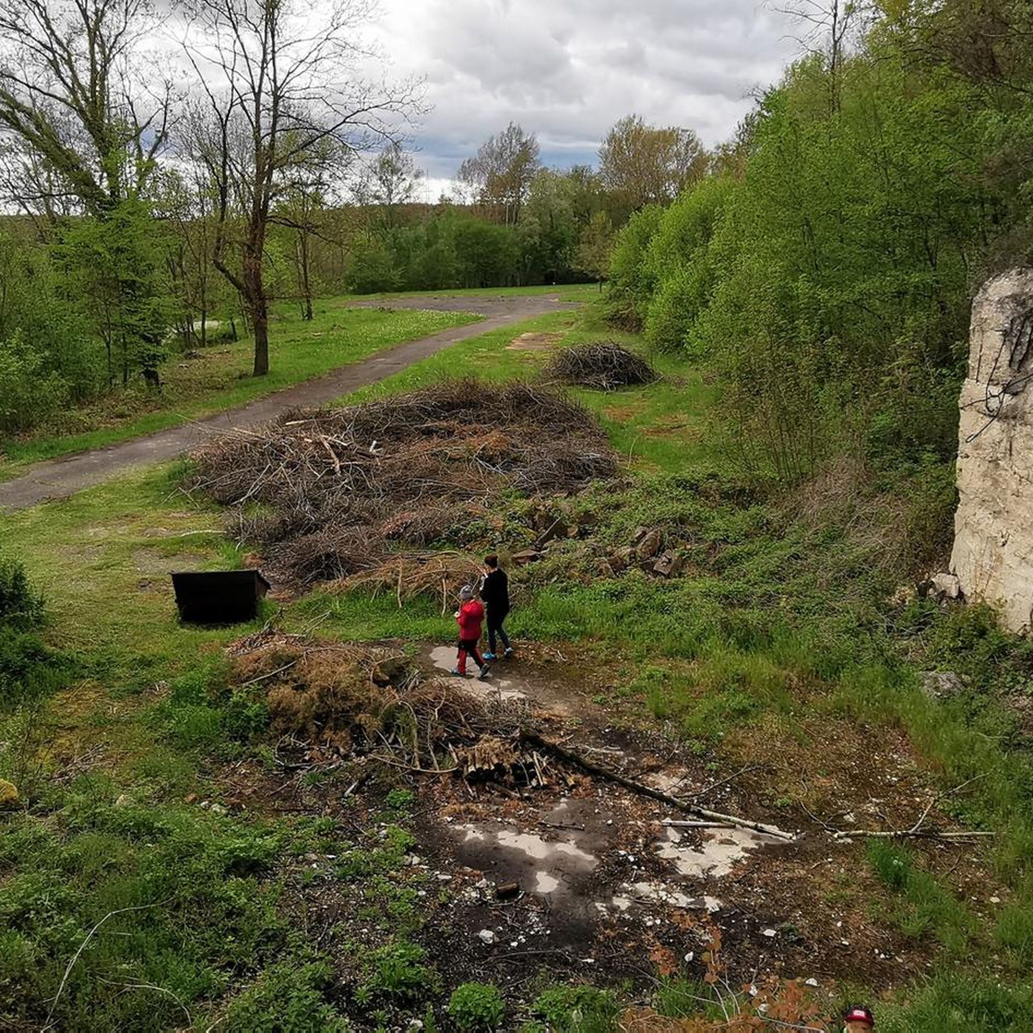
Tips from the Community

A very quiet cycle path with great views. 😁
0
0

The construction is similar to Orlamünde but unfortunately not in such good condition.
1
0


Transfer to the right. Exit is great, but re-entry is a bit more challenging.
0
0

The bridge book is located in the front part of the Carl-Alexander Bridge.
11
0

The Kemenate Reinstädt is a residential tower from the early 15th century. As the imposing remnant of a larger farmyard, whose buildings were demolished in the 19th century, it dominates the village and the landscape.
0
0

Beautiful, spacious park on the Saale. Great for running in winter, probably very busy in summer.
0
0
Frequently Asked Questions
What kind of terrain can I expect when road cycling around Großeutersdorf?
The region around Großeutersdorf, nestled in the Saale-Holzland district of Thuringia, offers varied terrain. You'll encounter rolling hills and picturesque river valleys, particularly along the Saale River. The landscape features a mix of vineyards, forests, and charming villages, providing a visually appealing backdrop for your rides. Routes range from gentler rides along riverbanks to more challenging ascents through hilly areas.
Are there road cycling routes suitable for beginners or families?
Yes, the area caters to various fitness levels. While many routes involve rolling hills, there are options for easier rides on mostly paved surfaces, suitable for beginners or families. For example, routes along the Saale River tend to be less strenuous. You can find 6 easy routes among the 53 available tours.
What kind of elevation gain should I expect on road cycling routes near Großeutersdorf?
The elevation gain varies significantly depending on the route. While some routes along river valleys offer gentler profiles, many routes in the region feature rolling hills. For instance, the Oppurg Castle – Orlatal Valley loop from Kahla (Thür) includes over 630 meters of elevation gain, making it a moderate challenge. Other routes like the View of the Dornburg Castles – Kunitz House Bridge loop from Kahla (Thür) have around 340 meters of ascent.
What natural sights or landmarks can I see along the road cycling routes?
The routes often pass by scenic viewpoints and natural attractions. You might encounter highlights such as the Orchid Meadow in Leutratal, the Leutra Valley Nature Reserve, or the Rothenstein Rock Caves. Additionally, you can enjoy views from peaks like Dohlenstein or the Hilltop near Dürrengleina.
Are there many loop routes available for road cycling in the Großeutersdorf area?
Yes, many of the road cycling routes in the Großeutersdorf area are designed as loops, allowing you to start and finish at the same point. Examples include the popular Where the Orla flows into the Saale – Weißenburg Castle loop from Kahla (Thür) and the Luisenturm on the Hummelsberg – Wittersroda Valley Road loop from Bibra.
When is the best time of year to go road cycling around Großeutersdorf?
The changing seasons enhance the cycling experience in Thuringia. Spring and summer offer lush greenery and mild climates, ideal for comfortable rides. Autumn transforms the landscape with warm colors, providing a beautiful backdrop. While specific conditions vary, late spring through early autumn generally offers the most pleasant weather for road cycling.
What do other road cyclists enjoy most about the routes in Großeutersdorf?
The road cycling routes around Großeutersdorf are highly rated by the komoot community, with an average score of 4.8 stars from over 40 reviews. Cyclists often praise the varied terrain, the scenic views of river valleys and castles, and the well-maintained cycling networks that cater to different ability levels.
Are there any cafes or pubs along the road cycling routes for refreshment stops?
While specific cafes and pubs directly on every route are not detailed, the region's picturesque villages often offer opportunities for refreshment. Planning your route with komoot allows you to identify towns and villages where you can find local establishments to stop for a break or a meal.
How can I access the road cycling routes, and is parking available?
Many routes start from towns like Kahla (Thür) or Bibra, which are accessible by car. Parking availability varies by starting point, but larger towns typically offer designated parking areas. For specific route access and parking information, it's best to check the details for individual tours on komoot.
Can I reach the starting points of road cycling routes by public transport?
Thuringia has a well-developed public transport network, and many towns serving as starting points for cycling routes, such as Kahla, are connected by regional trains or buses. It's advisable to check local public transport schedules and bicycle carriage policies for specific routes and times.
Are there any challenging road cycling routes for experienced riders?
Yes, for experienced riders seeking a challenge, the region offers routes with significant elevation gains and longer distances. For example, the Where the Orla flows into the Saale – Weißenburg Castle loop from Kahla (Thür) is rated as difficult, covering nearly 60 km with over 420 meters of ascent. Overall, 8 of the 53 routes are classified as difficult.
What are some of the longer road cycling routes available?
For those looking for longer rides, routes like the View of the Dornburg Castles – Kunitz House Bridge loop from Kahla (Thür) cover approximately 66 km, while the Oppurg Castle – Orlatal Valley loop from Kahla (Thür) is around 65 km. These routes provide extended cycling experiences through varied landscapes.
Most popular routes around Großeutersdorf
Most popular attractions around Großeutersdorf

Get inspired with the komoot mobile app


Explore more
Browse the best Road cycling routes in other regions.
