The best running trails around Großeutersdorf
4.6
(136)
1,166
runners
131
runs
Jogging routes around Großeutersdorf are characterized by the municipality's location on the left bank of the Saale river, offering a scenic environment for outdoor activities. The area features accessible paths and diverse terrain, ranging from flat riverside routes to trails with varied elevation. This region, part of Thuringia's natural landscape, provides a mix of easy and more challenging running options.
Best jogging routes around Großeutersdorf
- The most popular jogging route is Kahla Old Town – Leuchtenburg Castle loop from Kahla…
Last updated: October 27, 2026
3.7
(14)
35
runners
6.29km
00:39
40m
40m
Moderate run. Good fitness required. Mostly paved surfaces.
5.0
(5)
21
runners
14.0km
01:31
80m
80m
Moderate run. Good fitness required. Mostly paved surfaces.

5.0
(3)
17
runners
Moderate run. Good fitness required. Mostly paved surfaces.
3.0
(1)
10
runners
6.28km
00:40
60m
60m
Moderate run. Good fitness required. Mostly paved surfaces.
9
runners
8.79km
00:55
80m
80m
Moderate run. Good fitness required. Mostly paved surfaces.
Get access to more routes and recommendations from other explorers.
Already have an account?
Our route recommendations are based on thousands of hikes, rides, and runs completed by other people on komoot.
Start today with a free account
Your next adventure awaits.
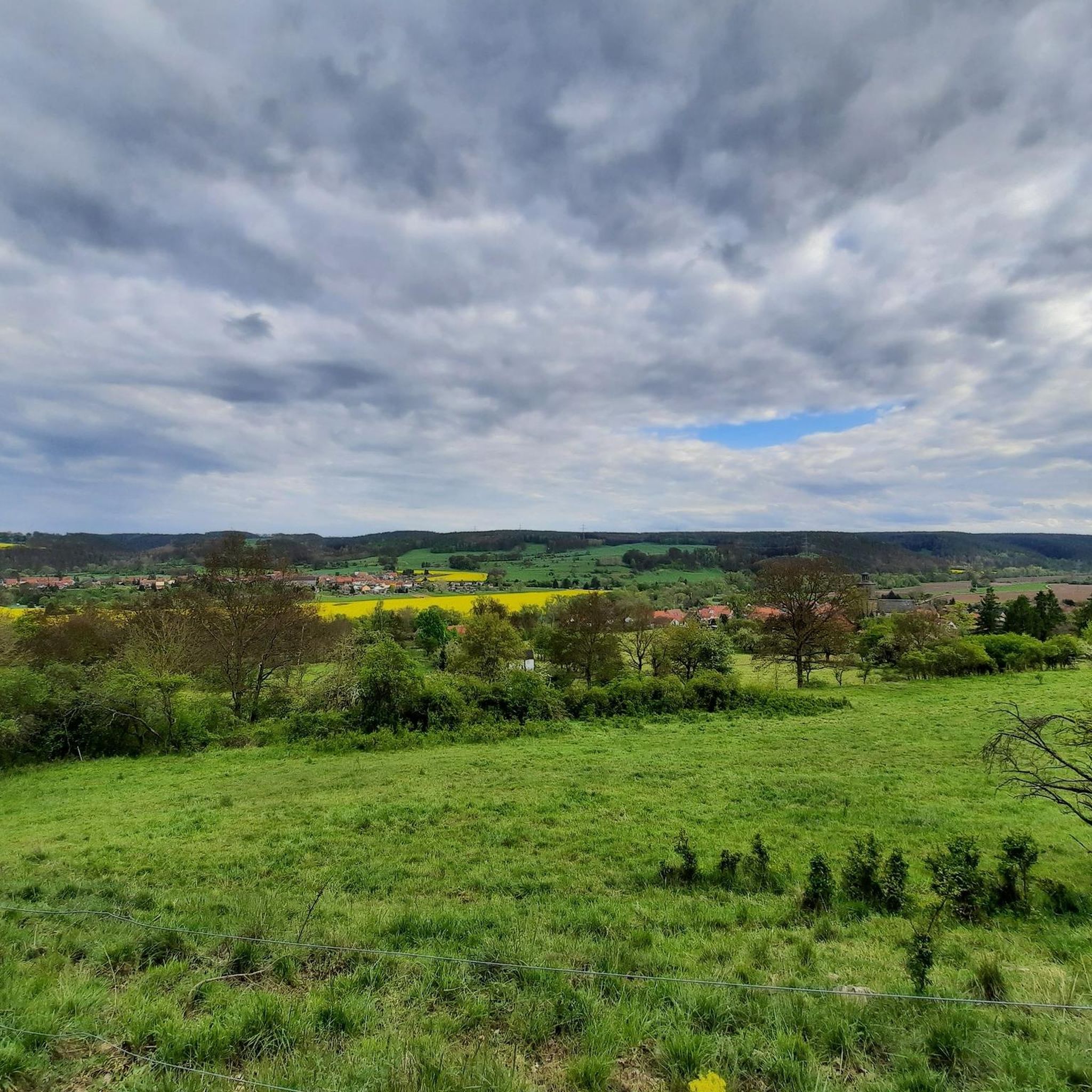
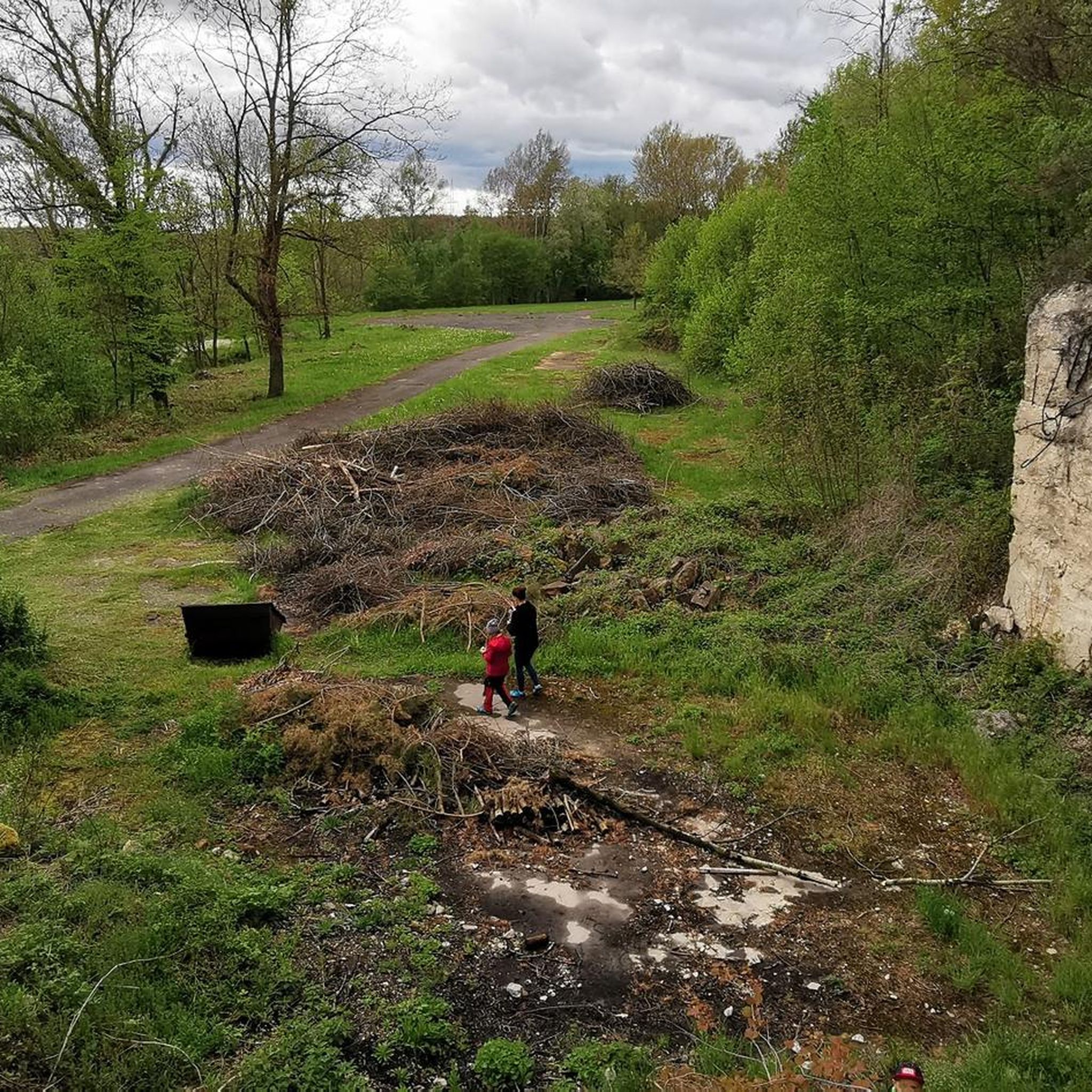
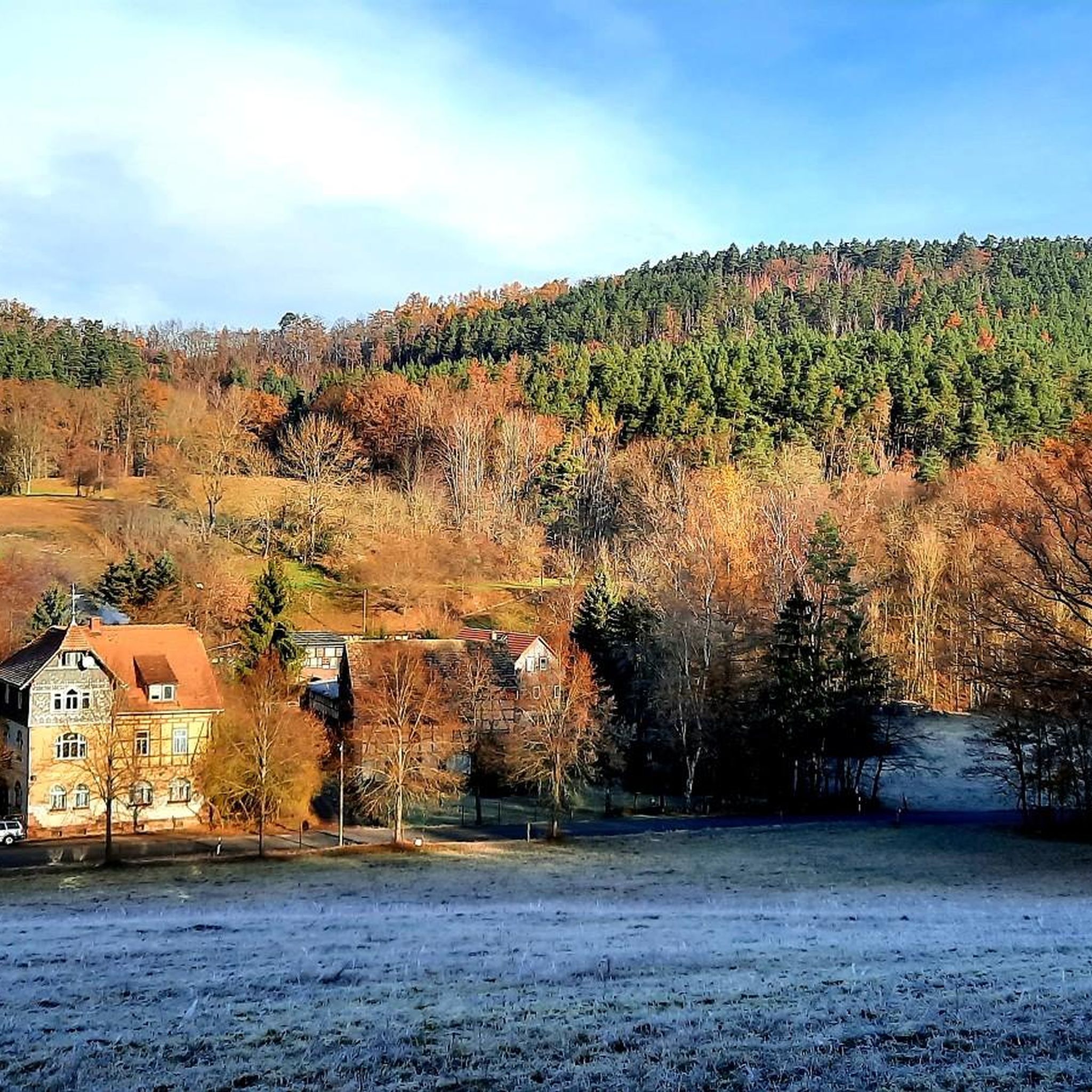
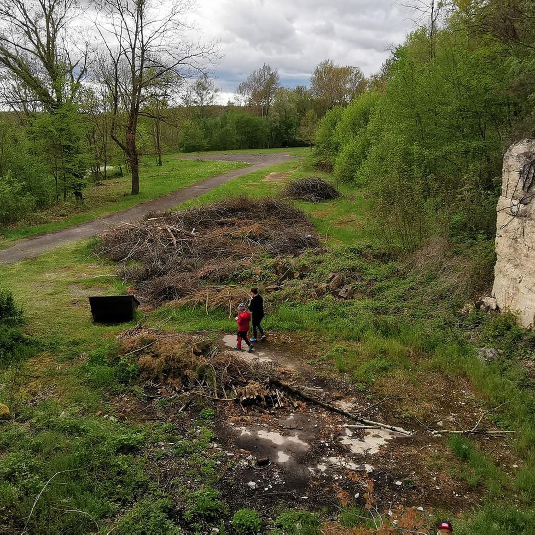
Tips from the Community

Well developed, beautiful views, what more do you need?
1
0

This is where the Kleinpürschützer Bach flows into the Saale. It's a great place to relax, fish, or go for a swim. A small sandbar makes it easy to enter. Great views of the Saale.
0
0

Right next to the cycle path is the confluence of the Orla and Saale. There is a small hut with a table and two benches with space for about 6-8 cyclists (or hikers).
0
0

Unfortunately the view was not so good today
0
0

The Orla is about 35 km long and flows into the Saale here at this well-maintained place.
14
1


Quietly located and with a view of the Saale.
0
0
Frequently Asked Questions
How many running routes are available in Großeutersdorf?
Großeutersdorf offers a wide selection of running opportunities, with over 120 routes available for you to explore. These range from easy jogs to more challenging runs.
What kind of terrain can I expect on the running trails around Großeutersdorf?
The terrain around Großeutersdorf is quite diverse. You'll find many paths along the Saale river that are relatively flat or gently undulating, perfect for relaxed runs. Other trails venture into the surrounding Thuringian landscape, offering more varied elevation and accessible paths suitable for different fitness levels.
Are there any easy running routes suitable for beginners in Großeutersdorf?
Yes, Großeutersdorf has several easy running routes. For example, the Running loop from Freienorla is a moderate 3.9-mile (6.3 km) path with minimal elevation, making it a good option for those starting out or looking for a less strenuous run.
What are some scenic viewpoints or landmarks I can see while jogging?
Many running routes offer beautiful sights. You can pass by historical sites like Leuchtenburg Castle, or enjoy natural features such as the Dohlenstein. The confluence of the Orla and Saale rivers is also a picturesque spot, as seen on the Orla-Saale Confluence – Where the Orla flows into the Saale loop from Kahla route.
Are there running paths along the Saale River?
Absolutely! The Saale river is a central feature of the region's running landscape. Routes like the Saale River – Saaleradweg loop from Kahla follow the river, providing a scenic and often flatter running experience along its banks.
What do other runners say about the trails in Großeutersdorf?
The running routes in Großeutersdorf are highly regarded by the komoot community, boasting an average rating of 4.6 stars from over 80 reviews. More than 1000 runners have explored the area, often praising the accessible paths and the beautiful natural setting.
Are the running routes in Großeutersdorf suitable for families?
Yes, many of the trails are suitable for families. The region offers easily accessible paths and routes with minimal elevation, especially those along the river, which are great for a family outing. Look for routes marked as 'easy' or 'moderate' for the most family-friendly options.
Can I bring my dog on the running trails?
Generally, dogs are welcome on most outdoor trails in the Großeutersdorf area. However, it's always best to keep your dog on a leash, especially in nature protection areas or when encountering other trail users and wildlife, to ensure a pleasant experience for everyone.
What are the parking options for accessing the running trails?
While specific parking facilities for each trail are not detailed, Großeutersdorf and nearby towns like Kahla typically offer public parking areas. It's advisable to check local signage upon arrival or use navigation apps to find suitable parking close to your chosen starting point.
How can I reach the running trails using public transport?
Großeutersdorf is connected to the regional public transport network. You can often reach starting points of trails via local bus services. For more detailed information on routes and schedules, it's recommended to consult local transport providers or regional travel planners.
Are there any challenging running routes for experienced runners?
Yes, for those seeking a greater challenge, Großeutersdorf offers routes with significant elevation gain. The Kahla Old Town – Leuchtenburg Castle loop from Kahla, for instance, is a difficult 9.0-mile (14.5 km) trail with over 350 meters of elevation, providing a demanding workout and rewarding views.
Are there places to eat or stay near the running routes in Großeutersdorf?
Großeutersdorf and its immediate vicinity offer various options for refreshments and accommodation. You can find local guesthouses, restaurants, and cafes where you can relax and refuel after your run. For specific recommendations, local tourist information or online search platforms can provide current listings.
Most popular routes around Großeutersdorf
Most popular attractions around Großeutersdorf

Get inspired with the komoot mobile app


Explore more
Browse the best Running Trails & Routes in other regions.
