The 7 Most Amazing Peaks around Niederneisen
Best mountain peaks around Niederneisen are characterized by rolling hills and forests, situated in the Rhein-Lahn district of Rhineland-Palatinate, Germany. The region features a hilly landscape with elevations ranging from approximately 134 meters to 247 meters above sea level. Niederneisen lies at the foot of the Taunus Mountains, providing access to elevated areas and scenic views within the broader region. The area offers diverse natural landscapes, including charming trails, river valleys, and forests.
Best mountain peaks around Niederneisen
- The most…
Last updated: May 20, 2026
View from the Mensfelder Kopf
Highlight • Viewpoint
Offers a fantastic view of Limburg and towards Feldberg
Translated by Google •
Tip by

Höchst Summit
Highlight • Summit
Translated by Google •
Tip by

Sign up now to discover places like this
Get recommendations on the best single tracks, peaks, & plenty of other exciting outdoor places.
Sign up for free
View of the Lahn River bend from Gabelstein
Highlight • Viewpoint
Translated by Google •
Tip by

Ergenstein Summit
Highlight • Summit
Translated by Google •
Tip by

ErgWurz Trail
Highlight (Segment) • Trail
Translated by Google •
Tip by

Sign up for free to discover even more peaks around Niederneisen.
Sign up for free
Already have an account?
Start today with a free account
Your next adventure awaits.
Login or Signup
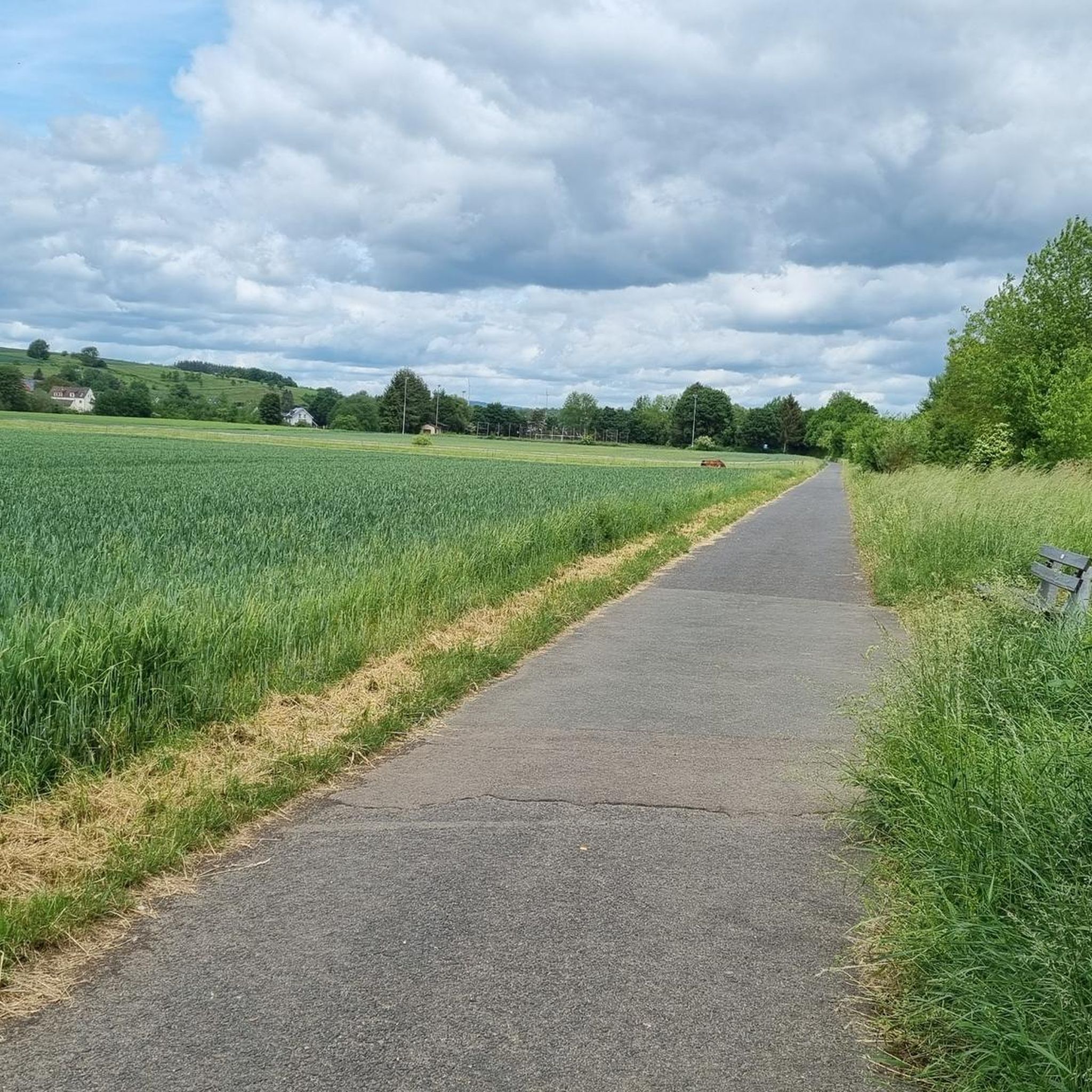
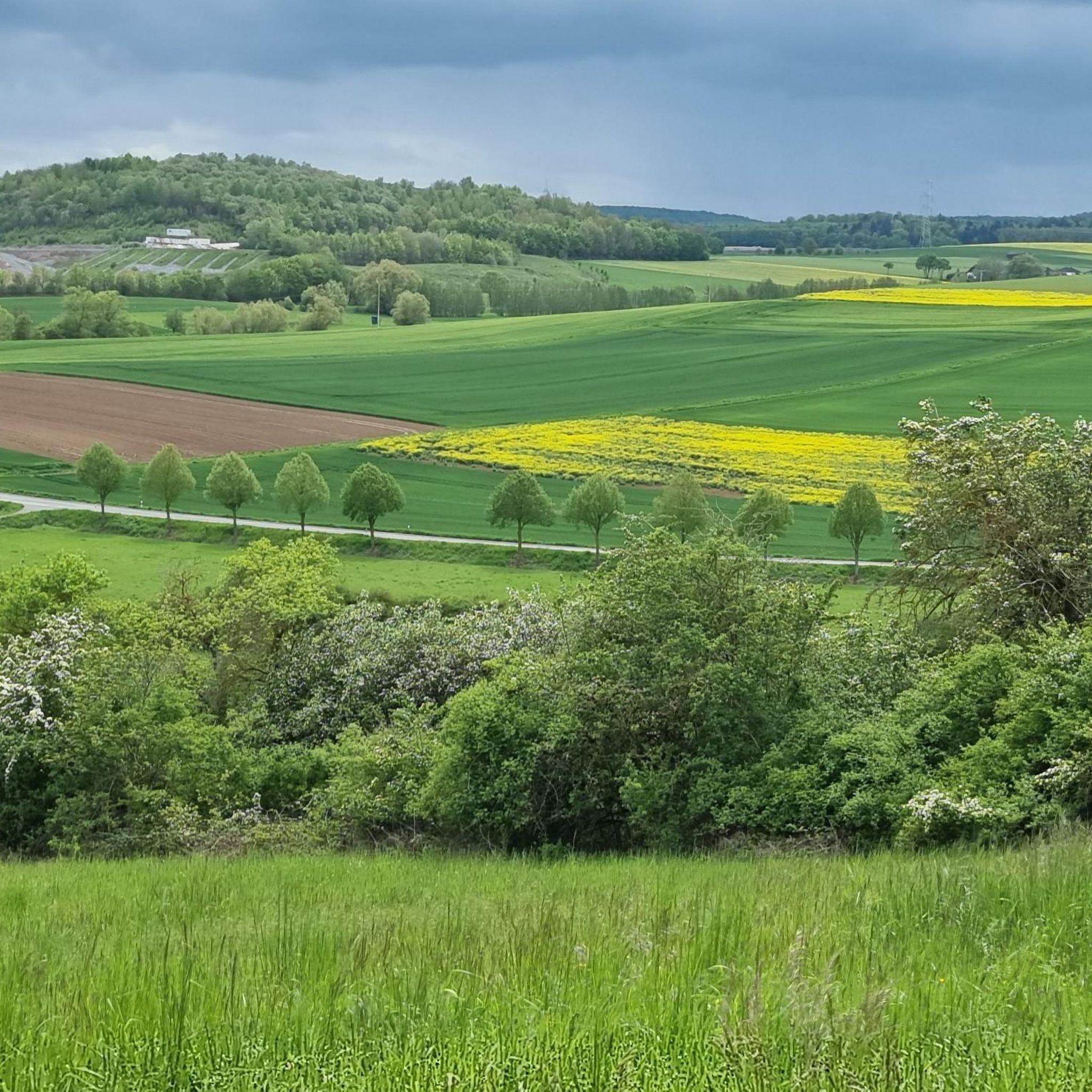
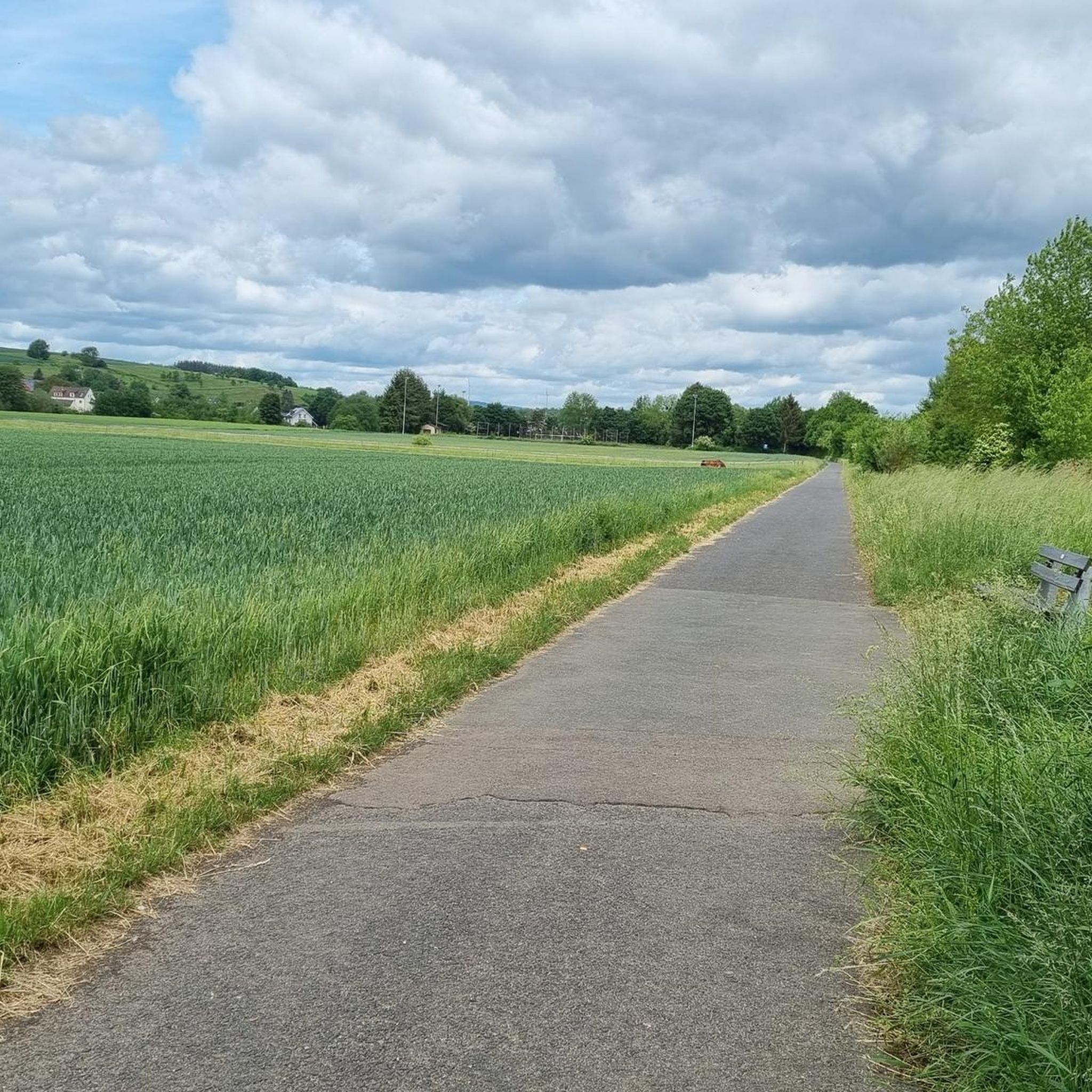
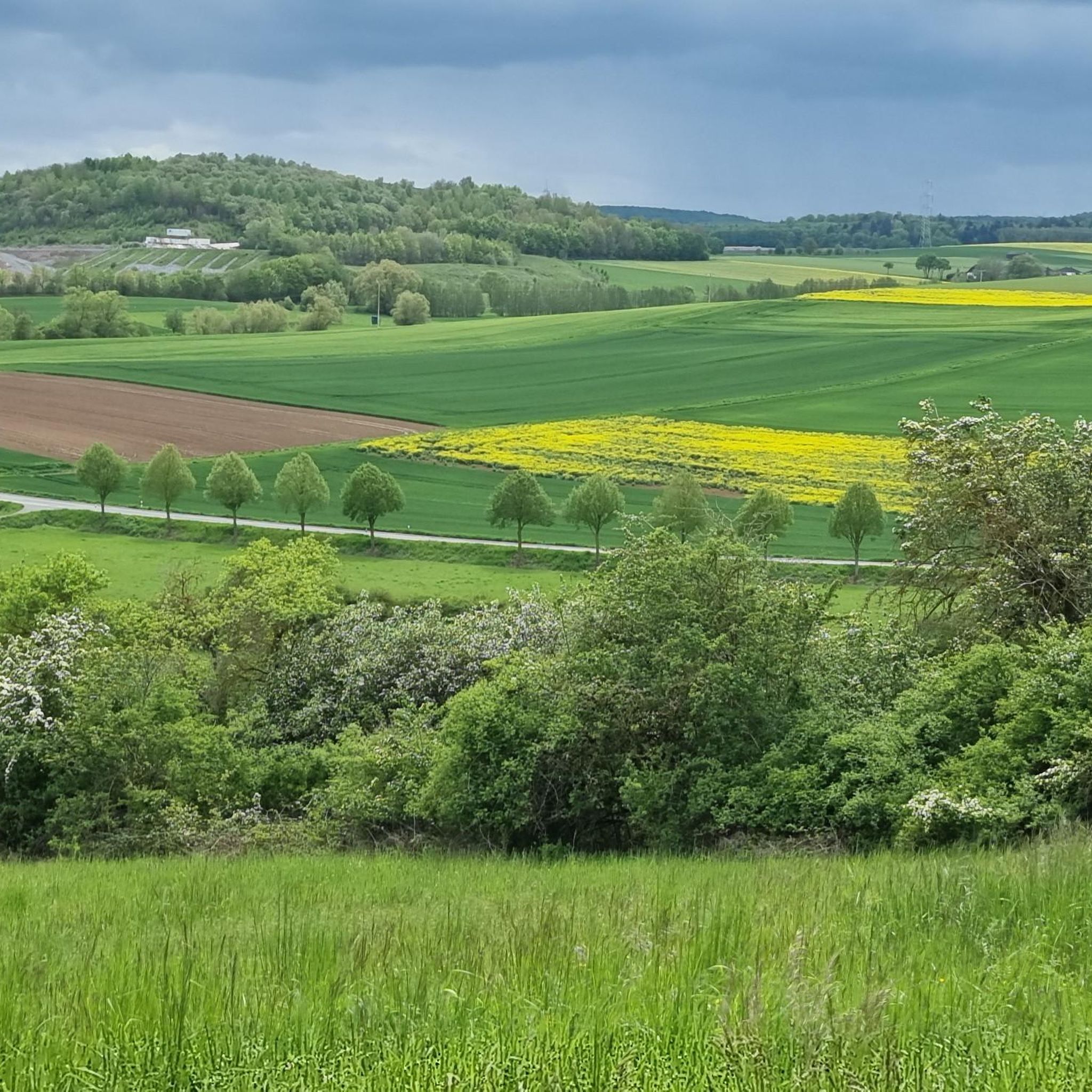
Tips from the Community

The district boundaries of Schönborn and Hahnstätten meet on the Ergenstein. There used to be a lookout point here, but it is now overgrown. The Hahnstätter Heimat- und Verschönerungsverein has erected a shelter at this spot. Immediately next to the hut, a path leads to the boundary stone, which is about 150 meters away. There are also other paths that lead to the boundary stone. It is best to look out for the small wooden arrows that are on the trees. http://www.jakupka.de/erg-hahn.htm
1
0

Today (05/15/2023) the peak has grown again. The stone comes from Schönborn.
1
0
Highest point in the Esterau, as the region around Holzappel is called. At the top there is a large pile of stones and a stone, although I'm not sure whether this should be a boundary stone or a "summit stone" ...?
1
0

The highest! At 443 meters, it is the highest point in the Diez area and the surrounding area.
3
0


Nice MTB destination. A little further down from the path you now have a nice view.
2
0

Great view from up here!
3
0

That's true.
3
0
Frequently Asked Questions
Which are the most highly-rated viewpoints or elevated spots near Niederneisen?
Visitors particularly appreciate the View from the Mensfelder Kopf, which offers panoramic views towards Limburg and Feldberg. Other popular spots include Ergenstein Summit, known for its shelter and altitude of 419 meters, and the View of the Lahn River bend from Gabelstein, offering a rewarding vista after a climb.
What kind of natural features can I expect to see from the elevated spots around Niederneisen?
The elevated areas around Niederneisen offer views of rolling hills, dense forests, and river valleys, particularly the Lahn River. You can also find nature reserves, such as the one at View from the Mensfelder Kopf, and enjoy panoramic vistas over the wide landscape.
Are there any significant mountain peaks in the wider Rhineland-Palatinate region?
While Niederneisen itself is characterized by hilly landscapes rather than prominent mountain peaks, the broader Rhineland-Palatinate region does feature more significant elevations. The Eifel mountains, located further afield, are home to the Hohe Acht, which stands at 746.9 meters and is the highest mountain in the Eifel. You can learn more about the natural experiences in the region on the Rhineland-Palatinate Tourism website.
Are there family-friendly elevated areas or viewpoints around Niederneisen?
Yes, the View from the Mensfelder Kopf is categorized as family-friendly, making it a suitable destination for outings with children. The general hilly landscape and well-maintained trails like the Aar-Höhenweg also offer accessible options for families to enjoy nature.
What outdoor activities can I do near these elevated areas?
The region around Niederneisen is excellent for various outdoor activities. You can explore numerous hiking trails, including the Aar-Höhenweg, and cycle along the Aartal-Radweg. For more specific routes, consider checking out the Road Cycling Routes around Niederneisen, Running Trails around Niederneisen, or Cycling around Niederneisen guides for detailed options.
What is the highest point directly in the region around Niederneisen?
The Höchst Summit is considered the highest point in the immediate region, reaching an altitude of 443 meters. It's a popular spot for visitors to add a stone to the existing pile.
Are there any trails that lead to these elevated spots?
Yes, the area is crisscrossed with trails. For instance, the ErgWurz Trail is a beautiful trail area that leads to an elevated point, though it doesn't offer extensive views. Many other paths, like the Aar-Höhenweg, also connect various viewpoints and summits.
What do visitors enjoy most about the elevated areas near Niederneisen?
Visitors frequently highlight the rewarding panoramic views, especially from spots like the View from the Mensfelder Kopf and the View of the Lahn River bend from Gabelstein. The sense of accomplishment after a climb and the peaceful natural surroundings are also highly valued.
Is there a place to rest or take shelter at any of the summits?
Yes, at the Ergenstein Summit, you will find a shelter. This spot, located near Schönborn, provides a convenient place to take a break during your exploration.
Can I find challenging hikes to elevated viewpoints in the area?
Yes, some viewpoints, such as the View of the Lahn River bend from Gabelstein, are described as a reward for 'hearty climbs,' indicating more challenging sections on the way to the vista. The region offers a mix of intermediate and challenging routes to suit different fitness levels.
What is the best time to visit the elevated areas around Niederneisen?
The region's rolling hills and forests are beautiful year-round. Spring and autumn offer pleasant temperatures and vibrant colors, making them ideal for hiking and cycling. Summer provides longer daylight hours, while winter can offer serene, snow-covered landscapes, though some trails might require appropriate gear.
Are there any specific tips for visiting the View from the Mensfelder Kopf?
The View from the Mensfelder Kopf is not only a viewpoint but also a gliding area and a nature reserve. Visitors recommend it for its 360-degree all-round views and note that there are excellent mountain biking routes in the vicinity.
Most popular routes around Niederneisen
Most popular attractions around Niederneisen

Get inspired with the komoot mobile app


Explore more
See even more amazing summits around Niederneisen with these guides:
