The best walks and hikes around Niederneisen
4.7
(749)
1,825
hikers
27
hikes
Hiking trails around Niederneisen offer diverse experiences through the Rhein-Lahn district, characterized by its proximity to the Taunus mountains and extensive forests. The region features the scenic Aar Valley, providing panoramic views and a commitment to ecological preservation. Hikers can explore gently rolling hills and natural settings, with many trails winding through shaded woodlands. This landscape provides ideal conditions for outdoor exploration, catering to various interests and ability levels.
Best hiking trails around Niederneisen
- The most popular hiking route is…
Last updated: October 4, 2026
4.8
(65)
32
hikers
Easy hike. Great for any fitness level. Easily-accessible paths. Suitable for all skill levels.
4.7
(23)
31
hikers
Easy hike. Great for any fitness level. Easily-accessible paths. Suitable for all skill levels.

4.7
(25)
49
hikers
Moderate hike. Good fitness required. Easily-accessible paths. Suitable for all skill levels.
4.7
(47)
37
hikers
Easy hike. Great for any fitness level. Easily-accessible paths. Suitable for all skill levels.
4.6
(13)
21
hikers
Moderate hike. Good fitness required. Easily-accessible paths. Suitable for all skill levels.
Get access to more routes and recommendations from other explorers.
Already have an account?
Our route recommendations are based on thousands of hikes, rides, and runs completed by other people on komoot.
Start today with a free account
Your next adventure awaits.
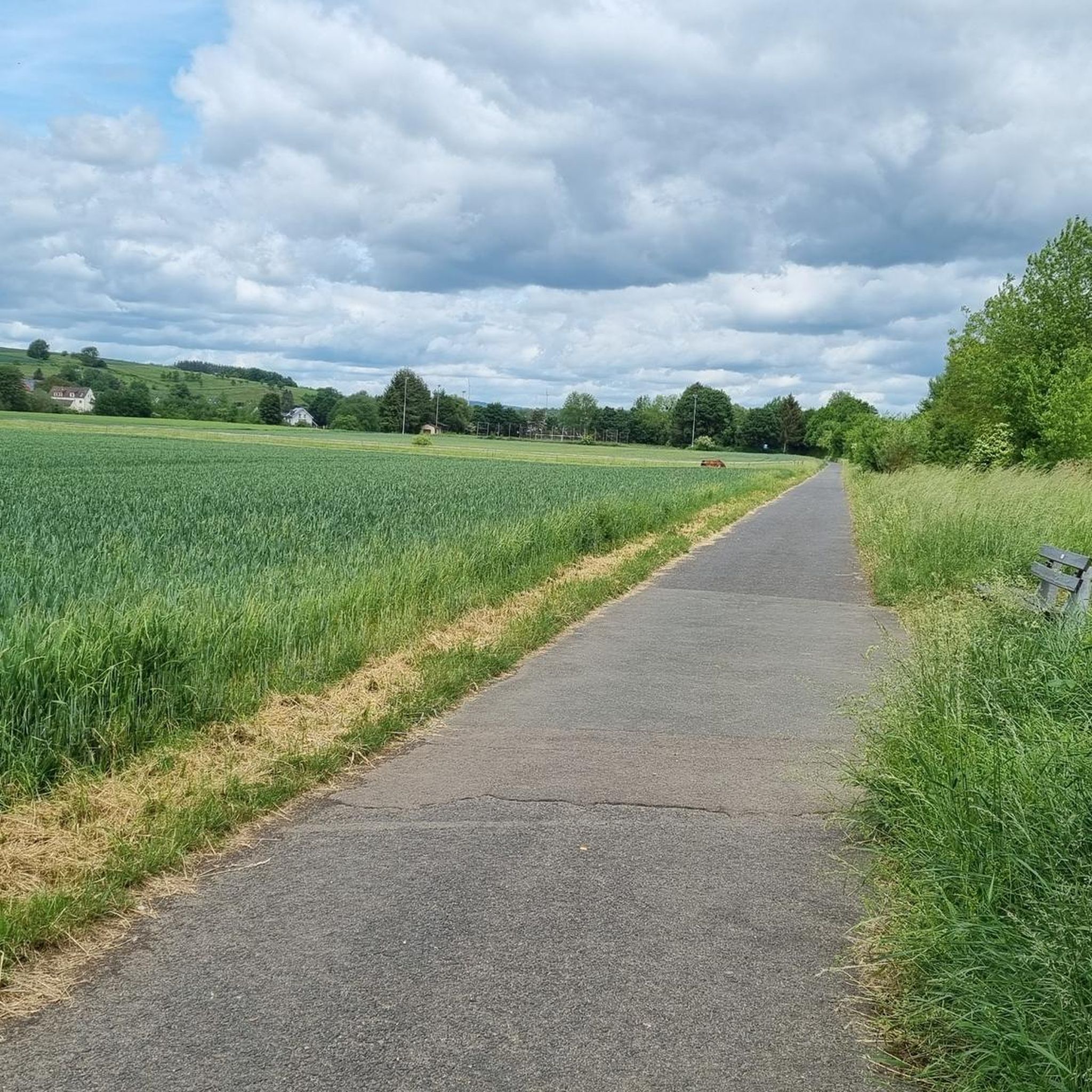
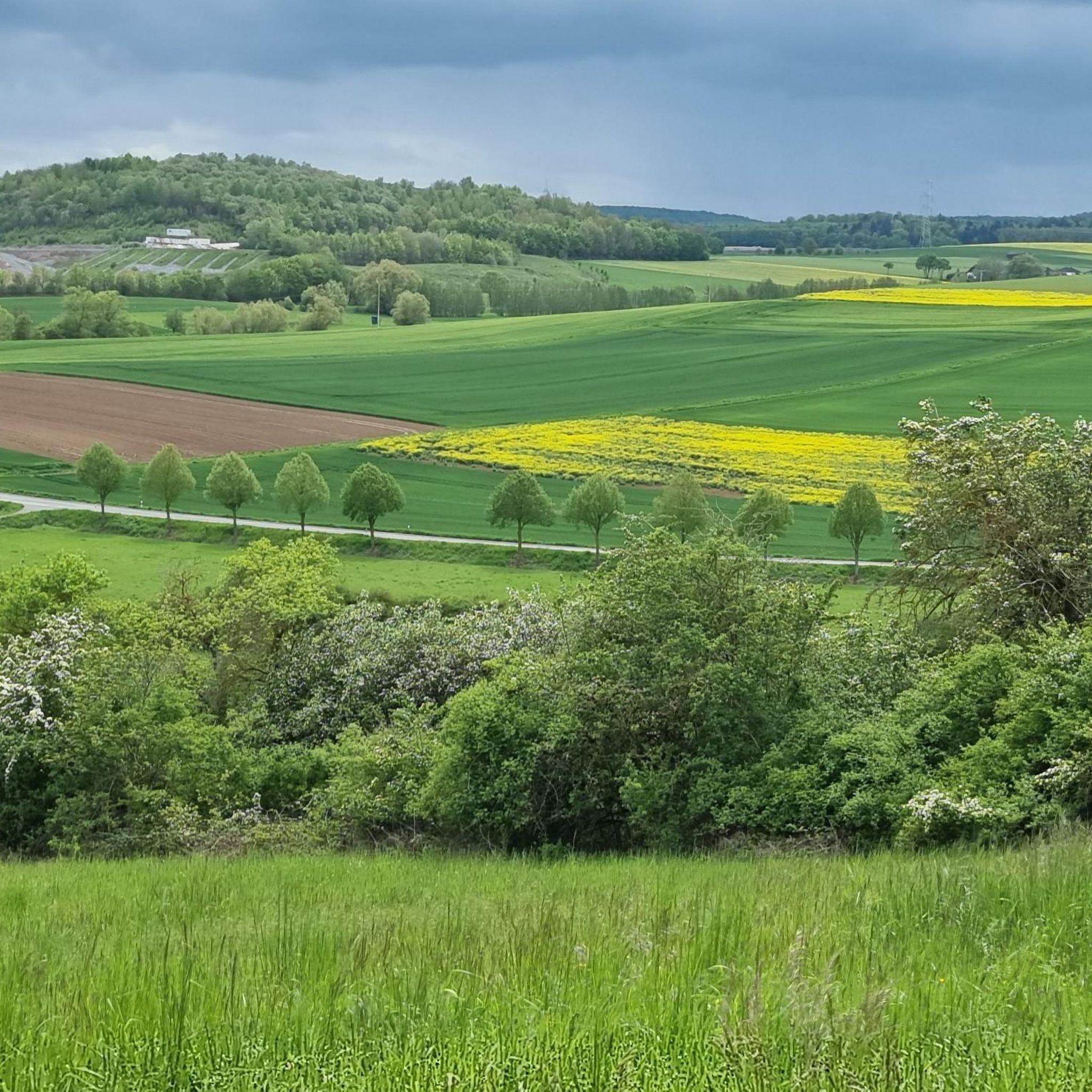
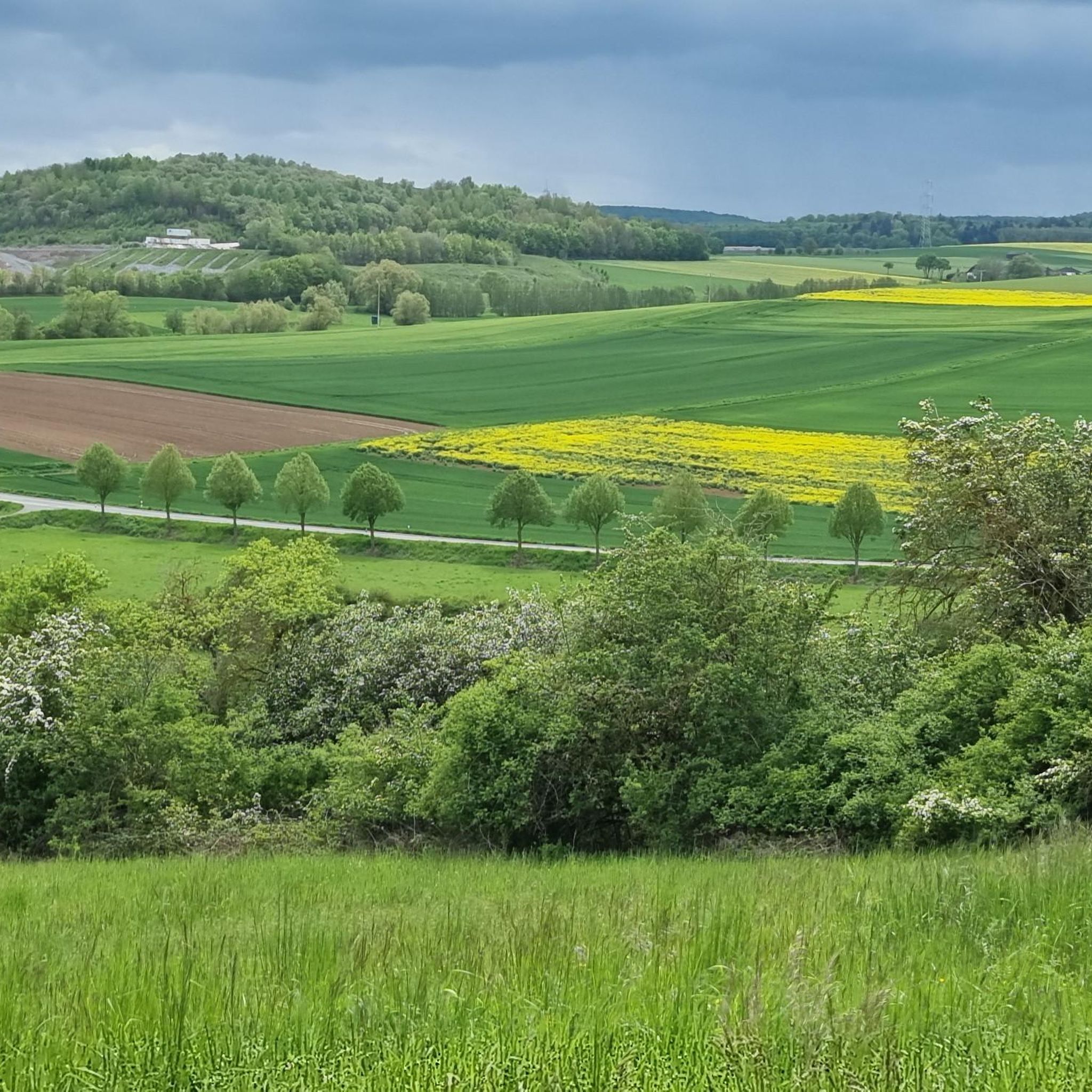
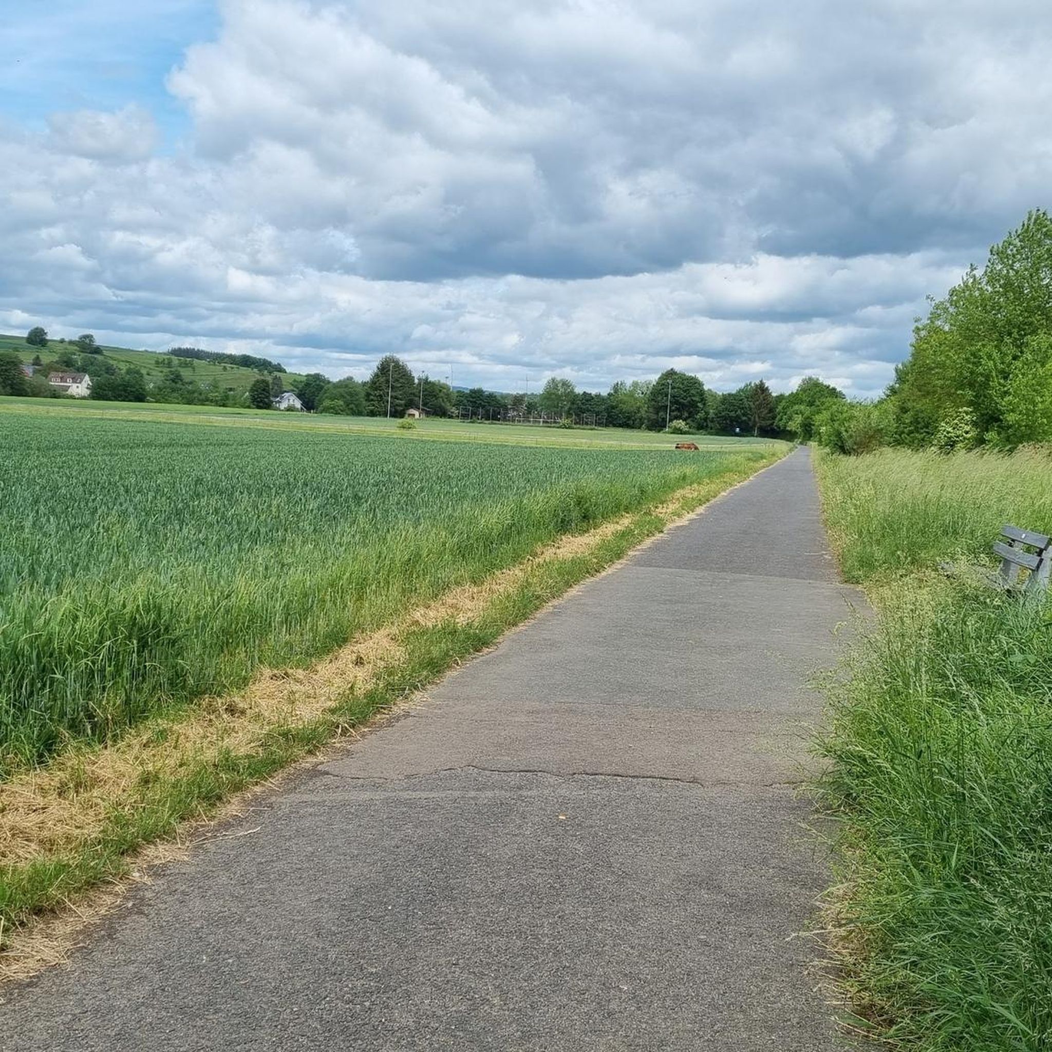
Tips from the Community

Formerly the good hard court of TuF Flacht. Today almost a lost place in Flacht.
1
0

At first I thought they were running free until I saw the fence
0
0
Probably depends on the day and time, unfortunately it was closed
0
0
Unfortunately, the train no longer goes there
1
0

The building is the town hall of Niederneisen. Above the arch of the door, there is a metallic inscription. Wikipedia claims that the building was erected in 1859 as a bakehouse with a bell tower and also served as a town hall.
0
0

The old station was once a lively place, full of sounds: steaming locomotives and waiting travelers. Freight cars were shunted, signals clicked, and the waiting room smelled of coal and fresh newspapers. This was where journeys to distant lands began or where workdays ended in the commuter traffic that shaped the life of the region. Today, the station has become silent; the tracks have disappeared or have become cycle paths. The station building bears traces of time, perhaps a café, a residential building, or simply a silent memory. But if you look closely, you can still recognize the rhythm of past decades—the course of the tracks in the grass, the ramp at the goods shed, the sign with faded lettering. The old station speaks without words of new beginnings and change, of technology and humanity, of the time when the train still meant heartbeat and connection here.
0
0

worth a visit, nice gift ideas
0
0
Frequently Asked Questions
What kind of landscapes can I expect to see while hiking around Niederneisen?
Hiking around Niederneisen offers a diverse experience through the Rhein-Lahn district. You'll encounter the scenic Aar Valley with panoramic views, gently rolling hills of the Hintertaunus, and extensive forests. The area is known for its commitment to ecological preservation, providing a natural setting with varied flora.
Are there any easy circular routes suitable for a relaxed walk?
Yes, Niederneisen offers several easy circular routes. For example, the 'Circular Route - Niederneisen (Ni 5) - Donkey Trail' is an easy 7.9 km panoramic tour over the Aar valley. Another option is the 'Circular Route - Niederneisen (Ni 1) - Sheep Path', an easy nature trail of about 9.3 km.
What are some notable natural features or viewpoints along the trails?
The region is rich in natural beauty. You can enjoy panoramic views over the Aar Valley, especially from trails like the 'Circular Route - Niederneisen (Ni 5) - Donkey Trail'. The 'Circular Route - Niederneisen (Ni 3) - Owl Path' offers magnificent and wide views over the landscape from the forest edge after a leisurely ascent through the Haselbachtal. The 'Circular Route - Niederneisen (Ni 4) - Rehweg' also provides extensive distant views over open heights on clear days.
Are there any family-friendly hiking options in Niederneisen?
Absolutely. The 'Circular Route - Niederneisen (Ni 3) - Owl Path' is particularly appealing for families and children, encouraging them to be 'nature explorers' and discover exciting elements along the way. Many of the easy circular routes are also suitable for families.
How many hiking trails are available in the Niederneisen area?
There are over 30 hiking routes available around Niederneisen, catering to various interests and ability levels. These include a mix of easy and moderate trails, ensuring there's something for everyone.
What do other hikers enjoy most about the trails in Niederneisen?
The trails in Niederneisen are highly rated by the komoot community, with an average score of 4.7 stars from nearly 700 reviews. Hikers often praise the scenic Aar Valley, the rolling hills of the Hintertaunus, and the extensive forests that define the area's varied terrain.
Are there any specific landmarks or attractions to look out for on the hikes?
Yes, some routes offer views of historical sites. For instance, the Flacht train station building – View of Ardeck Castle loop from Niederneisen provides views of Ardeck Castle. The 'Circular Route - Niederneisen (Ni 5) - Donkey Trail' also encourages exploration of historical traces along the Wingertsberg. Additionally, you can explore natural gorges nearby, such as the Jammertal at the Dörsbach or the Brunnenbach Gorge and Waterfalls.
What is the best time of year to go hiking in Niederneisen?
Niederneisen's diverse landscapes, with forests and open heights, make it suitable for hiking across multiple seasons. Spring and autumn offer pleasant temperatures and vibrant natural colors, while the extensive forests provide welcome shade during warmer summer months. Clear days in any season can offer extensive distant views.
Are there any longer, more challenging trails for experienced hikers?
While many routes are easy to moderate, the 'Aar-Höhenweg' (Aar Heights Trail) is a long-distance hiking trail spanning approximately 64.9 km, offering a moderately difficult route for those seeking a more extensive challenge. Within the immediate area, there are also moderate routes like the View of Niederneisen – View of the Limburger Basin loop from Niederneisen.
Can I reach the hiking trails around Niederneisen using public transport?
Niederneisen is located in the Rhein-Lahn district, and while specific public transport connections to trailheads may vary, the region is generally accessible. It's advisable to check local bus or train schedules to Niederneisen or nearby towns like Flacht, which is a starting point for some routes, such as the Flacht train station building – Cycling Path with Rest Area loop from Niederneisen.
Are there any trails that offer expansive views of the wider region?
Yes, several trails provide broad vistas. The View of the Taunus Countryside – View of the Aar Valley loop from Niederneisen offers expansive views of both the Taunus countryside and the Aar Valley. Additionally, the 'Circular Route - Niederneisen (Ni 4) - Rehweg' leads over open heights, providing extensive distant views on clear days.
Are dogs allowed on the hiking trails in Niederneisen?
Generally, dogs are welcome on hiking trails in the Niederneisen area, especially given the natural and forested environments. However, it's always recommended to keep dogs on a leash, particularly in nature reserves or areas with livestock, and to respect local regulations and other hikers.
Most popular routes around Niederneisen
Most popular attractions around Niederneisen

Get inspired with the komoot mobile app


Explore more
Browse the best Hikes in other regions.
