The 19 Most Amazing Peaks around Thermalbad Wiesenbad
Best mountain peaks around Thermalbad Wiesenbad, located in the Ore Mountains, provide access to various mountain peaks and rock formations. The region is known for its thermal springs, with the surrounding mountainous landscape offering opportunities for outdoor activities. These areas feature geological formations, historical sites, and panoramic views.
Best mountain peaks around Thermalbad Wiesenbad
- The most popular mountain peaks is Pöhlberg Observation Tower and Berghotel Röthberg, a viewpoint that features a 35-meter-high observation tower and a mountain hotel on…
Last updated: September 27, 2026
Pöhlberg Observation Tower and Berghotel Röthberg
Highlight • Viewpoint
Translated by Google •
Tip by

Dreibrüderhöhe Observation Tower
Highlight • Viewpoint
Translated by Google •
Tip by
Sign up now to discover places like this
Get recommendations on the best single tracks, peaks, & plenty of other exciting outdoor places.
Scheibenberg Observation Tower and Mountain Inn
Highlight • Viewpoint
Translated by Google •
Tip by
Schatzenstein
Highlight • Monument
Translated by Google •
Tip by

Schreckenberg Tower
Highlight • Monument
Translated by Google •
Tip by

Sign up for free to discover even more peaks around Thermalbad Wiesenbad.
Already have an account?
Start today with a free account
Your next adventure awaits.
Popular around Thermalbad Wiesenbad
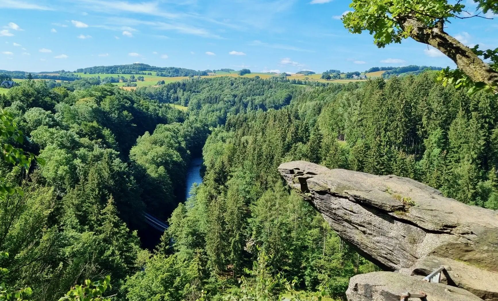
From Fichtelberg to Mulde - The Zschopautal Hiking Trail

Wandertouren - Eisenbahn & Wanderstock
Hiking around Thermalbad Wiesenbad
Cycling around Thermalbad Wiesenbad
Road Cycling Routes around Thermalbad Wiesenbad
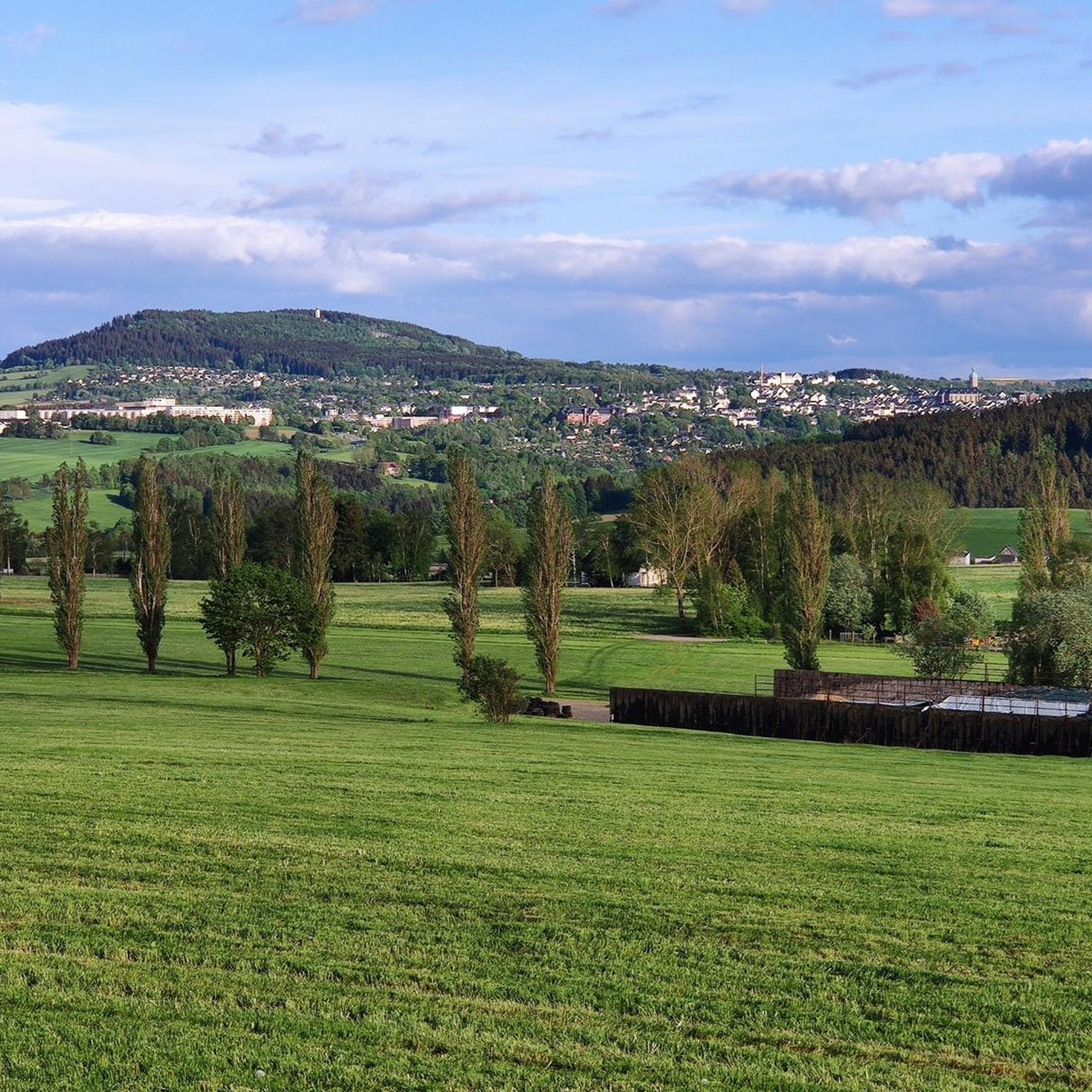
MTB Trails around Thermalbad Wiesenbad
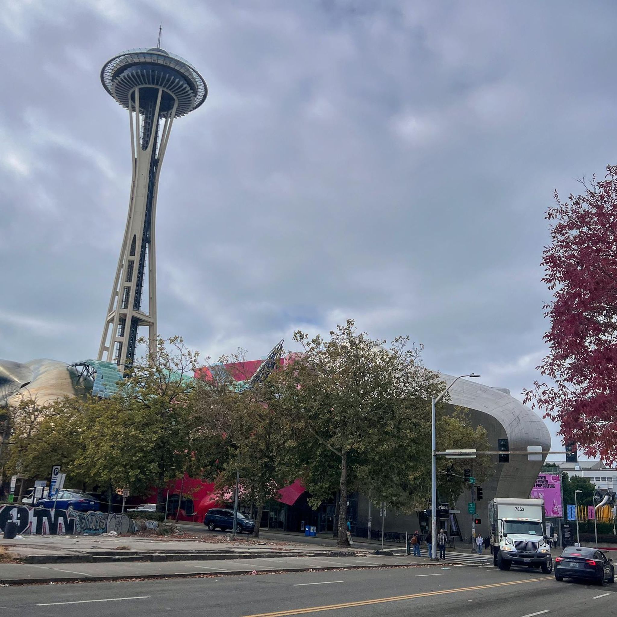
Gravel biking around Thermalbad Wiesenbad
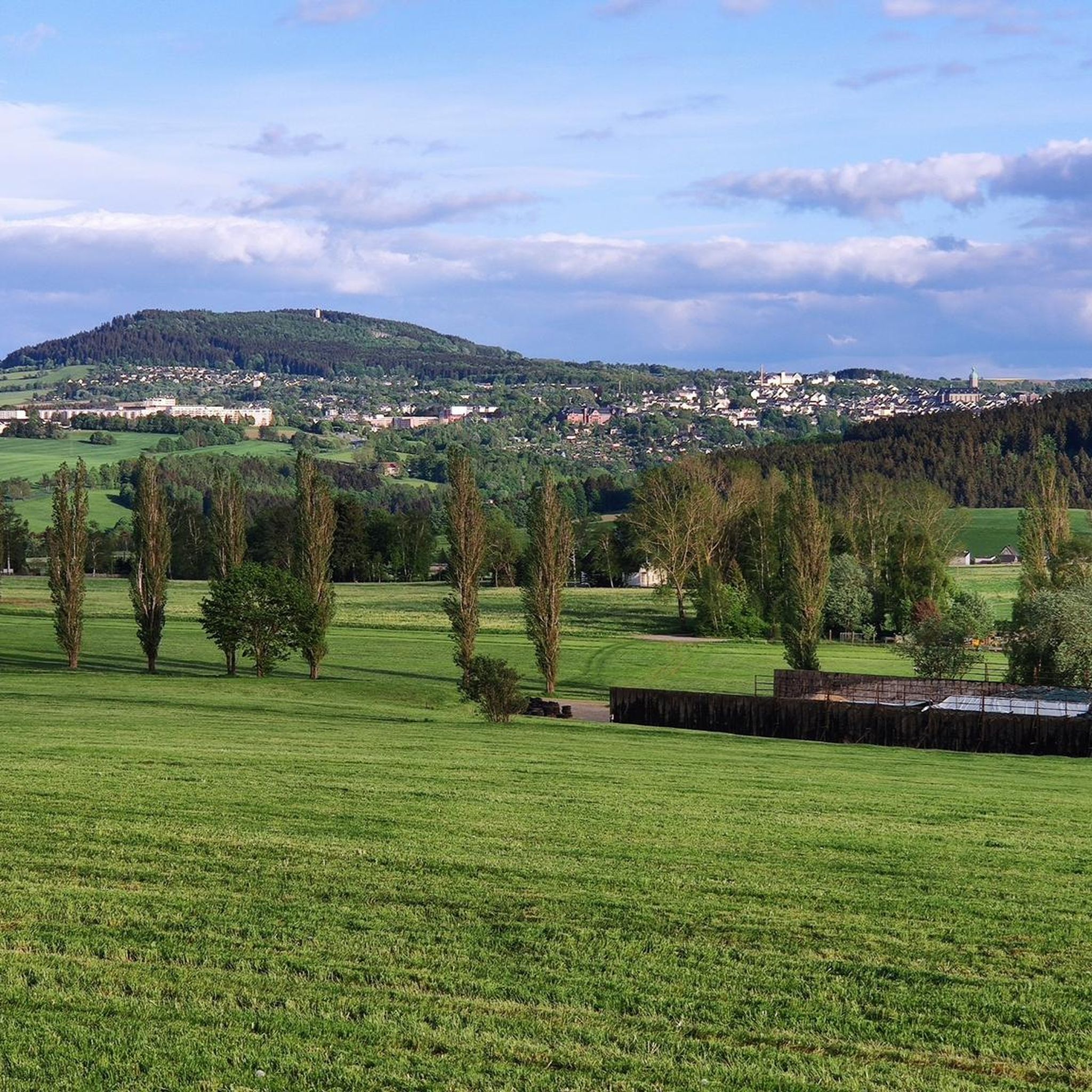
Running Trails around Thermalbad Wiesenbad
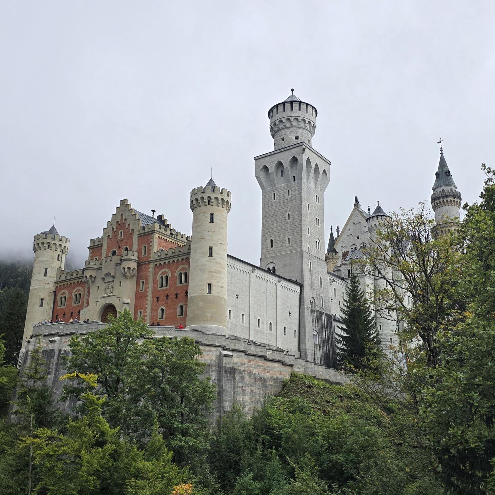
Mountain Hikes around Thermalbad Wiesenbad
Other adventures around Thermalbad Wiesenbad


Tips from the Community

At Schatzenstein you will find Nagel's Column, Station 127 of the Saxon State Survey of 1864, and the memorial plaque for Max Schreyer, the composer of the "Vuglbärbaam" song. A large rest area with a shelter offers space for a relaxing break.
3
0

The Royal Saxon Triangulation (here with its historical proper name) is a state survey carried out in the years 1862 to 1890 on the territory of the Kingdom of Saxony, with the simultaneous creation of a trigonometric network. The aim was to capture the state territory with scientific-geodetic accuracy and to create the basis for the production of accurate map works by establishing permanently marked fixed points. The triangulation network created by August Nagel was considered one of the most accurate survey networks in the world at its time. The Nagel's columns are preserved today as technical monuments. From Schatzenstein, the stations Greifenstein, Scheibenberg, Fichtelberg, Hirschensprung, Auersberg, Hirschenstein, and Katzenstein were sighted. Unfortunately, this panoramic view is no longer available.
2
0

The survey is primarily of historical significance. This is where the roots of Annaberg silver ore mining lie. In October 1491, Caspar Nietzel came across a silver vein not far from the Frohnauer Obermühle. As a result, in 1496 the “Neustadt am Schockenberg” was built on the opposite bank of the Sehm, which was soon given the name Sankt Annaberg.
1
0

The Schatzenstein is a 760.4 m high mountain in the Ore Mountains. The Schatzenstein lies directly northwest of the town of Elterlein, on the municipal borders with Zwönitz and Grünhain-Beierfeld in the Grünhain Forest. The Schatzenstein area is a popular hiking destination with several phyllite cliffs, some reaching up to ten meters in height. However, due to the dense forest, there are hardly any distant views. At the highest point of the Schatzenstein stands a pillar of the Royal Saxon Triangulation, and a memorial plaque for the dialect poet Max Schreyer, commemorating the 100th anniversary of the creation of his well-known song "Dar Vuglbärbaam," is embedded in the rock. Max Schreyer was the head forester of this district between 1887 and 1893.
1
0

The Schreckenberg near Annaberg-Buchholz is located in the Ore Mountains and has a height of approx. 649 m above sea level. NN. The Schreckenberg is, among other things, a historical place because the roots of Annaberg silver mining lie here. At the end of the 15th century, a silver vein was discovered on the Schreckenberg in the Ore Mountains and a few years later the "Neustadt am Schreckenberg" was founded - which soon received the name "Sankt Annaberg". The Schreckenberg is also known as an attractive vantage point with a good view, e.g. of the Pöhlberg opposite and the mountain town of Annaberg-Buchholz in the Ore Mountains and much more. The castle ruins built in the 19th century on the Schreckenberg (Saxony) are particularly worth mentioning, with the remains of castle walls and a castle tower etc. Around the Schreckenberg you will find idyllic landscapes, attractive hiking trails and much more. The International Mountain Hiking Trail (EB), for example, leads along the Schreckenberg. https://www.dein-erzgebirge.de/aussichtspunkte-berge/schreckenberg.html
5
0

The climb to the Schrecksberg is definitely worth it, as you will be rewarded by a beautiful ruin and a great view.
2
1

The Schreckenberg near Frohnau in the Erzgebirge district is a 648.8 m above sea level. NHN high hill in the middle Ore Mountains. It is located one kilometer northwest of Annaberg-Buchholz in the district of Frohnau. The history of Schreckenberg Castle near Annaberg-Buchholz in Saxony is rather atypical for the construction of a castle. The first reason is that the castle was built very late, between 1854 and 1856. At a time when castles had already lost their importance. Secondly, it is no longer clear why the castle was built. However, one can assume that this can only be seen as emergency work. The client was the Privy Councilor Carl Friedrich Reiche-Eisenstuck. The system was built by the unemployed, which is why the theory of the job creation measure is justified. The construction was privately financed. Today only a ruin remains of the former castle. You can still see the round castle tower and some remains of the wall. The castle was not used after the Second World War and fell into disrepair. After reunification, restoration work was carried out on the tower. The facility is freely accessible.
1
0

In May 1883, an 18-metre-high iron lookout tower on the Drei Brüderhöhe was inaugurated by the Marienberg branch of the Ore Mountains. It was built by Maschinenfabrik C. Reinsch from Dresden at a price of around 6000 Reichsmarks. The tower, named in 1884 after the deceased wife of the then Prince George of Saxony Princess-Marien-Turm, soon became very popular as an excursion destination. The observation tower was closed for a long time by the building authorities. He was also not far from the restricted area at the military training area of the "National People's Army". It was therefore demolished and scrapped on March 11, 1977. The city of Marienberg had a new, 25.4 meter high observation tower built on the Drei Brüderhöhe, which was inaugurated on May 12, 1994 and allows a good view of Marienberg and the charming landscape up to the Fichtelberg and Keilberg.
5
0
Frequently Asked Questions
Which mountain peaks near Thermalbad Wiesenbad offer the best panoramic views?
For extensive panoramic views, consider visiting Pöhlberg Observation Tower and Berghotel Röthberg, which offers vistas across Annaberg-Buchholz and the broader Ore Mountains, extending to Fichtelberg and Klínovec on clear days. Another excellent option is the Dreibrüderhöhe Observation Tower, providing wide views over the Ore Mountains and the immediate surroundings of Marienberg. The Greifensteine also offer impressive views from viewpoints like the Kreuzfelsen.
Are there any mountain peaks with historical or cultural significance near Thermalbad Wiesenbad?
Yes, several peaks have rich histories. The eastern slope of Pöhlberg features the Pöhlberg Mining Landscape, part of the UNESCO World Heritage Site Montanregion Erzgebirge/Krušnohoří, with remnants of historical silver, copper, and tin mining. The Greifensteine area is also part of this UNESCO site, known for its intensive tin mining history and a visitor mine nearby. Additionally, the Schreckenberg Tower is built on a mountain with roots in Annaberg silver mining, and the Schatzenstein Triangulation Pillar marks a Royal Saxon Triangulation site from 1864.
What kind of geological features can I expect to see on the mountain peaks around Thermalbad Wiesenbad?
The region is known for diverse geological formations. Pöhlberg is a striking basalt table mountain, famous for its impressive basalt columns, sometimes called 'butter barrels,' visible on its western and northern slopes. The Greifensteine are an impressive granite rock formation, with distinctive 'woolsack' shaped rocks formed by erosion. The area around Thermalbad Wiesenbad generally features basalt table mountains and granite formations.
Are there family-friendly mountain walks or activities near Thermalbad Wiesenbad?
Yes, the Dreibrüderhöhe Observation Tower is categorized as family-friendly, offering an accessible observation tower and hiking opportunities. The Greifensteine also provide a unique natural setting with an open-air theatre that uses the rock formations as a stage, which can be an engaging experience for families.
What hiking opportunities are available on the mountain peaks near Thermalbad Wiesenbad?
Many peaks offer excellent hiking. Pöhlberg has various hiking trails leading to its summit. Dreibrüderhöhe is easily accessible via signposted hiking trails from nearby towns, and the International Mountain Hiking Route Eisenach–Budapest passes by. The Greifensteine area is also popular for hiking, with numerous trails weaving through the unique rock formations. For more hiking options, you can explore the Running Trails around Thermalbad Wiesenbad guide, which includes routes like the 'Strobel Promenade – Idyllic Zschopau Valley loop'.
Are there mountain hotels or restaurants on any of the peaks?
Yes, you can find amenities directly on some summits. Pöhlberg Observation Tower and Berghotel Röthberg features a mountain hotel and restaurant at its 831-meter summit. Similarly, the Dreibrüderhöhe Observation Tower has a mountain hotel adjacent to it, inviting visitors to stop and relax. The Scheibenberg Observation Tower and Mountain Inn also offers a mountain inn for accommodation and dining.
What other outdoor activities can I do near the mountain peaks around Thermalbad Wiesenbad?
Beyond hiking, the region offers diverse outdoor activities. The Greifensteine area is popular for climbing, with various routes available. For cycling enthusiasts, there are numerous routes, including road cycling and mountain biking. You can find detailed routes in the Road Cycling Routes around Thermalbad Wiesenbad and MTB Trails around Thermalbad Wiesenbad guides. For example, the 'Bärenstein–Kühberg Cycle Path' for road cycling or the 'Hahn Bridge – Umanutá Koza Food Truck loop' for mountain biking.
Where can I find parking for visiting these mountain peaks?
For Dreibrüderhöhe, there are parking spaces available adjacent to the observation tower, including spots for caravans. For other peaks, it's generally advisable to check local signage or information for specific parking areas near trailheads or summit access points.
What do visitors enjoy most about the mountain peaks near Thermalbad Wiesenbad?
Visitors highly appreciate the extensive panoramic views from observation towers like Pöhlberg and Dreibrüderhöhe. The unique geological formations of Pöhlberg's basalt columns and Greifensteine's granite rocks are also a major draw. Many enjoy the combination of outdoor activities, historical insights, and the opportunity to relax at mountain hotels or inns found on the summits.
Is there a good time of year to visit the mountain peaks in the Ore Mountains?
The Ore Mountains offer beauty throughout the year. Spring and autumn provide pleasant temperatures for hiking and clear views, with vibrant foliage in autumn. Summer is ideal for longer days and enjoying outdoor activities. Winter offers opportunities for winter hiking, though conditions can be challenging, and some facilities might have reduced hours. Always check local weather conditions before your visit.
Can I find challenging mountain climbs in the Thermalbad Wiesenbad area?
While many trails are suitable for intermediate hikers, the Greifensteine area offers various climbing routes that can be quite challenging, catering to different skill levels. For cycling, routes like the 'Final Climb to Klínovec Summit – Fichtelberg Ascent loop' from Thermalbad Wiesenbad are rated as difficult, indicating more strenuous options for experienced adventurers.
Most popular routes around Thermalbad Wiesenbad
Most popular attractions around Thermalbad Wiesenbad

Get inspired with the komoot mobile app


Explore more
See even more amazing summits around Thermalbad Wiesenbad with these guides:
