The best road cycling routes around Thermalbad Wiesenbad
4.6
(348)
3,485
riders
15
rides
Road cycling around Thermalbad Wiesenbad is characterized by its location within the Ore Mountains, offering varied terrain from river valleys to mountain ascents. The region is situated at an elevation of 435 meters above sea level, with a landscape that includes forests and the Zschopau Valley. Cyclists encounter quiet roads and asphalt surfaces, with options for both leisurely rides and demanding routes featuring significant elevation changes. The area is part of a landscape protection zone, providing natural surroundings for cycling.
Best road cycling routes around Thermalbad Wiesenbad
- The most popular road cycling route is Bärenstein–Kühberg Cycle Path – Hotel Fichtenhäusel loop from Thermalbad Wiesenbad, a 23.1 miles (37.2 km) trail that takes 1 hour 45 minutes to complete. This moderate route features an elevation gain of over 1,470 feet (450 meters).
- Another top favourite among local road cyclists is Wolkenstein Castle – Schmalzgrube loop from Wiesa, a moderate 33.7 miles (54.2 km) path. This route offers views of Wolkenstein Castle and traverses varied terrain with an elevation gain of over 2,570 feet (780 meters).
- Local road cyclists also love the Final Climb to Klínovec Summit – Fichtelberg Ascent loop from Thermalbad Wiesenbad, a 54.2 miles (87.3 km) trail leading through mountainous terrain, often completed in about 4 hours 21 minutes. This difficult route includes a substantial elevation gain of over 4,410 feet (1,340 meters).
- Road cycling around Thermalbad Wiesenbad is defined by scenic river valleys, challenging mountain ascents, and forested areas. The network offers options for different ability levels, from moderate rides to difficult climbs.
- The routes in Thermalbad Wiesenbad are highly rated by the komoot community with an average score of 4.4 stars from over 150 reviews. More than 1,400 road cyclists have used komoot to explore Thermalbad Wiesenbad's varied terrain.
Last updated: October 4, 2026
5.0
(5)
41
riders
Moderate road ride. Good fitness required. Mostly well-paved surfaces and easy to ride.
4.8
(6)
57
riders
54.2km
02:39
780m
780m
Moderate road ride. Good fitness required. Mostly well-paved surfaces and easy to ride.

4.8
(5)
52
riders
87.6km
04:21
1,350m
1,350m
Hard road ride. Very good fitness required. Some segments of this route may be unpaved and difficult to ride.
5.0
(1)
35
riders
58.7km
02:52
800m
800m
Moderate road ride. Good fitness required. Mostly well-paved surfaces and easy to ride.
5.0
(1)
35
riders
Moderate road ride. Good fitness required. Mostly well-paved surfaces and easy to ride.
Get access to more routes and recommendations from other explorers.
Already have an account?
Our route recommendations are based on thousands of hikes, rides, and runs completed by other people on komoot.
Start today with a free account
Your next adventure awaits.
Popular around Thermalbad Wiesenbad
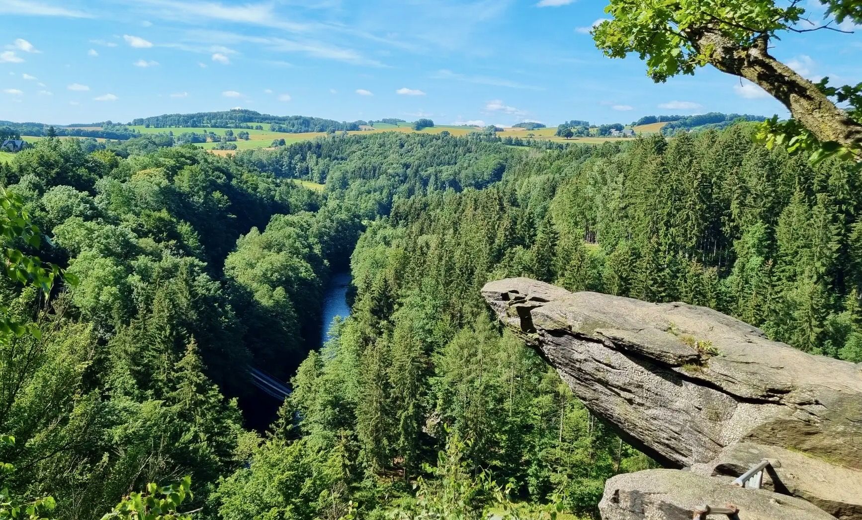
From Fichtelberg to Mulde - The Zschopautal Hiking Trail

Wandertouren - Eisenbahn & Wanderstock
Hiking around Thermalbad Wiesenbad
Cycling around Thermalbad Wiesenbad
MTB Trails around Thermalbad Wiesenbad

Gravel biking around Thermalbad Wiesenbad
Running Trails around Thermalbad Wiesenbad
Mountain Hikes around Thermalbad Wiesenbad
Other adventures around Thermalbad Wiesenbad


Tips from the Community


The Fichtelberg is the highest mountain in Saxony (1215 m above sea level) Very nice view from here
0
0

With every step, closer to the summit – the Fichtelberg climb on the Stoneman Miriquidi Road. From the intersection, it's not far anymore, and motivation gets a final boost.
1
0
The longest climb on the Miriquidi Road – and I was climbing at night. There was hardly any traffic, absolute peace and quiet, and a view of the starry sky at the summit. An adventure that makes Klínovec even more unforgettable.
1
0

The Catholic Church of St. Boniface belongs to the Catholic parish of "Mary, Mother of the Church." This parish stretches from Thum through Annaberg-Buchholz, Bärenstein, Oberwiesenthal, Marienberg, and Olbernhau to Neuhausen. In September 2021, St. Boniface celebrated the centenary of its consecration.
16
0
The first weather observer on this summit was the innkeeper of the Fichtelberghaus. He recorded his weather observations from 1890 onwards, but from 1898 onwards only intermittently, and from 1910 onwards not at all. The head of the Royal Saxon State Meteorological Observatory, Paul Schreiber, suggested the construction of a permanent weather observatory. Temperature, wind speed, and precipitation amounts have been continuously recorded here since January 1, 1916. The strongest storm recorded here was on January 3, 1976, with a peak gust speed of 216 kilometers per hour. The coldest day on the summit was February 9, 1956, with minus 30.4 degrees Celsius; the warmest was July 27, 1983, with plus 30.8 degrees Celsius. The highest snow cover was measured in March 1944: 3.35 meters. The year 1951 was bad for Fichtelberg tourists: it held the record for foggy days with 315.
13
1

A top-notch route. In summer, the sun beats down on the asphalt. But you'll be rewarded with a fantastic view at the top.
0
0
If you're doing the Stoneman, this is your first short detour to the Czech Republic. The EU makes it easy 🇪🇺🙂
0
0
Frequently Asked Questions
How many road cycling routes are available around Thermalbad Wiesenbad?
There are over 15 road cycling routes around Thermalbad Wiesenbad, offering a variety of experiences for different skill levels. These routes are highly rated by the komoot community, with an average score of 4.4 stars from over 150 reviews.
What kind of terrain can I expect when road cycling in Thermalbad Wiesenbad?
Road cycling in Thermalbad Wiesenbad offers varied terrain, from scenic river valleys like the Zschopau Valley to challenging mountain ascents towards the Fichtelberg. You'll primarily encounter quiet roads and asphalt surfaces, with some routes featuring significant elevation changes as you explore the picturesque Ore Mountains.
Are there challenging road cycling routes with significant elevation gains?
Yes, the region is known for its demanding routes. For instance, the Final Climb to Klínovec Summit – Fichtelberg Ascent loop from Thermalbad Wiesenbad is a difficult route covering 54.2 miles (87.3 km) with a substantial elevation gain of over 4,410 feet (1,340 meters). The proximity to Fichtelberg, the highest mountain in Saxony, ensures plenty of opportunities for challenging climbs.
What natural features or viewpoints can I see along road cycling routes?
You can enjoy stunning views from various points, including those towards the Fichtelberg summit. The region is part of the "Oberes Erzgebirge" landscape protection area, offering well-preserved natural beauty. Notable viewpoints include the Greifensteine Observation Rock, Bridge Cliff, and Wolkensteiner Schweiz Viewpoint. You might also ride along the Schwarzwasser river and through forests known for wild-growing orchids.
Are there historical landmarks or cultural attractions to explore on a road cycling tour?
Absolutely. The area is rich in history. You can cycle past impressive sites like Wolkenstein Castle, or the ruins of Scharfenstein Castle. The region's mining history can be explored, with points of interest such as the Frohnauer Hammer and various mining educational trails like the Garisch-Stolln Mine Entrance or Dorothea Stolln Visitor Mine.
What do other road cyclists enjoy the most about road cycling in Thermalbad Wiesenbad?
The area is highly rated by the komoot community, with an average score of 4.4 stars. Reviewers often praise the varied terrain, which caters to both leisurely rides and demanding climbs, as well as the beautiful natural surroundings and well-maintained cycling paths through the Ore Mountains.
Are there any moderate-difficulty road cycling routes suitable for a longer ride?
Yes, for a moderate yet longer ride, consider the Wolkenstein Castle – Schmalzgrube loop from Wiesa. This 33.7-mile (54.2 km) route offers views of Wolkenstein Castle and traverses varied terrain with an elevation gain of over 2,570 feet (780 meters).
Where can I find a good starting point for road cycling routes in Thermalbad Wiesenbad?
The spa park in Thermalbad Wiesenbad serves as a central starting point for various cycling routes. Many tours, such as the Bärenstein–Kühberg Cycle Path – Hotel Fichtenhäusel loop from Thermalbad Wiesenbad, begin directly from the town, making it convenient to access the network.
Are there any circular road cycling routes available?
Yes, many routes in the region are designed as loops. For example, the Wolkenstein Castle – Forellenhof stop loop from Wiesa is a moderate 36.4-mile (58.6 km) circular route with over 2,680 feet (817 meters) of elevation gain, offering a comprehensive experience of the local landscape.
What is the best time of year for road cycling in Thermalbad Wiesenbad?
The spring, summer, and early autumn months generally offer the most pleasant conditions for road cycling in Thermalbad Wiesenbad. During these seasons, the weather is typically mild, and the natural beauty of the Ore Mountains is at its peak, providing an ideal backdrop for your rides.
Can I find routes that offer views of the Fichtelberg without being extremely difficult?
Yes, you can find routes that provide views of the Fichtelberg while remaining within a moderate difficulty range. The Jöhstadt–Grumbach Höhenstraße – View of Fichtelberg loop from Thermalbad Wiesenbad is a moderate 38.9-mile (62.5 km) route with over 2,810 feet (857 meters) of elevation gain, offering scenic vistas without the extreme challenge of a summit climb.
Most popular routes around Thermalbad Wiesenbad
Most popular attractions around Thermalbad Wiesenbad

Get inspired with the komoot mobile app


Explore more
Browse the best Road cycling routes in other regions.
