The 5 Most Amazing Peaks around Croesyceiliog
Best mountain peaks around Croesyceiliog are found in the surrounding region of Cwmbran, Torfaen, Wales. This area features notable hills and elevated areas that provide panoramic views and recreational opportunities. The landscape is characterized by natural beauty and historical significance, offering diverse experiences for hikers. These elevated areas are cherished for their natural beauty, historical significance, and recreational opportunities.
Best mountain peaks around Croesyceiliog
- The most popular mountain peaks is Twmbarlwm Hill and Iron Age hillfort, a historical site…
Last updated: May 22, 2026
Twmbarlwm Hill and Iron Age hillfort
Highlight • Historical Site
Tip by

Mynydd Machen Summit
Highlight • Viewpoint
Tip by
Sign up now to discover places like this
Get recommendations on the best single tracks, peaks, & plenty of other exciting outdoor places.
Sign up for free
Trig point at Mynydd Twyn-glas summit
Highlight • Natural Monument
Tip by

Mynydd y Lan
Highlight • Summit
Tip by
View from Mynydd Garn Clochdy
Highlight • Trail
Tip by

Start today with a free account
Your next adventure awaits.
Login or Signup
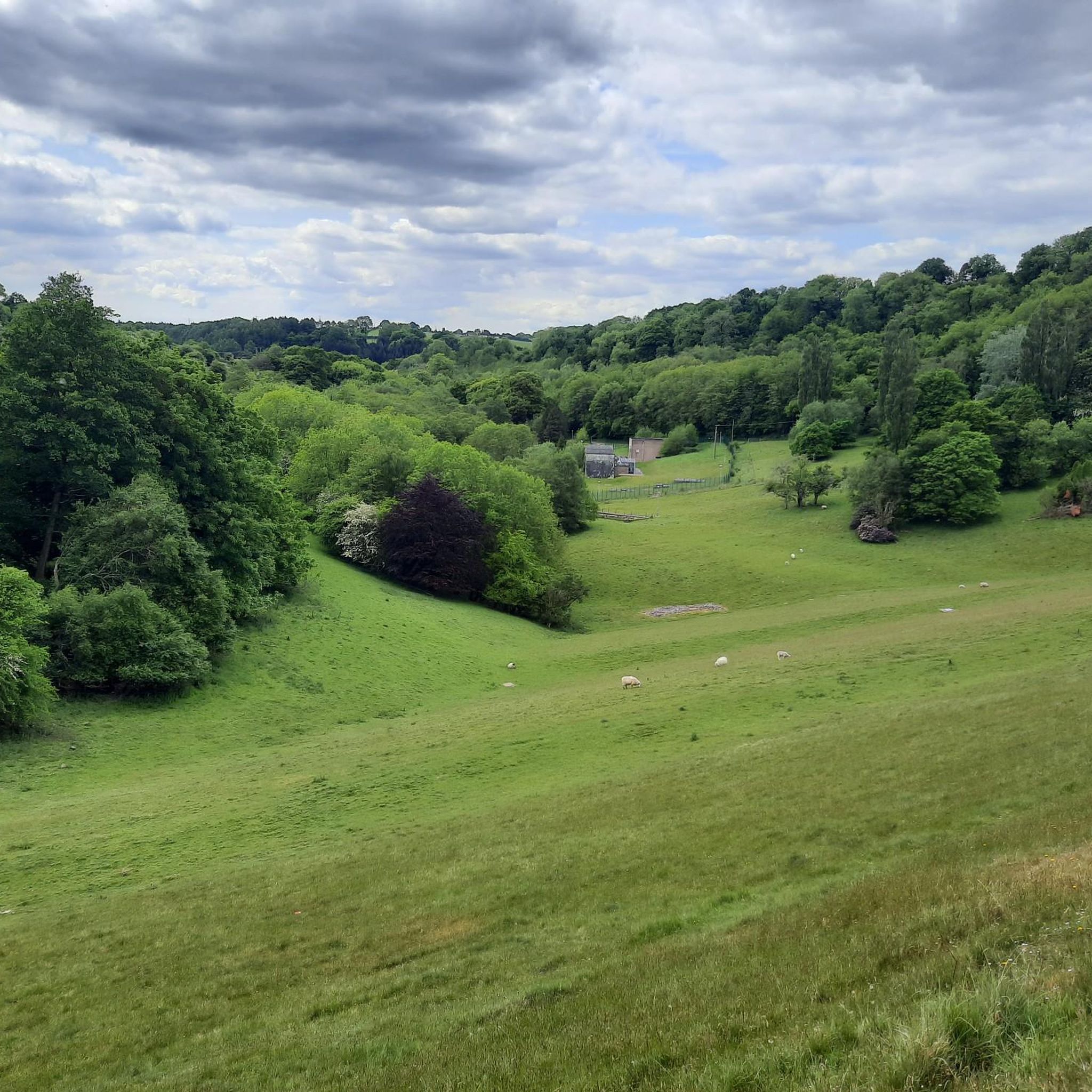
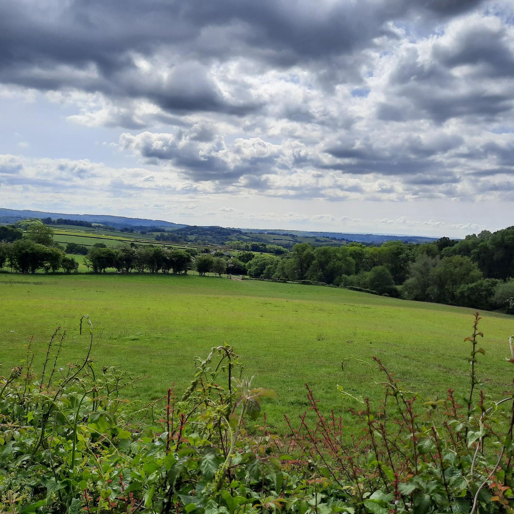
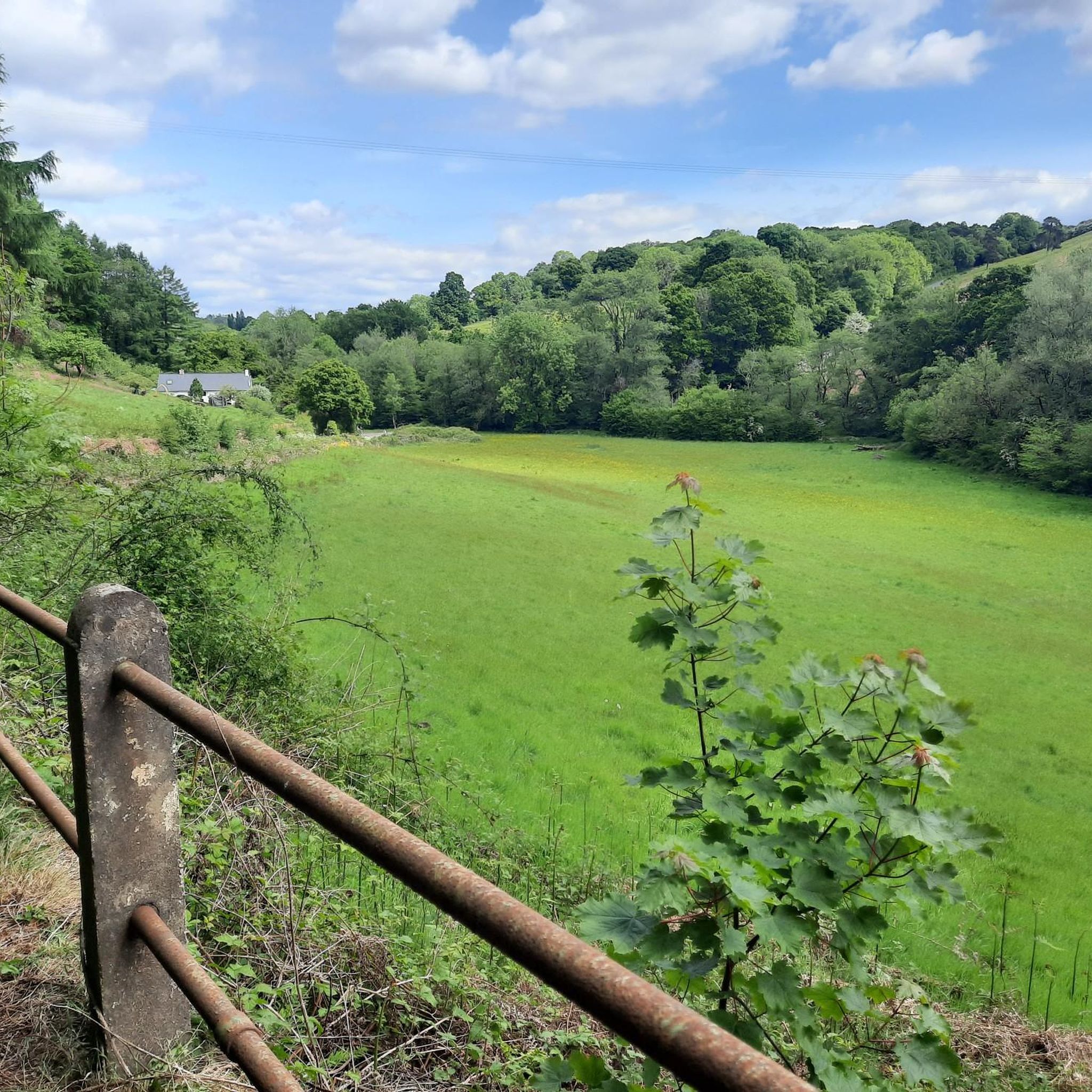

Tips from the Community

Nice ascent from Crosskeys, but watch out for very overgrown pathways on the Machen side. Great views from the top!
1
0

Twmbarlwm is a prominent hill and archaeological site located near the town of Cwmcarn in South Wales. It is part of the Caerphilly County Borough and is known for both its natural beauty and historical significance. Here are some key points about Twmbarlwm: Key Features: Hillfort: Twmbarlwm is home to the remains of an ancient hillfort, dating back to the Iron Age. The fortifications, which include earthworks and ramparts, suggest it was a significant settlement during that period. Celtic Connections: The name "Twmbarlwm" is thought to derive from Welsh, with "Twm" being a diminutive of "Tudur" and "barlwm" referring to a mound or hill. The site is associated with Celtic history and mythology. Natural Beauty: The hill offers stunning views of the surrounding landscape, including the nearby valleys and mountains. It is a popular destination for walkers, hikers, and outdoor enthusiasts. Archaeological Significance: Twmbarlwm has been the subject of various archaeological studies, which have revealed insights into ancient settlement patterns, defensive strategies, and daily life in prehistoric Wales. Access: The hill is accessible via footpaths, making it a popular spot for local residents and visitors. There are several trails that lead to the summit, offering a rewarding hike. Cultural Heritage: The site is connected to local folklore and legends, contributing to its cultural significance in the region. Visiting: If you plan to visit Twmbarlwm, it’s a good idea to check local resources or hiking guides for specific trails and information about the area. The site is a great way to experience the natural beauty and historical richness of South Wales.
1
0

A small summit above Risca. Known locally as the "Twmp" (the hump), the pimple or the nipple, due to the shape of the mound on the summit.
1
0

Cracking local walk, gain height for amazing views and walk over to twmbarlwm
0
0

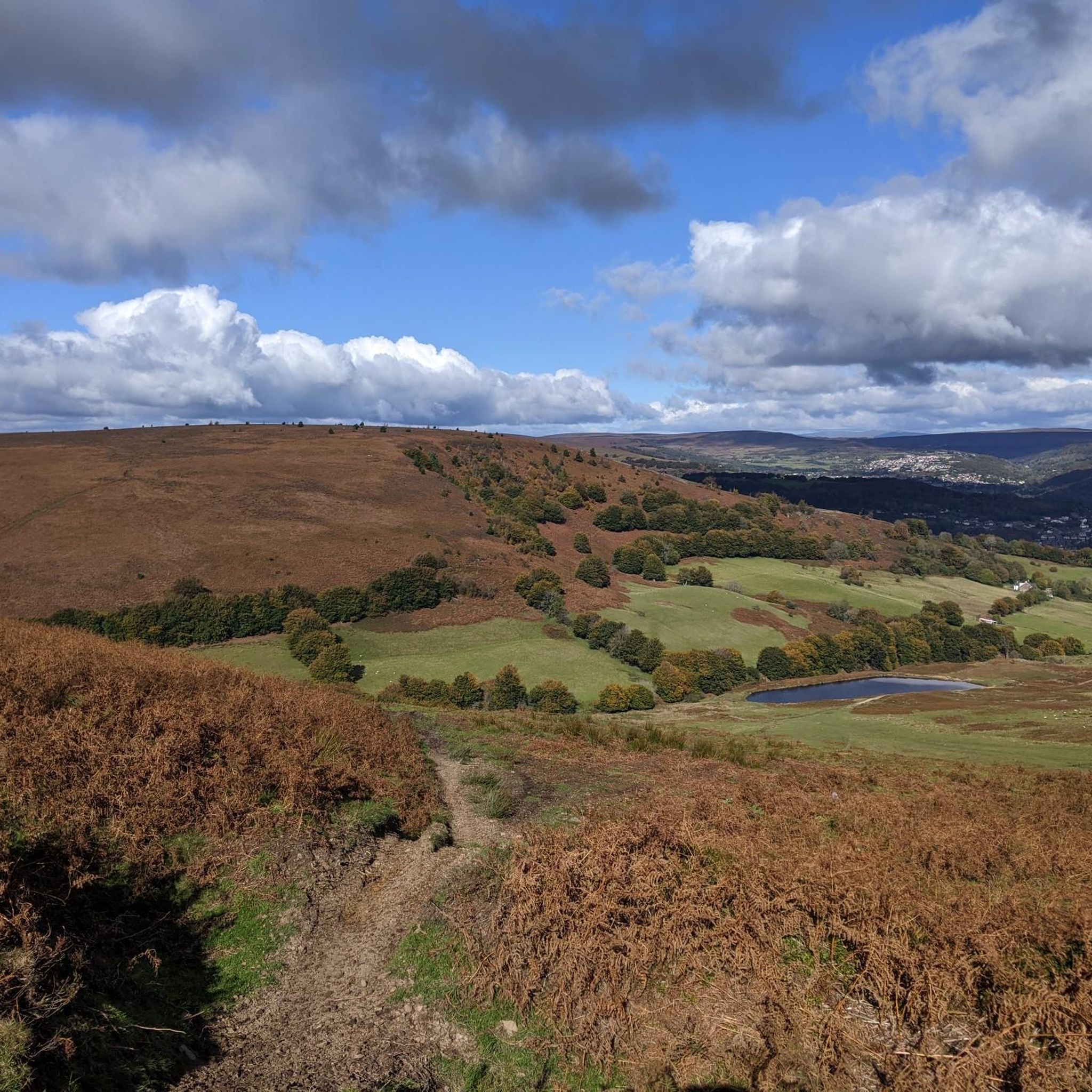
A steady climb from the canal at Goytre Wharf to the ridge of Mynydd Garn Clochdy wins spectacular views of the Brecon Bacons Black mountains and the Bristol Channel. The return route weavers woodland and passing a Tavern .The route is over tracks fields lanes. There is one long climb over a mile of level open mountain ridge .You probably wont need a compass but take one just in case
1
0

plenty of free parking in Machen next to the village hall and library
1
0

Twmbarlwm is a 1,375 foot (419 m) hill that is rich in beauty, history and folklore. From the summit, you are afforded wonderful views of the Severn Estuary. There is an Iron Age hill fort on the summit, too.
2
0
Mynydd Machen is a 1,188-foot (362 m) hill in South Wales which affords glorious views over Newport, Cardiff, Steep Holm, Flat Holm, Brean Down, and the Severn Estuary. The summit is marked by the rock 10 feet (3 m) northwest of the trig point.
2
0
Frequently Asked Questions
What are some of the most popular mountain peaks to visit near Croesyceiliog?
Visitors frequently enjoy Twmbarlwm Hill and Iron Age hillfort, known for its historical significance and extensive views. Another favorite is Mynydd Machen Summit, offering panoramic vistas over Newport, Cardiff, and the Severn Estuary. The Trig point at Mynydd Twyn-glas summit is also popular for its rolling plateau and amazing views.
What kind of views can I expect from the peaks around Croesyceiliog?
The peaks around Croesyceiliog offer diverse and far-reaching views. From Coity Mountain, you can see towards the Severn Estuary. Twmbarlwm commands views across the M4 corridor, Newport, Cwmbran, and out over the Bristol Channel. Mynydd Machen provides rewarding panoramas across Cardiff Bay, Newport, and the Severn Estuary.
Are there any historically significant peaks in the Croesyceiliog area?
Yes, Twmbarlwm is particularly significant, featuring an Iron Age hillfort at its summit and being steeped in local folklore. Much of Coity Mountain is also part of the Blaenavon Industrial Landscape World Heritage Site, with a history of coal mining beneath its surface.
Are there easy hiking trails available on the peaks near Croesyceiliog?
While many peaks offer challenging routes, you can find easier hiking options in the surrounding area. For example, the guide for Easy hikes around Croesyceiliog features routes like the 'Pontymoile Basin loop from New Inn' and 'Llanyrafon Water Mill – Cwmbran Boating Lake loop from Cwmbrân', which are rated as easy.
What other outdoor activities can I do near the mountain peaks around Croesyceiliog?
Beyond hiking, the region offers excellent opportunities for cycling. You can explore various routes for cycling around Croesyceiliog, including moderate and difficult options like the 'Afon Llwyd Waterfall – Caerleon to Usk Road loop'. There are also dedicated road cycling routes for those seeking a different kind of challenge.
Are the mountain peaks around Croesyceiliog suitable for families?
Many of the elevated areas offer rewarding walks that can be enjoyed by families, especially those with older children or those accustomed to walking. While some peaks involve steep climbs, there are also more accessible paths and areas with historical interest that can engage younger visitors. Always check specific route details for difficulty and suitability.
Where can I find parking when visiting these mountain peaks?
Parking availability varies by location. For instance, there is often plenty of free parking in Machen next to the village hall and library, which is convenient for accessing Mynydd Machen Summit. For other peaks, it's advisable to research specific starting points or trailheads for designated parking areas.
What is the best time of year to hike the peaks near Croesyceiliog?
Spring and autumn generally offer the most pleasant conditions for hiking, with milder temperatures and beautiful scenery. Summer can be warm, but also provides long daylight hours. Winter walks are possible, but require appropriate gear due to potentially wet, windy, or icy conditions, especially on higher, more exposed moorland like Coity Mountain.
Are there any unique natural features or local legends associated with the peaks?
Yes, the region is rich in unique features and folklore. On Mynydd Henllys, you can find the mysterious 'Pool of Avarice' (Pwll Tra), which is said to always be full despite no visible water source. Mynydd Machen is associated with the legend of 'The Devil's Apron Strings,' while Twmbarlwm has tales of a buried giant and treasure guarded by bees. Coity Mountain features a memorial known as the 'Dog Stone'.
What do visitors enjoy most about the mountain peaks around Croesyceiliog?
Visitors particularly appreciate the expansive and rewarding views from the summits, the rich historical context, and the sense of wild, open moorland. The distinctive landmarks like the Iron Age hillfort on Twmbarlwm and the trig points on various peaks are also popular. The komoot community has shared 26 photos and given 57 upvotes, highlighting the area's appeal.
How do the peaks around Croesyceiliog compare to the Brecon Beacons?
While the Brecon Beacons offer higher, more dramatic mountain ranges, the peaks around Croesyceiliog provide a distinct experience with their own charm. They are cherished for their local natural beauty, historical significance, and accessibility for day trips. Peaks like Coity Mountain and Twmbarlwm offer rewarding hikes and panoramic views without the same level of remoteness or extreme elevation found in the Brecon Beacons.
Are there any less-known or 'hidden gem' mountain trails in the area?
While specific 'hidden gem' trails are not explicitly detailed, exploring areas like Mynydd Henllys can offer rewarding walks with historical and geological interest, including the mysterious 'Pool of Avarice'. The diverse terrain of Mynydd Machen, with its steep beech woodlands merging into panoramic hilltops, also provides varied and potentially less-trafficked routes.
Most popular routes around Croesyceiliog
Most popular attractions around Croesyceiliog

Get inspired with the komoot mobile app


Explore more
See even more amazing summits around Croesyceiliog with these guides:
