The best gravel rides around Croesyceiliog
4.6
(6)
54
riders
3
rides
Gravel biking around Croesyceiliog offers routes that traverse a landscape characterized by canal paths, former industrial heritage sites, and varied woodlands. The region provides a mix of terrain suitable for gravel bikes, often following waterways and through rural areas. These routes frequently feature undulating profiles with notable elevation gains, including rocky roads and fire roads. The area acts as a gateway to wider Torfaen and Monmouthshire areas, offering diverse unpaved cycling trails near Croesyceiliog.
Best gravel bike trails around Croesyceiliog
- The most popular gravel bike trail is Pontymoile Basin – Llanelly Quarry Limekilns loop from Pontypool and New Inn, a 33.1 miles (53.3 km) trail that takes 3 hours 25 minutes to complete. This difficult route explores canal-side paths and areas around historical limekilns.
- Another top favourite among local gravel bikers is Monmouthshire and Brecon Canal – Monmouthshire & Brecon Canal loop from Newport, a difficult 81.8 miles (131.7 km) path. This route follows sections of the historic Monmouth and Brecon Canal, offering a mix of surfaces.
- Local gravel bikers also love the Coed Craig Ruperra – Ruperra Castle loop from Rogerstone, a 19.8 miles (31.8 km) trail leading through woodlands and rural landscapes, often completed in about 2 hours 19 minutes.
- Gravel biking around Croesyceiliog is defined by canal routes, woodland sections, and challenging climbs. The network offers options primarily for experienced gravel bikers, with a few moderate routes available.
- The routes in Croesyceiliog are highly rated by the komoot community with an average score of 4.7 stars from over 7 reviews. More than 60 gravel bikers have used komoot to explore Croesyceiliog's varied terrain.
Last updated: May 21, 2026
4.2
(5)
44
riders
Hard gravel ride. Very good fitness required. Mostly paved surfaces. Suitable for all skill levels.
5.0
(1)
3
riders
31.8km
02:19
600m
600m
Hard gravel ride. Very good fitness required. Mostly paved surfaces. Suitable for all skill levels.

Sign up for free
3
riders
77.7km
05:07
920m
920m
Hard gravel ride. Very good fitness required. Mostly paved surfaces. Suitable for all skill levels.
1
riders
24.4km
01:43
400m
400m
Moderate gravel ride. Good fitness required. Mostly paved surfaces. Suitable for all skill levels.
3
riders
33.8km
02:22
460m
460m
Hard gravel ride. Very good fitness required. Mostly paved surfaces. Suitable for all skill levels.
Our route recommendations are based on thousands of hikes, rides, and runs completed by other people on komoot.
Start today with a free account
Your next adventure awaits.
Login or Signup
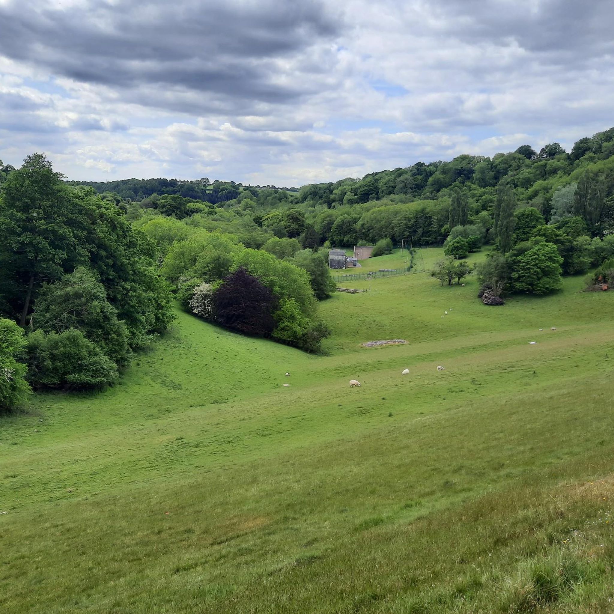
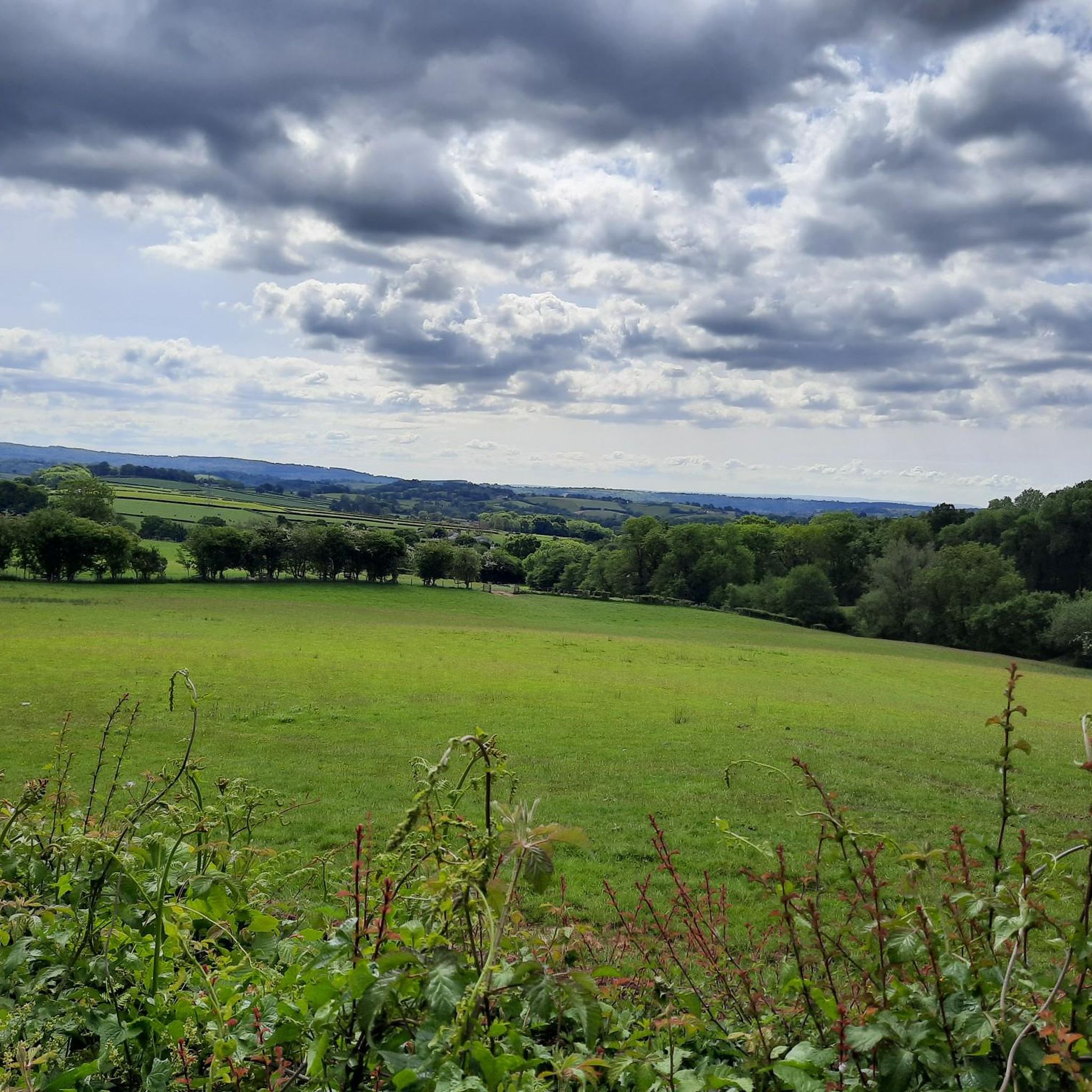
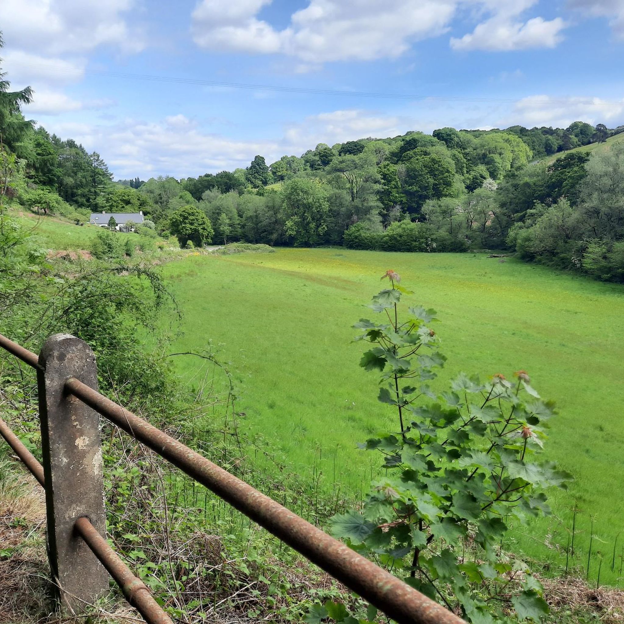
Tips from the Community


Flat out gravel fun with awesome descents
0
0
Great fire roads and criss-crossing MTB single track Some super steep descents too. Also it's beautiful
0
0
It's a beautiful canal but what is amazing is that it runs all the way to Brecon
0
0

Great cruise down into Abergavenny for coffee!
0
0
Frequently Asked Questions
How many gravel bike trails are available around Croesyceiliog?
There are over 7 gravel bike trails in the Croesyceiliog area, offering a variety of routes primarily for experienced riders. The network includes routes along canal paths and through varied woodlands.
Are there any easy gravel bike trails suitable for beginners in Croesyceiliog?
The gravel biking routes around Croesyceiliog are generally considered challenging, with most routes rated as 'difficult'. There is one moderate route available, but beginners should be prepared for undulating profiles and significant elevation gains.
What kind of terrain can I expect on gravel bike trails near Croesyceiliog?
You can expect a mix of terrain, often following canal-side paths, former industrial heritage sites like limekilns, and varied woodlands. The routes frequently feature undulating profiles with notable elevation gains, typical of the South Wales landscape.
Are there any circular gravel bike routes in the area?
Yes, many of the gravel bike routes around Croesyceiliog are circular. For example, the challenging Pontymoile Basin – Llanelly Quarry Limekilns loop from Pontypool and New Inn is a popular circular option, as is the longer Monmouth and Brecon Canal – Monmouthshire Canal Lock loop from Rogerstone.
What are some interesting landmarks or attractions I can see along the gravel bike trails?
Many routes incorporate historical and natural sights. You might pass by the Monmouthshire and Brecon Canal Lock, or explore areas near the Llanelly Quarry Limekilns. Other nearby attractions include Twmbarlwm Hill and Iron Age hillfort, and the Folly Tower (Pontypool).
Are there any routes that pass by lakes or reservoirs?
While the routes themselves focus on canals and woodlands, the wider region features several beautiful bodies of water. The Llandegfedd Reservoir and Cwmbran Boating Lake are notable nearby highlights that you could visit before or after your ride.
What is the best time of year for gravel biking in Croesyceiliog?
The best time for gravel biking in Croesyceiliog is generally from spring through autumn when the weather is milder and the trails are less likely to be muddy. While possible in winter, conditions can be wet and challenging, especially on unpaved sections.
How long do the gravel bike routes typically take to complete?
The duration varies significantly by route and your pace. For instance, the Coed Craig Ruperra – Ruperra Castle loop from Rogerstone can take around 2 hours 20 minutes, while the extensive Monmouthshire Canal Lock – Monmouthshire and Brecon Canal loop from Newport might require about 9 hours 35 minutes.
What do other gravel bikers say about the trails in Croesyceiliog?
The area is highly rated by the komoot community, with an average score of 4.6 stars from over 10 reviews. Riders often praise the varied terrain, the historical elements along the canal paths, and the challenging nature of the climbs.
Are there options for parking near the gravel bike trails?
Many routes start from towns or villages where public parking is available. For example, routes often begin near Pontypool and New Inn, Rogerstone, or Newport, which typically offer parking facilities. Specific parking information can often be found on individual route pages.
Can I access the gravel trails using public transport?
Croesyceiliog and surrounding towns like Pontypool, Newport, and Rogerstone are served by public transport, including bus and train services. You can often start routes directly from these locations, making it possible to access trails without a car. Check local transport schedules for specific connections.
Are there any cafes or pubs along the gravel bike routes?
While the routes themselves traverse rural areas, many pass through or near villages and towns along the canal, such as Pontypool or Newport, where you can find cafes and pubs. The Llandegfedd Visitor Centre, though slightly off-route, also offers a cafe.
Most popular routes around Croesyceiliog
Most popular attractions around Croesyceiliog

Get inspired with the komoot mobile app


Explore more
Browse the best Gravel rides in other regions.
