The best walks and hikes around Cilymaenllwyd
4.4
(187)
1,009
hikers
65
hikes
Hiking around Cilymaenllwyd offers a diverse range of experiences within Carmarthenshire's varied landscapes. The region features wild mountainous areas, tranquil woodlands, and extensive coastal paths. Hikers can explore dramatic mountain scenery, river valleys, and estuaries, alongside numerous lakes and other water bodies. This topography provides a wide spectrum of hiking opportunities, from challenging ascents to gentle strolls.
Best hiking trails around Cilymaenllwyd
- The most popular hiking route is Mynydd Preseli — Parc Cenedlaethol Arfordir Penfro / Pembrokeshire Coast National Park…
Last updated: October 8, 2026
4.9
(9)
33
hikers
Moderate hike. Good fitness required. Mostly accessible paths. Sure-footedness required.
Moderate hike. Good fitness required. Easily-accessible paths. Suitable for all skill levels.

4.5
(6)
15
hikers
15.4km
04:26
370m
370m
Moderate hike. Good fitness required. Easily-accessible paths. Suitable for all skill levels.
4.0
(4)
13
hikers
4.16km
01:08
70m
70m
Easy hike. Great for any fitness level. Easily-accessible paths. Suitable for all skill levels.
4.5
(4)
13
hikers
13.1km
03:41
270m
260m
Moderate hike. Good fitness required. Easily-accessible paths. Suitable for all skill levels.
Get access to more routes and recommendations from other explorers.
Already have an account?
Our route recommendations are based on thousands of hikes, rides, and runs completed by other people on komoot.
Start today with a free account
Your next adventure awaits.
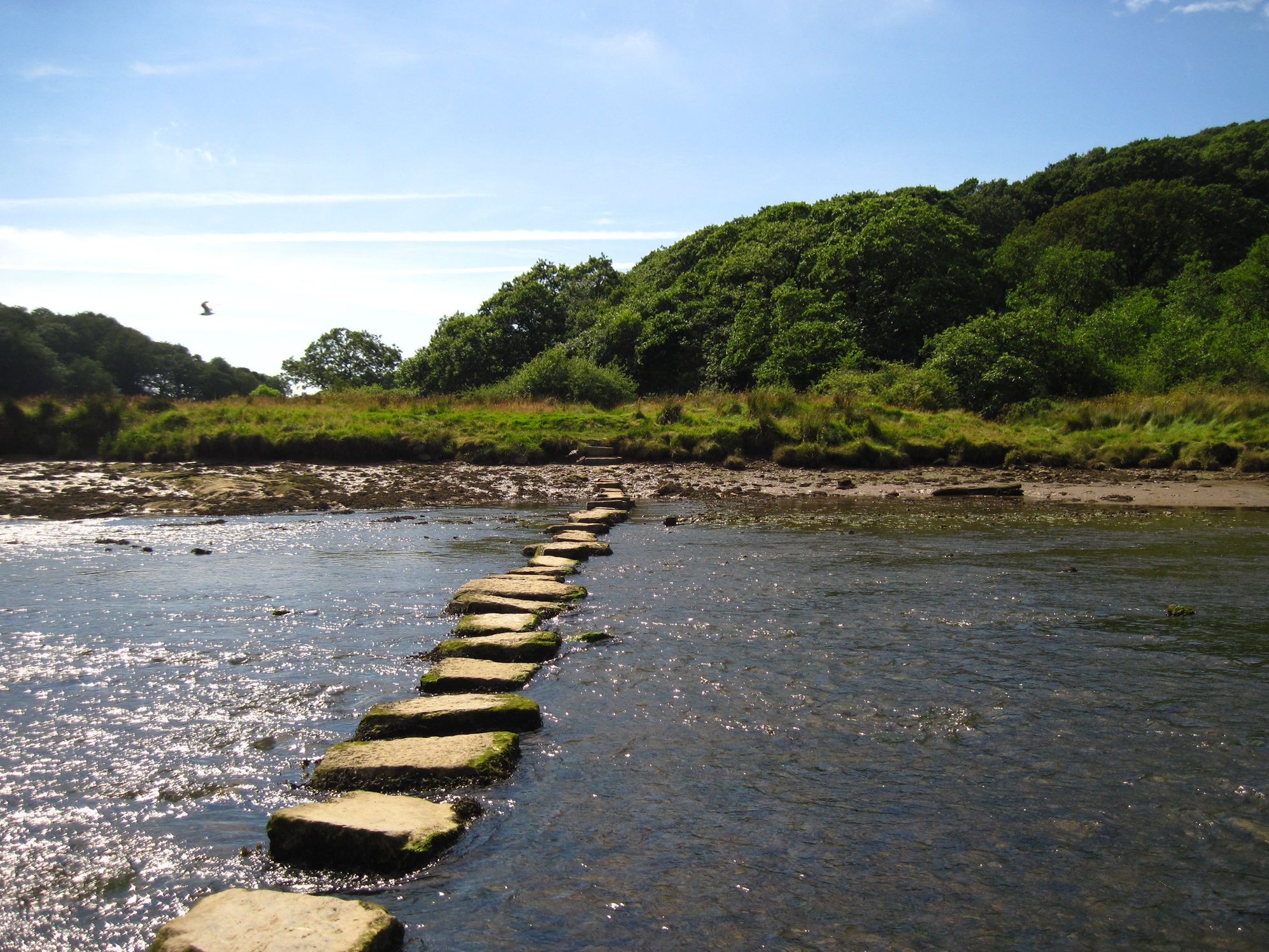
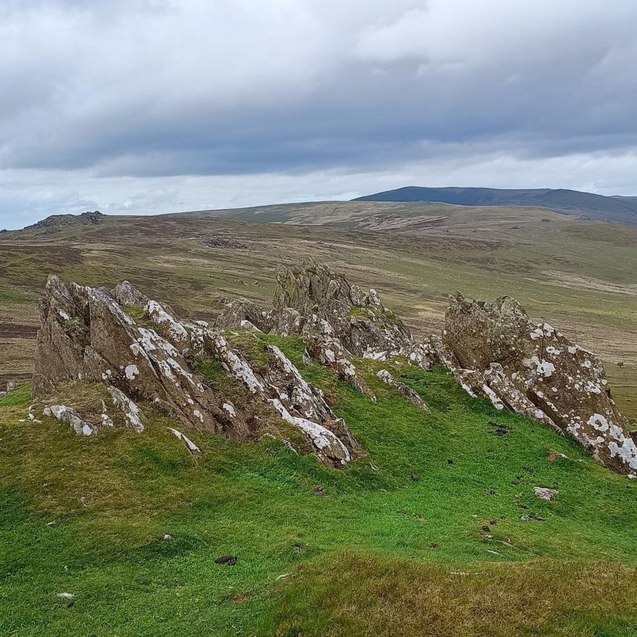
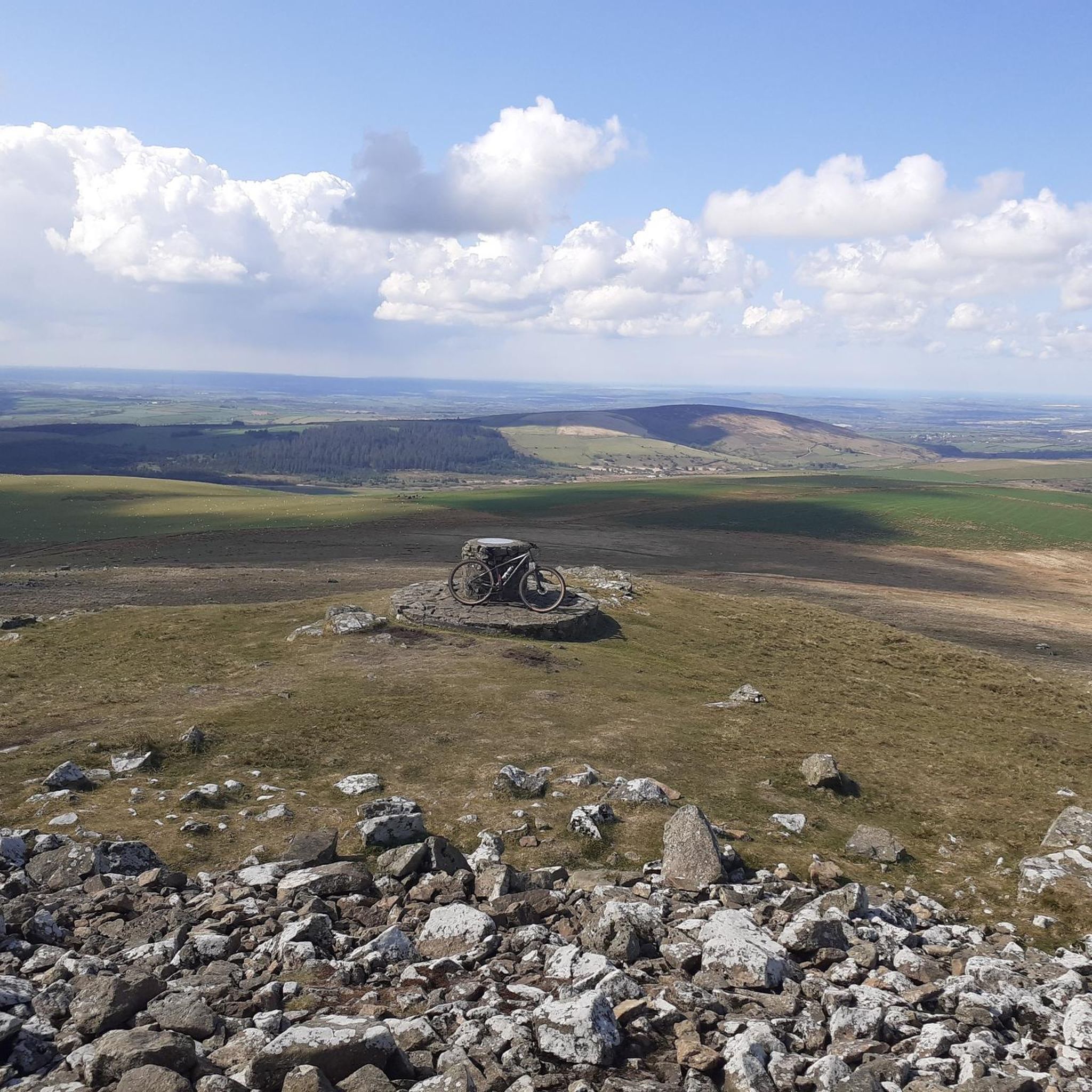

Other adventures around Cilymaenllwyd

Tips from the Community


This Neolithic Cromlech is just outside the small village of Llanglyydwen, west Carmarthenshire near the upper reaches of the river Taf. It dates from around 4000 B.C and consists of a 13ft capstone supported by four uprights with an opening facing the river below. The literal translation of its Welsh name means 'Lair of the grey hound bitch' but was more likely named after a 'Lair of Wolves'
0
0

Views all round, to the sea, Cardigan Bay, north and Milford Haven in south.
0
0

This pretty little chapel stands near the village of Mynachlog-ddu on the fringes of the Preseli Hills. From here, you could hike to Carn Menyn, Carn Siàn, Foel Drygarn and Foel Dyrch.
0
0

Foel Dyrch is a nice walk with good footpaths in the main. There is also parking on the A478, and it’s a decent 6-kilometre walk up to its summit and back. The summit is unmarked, but there is a stone sheepfold nearby. You have nice views out towards the coastline and eastwards, over the Preseli Mountains.
1
0

Please wear appropriate footwear as this area is extremely BOGGY.
1
0
Frequently Asked Questions
What types of landscapes can I expect to see while hiking around Cilymaenllwyd?
Cilymaenllwyd, located within Carmarthenshire, offers a remarkably diverse range of landscapes. You can explore wild mountainous areas, tranquil woodlands, and extensive coastal paths. The region features dramatic mountain scenery, river valleys, estuaries, and numerous lakes and other water bodies, providing a wide spectrum of hiking experiences.
Are there hiking trails suitable for beginners or those looking for an easy walk?
Yes, Cilymaenllwyd offers a good selection of easier trails. Out of approximately 66 routes, 29 are rated as easy. An example of a gentle walk is the Gwal y Filiast Dolmen – Gors Fawr Dolmen loop from Llanglydwen, which is about 4.1 km long.
What kind of historical or natural landmarks can I discover on hikes in the area?
The region is rich in both natural and historical landmarks. You can encounter ancient sites like the Bedd Arthur Stone Circle, or enjoy panoramic views from summits such as Foel Cwmcerwyn summit and Foel Eryr Summit Cairn. Other notable features include the Foel Drygarn Hillfort and Cairns and the Pentre Ifan Dolmen.
Are there any circular hiking routes available in Cilymaenllwyd?
Yes, there are several circular routes. For instance, the Foel Feddau summit – Foel Cwmcerwyn summit loop from Mynachlogddu is a moderate 9.6-mile trail that takes you through mountainous terrain. Another option is the Carn Gyfrwy – Bedd Arthur Stone Circle loop from Mynachlogddu, covering about 13 km.
What do other hikers say about the trails around Cilymaenllwyd?
The hiking routes in Cilymaenllwyd are highly regarded by the komoot community, holding an average rating of 4.5 stars from over 150 reviews. Hikers often praise the diverse topography, extensive coastal paths, and tranquil woodlands that define the area.
Are there any trails that offer views of the Pembrokeshire Coast National Park?
Absolutely. Several routes provide stunning views into the Pembrokeshire Coast National Park. You can explore trails like Mynydd Preseli — Parc Cenedlaethol Arfordir Penfro / Pembrokeshire Coast National Park or Foel Dyrch — Parc Cenedlaethol Arfordir Penfro / Pembrokeshire Coast National Park, both offering varied terrain and scenery within the park.
Can I find trails with water features like lakes or waterfalls?
Yes, the region is dotted with numerous lakes and other water bodies. Hikers can find opportunities for picturesque waterfall walks, such as those in Cwm Rhaeadr, and explore high-altitude lakes like Llyn y Fan Fach and Llyn y Fan Fawr within the Bannau Brycheiniog (Brecon Beacons).
Are there any trails suitable for families with children?
Carmarthenshire, where Cilymaenllwyd is located, prides itself on offering trails catering to different abilities, including families. Many paths within Carmel Woods Nature Reserve and Llyn Lech Owain country park are suitable for buggies. The Millennium Coastal Path, linking Burry Port and Llanelli, is particularly well-suited for families due to its wide and flat surface.
What is the overall difficulty level of hiking trails in Cilymaenllwyd?
The trails around Cilymaenllwyd cater to a range of abilities. Out of approximately 66 routes, you'll find 29 easy trails, 34 moderate, and 3 difficult options. This means you can choose anything from gentle strolls to more challenging ascents through mountainous terrain.
Are there any coastal hiking opportunities near Cilymaenllwyd?
Yes, the Wales Coast Path traverses approximately 27 miles (43 km) of the Carmarthenshire coastline, stretching from Amroth to Llanelli. This path offers diverse habitats, including sand dunes, salt marshes, pine forests, and beaches. Popular sections, such as Amroth to Pendine, provide spectacular clifftop views.
What are some notable viewpoints or scenic spots along the hiking routes?
Hikers can enjoy expansive vistas from various points. The 'Fans walks' within the Bannau Brycheiniog (Brecon Beacons) offer dramatic mountain scenery and far-reaching views. Coastal paths provide spectacular clifftop views, and certain routes deliver broad views of the Loughor Estuary and the scenic Gower peninsula.
How many hiking routes are available in the Cilymaenllwyd area?
There are approximately 66 hiking routes available around Cilymaenllwyd, offering a wide variety of experiences for different skill levels and preferences.
Most popular attractions around Cilymaenllwyd

Get inspired with the komoot mobile app


Explore more
Browse the best Hikes in other regions.
