The 20 Most Amazing Peaks around Schöllkrippener Forst
Best mountain peaks around Schöllkrippener Forst are found within an unincorporated forest area in the northern Spessart region of Bavaria, Germany. This region is characterized by wooded hills rather than towering alpine peaks, offering elevated terrain for recreation. The area provides natural landscapes and extensive networks of hiking trails. Visitors are drawn to its dense forests and serene environment for experiencing nature.
Best mountain peaks around Schöllkrippener Forst
- The most popular mountain peaks is Horst Summit (541 m), a…
Last updated: July 7, 2026
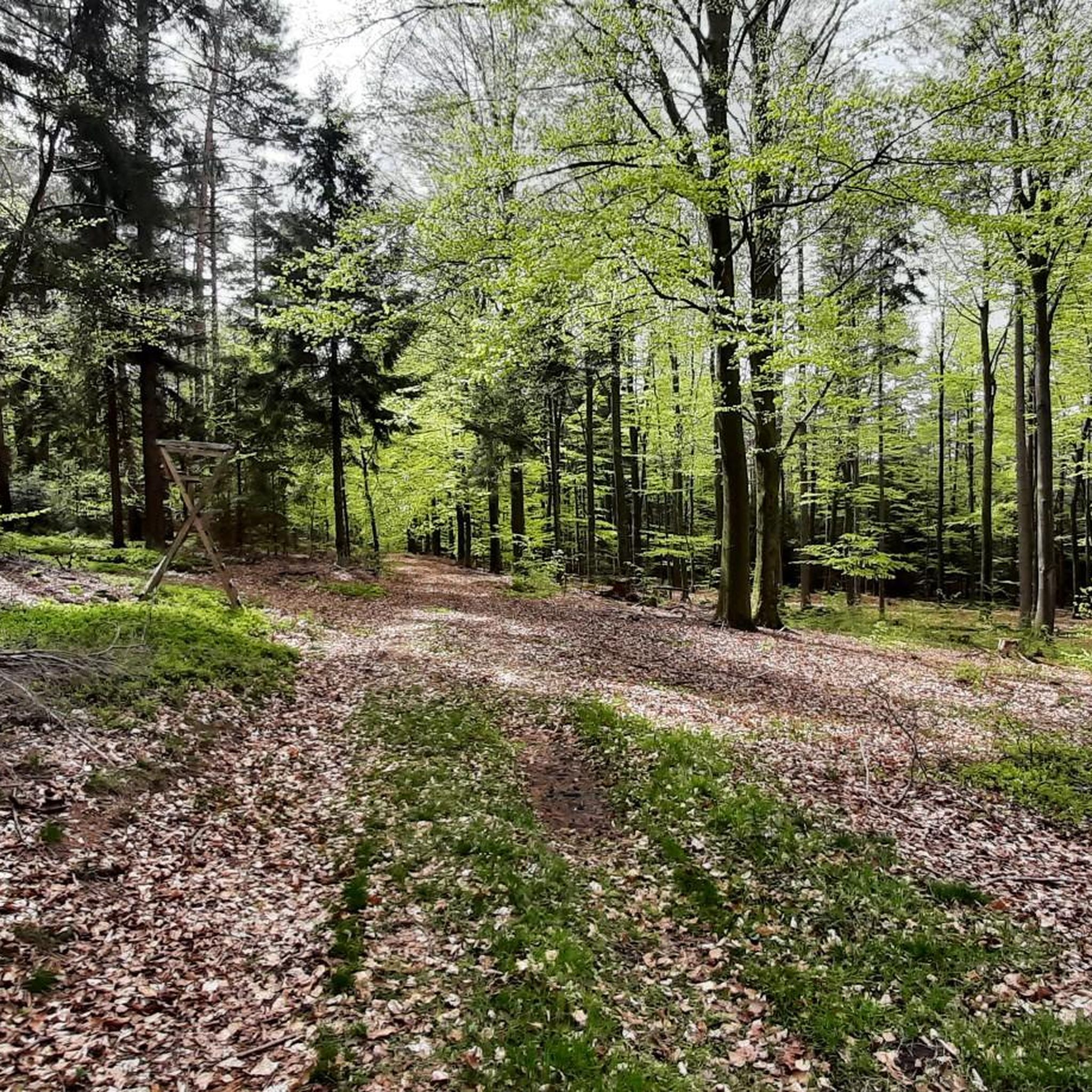
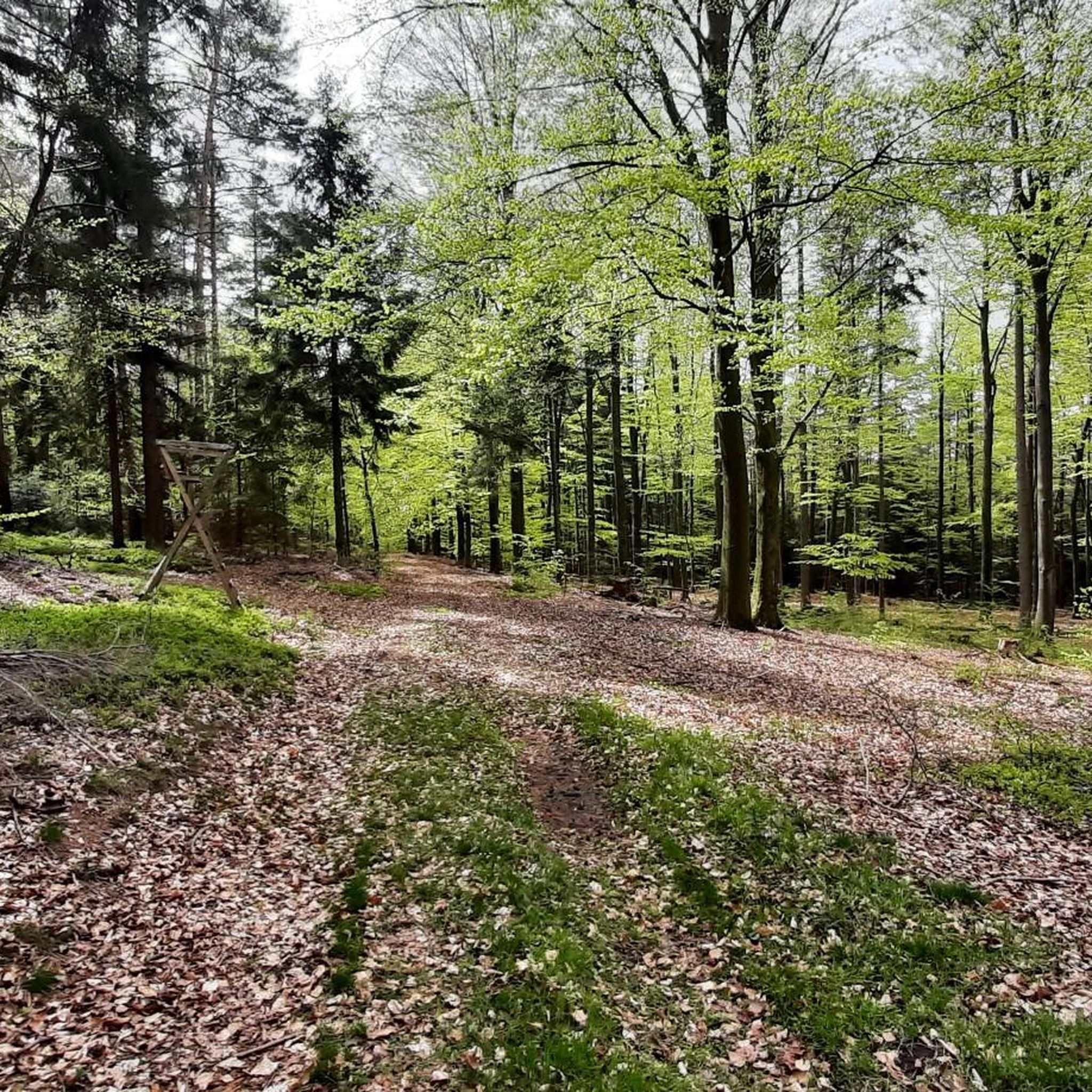
Hufeisen Forest Junction
Highlight • Forest
From here it goes in all possible directions
Translated by Google •
Tip by

Beilstein Trail
Highlight • Trail
Showing Translation
Tip by

Sign up now to discover places like this
Get recommendations on the best single tracks, peaks, & plenty of other exciting outdoor places.
Sign up for free
Franzosenkopf (481 m)
Highlight • Summit
Translated by Google •
Tip by
Horst Summit (541 m)
Highlight • Summit
Translated by Google •
Tip by

Steinknückl Summit
Highlight • Summit
Translated by Google •
Tip by

Sign up for free to discover even more peaks around Schöllkrippener Forst.
Sign up for free
Already have an account?
Start today with a free account
Your next adventure awaits.
Login or Signup
Tips from the Community

From Steiger, the climb is quite steep. If you want to sign the summit register, you have to climb up.
2
0

 Steinknückl Mountain in the Spessart in Bavaria The Steinknückl, also known as the Steinknückel, is a 417-metre-high hill in the Spessart.[1] The wooded mountain is located in the Bavarian district of Aschaffenburg, directly on hiking trail 31 of the Spessart Association. It is located in the Weilerwald forest, about 1.7 km south of Laufach and about 2 km north of Waldaschaff. The Steinknückl is known for its strikingly tall holm oaks on the summit, which give it its name. Since there is a summit book on the top of the mountain, it is a popular destination for hikers and mountain bikers.
1
0

In any case, go up to the rock and enjoy the distant view from Beilstein!🤩 Playful trail.😊 Increasingly overgrown towards the end - "enchanted character"😉
5
1

A small sign, placed a little off to the side, still exists. As of today
12
0
And yet quite easy to reach, pure nature included.
14
0

The good Horst is after all the highest elevation in the northern Spessart. Thanks to a path of forestry work, there is even a view to the east. Otherwise, in addition to two radio towers, there is one thing above all: peace!
5
0

The Beilstein is a mountain in the Spessart, 499.5 m above sea level (NHN). It lies east of the road from Bad Orb to Jossatal, between Villbach and Lettgenbrunn, within the municipality of Jossgrund in the Main-Kinzig district of Hesse. The Beilstein is a basalt cone with the largest basalt cave in the Main-Kinzig district. The formation originated 10 to 20 million years ago through volcanic eruptions; the surrounding Bunter sandstone, which otherwise characterizes the Spessart, is around 200 million years older. The basalt breakthrough was exposed by erosion; the rock faces show the typical basalt columns as well as smaller, spherical formations. On the mountain, first documented in 1059, are the remains of the small, high medieval hilltop castle Beilstein. It was built to protect the possessions of the Archbishopric of Mainz and to control an old road, and was first mentioned in 1343. Furthermore, it was intended to protect the first glassworks that were established. When the lordship passed to the Counts of Hanau, the castle presumably lost its importance and fell into ruin thereafter. Due to the scarce sources, little is known about the castle. Today, the complex consists only of a ring wall about 12 meters long. Source: Wikipedia
6
1

Very nice combo with the golf course trail and Don Bosco, so to speak the traily variant of the WAB towards Don Bosco. Very worthwhile dangling through the Beilstein (former castle) - it's worth walking around - continue on trails to Lettgenbrunn and again trailig from Lettgenbrunn back to the flow trail. You can also drive the other way around, but the circumnavigation is more suitable here. Be sure to climb the Beilstein - not for the view, but rather to get a feel for the facility.
5
0
Frequently Asked Questions
What are the most notable elevations in Schöllkrippener Forst?
The highest point within Schöllkrippener Forst is Spindelberg, reaching 520 meters. Another significant elevation is Reuschberg at 415 meters, known for its historical site, the former Burgstall Altenburg, and a small 'Felsenmeer' (sea of rocks) on its northeastern slope.
Which mountain peaks offer good views in the region?
For expansive views over the surrounding forested landscape, Horst Summit (541 m) is a great choice. Although it feels more like a hill, its elevation provides quiet natural surroundings and good vantage points. The Spindelberg, as the highest point, also likely offers broad views.
Are there any unique natural features to explore on the trails?
Yes, the Beilstein Trail features unusual basalt rock formations, making it a worthwhile detour. Additionally, the Reuschberg has a small 'Felsenmeer' (sea of rocks) on its northeastern slope, and the region is home to natural springs like the Kleinkahlquelle and renatured Kafloosquelle.
What kind of hiking experiences can I expect in Schöllkrippener Forst?
Schöllkrippener Forst offers an extensive network of hiking trails through wooded hills. You can find everything from easily accessible paths like those leading to Franzosenkopf (481 m), which provides a pure nature experience, to more challenging sections like parts of the Beilstein Trail with its steep inclines.
Are there family-friendly options for exploring the peaks?
Yes, the Steinknückl Summit is considered very suitable for children, partly due to its summit stone and the presence of a summit book. The Horst Summit (541 m) also offers a family-friendly environment with a wooden bench for breaks.
What do visitors enjoy most about the peaks around Schöllkrippener Forst?
Visitors appreciate the quiet natural surroundings and the opportunity to immerse themselves in nature. Many enjoy the good views from elevated points and the well-maintained trails. The presence of unique features like the basalt rocks on the Beilstein Trail and the summit book at Steinknückl Summit are also frequently highlighted.
What other outdoor activities are available near the mountain peaks?
Beyond hiking, the area around Schöllkrippener Forst is excellent for various cycling activities. You can find numerous road cycling routes, mountain biking trails, and gravel biking options. For detailed routes, explore the Road Cycling Routes around Schöllkrippener Forst, MTB Trails around Schöllkrippener Forst, and Gravel biking around Schöllkrippener Forst guides.
Are there any historical sites or points of interest related to the peaks?
Yes, the Reuschberg (415 m) was historically home to the Burgstall Altenburg, a medieval hilltop castle, though it is no longer preserved. This adds a touch of historical context to the natural landscape.
What is the best time of year to visit Schöllkrippener Forst for hiking?
The region is characterized by dense forests, making it appealing throughout the warmer months for hiking. Spring and autumn offer particularly beautiful scenery with blooming flora or vibrant fall colors. While specific winter hiking options are not detailed, the wooded hills provide a serene environment year-round.
Where can I find a good spot for a break or to start multiple trails?
The Hufeisen Forest Junction is an excellent spot. It's described as a 'totally nice place' and a 'nice break area with plenty of seating,' from where trails branch out in many directions, making it a great starting point or resting stop.
How accessible are the peaks for different fitness levels?
The peaks and trails in Schöllkrippener Forst cater to various fitness levels. While some paths like the Beilstein Trail can be steep and challenging, many other routes, such as those leading to Franzosenkopf (481 m), are described as 'quite easy to reach' and offer a natural experience without extreme difficulty.
Most popular routes around Schöllkrippener Forst
Most popular attractions around Schöllkrippener Forst

Get inspired with the komoot mobile app


Explore more
See even more amazing summits around Schöllkrippener Forst with these guides:
