The best road cycling routes around Schöllkrippener Forst
4.7
(378)
5,017
riders
120
rides
Road cycling routes around Schöllkrippener Forst traverse a contiguous forest area in the northern Bavarian Spessart, offering diverse landscapes. The region is characterized by dense, expansive forests and varied topography, providing a mix of challenging ascents and more relaxed stretches. Many routes feature mostly paved surfaces, making them suitable for road bikes. This environment offers a tranquil setting for cyclists seeking both demanding rides and leisurely exploration.
Best road cycling routes around Schöllkrippener Forst
- The most popular road cycling route…
Last updated: July 1, 2026
4.3
(8)
99
riders
75.7km
03:48
1,230m
1,230m
Hard road ride. Very good fitness required. Mostly well-paved surfaces and easy to ride.
4.9
(15)
98
riders
42.8km
02:07
660m
660m
Moderate road ride. Good fitness required. Some segments of this route may be unpaved and difficult to ride.

Sign up for free
5.0
(1)
78
riders
53.7km
02:29
630m
630m
Moderate road ride. Good fitness required. Mostly well-paved surfaces and easy to ride.
5.0
(2)
63
riders
Hard road ride. Very good fitness required. Mostly well-paved surfaces and easy to ride.
4.4
(5)
69
riders
48.6km
02:16
620m
620m
Moderate road ride. Good fitness required. Mostly well-paved surfaces and easy to ride.
Get access to more routes and recommendations from other explorers.
Sign up for free
Already have an account?
Our route recommendations are based on thousands of hikes, rides, and runs completed by other people on komoot.
Start today with a free account
Your next adventure awaits.
Login or Signup
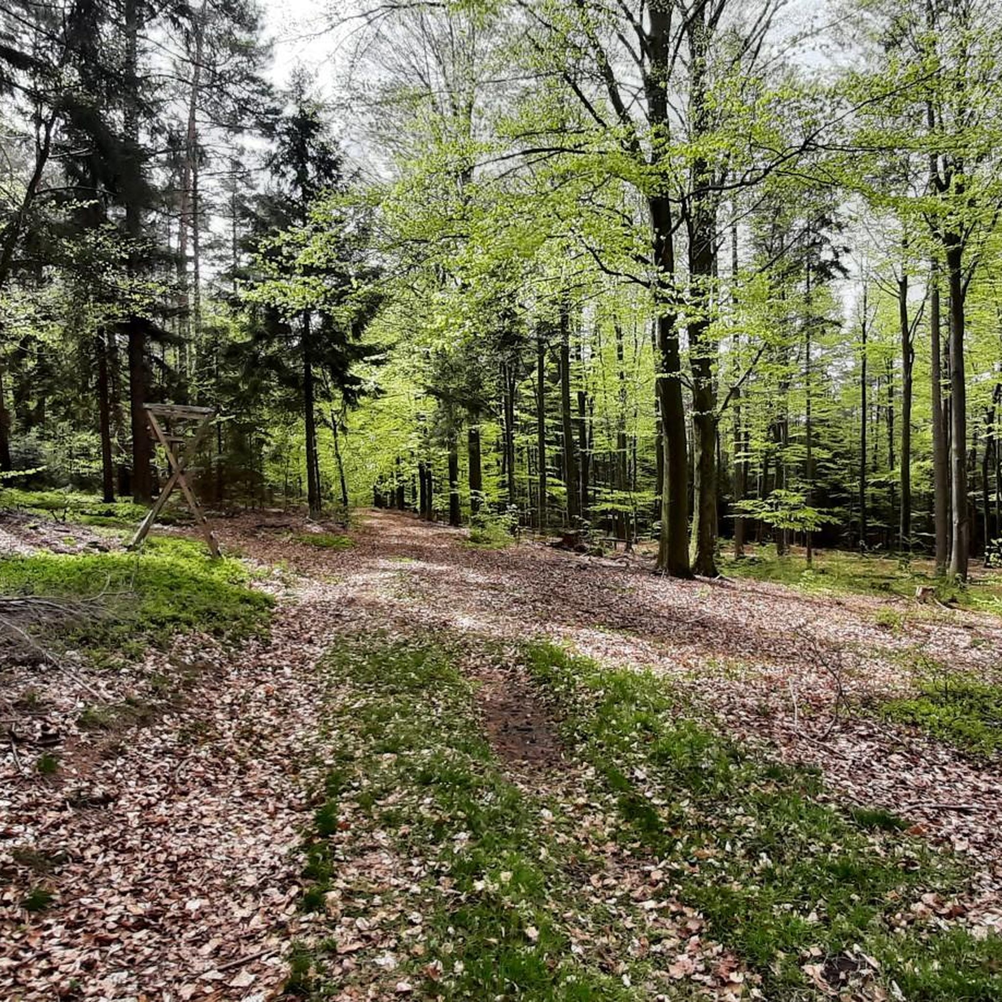
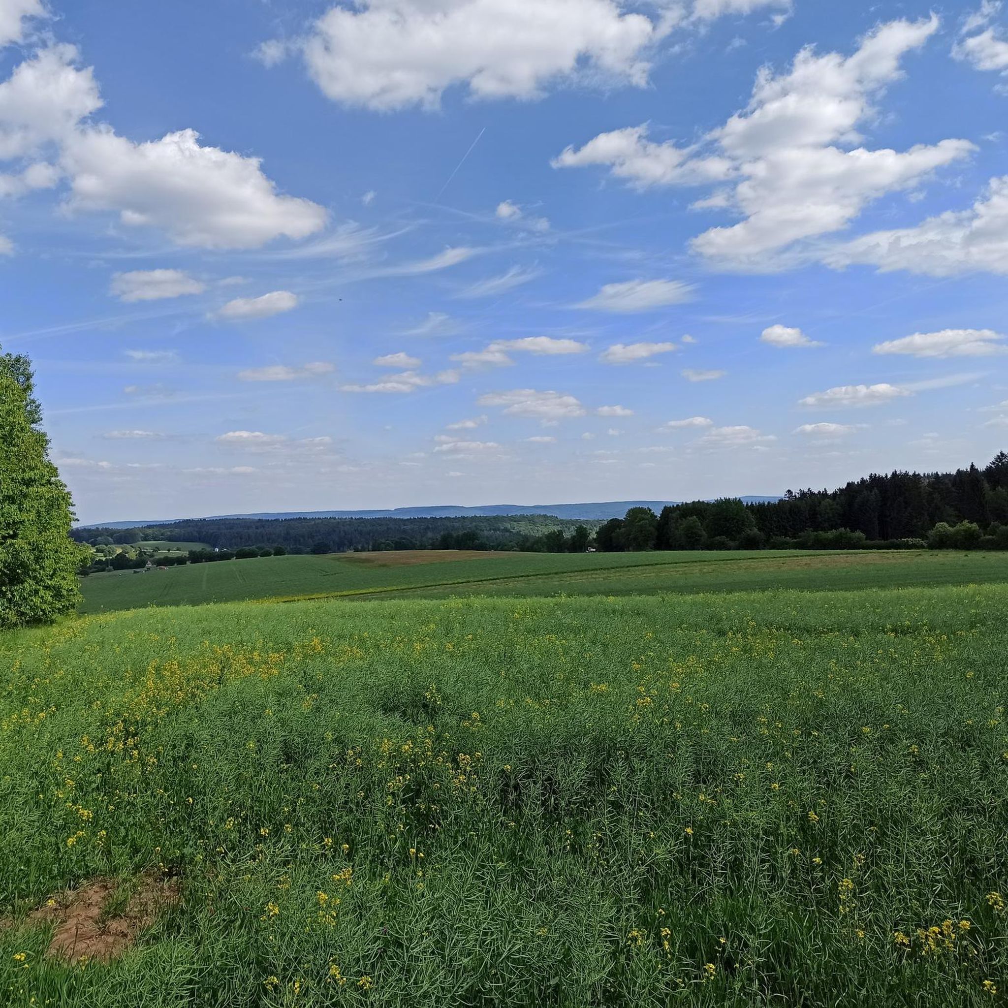
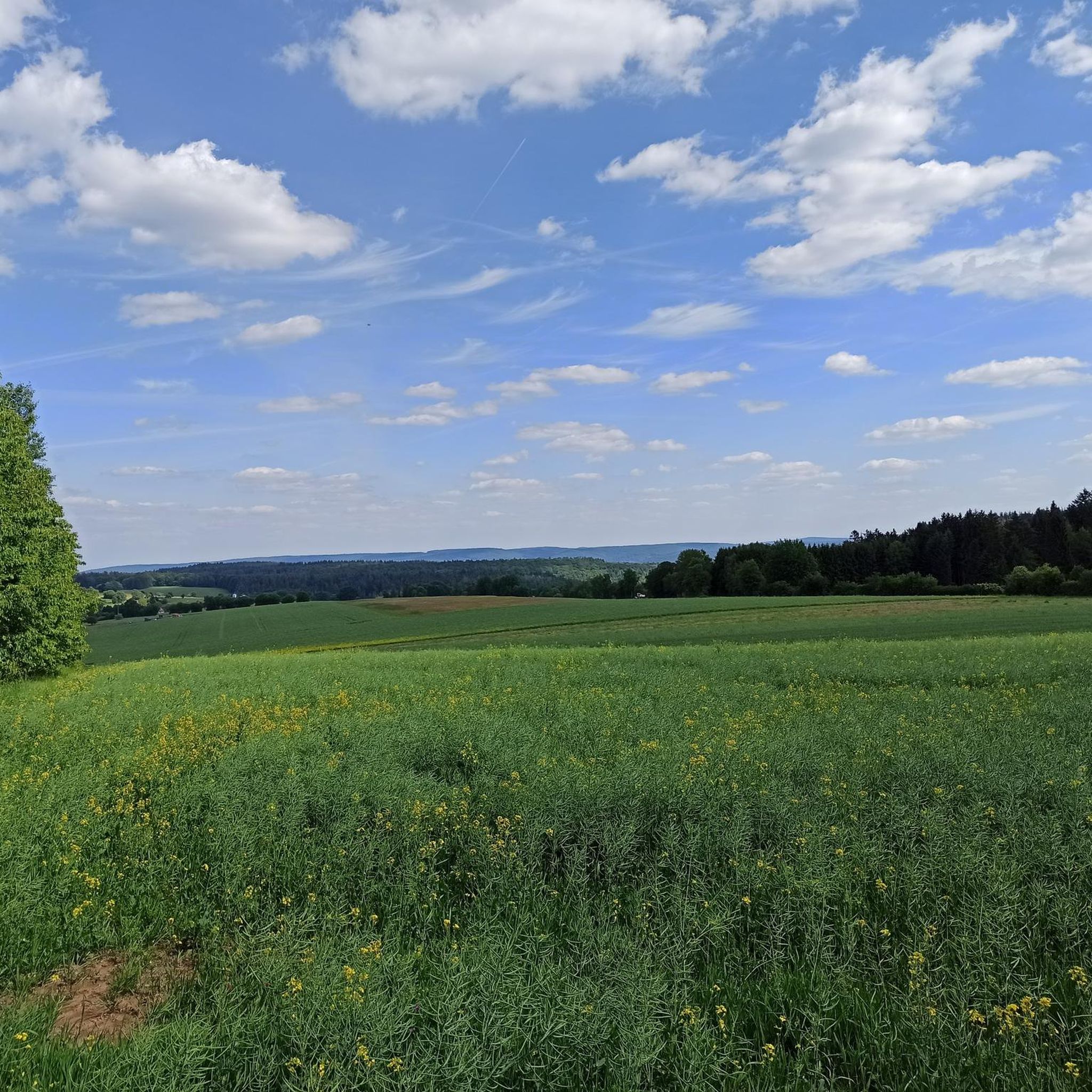
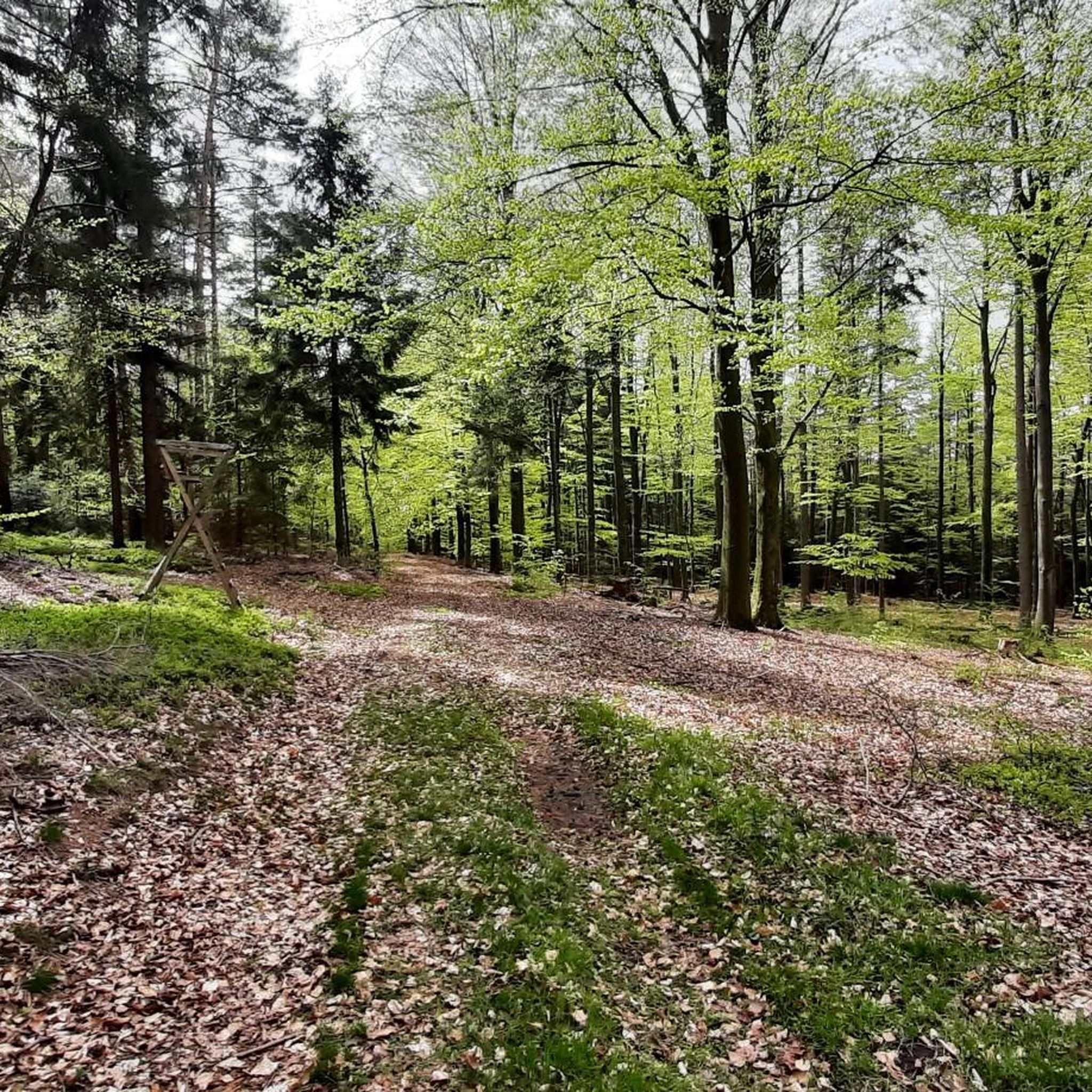
Tips from the Community

On nice weather days, many motorcyclists are out and about
0
0
A new cycle path is being built here.
0
0
Wonderful view under a bright blue sky.
0
0
Here it goes down to Blankenbach.
0
0
At the ski lift of Jakobstal.
0
0
No drinking water. The helicopter 🚁 is around the corner.
0
0
This was the route used to go up around the Hahnenkamm.
0
0
In winter, it's a good place to drive up to the Englishman's.
0
0
Frequently Asked Questions
How many road cycling routes are available in Schöllkrippener Forst?
There are over 120 road cycling routes in Schöllkrippener Forst, offering a wide array of options for various skill levels. The komoot community has explored these routes over 4000 times, giving them an average rating of 4.7 stars.
What kind of terrain can I expect on road cycling routes in Schöllkrippener Forst?
The region is characterized by dense, expansive forests and varied topography. You can expect a mix of challenging ascents and more relaxed stretches, with many routes featuring mostly paved surfaces suitable for road bikes. This provides a tranquil setting for cyclists seeking both demanding rides and leisurely exploration.
Are there road cycling routes suitable for beginners or families in Schöllkrippener Forst?
Yes, Schöllkrippener Forst offers options for all abilities. While there are 24 difficult routes, there are 14 easy routes and 82 moderate routes. Some paths, particularly those along the Kahl river, are known to be easy to navigate and suitable for families, often with opportunities for refreshments.
What natural features or landmarks can I see along the road cycling routes?
The region is rich in natural beauty and historical sites. You might encounter natural monuments, caves, springs, and distinctive rock formations. For panoramic views, consider routes that pass by the Dr. Karl Kihn-Platz Rest Area, a historically significant stop, or the Aussichtsturm Rodfeldturm, which offers extensive views as far as the Taunus mountains.
Are there any challenging road cycling routes for experienced cyclists?
Absolutely. Schöllkrippener Forst features 24 difficult routes with significant elevation gains, requiring very good fitness. An example is the Forest Inn "Zum Engländer" – Hafenlohrtal Nature Reserve loop from Schöllkrippen, a 74 km trail with over 1200 meters of elevation gain through forested terrain.
Where can I find places to rest or get refreshments along the routes?
Several routes pass by convenient rest areas and inns. The Dr. Karl Kihn-Platz Rest Area is a spacious and historically significant stop. You might also find the Forest Inn "Zum Engländer" or the Fischereihütte Inn Beer Garden along your ride, offering opportunities for refreshments.
Are there any loop routes for road cycling in Schöllkrippener Forst?
Yes, many of the road cycling routes in Schöllkrippener Forst are designed as loops. For instance, the popular Climb to Engländer – Waldhaus Zum Engländer loop from Schöllkrippen is a moderate 42.7 km path that includes a notable climb and offers views of the surrounding Spessart forest.
What do other road cyclists enjoy most about road cycling in Schöllkrippener Forst?
The area is highly rated by the komoot community, with an average score of 4.7 stars from over 300 reviews. Reviewers often praise the tranquil environment, the diverse landscapes, and the mix of challenging ascents and relaxed stretches through the dense forests.
Can I find routes that offer views of the surrounding area?
Yes, several routes provide scenic viewpoints. For example, the Michelbach Castle – View of Kahlgrund loop from Schöllkrippen offers views of the Kahlgrund. Additionally, the Aussichtsturm Rodfeldturm is a prominent observation tower providing extensive panoramic views, which can be incorporated into your route.
Are there any routes that pass by lakes or water features?
While the region is primarily forested, there are nearby lakes that can be part of a longer ride or visited separately. Highlights include Wiesbüttsee, Middle Aubachsee, and Sterzenbach Pond, offering serene spots to pause and enjoy the scenery.
What is a good moderate route for road cycling in the area?
A popular moderate option is the Descent to Hohl – Hohler Buckel Ascent loop from Schöllkrippen. This 53.8 km trail leads through varied forest landscapes and is often completed in about 2 hours 30 minutes, offering a balanced ride with some elevation.
Are there any routes that feature notable climbs?
Yes, the varied topography of Schöllkrippener Forst includes several notable climbs. The Engländer Climb (Spessart Nature Park) – Climb to Engländer loop from Schöllkrippen is a challenging 56.3 km route with nearly 950 meters of elevation gain, perfect for those looking for a significant ascent.
Most popular routes around Schöllkrippener Forst
Most popular attractions around Schöllkrippener Forst

Get inspired with the komoot mobile app


Explore more
Browse the best Road cycling routes in other regions.
