The 14 Most Amazing Peaks around Gwernaffield and Pantymwyn
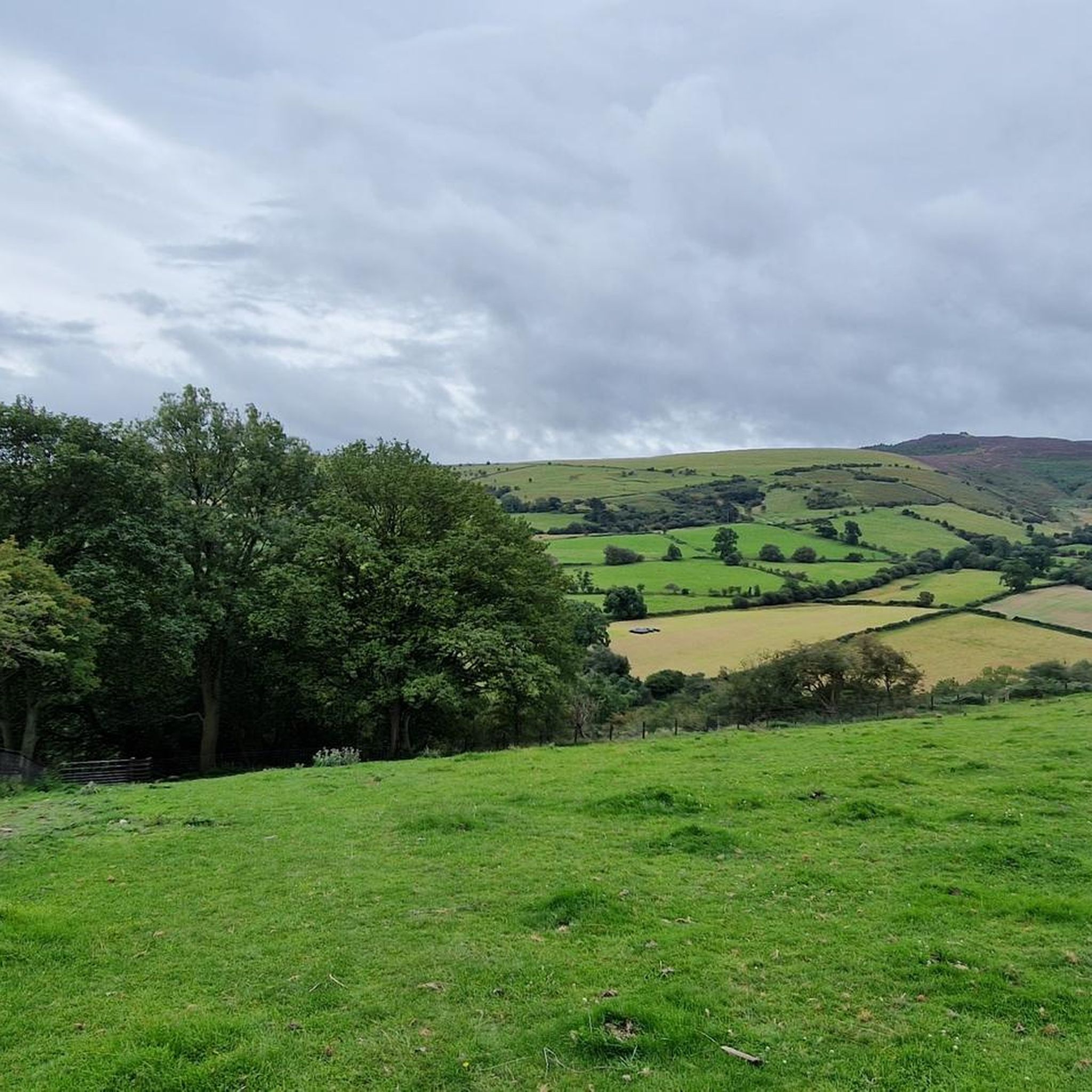
Best mountain peaks around Gwernaffield and Pantymwyn are situated within the Clwydian Range, a Designated Area of Outstanding Natural Beauty. This region is characterized by its limestone landscape, featuring crags, caves, and flower-strewn meadows. The area offers access to several notable mountain peaks known for their historical significance and panoramic views. These peaks provide diverse outdoor recreational opportunities for visitors.
Best mountain peaks around Gwernaffield and Pantymwyn
- The most popular mountain peaks is Jubilee Tower on Moel Famau, a…
Last updated: May 22, 2026
Jubilee Tower on Moel Famau
Highlight • Monument
Tip by

Moel Arthur
Highlight • Viewpoint
Tip by

Sign up now to discover places like this
Get recommendations on the best single tracks, peaks, & plenty of other exciting outdoor places.
Sign up for free
Moel Gyw Summit
Highlight • Viewpoint
Tip by

Offa's Dyke Path to Moel Famau
Highlight • Summit
Tip by

Foel Fenlli Summit and Cairn
Highlight • Viewpoint
Tip by
Sign up for free to discover even more peaks around Gwernaffield and Pantymwyn.
Sign up for free
Already have an account?
Start today with a free account
Your next adventure awaits.
Login or Signup
Popular around Gwernaffield and Pantymwyn
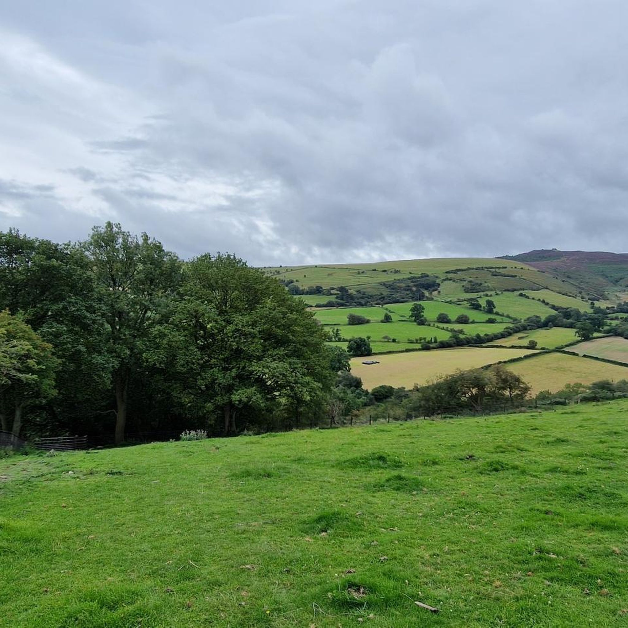
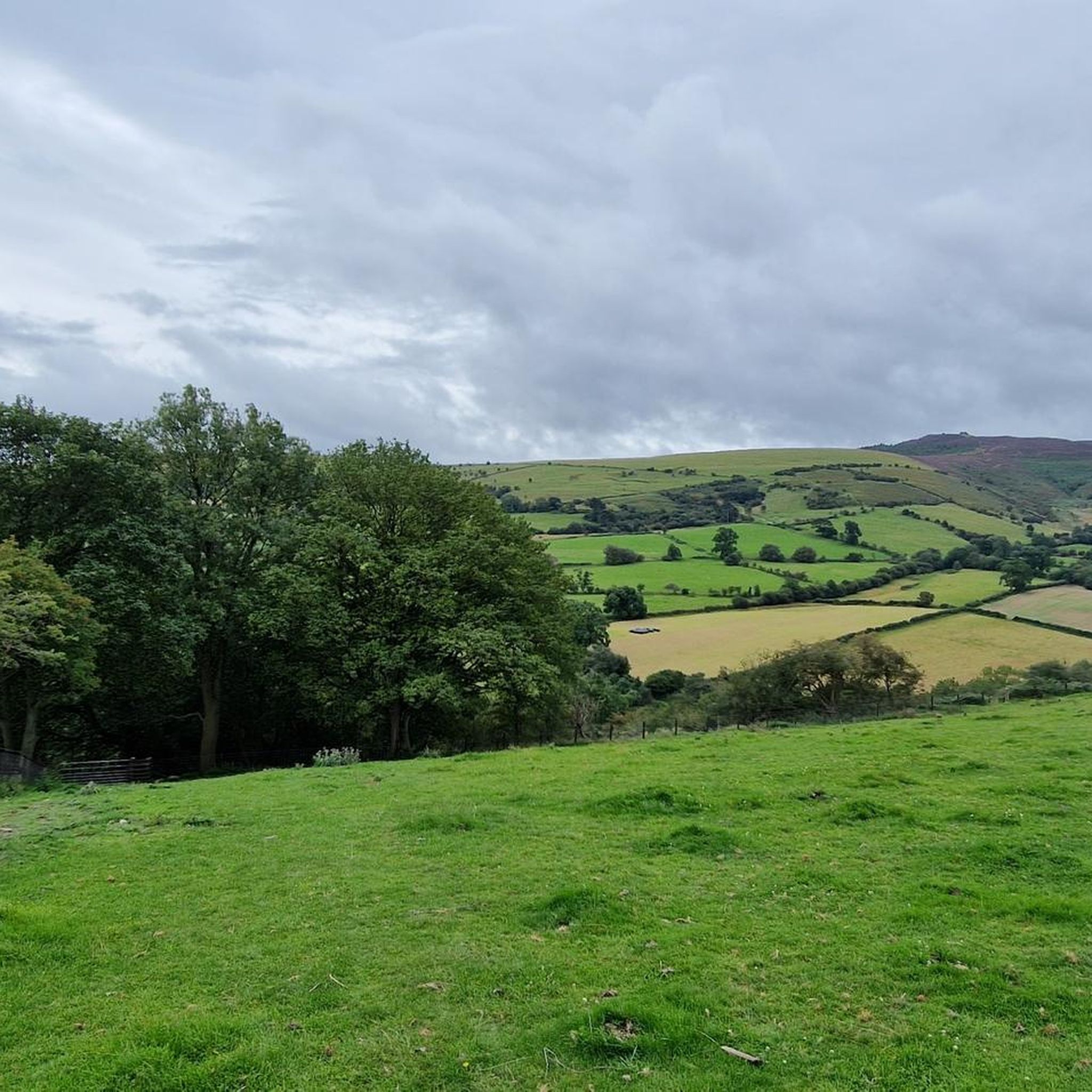
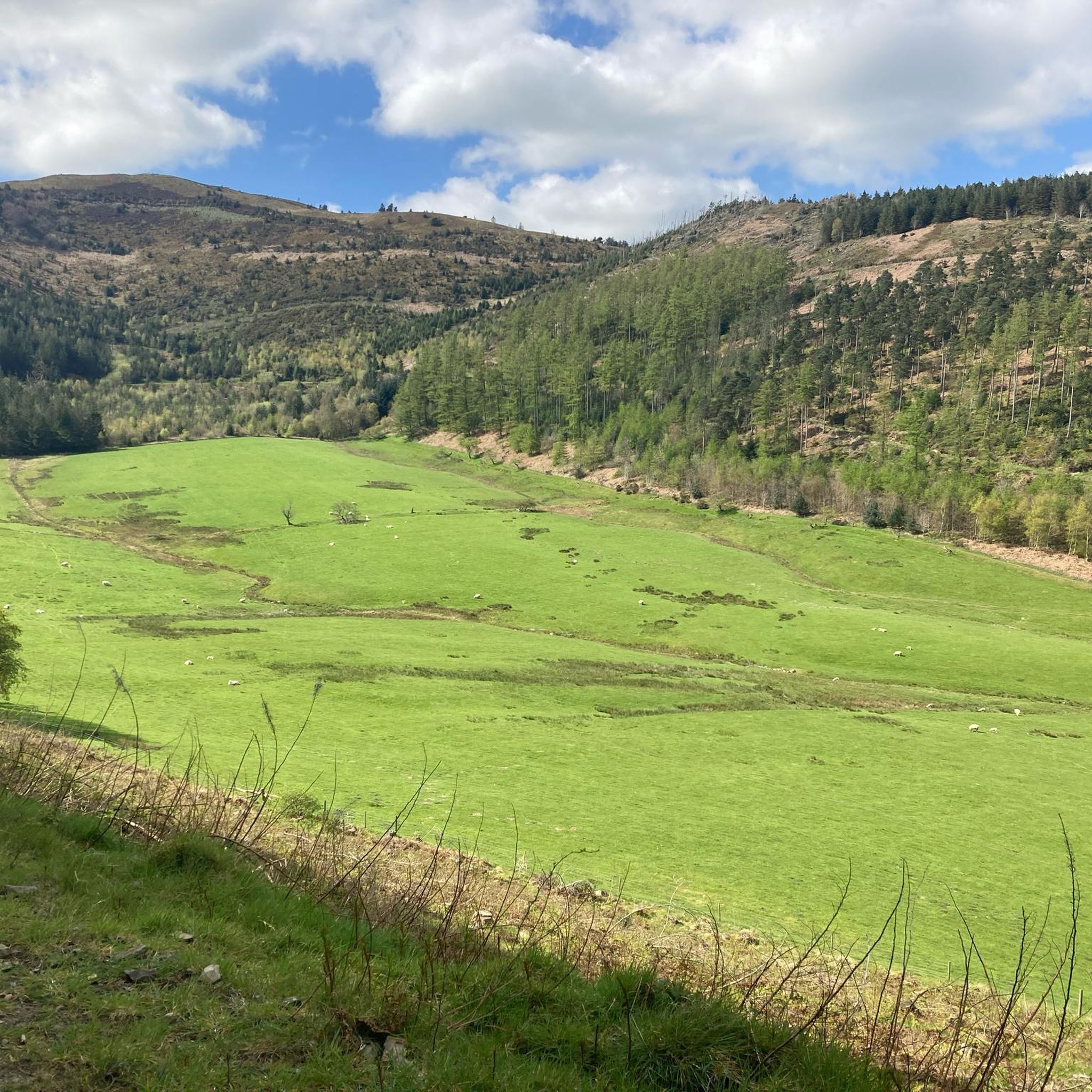

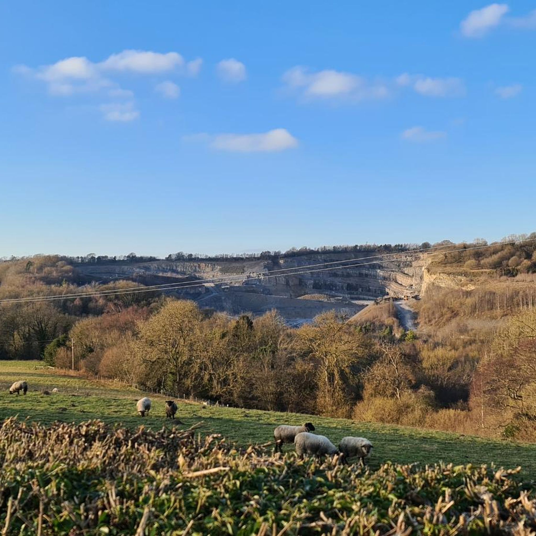
Tips from the Community

handy car park for the climb up moel Arthur and to walk a piece of the offas dyke path
1
0

Like all hills the weather can turn in an instant take sturdy foot wear and a waterproof jacket :)
1
0

A really interesting monument and not at all how you think it will be when you see it from a distance
1
0

Car park on either side of Moel Arthur if it's a shorter walk your looking for
3
1

Can get very windy up here and area is mostly exposed - very easy to get caught out by the weather, always worth carrying a rain coat or wind jacket with you to stay warm.
1
0
Great little hike up to Jubilee Tower. The Offa’s Dyke Marathon also runs past this tower !!
1
0

Great views over the surrounding areas! Nice easy path up to Moel Famau.
0
0
Frequently Asked Questions
What historical sites can I explore on the mountain peaks around Gwernaffield and Pantymwyn?
The region is rich in history. You can visit the Grade II-listed remains of the Jubilee Tower on Jubilee Tower on Moel Famau, built in 1810. Additionally, Moel Arthur and Foel Fenlli Summit and Cairn both feature the remains of Iron Age hillforts at their summits, offering a glimpse into the region's ancient past.
Which mountain peaks offer the best panoramic views in the Clwydian Range?
Jubilee Tower on Moel Famau, as the highest hill in the Clwydian Range, provides spectacular panoramic views stretching across the Vale of Clwyd to Snowdonia and the English border. Foel Fenlli Summit and Cairn also offers fantastic views into Wales and England, as well as over the surrounding hills.
Are there family-friendly mountain walks in the Gwernaffield and Pantymwyn area?
Yes, the area offers options suitable for families. The path leading up to Offa's Dyke Path to Moel Famau is described as a 'nice easy path' and is categorized as family-friendly. Generally, the Clwydian Range has routes for various fitness levels, allowing you to choose shorter or longer walks.
Where can I find parking for walks to the mountain peaks?
For Moel Arthur, there is a small car park conveniently located nearby, making it easily accessible. For Jubilee Tower on Moel Famau, there are car parking spaces available, with options for both steeper and gentler routes from the car park.
What kind of natural features can I expect to see in the Clwydian Range around Gwernaffield and Pantymwyn?
The region is part of a Designated Area of Outstanding Natural Beauty, characterized by its limestone landscape. You can expect to see crags, caves, and flower-strewn meadows, all contributing to the scenic beauty. The peaks themselves offer diverse natural environments and stunning vistas.
What outdoor activities can I do near these mountain peaks besides hiking?
Beyond hiking, the area around Gwernaffield and Pantymwyn is popular for other outdoor sports. You can find numerous running trails, with options like the 'Leete Path – Loggerheads Country Park loop from Pantymwyn'. There are also MTB trails, including routes like 'Moel Famau Summit – View of Moel Famau loop from Loggerheads'.
Are there easy hiking trails available for beginners near Pantymwyn?
Yes, there are several easy hikes in the vicinity. Examples include the 'Leete Path – View of Moel Famau loop from Loggerheads' and the 'Devil's Gorge Cave Entrance loop from Pantymwyn', which are categorized as easy difficulty.
What is Moel Gyw and why is it worth visiting?
Moel Gyw Summit stands at 467 meters high and is listed as a UK Marilyn, meaning it has a relative height of at least 150 meters. While it doesn't have prominent historical structures like other peaks, it offers a rewarding climb for those looking to conquer another significant summit within the Clwydian Hills and enjoy the natural beauty and views typical of the range.
What do visitors enjoy most about the mountain peaks around Gwernaffield and Pantymwyn?
Visitors frequently highlight the spectacular views, the historical significance of sites like the Jubilee Tower and Iron Age hillforts, and the variety of paths available for different fitness levels. The area is appreciated for its natural beauty and the sense of accomplishment from reaching the summits.
Can I access the Offa's Dyke Path from any of these peaks?
Yes, Moel Arthur offers direct access to a section of the Offa's Dyke Path, a long-distance walking trail. This makes it an ideal starting point for those interested in longer hikes along this historic route.
How popular are the mountain peaks in this region with the komoot community?
The mountain peaks around Gwernaffield and Pantymwyn are highly regarded by the komoot community. They have received over 270 upvotes and more than 220 photos have been shared, indicating their popularity and the positive experiences of visitors.
Most popular routes around Gwernaffield and Pantymwyn
Most popular attractions around Gwernaffield and Pantymwyn

Get inspired with the komoot mobile app


Explore more
See even more amazing summits around Gwernaffield and Pantymwyn with these guides:
