The best road cycling routes around Gwernaffield and Pantymwyn
4.5
(73)
3,412
riders
208
rides
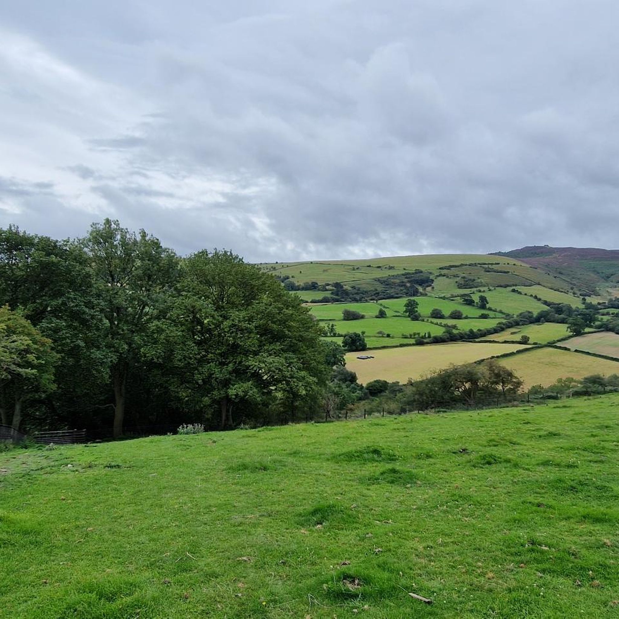
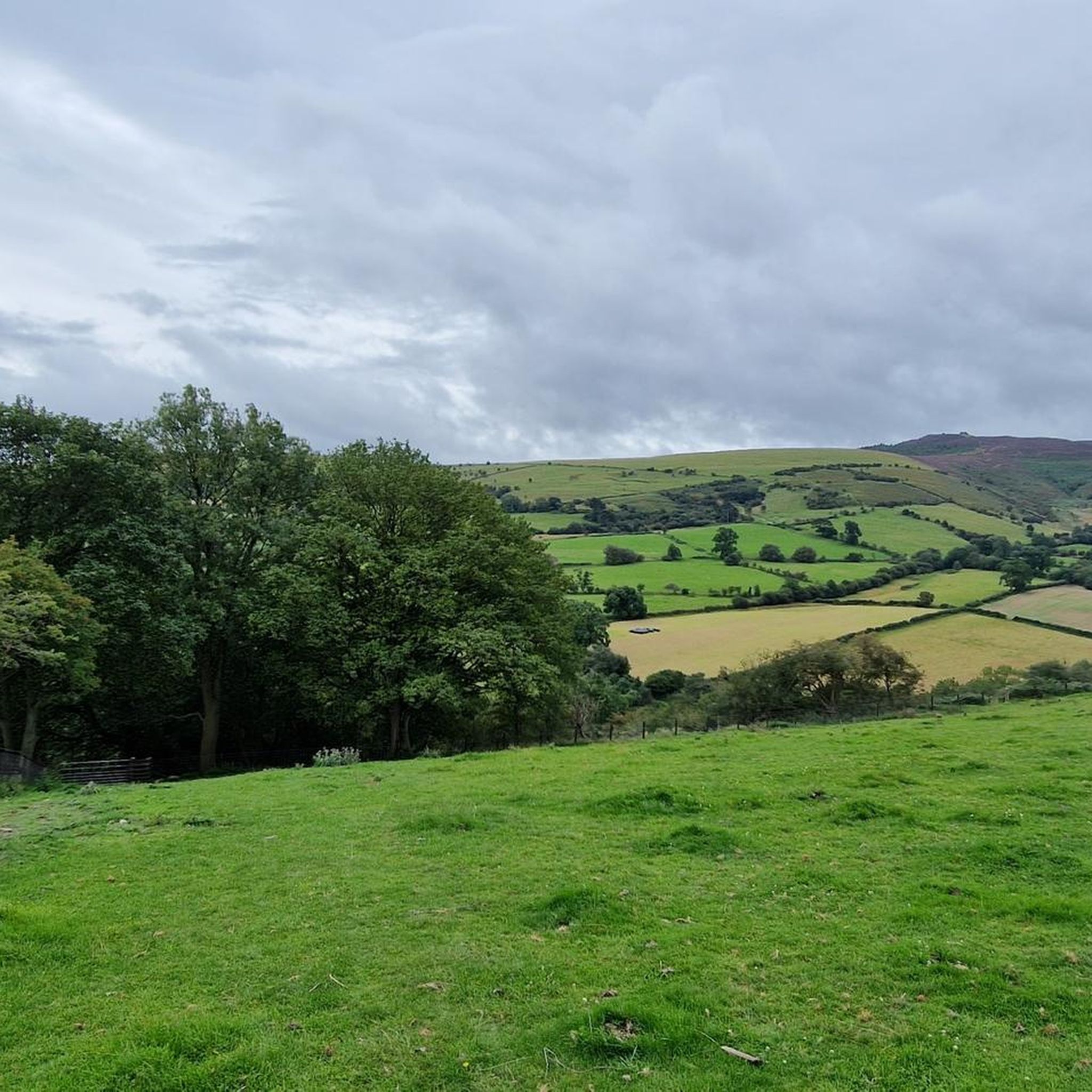
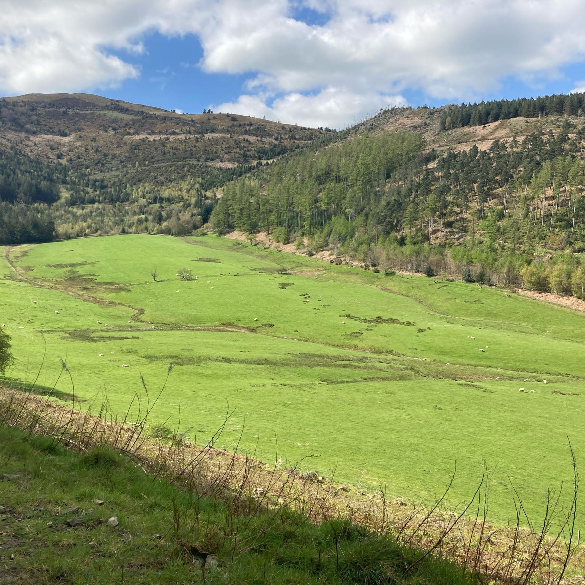
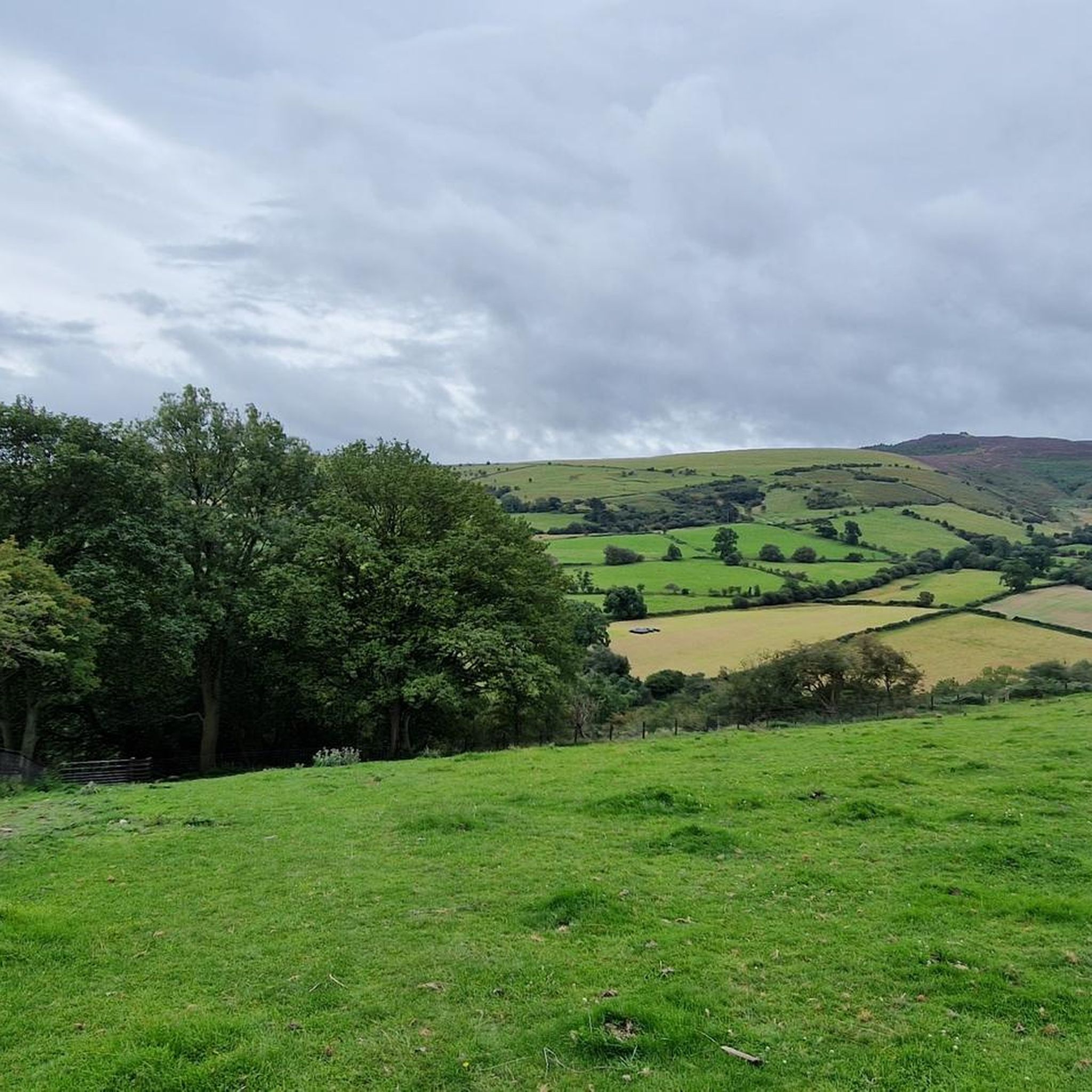
Road cycling routes around Gwernaffield and Pantymwyn traverse a varied landscape within the Clwydian Range and Dee Valley Area of Outstanding Natural Beauty. The terrain features rolling hills, moorland, limestone crags, and verdant valleys, providing diverse cycling experiences. Routes often follow river valleys, such as the River Dee and River Alyn, and include sections through woodlands and open countryside. This region offers a blend of challenging ascents and more moderate, scenic paths.
Best road cycling routes around Gwernaffield and Pantymwyn
…Last updated: May 24, 2026
44
riders
110km
06:09
2,030m
2,030m
Hard road ride. Very good fitness required. Mostly well-paved surfaces and easy to ride.
11
riders
25.4km
01:27
380m
380m
Moderate road ride. Good fitness required. Mostly well-paved surfaces and easy to ride.

Sign up for free
11
riders
Hard road ride. Very good fitness required. Mostly well-paved surfaces and easy to ride.
10
riders
56.2km
02:38
610m
600m
Moderate road ride. Good fitness required. Mostly well-paved surfaces and easy to ride.
10
riders
65.3km
04:02
1,320m
1,330m
Hard road ride. Very good fitness required. Mostly well-paved surfaces and easy to ride.
Get access to more routes and recommendations from other explorers.
Sign up for free
Already have an account?
Our route recommendations are based on thousands of hikes, rides, and runs completed by other people on komoot.
Start today with a free account
Your next adventure awaits.
Login or Signup

Tips from the Community

A lovely market town with pubs and shops and bakeries. Hilly routes into town but a number of good places for a stop mid ride.
0
0


The Grim offers a climb in the beautiful climb through the Denbighshire landscape. The quality of the road surface can vary a bit with debris from farm vehicles. It can be pretty windy too. Let's hope it's a tail wind as you will be tackling a total ascent of 278m with an average gradient of 7.3% over the 3.8km length. Around the 1km mark, you'll hit a steep ramp approaching 18%. Enjoy!
0
0

Smart small town with plenty of decent coffee shops, bakeries and ice cream shops. Classic Co-op too if needed. Lovely place to regroup before or after Horseshoe Pass.
0
0
Savage climb for which I’d recommend at least a 32t on rear. Oh and not doing it on a loaded bike😫 But what a view! And very few cars. Always a bonus. Relatively narrow tarmac. Bit gravelly nearer the bottom but gets smooth and dry once above the trees.
0
0


Llangollen is a town and community, situated on the River Dee, in Denbighshire, Wales. Its riverside location forms the edge of the Berwyn range, and the Dee Valley section of the Clwydian Range and Dee Valley Area of Outstanding Natural Beauty, with the easternmost point of the Dee Valley Way being within the town. It is a wonderful location to ride on all kinds of bikes with the canal running along Llangollen its much better to take that route as the roads are very busy.
5
1

Frequently Asked Questions
How many road cycling routes are available in Gwernaffield and Pantymwyn?
There are over 200 road cycling routes around Gwernaffield and Pantymwyn, offering a wide range of experiences for different skill levels. You'll find everything from easy, scenic rides to challenging climbs.
What kind of terrain can I expect on road cycling routes in this region?
The region offers diverse terrain, characterized by rolling hills, moorland, limestone crags, and verdant valleys. Routes often follow river valleys like the River Dee and River Alyn, and include sections through woodlands and open countryside. You can expect a blend of challenging ascents and more moderate, scenic paths.
Are there challenging road cycling climbs in the Gwernaffield and Pantymwyn area?
Yes, for experienced cyclists, the area boasts several notable climbs. The Bwlch Penbarras Climb from Llanbedr-Dyffryn-Clwyd is particularly demanding, known for its steep gradients. Moel Arthur also offers a challenging ascent with rewarding views. Additionally, the climb to Jubilee Tower on Moel Famau, the highest hill in the Clwydian Range, can be steep but provides spectacular vistas.
Are there any easier or traffic-free road cycling options suitable for beginners or families?
Yes, for less strenuous rides, the River Dee Riverside Trail provides a safe, traffic-free path between Hawarden Bridge and Chester. Within Loggerheads Country Park, the Loggerheads Riverside Trail is an accessible circular route. The Rhosesmor Limekiln – View of the Countryside loop from Loggerheads is a moderate 15.7-mile path with varied gradients suitable for many riders.
What natural features or landmarks can I see while road cycling in Gwernaffield and Pantymwyn?
The routes often pass through the stunning Clwydian Range and Dee Valley AONB. You might encounter the dramatic limestone cliffs and wooded river valley of Loggerheads Country Park, including the steep-sided Devil's Gorge. Other notable features include the picturesque River Dee and River Alyn, and viewpoints like Moel Arthur and Jubilee Tower on Moel Famau.
Are there circular road cycling routes available in the area?
Yes, many road cycling routes in Gwernaffield and Pantymwyn are designed as loops. For example, the Llangollen Town – Llangollen Wharf loop from Loggerheads is a challenging 68.1-mile route, while the River Alyn Ford and Footbridge – Sugar Plum Tea Room loop from Gwernaffield offers a 37.9-mile ride through the Alyn Valley.
Where can I find parking for road cycling routes in Gwernaffield and Pantymwyn?
Loggerheads Country Park is a popular starting point and offers parking facilities. Many routes also begin from Gwernaffield, where local parking options may be available. It's advisable to check specific route details for recommended parking areas.
Can I find places to eat or drink along the road cycling routes?
Yes, the area has various cafes and pubs that cater to cyclists. For instance, the River Alyn Ford and Footbridge – Sugar Plum Tea Room loop from Gwernaffield passes by the Sugar Plum Tea Room, and the River Alyn Ford and Footbridge – Caffi Florence loop from Gwernaffield includes Caffi Florence, offering convenient stops for refreshments.
What do other road cyclists enjoy most about the routes in Gwernaffield and Pantymwyn?
The routes in Gwernaffield and Pantymwyn are highly rated by the komoot community, with an average score of 4.5 stars from over 70 reviews. Cyclists often praise the varied terrain, the stunning views across the Clwydian Range, and the blend of challenging climbs and scenic river valley rides.
What is the best time of year to go road cycling in this region?
The spring and summer months are generally ideal for road cycling in Gwernaffield and Pantymwyn, when the weather is milder and the Alyn Valley meadows are particularly beautiful with flowers. Autumn also offers pleasant conditions with vibrant foliage, though it's always wise to check local weather forecasts before heading out.
Are there long-distance road cycling routes in the area?
Yes, for those seeking longer rides, the region offers several options. The Llangollen Town – Llangollen Wharf loop from Loggerheads is a significant 68.1-mile (109.5 km) route, featuring extensive elevation gain through scenic valleys, making it a challenging long-distance option.
Are there routes that explore the Alyn Valley?
Absolutely. The Alyn Valley is a prominent feature in many local routes. For example, the River Alyn Ford and Footbridge – Sugar Plum Tea Room loop from Gwernaffield and the River Alyn Ford and Footbridge – Caffi Florence loop from Gwernaffield both lead through this picturesque valley, offering beautiful riverside scenery.
Most popular routes around Gwernaffield and Pantymwyn
Most popular attractions around Gwernaffield and Pantymwyn

Get inspired with the komoot mobile app


Explore more
Browse the best Road cycling routes in other regions.
