The best mountain hikes around Llanwnda
4.9
(11)
113
hikers
4
hikes
Mountaineering routes around Llanwnda are situated within a region characterized by rugged mountain landscapes and significant elevation changes, notably featuring routes leading to Snowdon's summit. The terrain primarily consists of challenging ascents and descents across rocky paths and exposed ridges. This area offers a demanding environment suitable for experienced mountaineers seeking high-altitude experiences.
Best mountaineering routes around Llanwnda
- The most popular mountaineering route is Snowdon Summit loop from Llanberis, a 9.4 miles (15.1 km) trail that takes 5 hours…
Last updated: June 24, 2026
4.7
(6)
68
hikers
15.3km
05:37
940m
940m
Hard mountaineering route. Very good fitness required. Mostly accessible paths. Sure-footedness required.
5.0
(2)
22
hikers
12.2km
04:48
840m
840m
Hard mountaineering route. Good fitness required. Sure-footedness, sturdy shoes and alpine experience required.

Sign up for free
5.0
(3)
13
hikers
12.9km
05:02
890m
890m
Hard mountaineering route. Very good fitness required. Mostly accessible paths. Sure-footedness required.
10
hikers
9.39km
03:52
570m
570m
Hard mountaineering route. Good fitness required. Sure-footedness, sturdy shoes and alpine experience required.
Our route recommendations are based on thousands of hikes, rides, and runs completed by other people on komoot.
Start today with a free account
Your next adventure awaits.
Login or Signup
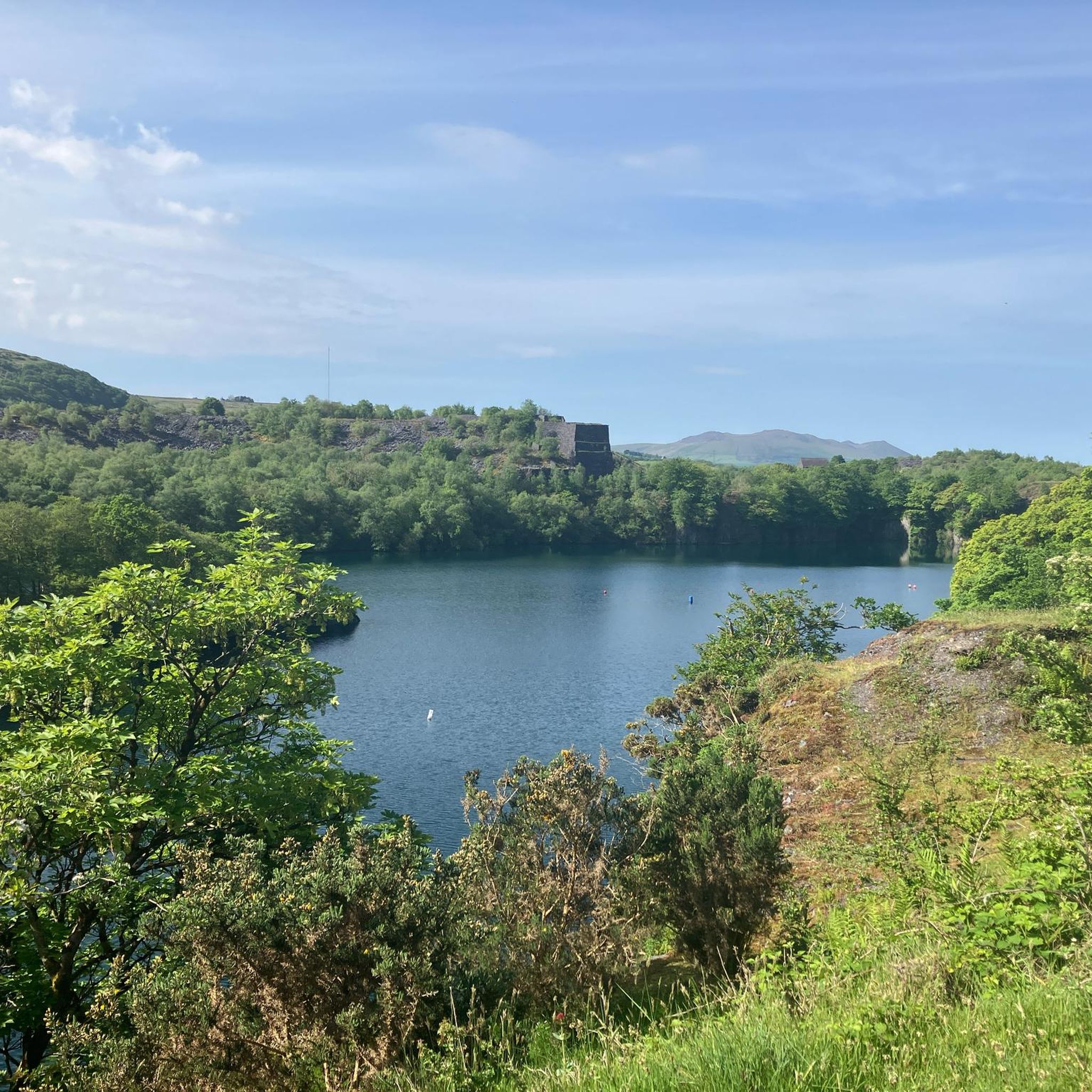
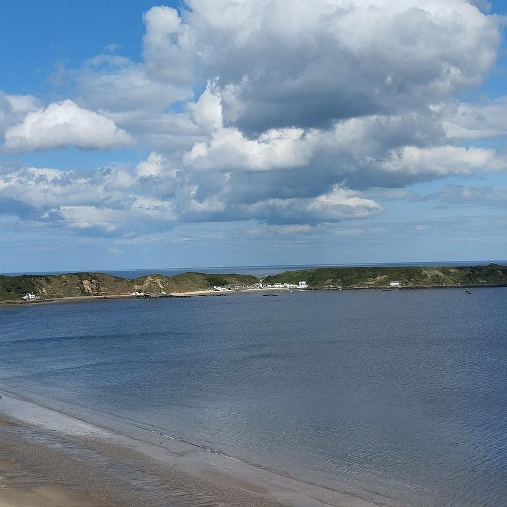
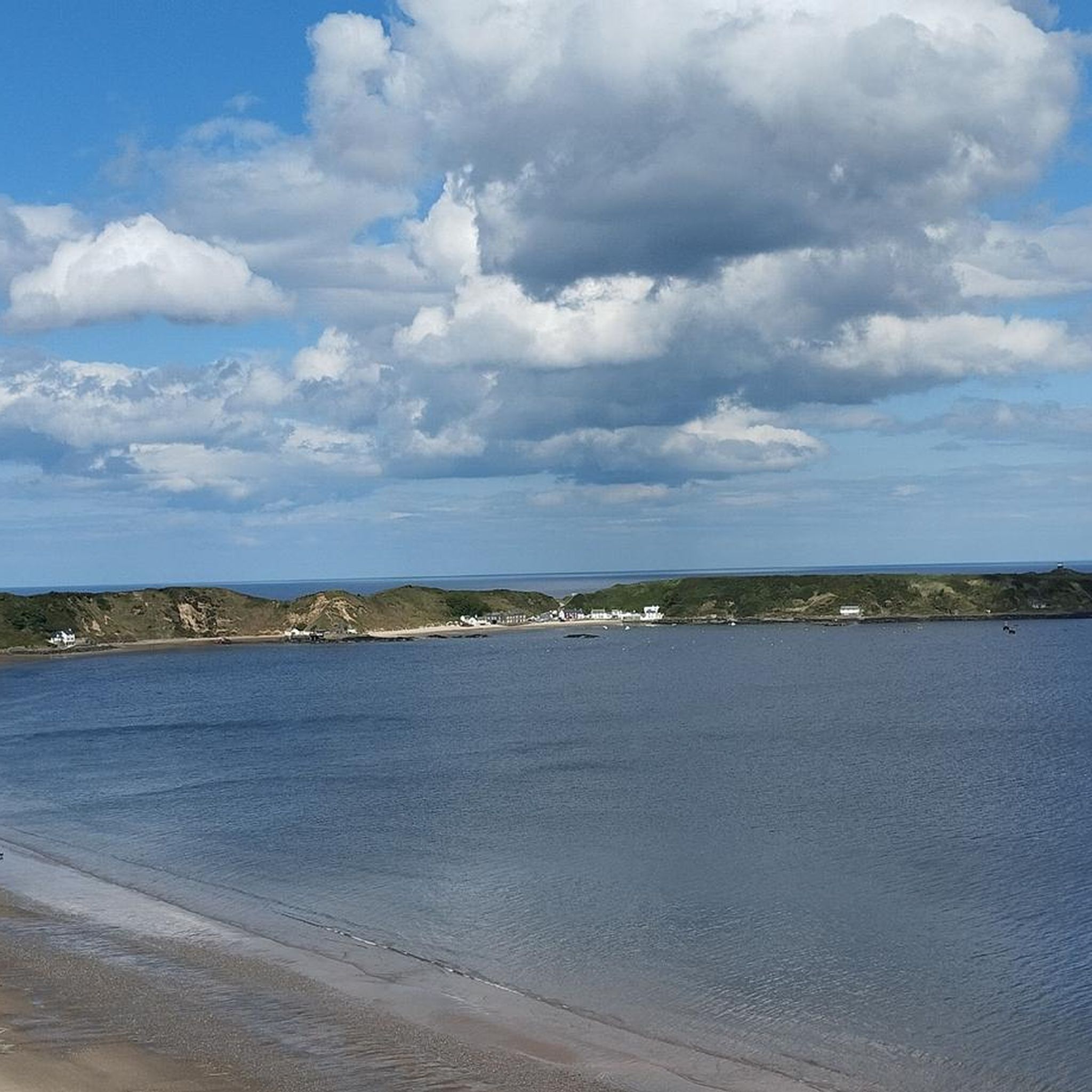
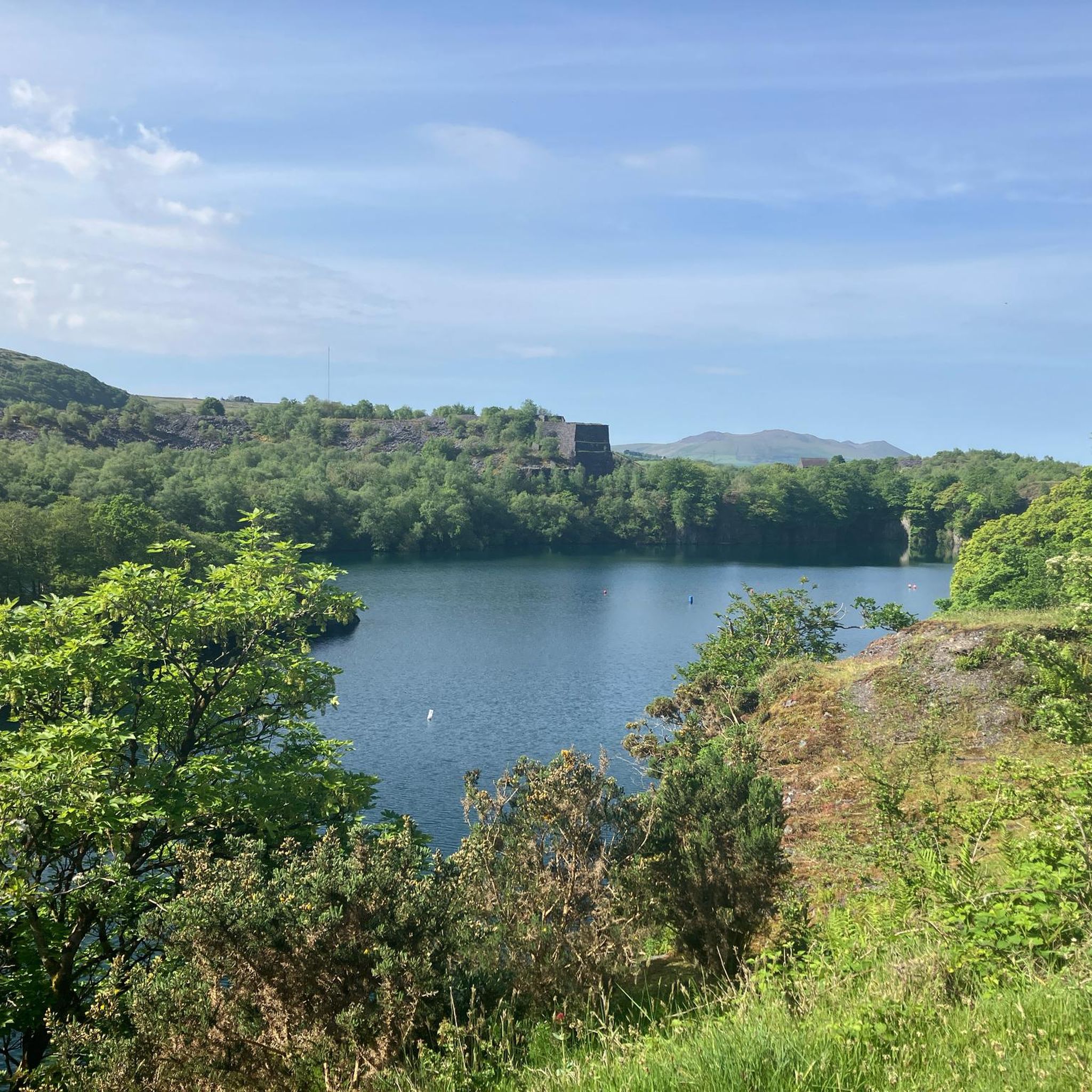

Tips from the Community

Along the paths, you will regularly find rows of fallen trees, felled by strong gusts of wind.
8
0
I don't know if this is a bridle path or not. This is in any case the start of the Rhyd-ddu path to the summit of Snowdon. It starts at the Rhyd-ddu station of the Welsh Highland Railway, where ample paid parking is available.
9
0

Depending on fitness levels this route on average takes around 5hrs up and down.
1
0

I think the start and the end is probably the hardest but overall pretty easy path you can’t get lost
0
0

Great view of the lake and the climb to come , stopped for a quick brew before the ascent up
0
0

The Bwlch Main (south west ridge) is a great way to descend from the summit of Snowdon, particularly on a winter's day. Great views all the way to the Irish Sea
0
0


Llechog (Welsh for “slaty place”) is a long, rocky summit ridge that rises above the village of Rhyd Ddu. It’s not a separate mountain peak, but a prominent shoulder of Snowdon, forming the steep cliffs above Llyn Cwellyn. Pass over or alongside Llechog before continuing along the narrow Bwlch Main ridge to reach the summit of Snowdon. 👁️🗨️ Spectacular cliffs: Sheer drops plunge hundreds of metres into the valley below. It’s one of Snowdon’s most dramatic natural features. Views westward: Over Llyn Cwellyn and the forested valley, with Moel Hebog and the Nantlle Ridge in the distance. On a clear day, you can see all the way to the sea. Looking ahead, the razor crest of Bwlch Main. 👥 Not as popular as other routes, you are likely to get the path to yourself. ⚠️ More exposed and dramatic than the lower Rhyd Ddu approach, but easier than the knife-edge ridge sections of Crib Goch. The cliffs drop steeply to the west, so straying off-path could be very dangerous. 🌬️ In windy weather, this section feels more serious than the lower Rhyd Ddu slopes. Strong winds can funnel along the ridge, adding to the exposure 😶🌫️ The path is fairly clear in good visibility, but in cloud it’s easy to drift too close to the edge. ❄️ In winter, cornices and ice build-up on the cliff edge pose real risks.
0
0
Frequently Asked Questions
Are there any easy mountaineering routes suitable for beginners around Llanwnda?
Mountaineering routes around Llanwnda are predominantly challenging, designed for experienced individuals. The terrain involves significant elevation changes, rocky paths, and exposed ridges, particularly on routes leading to Snowdon's summit. There are no easy mountaineering routes listed in this area, with only one moderate option available among the seven routes.
Where can I park when planning a mountaineering trip near Llanwnda?
Many mountaineering routes in the Llanwnda area, especially those ascending Snowdon, typically start from well-known trailheads such as Llanberis or Rhyd-ddu. These locations usually offer designated parking facilities, though it's advisable to arrive early during peak seasons to secure a spot.
What is the typical duration for mountaineering routes in the Llanwnda area?
The duration for mountaineering routes around Llanwnda varies depending on the specific trail and your pace. For instance, the Snowdon Summit loop from Llanberis typically takes around 5 hours 35 minutes, while the Snowdon Summit loop from Rhyd-ddu is estimated at 4 hours 48 minutes. Shorter, though still challenging, routes like the Y Garn Summit (Nantlle Ridge) – Mynydd Drws-y-Coed loop from Rhyd-ddu can be completed in about 3 hours 51 minutes.
Which routes offer the most challenging mountaineering experiences near Llanwnda?
The Llanwnda region is known for its demanding mountaineering. The Snowdon Summit loop from Snowdon Ranger is a difficult 12.9 km route with over 890 meters of elevation gain, offering a significant challenge. All routes leading to Snowdon's summit from various starting points are considered difficult and require good fitness and experience.
Are the mountaineering routes around Llanwnda suitable for dogs?
While many trails in Snowdonia National Park are dog-friendly, mountaineering routes, especially those involving steep, rocky, or exposed sections, can be challenging for dogs. Always keep dogs on a lead to protect livestock and wildlife, and ensure they are fit enough for the strenuous terrain. Check specific route conditions and any local restrictions before you go.
What is the best time of year for mountaineering in Llanwnda?
The best time for mountaineering in Llanwnda is generally from late spring to early autumn (May to October) when weather conditions are more stable, and daylight hours are longer. However, mountain weather can change rapidly at any time of year, so always be prepared for all conditions, even in summer. Winter mountaineering requires specialized skills and equipment due to snow, ice, and shorter days.
What kind of views can I expect on mountaineering routes near Llanwnda?
Mountaineering routes around Llanwnda offer spectacular panoramic views of the rugged Snowdonia landscape. From the summits, you can expect expansive vistas across surrounding peaks, valleys, and lakes. Highlights include views from Snowdon Summit (Yr Wyddfa), Moel Eilio Summit, and the dramatic scenery along the Nantlle Ridge.
Are there any circular mountaineering routes in the Llanwnda area?
Yes, several mountaineering routes around Llanwnda are circular, allowing you to return to your starting point without retracing your steps. Examples include the Snowdon Summit loop from Llanberis and the Snowdon Summit loop from Rhyd-ddu, both offering comprehensive mountain experiences.
What do other mountaineers enjoy the most about mountaineering in Llanwnda?
The mountaineering routes around Llanwnda are highly rated by the komoot community, with an average score of 4.9 stars. Reviewers often praise the challenging nature of the ascents, the breathtaking panoramic views from the summits, and the sense of accomplishment gained from tackling Snowdonia's iconic peaks and ridges.
What are some interesting landmarks or attractions near the mountaineering routes?
Beyond the routes themselves, the area around Llanwnda is rich in natural beauty and points of interest. You can explore Snowdon Summit (Yr Wyddfa), enjoy the views from Craig Cwm Silyn summit, or visit Llanberis Village and Llyn Padarn. There are also notable mountain passes like Bwlch Glas Pass and the Bwlch Main Ridge.
Are there any less crowded mountaineering options around Llanwnda?
While routes to Snowdon's summit can be very popular, especially during peak season, exploring other parts of the Nantlle Ridge, such as the Y Garn Summit (Nantlle Ridge) – Mynydd Drws-y-Coed loop from Rhyd-ddu, might offer a slightly quieter experience while still providing challenging mountaineering and stunning views away from the main Snowdon paths.
What essential gear should I bring for mountaineering in Llanwnda?
Given the challenging terrain and unpredictable mountain weather, essential gear includes sturdy hiking boots with good ankle support, waterproof and windproof outer layers, multiple warm layers, a map and compass (and the ability to use them), a headlamp, sufficient food and water, and a first-aid kit. Trekking poles can also be very helpful on steep ascents and descents.
Most popular attractions around Llanwnda

Get inspired with the komoot mobile app


Explore more
Browse the best Mountain Hikes & Routes in other regions.
