The best mountain hikes around Irton With Santon
4.9
(11)
94
hikers
5
hikes
Mountaineering routes around Irton With Santon are situated within the Lake District National Park, characterized by dramatic landscapes and challenging peaks. The region features a diverse array of fells, rivers, and woodlands, including England's highest mountain, Scafell Pike. Notable natural features also include Wast Water and the River Irt, providing varied terrain for mountaineering.
Best mountaineering routes around Irton With Santon
- The most popular mountaineering route is Scafell Pike Summit – Scafell Pike Summit loop from Wasdale, a 5.3…
Last updated: September 28, 2026
4.8
(8)
81
hikers
8.52km
05:01
890m
890m
Hard mountaineering route. Very good fitness required. Sure-footedness, sturdy shoes and alpine experience required.
6
hikers
12.2km
05:37
890m
890m
Hard mountaineering route. Very good fitness required. Sure-footedness, sturdy shoes and alpine experience required.

5.0
(1)
3
hikers
9.77km
05:17
930m
930m
Hard mountaineering route. Very good fitness required. Sure-footedness, sturdy shoes and alpine experience required.
2
hikers
17.2km
06:59
890m
890m
Hard mountaineering route. Very good fitness required. Sure-footedness, sturdy shoes and alpine experience required.
5.0
(2)
2
hikers
14.6km
06:06
930m
930m
Hard mountaineering route. Very good fitness required. Sure-footedness, sturdy shoes and alpine experience required.
Our route recommendations are based on thousands of hikes, rides, and runs completed by other people on komoot.
Start today with a free account
Your next adventure awaits.
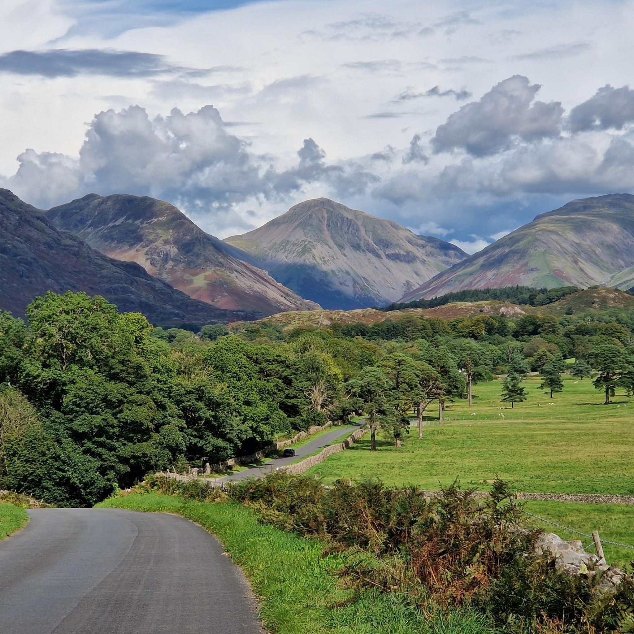
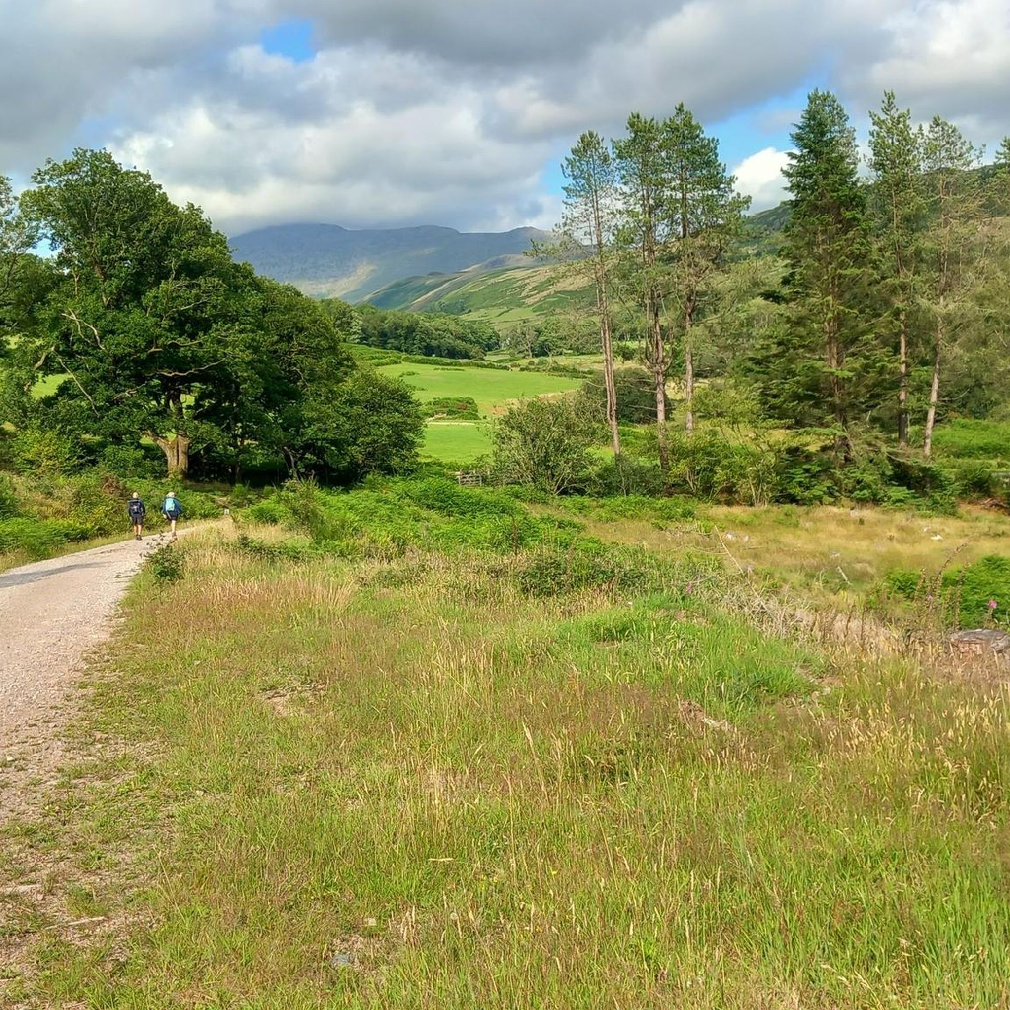
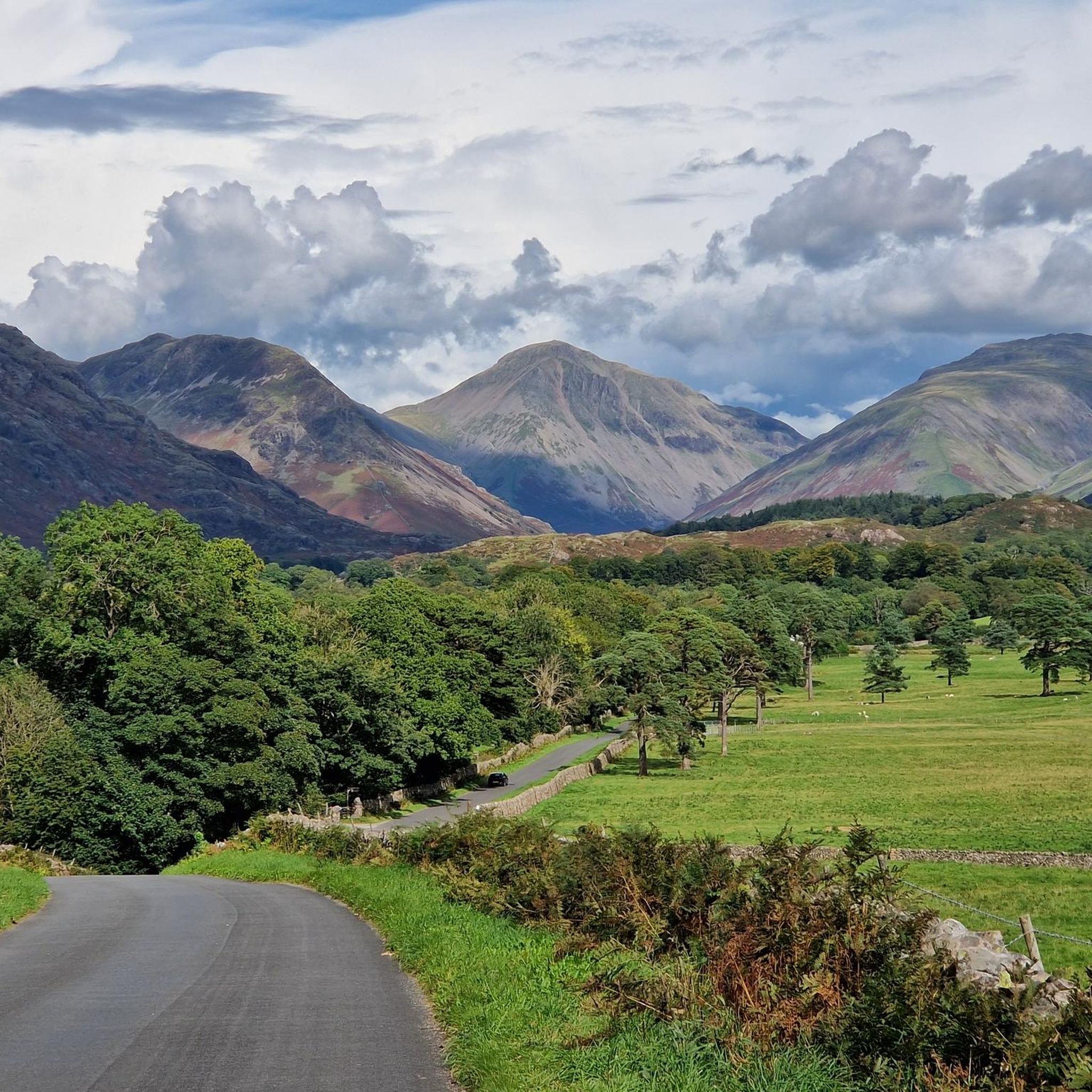
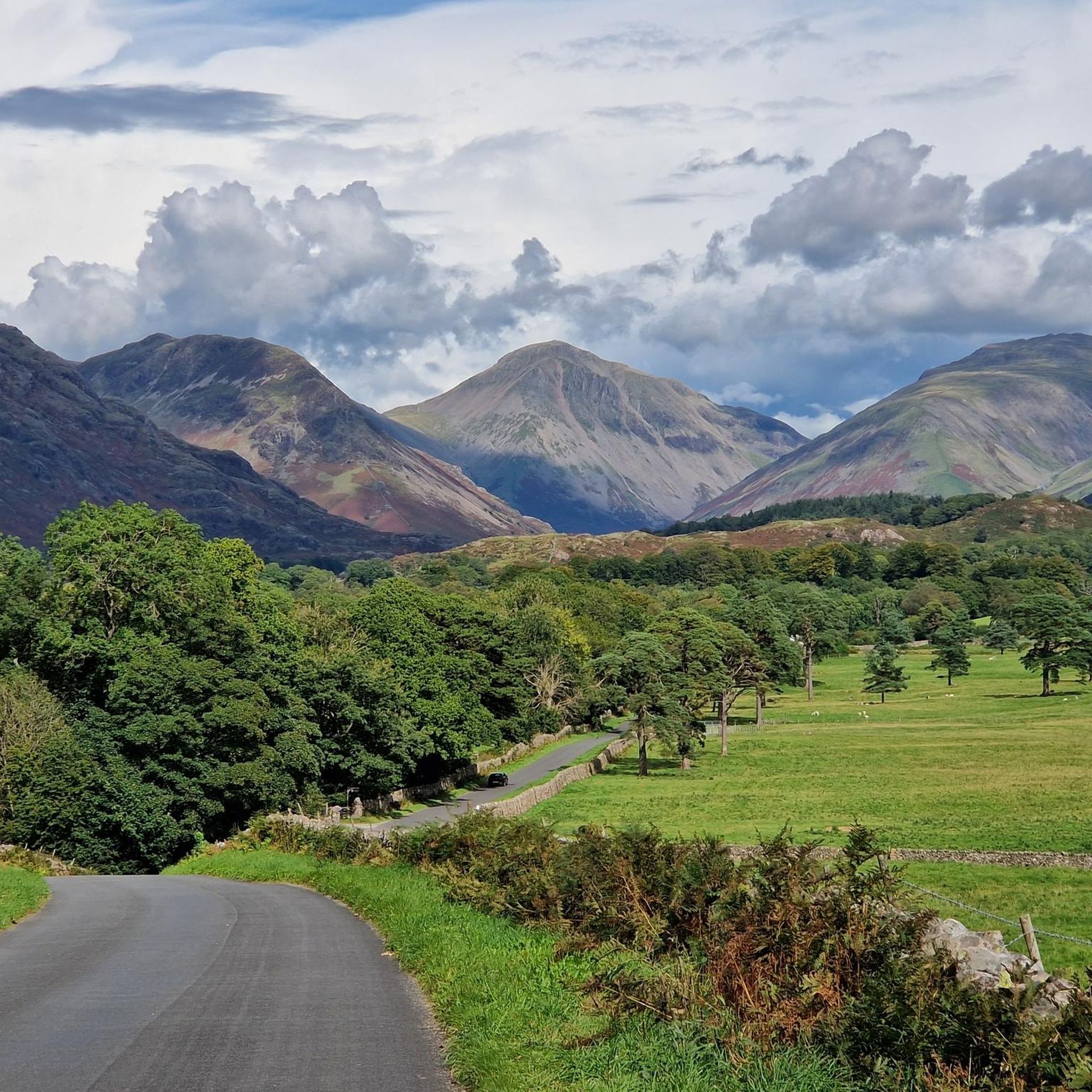

Tips from the Community

Sprinkling Tarn sits nestled in the most beautiful mountain scenery in England. It is surrounded by some of the most dramatic mountain peaks in this green and pleasant land and includes Scafell, Great Gable and Great End. It is the most beautiful place and definitely up there as one of the most picturesque tarns in the Lake District.
0
0


Englands highest mountain with fantastic views on a clear day but can be very busy in the summer.
0
0

Unfortunately it was dry when I came down this route. But lovely views to be had 😎
0
0
This is the ankle killer part ! One step forward 2 back and a twist and turn 🤪 its worse coming down than going up, be careful with your footing and if you slip or skid go with it 😣 good luck.
0
0
The weather can change 20 times before you summit. Make sure you have layers and if possible a hot drink. Ive done this twice both in August's and have been sun burnt on the bottom and wind burnt on the top. 😵💫
0
0
The hike up to Scafell Pike is surrounded in BEAUTY don't forget to look up and around, take it all in and take your time. Closer to the top the terrain is rocky and screen and it tires you out. Save your energy before hand 👌💪🦵
0
0
Frequently Asked Questions
How many mountaineering routes are available around Irton With Santon?
There are 7 distinct mountaineering routes available around Irton With Santon. The majority of these are challenging, with one route considered moderate.
What kind of terrain can I expect on mountaineering routes in this area?
The terrain around Irton With Santon is characterized by dramatic landscapes, challenging fells, and prominent peaks. You'll encounter significant elevation changes, rugged mountain paths, and potentially rocky scrambles, especially on routes leading to peaks like Scafell Pike or Yewbarrow.
Are there any circular mountaineering routes?
Yes, many of the mountaineering routes in the area are circular. For example, you could try the Scafell Pike Summit – Scafell Pike Summit loop from Wasdale, which is a challenging 5.3-mile (8.5 km) route offering a full mountain experience.
What are some notable natural features or viewpoints I can see while mountaineering?
The region is rich in natural beauty. You can enjoy stunning views of Wast Water, England's deepest lake, from various fells. Peaks like Illgill Head and Whin Rigg offer panoramic vistas. Many routes also provide views towards iconic mountains like Great Gable, Kirk Fell, and Yewbarrow. The summit of Scafell Pike itself provides awe-inspiring, remote views.
Are there any routes that offer a less strenuous mountaineering experience?
While most routes are difficult, there is one moderate mountaineering route available. For a rewarding experience with a more modest ascent, consider exploring Irton Pike, which offers panoramic 360-degree views encompassing Scotland, the Isle of Man, and Wast Water on a clear day.
What do other mountaineers say about the routes in Irton With Santon?
The mountaineering routes in Irton With Santon are highly rated by the komoot community, with an average score of 4.9 stars from over 10 reviews. Mountaineers often praise the challenging nature of the fells and the spectacular views from the summits.
Can I find routes that include waterfalls?
Yes, the area features several beautiful waterfalls. While not directly on every mountaineering route, you can find highlights like Stanley Ghyll Force Waterfall nearby, which can be incorporated into a day out. Some mountain streams also create impressive cascades, such as Cam Spout Waterfall.
Are there any routes suitable for advanced mountaineers seeking a challenge?
Absolutely. For advanced mountaineers, routes like the Scafell Pike Summit – Broad Crag (934 m) loop from Wasdale offer significant elevation gain and rugged terrain. The ascent to Broad Crag often involves a rocky scramble, providing a true challenge.
What is the best time of year for mountaineering in Irton With Santon?
The best time for mountaineering in Irton With Santon is generally during the late spring, summer, and early autumn months (May to October) when the weather is more stable and daylight hours are longer. However, conditions can change rapidly in the mountains, so always check the forecast and be prepared for all eventualities.
Are there any historical sites or attractions near the mountaineering routes?
Beyond the natural beauty, you can find historical points of interest such as Muncaster Castle and Hardknott Roman Fort in the wider area. While not directly on the highest peaks, these can complement a trip focused on outdoor pursuits. The Ravenglass & Eskdale Steam Railway is also a nearby attraction.
Is it possible to reach Scafell Pike from Irton With Santon?
Yes, Irton With Santon is an excellent base for accessing Scafell Pike, England's highest mountain. Routes like the Scafell Pike Summit – Scafell Pike Summit loop from St Olaf provide a challenging ascent to the summit, offering a full day's mountaineering.
Can I find routes that explore different fells in the Scafell range?
Yes, you can explore various fells within the Scafell range. The Sca Fell – Slight Side loop from Eskdale is a challenging 10-mile (16 km) trail that leads through this impressive mountain range, offering diverse views and terrain.
Are there any routes that include Yewbarrow?
Yes, you can specifically target Yewbarrow. The Yewbarrow loop from Wasdale is a difficult 4-mile (6.5 km) route that provides excellent viewpoints for the Scafells and Pillar range, often involving grade 1 scrambles.
Most popular routes around Irton With Santon
Most popular attractions around Irton With Santon

Get inspired with the komoot mobile app


Explore more
Browse the best Mountain Hikes & Routes in other regions.
