The best road cycling routes around Lowside Quarter
4.2
(25)
1,965
riders
125
rides
Road cycling routes around Lowside Quarter traverse a landscape characterized by significant elevation changes and proximity to notable bodies of water. The terrain includes both challenging ascents and more moderate sections, often with views of lakes and coastal areas. The region's geography supports diverse road cycling experiences, from long-distance routes with substantial climbing to shorter, less demanding paths.
Best road cycling routes around Lowside Quarter
- The most popular road cycling route is View of Loweswater – Lorton Village Shop loop…
Last updated: June 29, 2026
4.8
(6)
194
riders
85.8km
04:27
1,220m
1,220m
Hard road ride. Very good fitness required. Some segments of this route may be unpaved and difficult to ride.
58
riders
69.4km
03:22
860m
860m
Moderate road ride. Good fitness required. Mostly well-paved surfaces and easy to ride.

Sign up for free
31
riders
28.8km
01:30
250m
250m
Easy road ride. Great for any fitness level. Mostly well-paved surfaces and easy to ride.
22
riders
36.4km
01:48
400m
400m
Moderate road ride. Good fitness required. Mostly well-paved surfaces and easy to ride.
22
riders
112km
06:07
1,310m
1,310m
Hard road ride. Very good fitness required. Mostly well-paved surfaces and easy to ride.
Get access to more routes and recommendations from other explorers.
Sign up for free
Already have an account?
Our route recommendations are based on thousands of hikes, rides, and runs completed by other people on komoot.
Start today with a free account
Your next adventure awaits.
Login or Signup

Tips from the Community

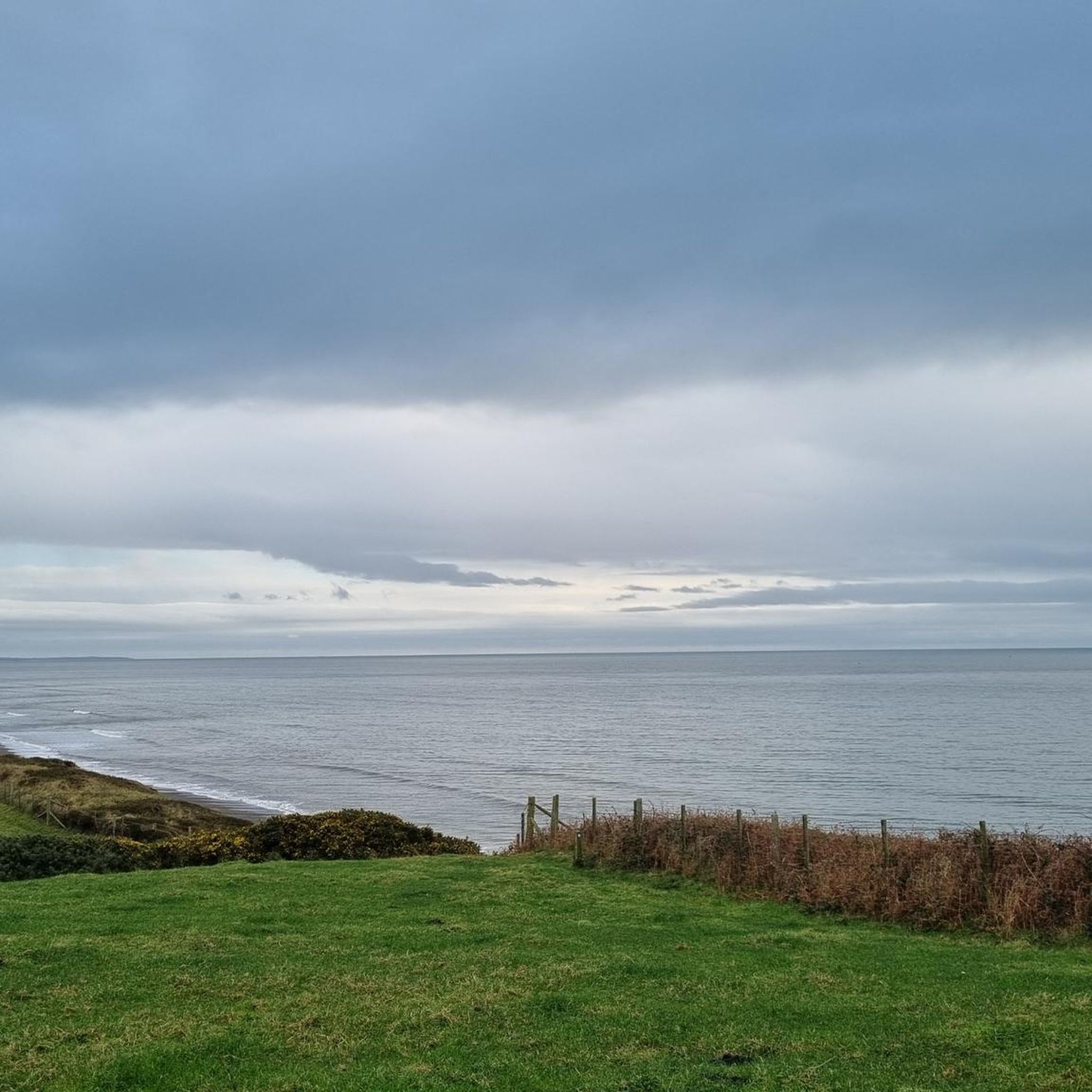
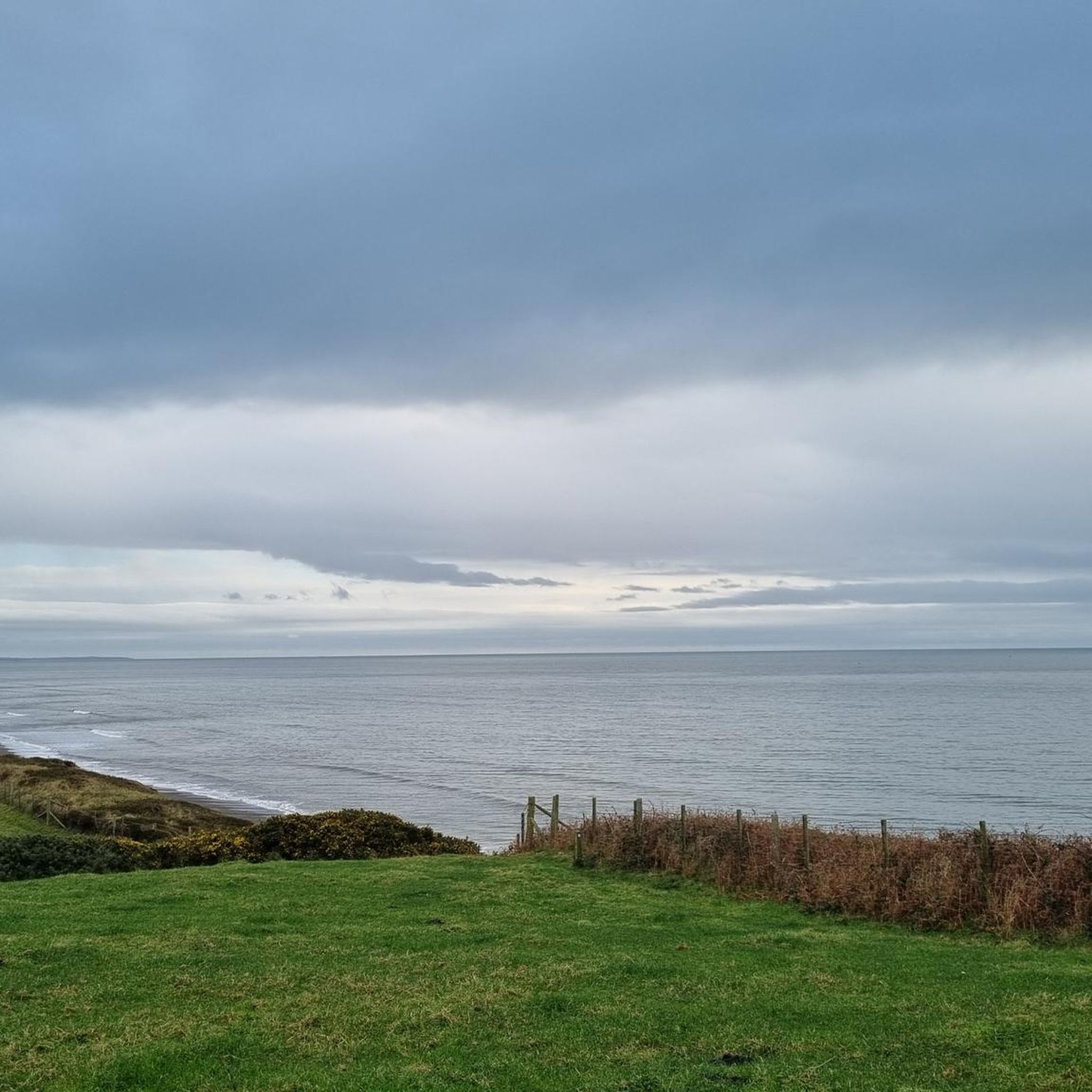
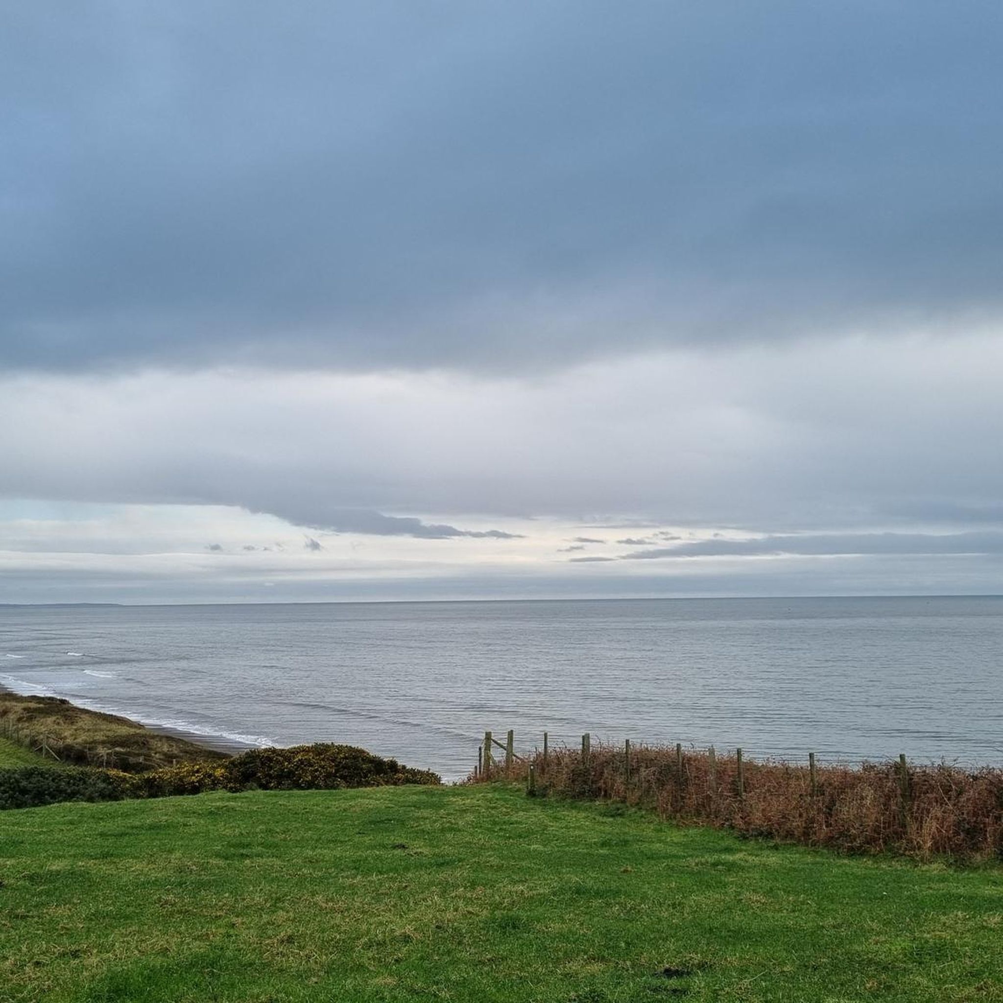
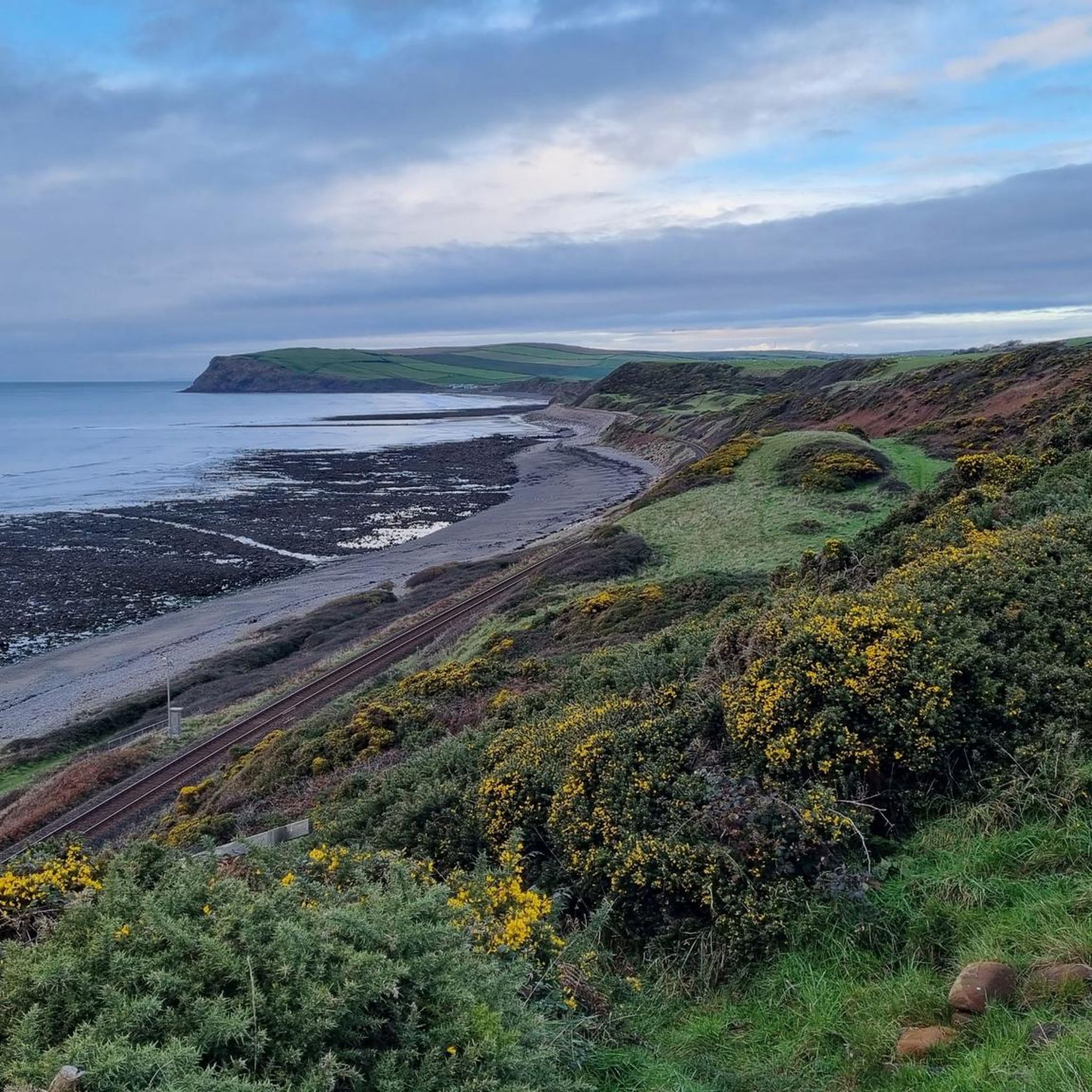
If heading north along the coast towards Sellafield follow the track on the seaward side of the railway all the way up to the Calder, then it's a loop under the railway and over the River
0
0

National Cycle Network route 71 crosses from the Buttermere Valley into Lorton Vale. It's known as the C2C route and has stunning views over Crummock Water.
0
0

Beware of free descending in the wet - it *appears* a shallow descent but you pick up speed quickly and there are some (otherwise lovely) sharp/blind turns.
0
0

Egremont, nestled along the banks of the River Ehen, is a historic market town with a rich industrial legacy encompassing dyeing, weaving, and iron ore mining. Positioned at the base of Uldale Valley and Dent Fell, the town is characterised by a broad Main Street extending into the vibrant market square. Remnants of the 12th-century Norman castle can be found near the market place at the southern end of Main Street. Today, Egremont's economic landscape is anchored in the nuclear industry centered around Sellafield. It lies on NCN 72, Hadrian's Cycleway.
0
0
The vast expanse of the sandy Seascale beach stretches for miles, offering breathtaking vistas that extend across the sea to the Isle of Man and the Galloway mountains.
0
0
Egremont, nestled along the banks of the River Ehen, is a historic market town with a rich industrial legacy encompassing dyeing, weaving, and iron ore mining. Positioned at the base of Uldale Valley and Dent Fell, the town is characterised by a broad Main Street extending into the vibrant market square. Remnants of the 12th-century Norman castle can be found near the market place at the southern end of Main Street. Today, Egremont's economic landscape is anchored in the nuclear industry centered around Sellafield. It lies on NCN 72, Hadrian's Cycleway.
0
0

Very old church: the current choir dates from the time of King Henry I (early 12th century). In the base of some walls there are indications that an earlier version of this church was already built in the 5th century. That would mean that it would have been founded by those who first evangelized this region in Celtic times (St. Ninian, d. 432, or St. Aidan, c. 651). Much later (unknown when, but at the latest at the time of the Reformation, i.e. in the 16th century) the church came into the possession of the monks of the abbey of Calder, about 10 kilometers further south. Source: Wikipedia
2
0
Frequently Asked Questions
How many road cycling routes are available in Lowside Quarter?
Lowside Quarter offers a diverse selection of over 120 road cycling routes. These routes cater to various skill levels, including 23 easy, 82 moderate, and 21 difficult options, ensuring there's a suitable ride for almost every cyclist.
What are the general characteristics of road cycling routes in Lowside Quarter?
Road cycling routes in Lowside Quarter are characterized by significant elevation changes and often feature views of notable bodies of water like Loweswater and Wast Water, as well as coastal sections. The terrain includes both challenging ascents and more moderate stretches, providing a varied cycling experience.
What do other cyclists think about the road cycling routes in Lowside Quarter?
The road cycling routes in Lowside Quarter are highly regarded by the komoot community, holding an average rating of 4.2 stars from over 20 reviews. More than 1,900 road cyclists have explored the area using komoot, often praising the varied terrain and scenic views.
Are there any challenging long-distance road cycling routes in Lowside Quarter?
Yes, for those seeking a challenge, Lowside Quarter offers several difficult long-distance routes. An example is the View of Loweswater – Lorton Village Shop loop from Nethertown, which spans 53.3 miles (85.8 km) with over 3,900 feet (1,200 meters) of elevation gain. Another demanding option is the View of Loweswater – View of Ennerdale loop from Egremont, covering 111.6 km with significant climbing.
Are there moderate road cycling options for experienced riders in Lowside Quarter?
Absolutely. A popular moderate route is the Wast Water – Seascale Beach loop from Nethertown. This 42.6-mile (68.6 km) path offers varied terrain, including views of Wast Water and coastal stretches near Seascale Beach, making it a favorite among local cyclists.
Are there any easier road cycling routes suitable for beginners in Lowside Quarter?
Yes, there are easier options available. The Roadbike loop from Egremont is a good choice, being 17.8 miles (28.6 km) long and typically completed in about 1 hour 29 minutes, with a more manageable elevation gain.
What kind of views can I expect on road cycling routes in Lowside Quarter?
Cyclists in Lowside Quarter can expect scenic views of lakes such as Loweswater and Wast Water. Many routes also feature picturesque coastal sections, offering diverse landscapes throughout your ride.
Are there any specific landmarks or natural attractions visible from the road cycling routes?
While cycling, you might encounter natural features like St Bees South Head or Fleswick Bay. Some routes also pass near viewpoints such as Lank Rigg Summit, offering panoramic vistas.
Are there any routes that pass through or near towns like Egremont?
Yes, several routes originate from or pass through Egremont. For example, the Roadbike loop from Egremont is a popular option, and the Clints Quarry – St. Leonard's Church loop from Egremont also starts from this area.
What is the typical elevation gain on road cycling routes in Lowside Quarter?
The elevation gain varies significantly across routes. For instance, a challenging route like the View of Loweswater – Lorton Village Shop loop from Nethertown features over 3,900 feet (1,200 meters) of climbing, while easier routes like the Roadbike loop from Egremont have a more modest 250 meters of ascent.
Can I find routes that combine lake views with coastal scenery?
Yes, many routes in Lowside Quarter are designed to showcase both the region's lakes and its coastline. The Wast Water – Seascale Beach loop from Nethertown is a prime example, offering beautiful views of Wast Water and stretches along Seascale Beach.
Most popular attractions around Lowside Quarter

Get inspired with the komoot mobile app


Explore more
Browse the best Road cycling routes in other regions.
