The best road cycling routes around Egremont
4.4
(34)
2,121
riders
14
rides
Road cycling routes around Egremont offer diverse terrain within Cumbria, UK, characterized by its proximity to the Lake District and the Solway Firth. The region features a mix of well-paved roads, rolling hills, and coastal views. Cyclists can find routes with varying elevation gains, from gentle ascents to more challenging climbs. This area provides access to scenic landscapes and historic locations suitable for road cycling.
Best road cycling routes around Egremont
- The most popular road cycling route is View of…
Last updated: October 26, 2026
34
riders
42.7km
02:09
530m
530m
Moderate road ride. Good fitness required. Mostly well-paved surfaces and easy to ride.
30
riders
28.8km
01:29
250m
250m
Easy road ride. Mostly well-paved surfaces and easy to ride.

23
riders
36.2km
01:47
400m
400m
Moderate road ride. Good fitness required. Mostly well-paved surfaces and easy to ride.
22
riders
112km
06:07
1,310m
1,310m
Hard road ride. Very good fitness required. Mostly well-paved surfaces and easy to ride.
16
riders
25.5km
01:18
360m
360m
Moderate road ride. Good fitness required. Mostly well-paved surfaces and easy to ride.
Get access to more routes and recommendations from other explorers.
Already have an account?
Our route recommendations are based on thousands of hikes, rides, and runs completed by other people on komoot.
Start today with a free account
Your next adventure awaits.
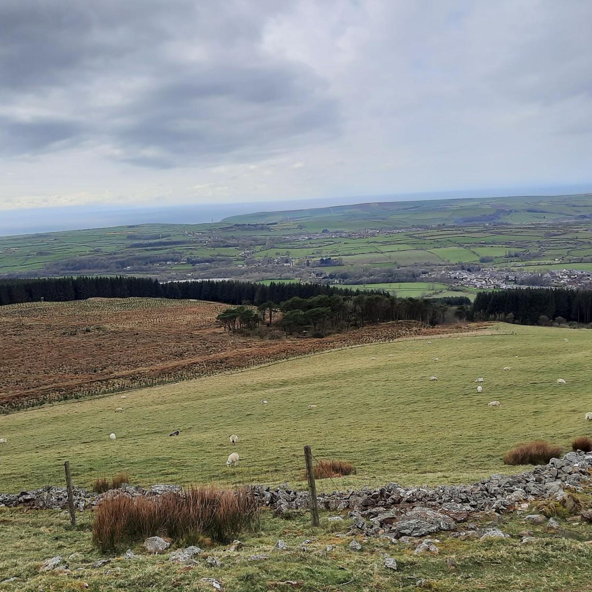
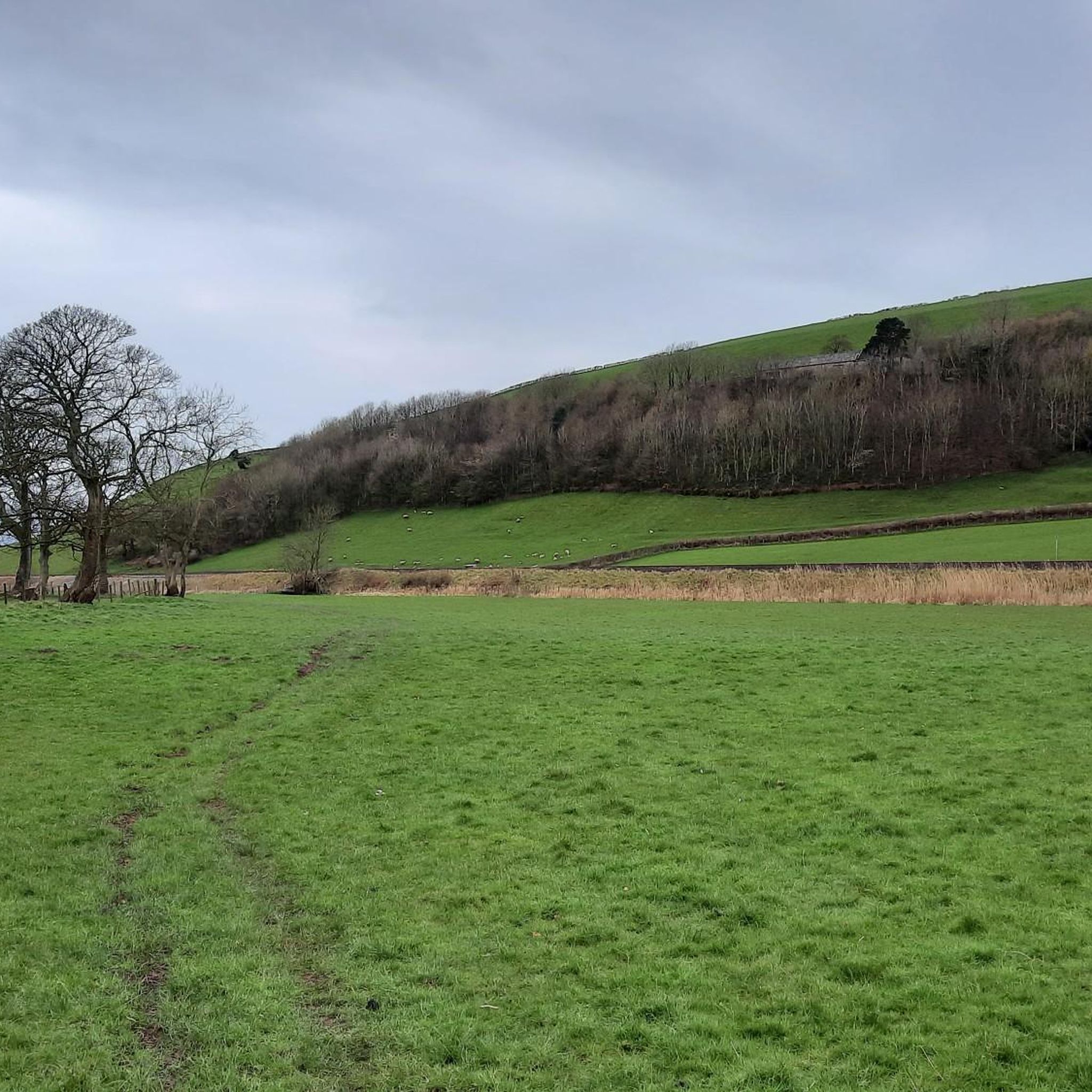
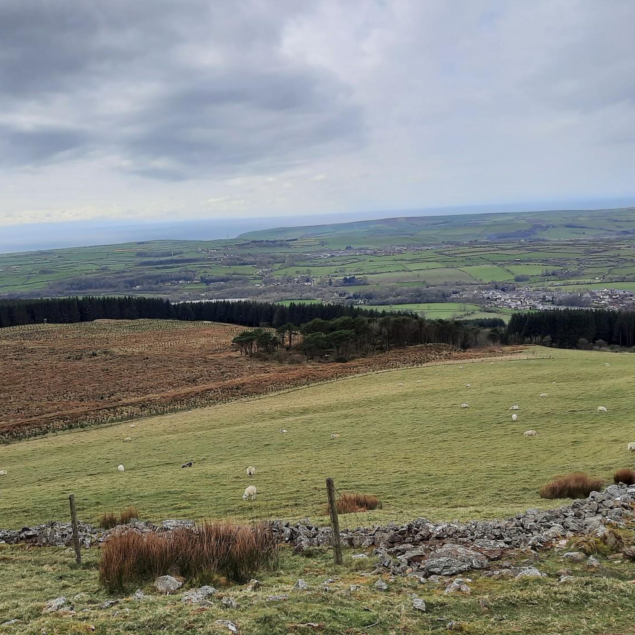
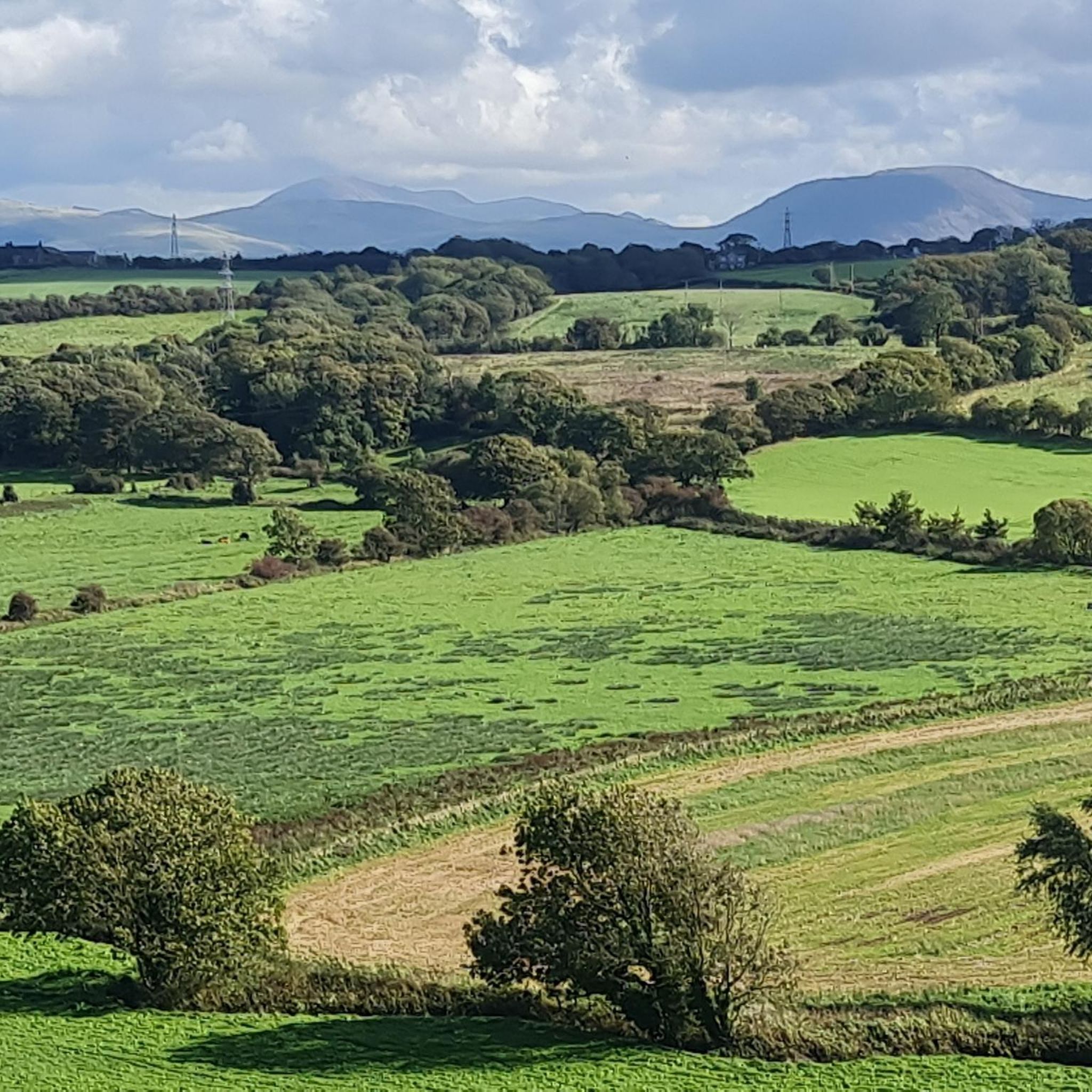

Tips from the Community

National Cycle Network route 71 crosses from the Buttermere Valley into Lorton Vale. It's known as the C2C route and has stunning views over Crummock Water.
0
0

Egremont, nestled along the banks of the River Ehen, is a historic market town with a rich industrial legacy encompassing dyeing, weaving, and iron ore mining. Positioned at the base of Uldale Valley and Dent Fell, the town is characterised by a broad Main Street extending into the vibrant market square. Remnants of the 12th-century Norman castle can be found near the market place at the southern end of Main Street. Today, Egremont's economic landscape is anchored in the nuclear industry centered around Sellafield. It lies on NCN 72, Hadrian's Cycleway.
0
0


Beautiful inn at the church of a truly idyllic village.
3
0


The fell road between Calder Bridge and Ennerdale Bridge passes the small but impressive stone circle at Kinniside, below Blakeley Rise. The circle has been reconstructed, with some cast in concrete, and is formed from eleven stones with a diameter of 18 metres. The tallest stone is 1.15 metres high. Stunning views to Whitehaven and into the Lakes.
0
0
Frequently Asked Questions
How many road cycling routes are available around Egremont?
There are over 15 road cycling routes around Egremont, offering a variety of options for different skill levels. You'll find a mix of easy, moderate, and challenging rides.
What kind of terrain and elevation can I expect on road cycling routes in Egremont?
Egremont's road cycling routes feature diverse terrain, from well-paved roads to rolling hills and coastal paths. Elevation gains vary significantly, with some routes offering gentle ascents and others, like the View of Loweswater – View of Ennerdale loop from Egremont, including challenging climbs of over 1,300 meters.
Are there any easy road cycling routes suitable for beginners or families in Egremont?
Yes, Egremont offers several easy road cycling routes. For instance, The Gather Café loop from Egremont is an easy 22.5 km ride with moderate elevation, making it a good option for those seeking a less strenuous experience.
What are some scenic viewpoints or natural features I can see along the road cycling routes?
Many routes offer stunning views of the Solway Firth and the Lake District fells. You can also pass by natural features like Ennerdale Water and Angler's Crag. The View of the Solway Firth – View of Ennerdale loop from Moor Row is particularly noted for its scenic vistas.
Are there any circular road cycling routes around Egremont?
Yes, many of the road cycling routes around Egremont are circular, allowing you to start and end in the same location. Examples include the Clints Quarry – St. Leonard's Church loop from Egremont and the Cold Fell Stone Circle – The Gather Café loop from Egremont.
What do other road cyclists enjoy most about cycling in Egremont?
The komoot community highly rates the road cycling experience in Egremont, with an average score of 4.9 stars from over 10 reviews. Cyclists often praise the diverse terrain, coastal views, and access to the Lake District fells, noting the variety of routes suitable for different ability levels.
Are there any long-distance road cycling routes near Egremont?
For those seeking longer rides, the View of Loweswater – View of Ennerdale loop from Egremont is a challenging 111.6 km route that takes you through the Lake District's western fells. Other longer scenic rides can reach destinations like Buttermere, Ennerdale, and the Whitehaven Coast.
Can I find historical landmarks or points of interest along the road cycling routes?
Yes, the region offers access to historic locations. While not directly on every route, destinations like Hardknott Roman Fort and Ravenglass Roman Bath House are accessible by bike from Egremont, offering rides of 20 and 13 miles respectively.
What are some challenging road cycling routes or climbs in the Egremont area?
For a significant challenge, consider the View of Loweswater – View of Ennerdale loop from Egremont. This route covers over 111 km with more than 1,300 meters of elevation gain, making it suitable for cyclists with very good fitness.
Are there any routes that pass by lakes or natural monuments?
Absolutely. Many routes offer views of the stunning Lake District landscape. You can find highlights like Ennerdale Water, Robin Hood's Chair, Ennerdale Water, and Angler's Crag near the cycling paths, providing beautiful natural scenery.
What is the best time of year for road cycling in Egremont?
The Lake District area, including Egremont, is generally best for cycling during spring, summer, and early autumn when the weather is milder and daylight hours are longer. This allows for more comfortable rides and better enjoyment of the scenic landscapes.
Most popular routes around Egremont
Most popular attractions around Egremont

Get inspired with the komoot mobile app


Explore more
Browse the best Road cycling routes in other regions.
