Lands Common To Brancepeth And Brandon And Byshottles
Lands Common To Brancepeth And Brandon And Byshottles
The best running trails around Lands Common To Brancepeth And Brandon And Byshottles
4.4
(55)
3,417
runners
154
runs
Jogging around Lands Common To Brancepeth And Brandon And Byshottles offers a diverse landscape for runners. The region features scenic river valleys, including the River Deerness and River Wear, alongside expansive woodlands and open countryside. Disused railway paths provide accessible, mostly paved routes with gentle gradients, while nature reserves like Low Barns and Brasside Pond offer tranquil environments with well-maintained paths. This area combines natural beauty with historical elements, creating varied running experiences.
Best jogging routes around Lands Common To…
Last updated: May 30, 2026
21
runners
10.3km
01:04
60m
60m
Moderate run. Good fitness required. Mostly paved surfaces. Suitable for all skill levels.
15
runners
6.28km
00:39
40m
40m
Moderate run. Good fitness required. Mostly paved surfaces. Suitable for all skill levels.

Sign up for free
14
runners
18.2km
01:54
120m
120m
Hard run. Very good fitness required. Mostly paved surfaces. Suitable for all skill levels.
9
runners
Moderate run. Good fitness required. Mostly paved surfaces. Suitable for all skill levels.
8
runners
5.18km
00:32
40m
40m
Moderate run. Good fitness required. Mostly paved surfaces. Suitable for all skill levels.
Get access to more routes and recommendations from other explorers.
Sign up for free
Already have an account?
Our route recommendations are based on thousands of hikes, rides, and runs completed by other people on komoot.
Start today with a free account
Your next adventure awaits.
Login or Signup
Popular around Lands Common To Brancepeth And Brandon And Byshottles
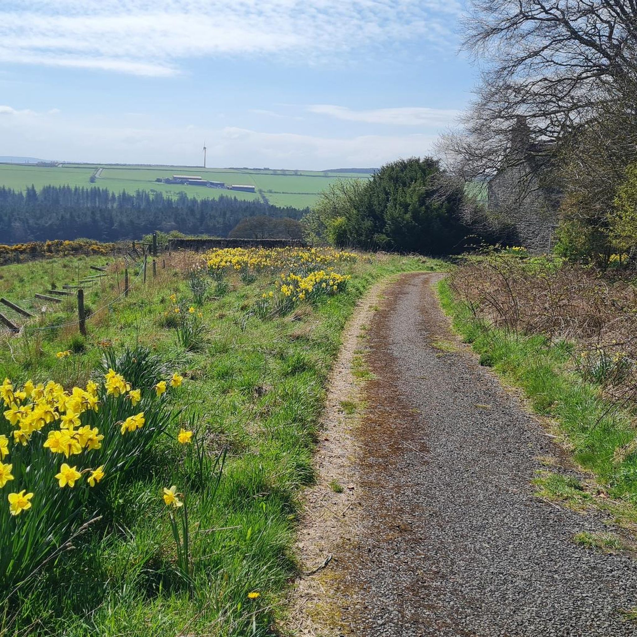
Road Cycling Routes around Lands Common To Brancepeth And Brandon And Byshottles
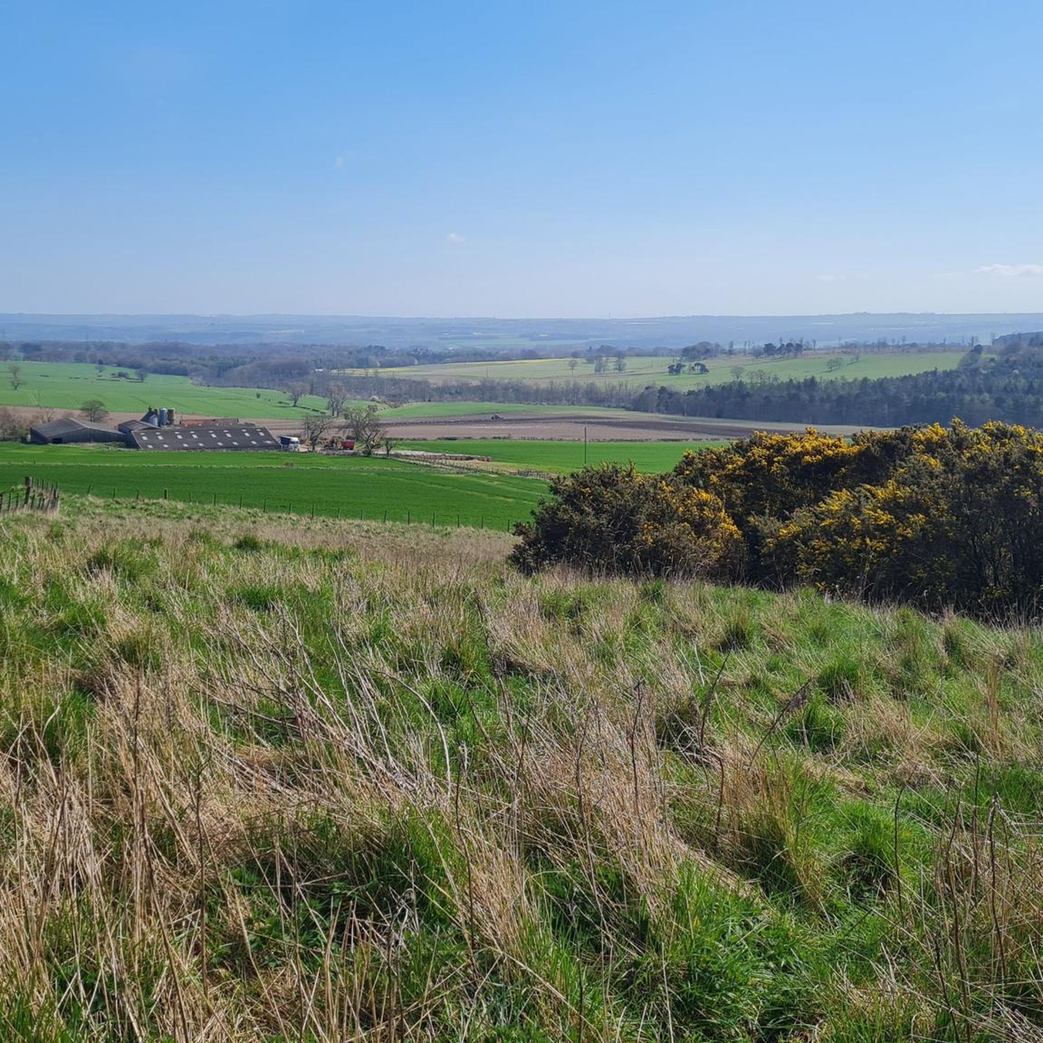
Cycling around Lands Common To Brancepeth And Brandon And Byshottles
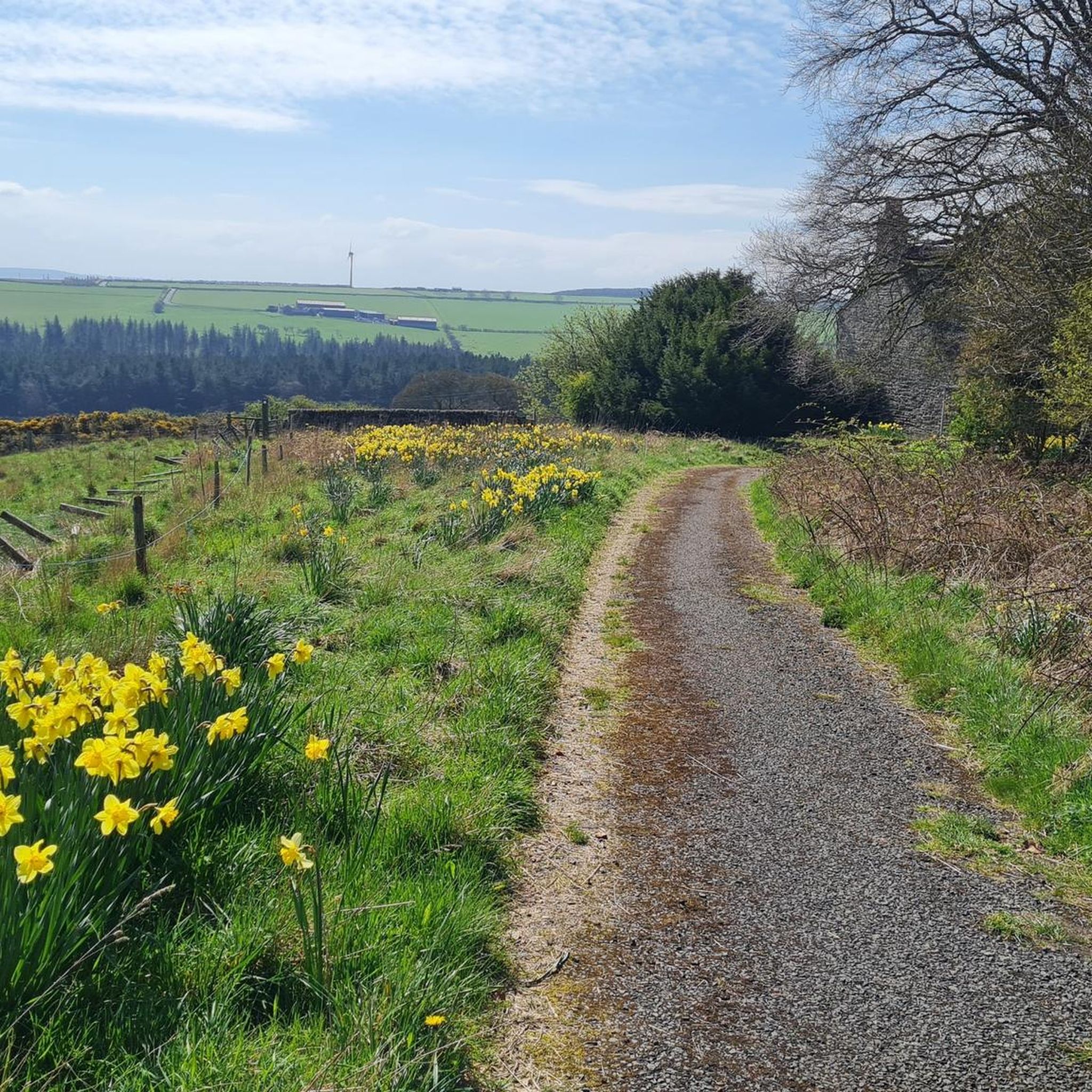
MTB Trails around Lands Common To Brancepeth And Brandon And Byshottles
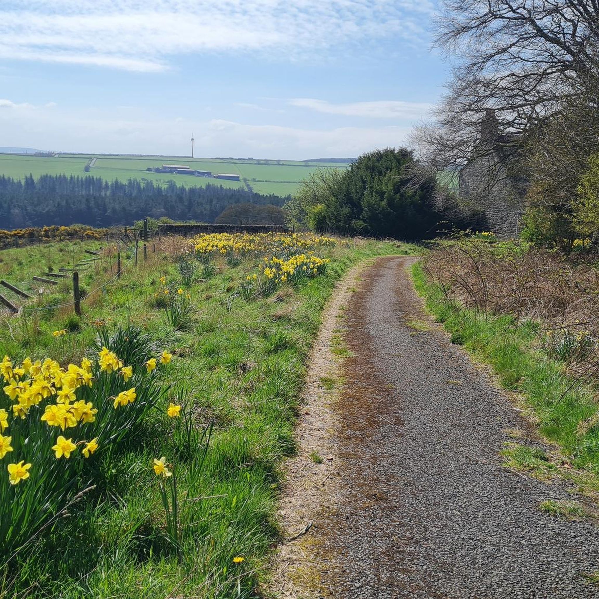
Hiking around Lands Common To Brancepeth And Brandon And Byshottles
Gravel biking around Lands Common To Brancepeth And Brandon And Byshottles
Tips from the Community

Hard packed former railway, now a popular walkway for cyclists and walkers. A good route to Bishop Auckland and beyond. Can get busy on weekends.
0
0


Willington is a former mining town based on the Brandon to Bishop Auckland disused railway, which use to serve the coal mining industry. It's colliery closed in 1967. There are some local shops and plenty of benches, so serves as a good rest stop.
1
0

Willington is a former mining village which was hit hard by the closure of the colleries in 1967. It's now starting to thrive but is still a commuting village as there isn't much local industry or work. There are a few local shops so it's a good place for a mid ride snack stop. The NCN70 goes through the village on the route of the old railway line.
0
0

The River Deerness runs 11.6 miles (18.7 km) through the picturesque valley of the same name. On its way, it passes Waterhouses, Ushaw Moor and Esh Winning villages before joining the River Browney near Langley Moor. It is thought that the river's name is the oldest place name in County Durham. Deerness is pre-Celtic and means 'rushing or roaring river.'
0
0


Frequently Asked Questions
How many running routes are available in Lands Common To Brancepeth And Brandon And Byshottles?
There are over 160 running routes in the area, offering a wide variety of options for different fitness levels and preferences. You'll find everything from easy strolls to more challenging runs.
What types of terrain can I expect on the jogging trails?
The region offers diverse terrain, including scenic river valleys like the River Deerness and River Wear, expansive woodlands, and open countryside. Many routes also utilize disused railway lines, providing mostly paved or accessible paths with gentle gradients, ideal for consistent running.
Are there any easy or beginner-friendly running routes?
Yes, the area features 17 easy running routes perfect for beginners or those looking for a more relaxed pace. These often include sections of former railway paths which offer gentle gradients and accessible surfaces.
Can I bring my dog on the running trails?
While specific dog-friendly designations for each route are not always listed, many of the natural trails, especially those through woodlands and along river paths, are generally suitable for dogs. Always ensure your dog is under control and check for any local signage regarding restrictions, particularly in nature reserves.
What kind of historical landmarks or attractions can I see while running?
Many routes intertwine with historical sites. You might encounter remains of old collieries, such as on the Stockley Gill Wood – Brancepeth Colliery loop from Willington, or pass by the site of the Battle of Neville's Cross. Views of iconic landmarks like Durham Cathedral and Durham Castle can also be enjoyed from various points.
Are there any circular running routes available?
Yes, many of the running routes in the area are circular. For example, the Stockley Gill Wood loop from Willington offers a moderate 7.8-mile (12.6 km) circular path through varied woodland terrain, and the Tree-Lined Riverside Walk – National Cycle Route loop from Willington is a 4.3-mile (7.0 km) loop along the riverside.
What do other runners say about the trails in this region?
The running routes in Lands Common To Brancepeth And Brandon And Byshottles are highly rated by the komoot community, with an average score of 4.5 stars from over 60 reviews. Runners often praise the scenic river valleys, peaceful woodlands, and the variety of terrain that makes for engaging runs.
Are there any routes suitable for families with children?
Routes that utilize former railway paths, such as sections of the Deerness Valley Railway Path, are generally well-maintained and have gentle gradients, making them suitable for families. Nature reserves like Low Barns also offer accessible paths for a tranquil family outing.
Where can I find parking for the running trails?
Many trailheads, especially those along former railway lines or near nature reserves, offer parking facilities. For instance, the Broompark Picnic Area serves as a hub for several railway paths and likely provides parking. It's always advisable to check specific route details for parking information.
What are the best natural features to look out for while running?
The region is rich in natural beauty. You can enjoy the picturesque River Deerness, which means 'rushing or roaring river,' and the River Wear. Nature reserves like Low Barns feature three lakes, ponds, reedbeds, and woodlands, offering opportunities for wildlife spotting. Brasside Pond, a Site of Special Scientific Interest, also provides a serene environment.
Are there any challenging routes for experienced runners?
Yes, for experienced runners seeking a challenge, there are 16 difficult routes available. An example is the Willington War Memorial – Willington Mining Memorial loop from Brancepeth, which is an 11.3-mile (18.2 km) trail with over 117 meters of elevation gain.
Can I access these running routes using public transport?
While specific public transport links to every trailhead are not detailed, the region is located in County Durham, England, which has public transport networks. It's recommended to check local bus routes or train services to nearby towns like Willington or Durham, and then plan your journey to the starting points of the trails.
Most popular routes around Lands Common To Brancepeth And Brandon And Byshottles
Most popular attractions around Lands Common To Brancepeth And Brandon And Byshottles

Get inspired with the komoot mobile app


Explore more
Browse the best Running Trails & Routes in other regions.
