Lands Common To Brancepeth And Brandon And Byshottles
Lands Common To Brancepeth And Brandon And Byshottles
The best road cycling routes around Lands Common To Brancepeth And Brandon And Byshottles
4.6
(56)
2,354
riders
86
rides
Road cycling routes around Lands Common To Brancepeth And Brandon And Byshottles traverse a landscape characterized by rural areas, woodlands, and open fields. The region features the River Deerness valley, which provides scenic views along several routes. Disused railway lines have been converted into cycling paths, offering generally flatter, paved surfaces suitable for road cyclists. These paths contribute to a network of routes with varied elevation gains, accommodating different fitness levels.
Best road cycling routes around Lands Common To Brancepeth…
Last updated: September 1, 2026
4.8
(4)
88
riders
22.3km
01:00
230m
230m
Easy road ride. Great for any fitness level. Mostly well-paved surfaces and easy to ride.
5.0
(2)
60
riders
42.5km
02:01
480m
480m
Moderate road ride. Good fitness required. Mostly well-paved surfaces and easy to ride.

Sign up for free
15
riders
40.6km
01:52
460m
460m
Moderate road ride. Good fitness required. Mostly well-paved surfaces and easy to ride.
7
riders
24.5km
01:16
400m
400m
Moderate road ride. Good fitness required. Mostly well-paved surfaces and easy to ride.
5.0
(2)
6
riders
46.6km
02:04
420m
420m
Moderate road ride. Good fitness required. Mostly well-paved surfaces and easy to ride.
Get access to more routes and recommendations from other explorers.
Sign up for free
Already have an account?
Our route recommendations are based on thousands of hikes, rides, and runs completed by other people on komoot.
Start today with a free account
Your next adventure awaits.
Login or Signup
Popular around Lands Common To Brancepeth And Brandon And Byshottles
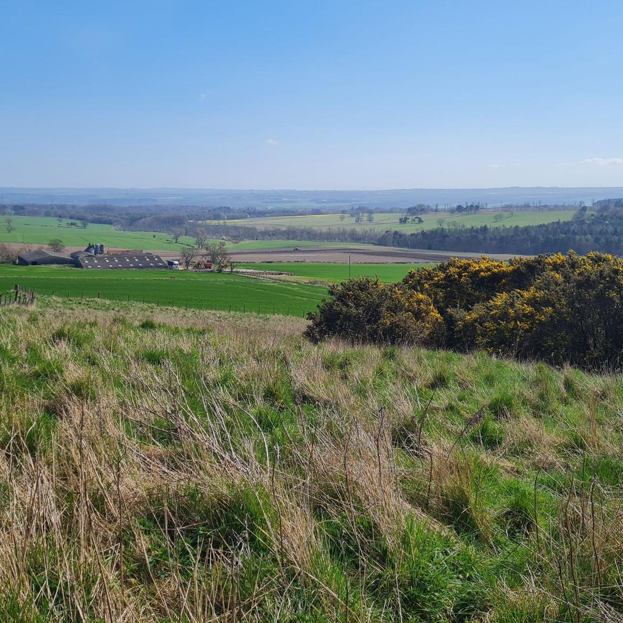
Cycling around Lands Common To Brancepeth And Brandon And Byshottles
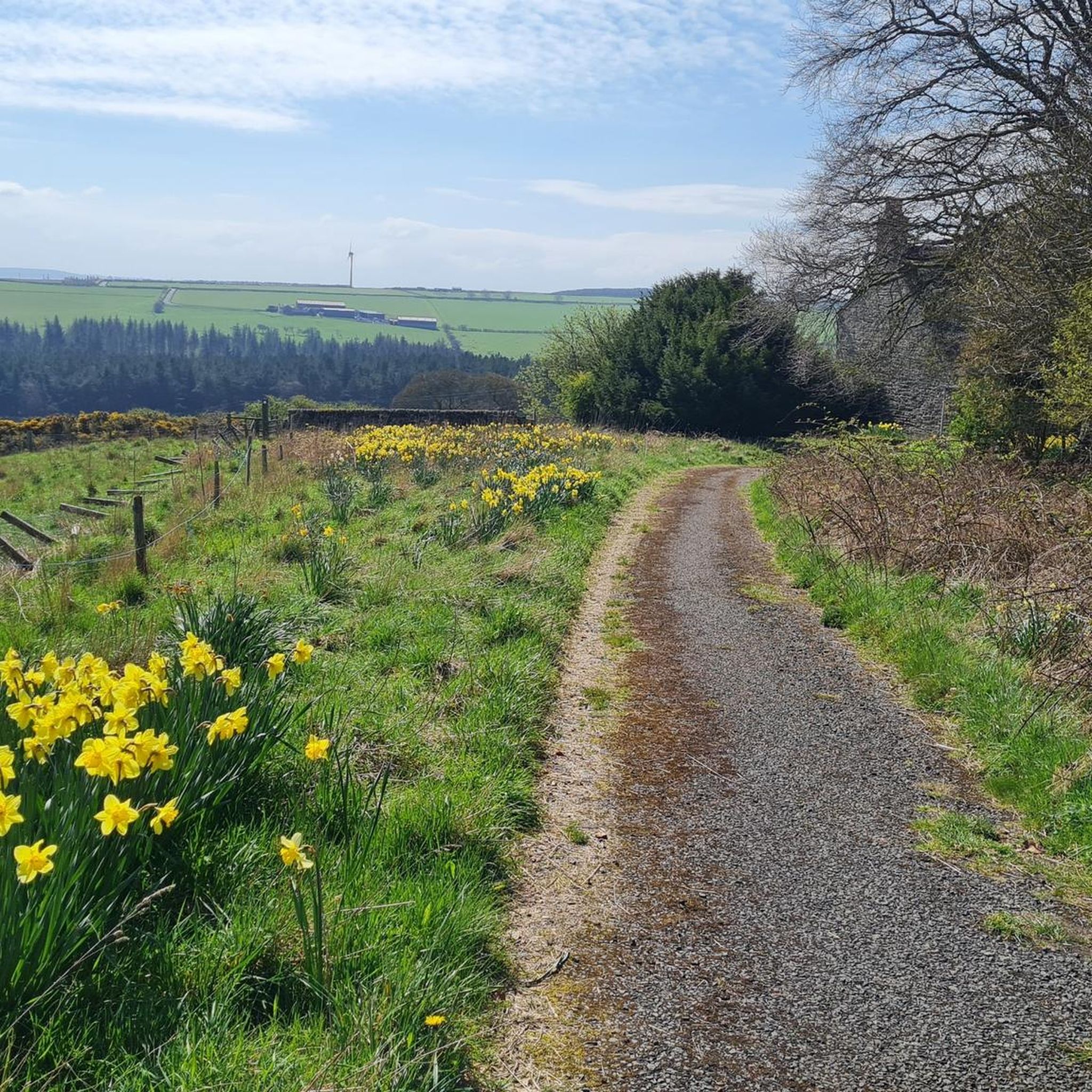
MTB Trails around Lands Common To Brancepeth And Brandon And Byshottles
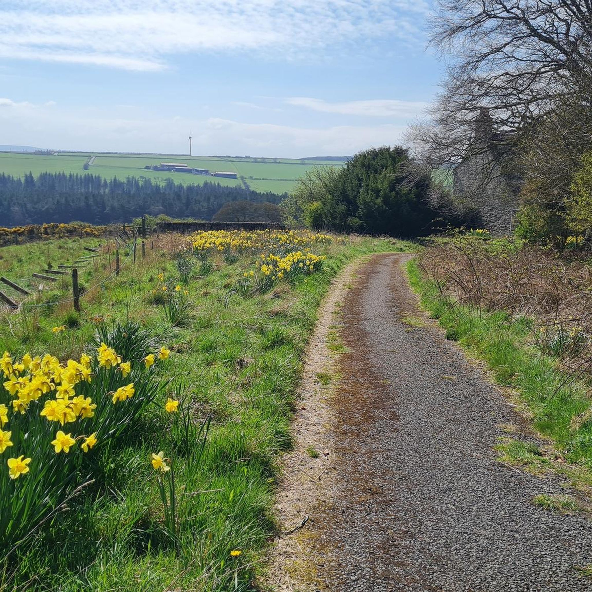
Hiking around Lands Common To Brancepeth And Brandon And Byshottles
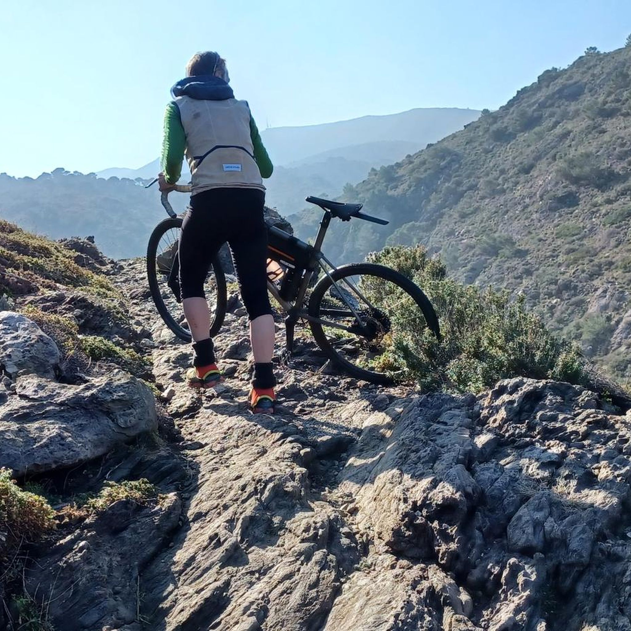
Gravel biking around Lands Common To Brancepeth And Brandon And Byshottles
Running Trails around Lands Common To Brancepeth And Brandon And Byshottles
Tips from the Community

From the 18th-century stone bridge, you can see Durham Cathedral and Castle on top of a rocky peninsula, wrapped by the River Wear.
0
0


Great pub to stop and refuel with a pint Great food 👍
0
0

Good beer and do a wicked steak and ale pie!
0
0

The view from the bridge over the river is nice, but concerning the cathedral you actually have a better view from the riverbank.
2
0

A stone arch bridge across the river Weir, it's construction was completed in 1778. The bridge was built slightly upstream of the previous bridge to give a better view of the cathedral. Durham Cathedral was established as a shrine to St. Cuthbert in the year 995. The present cathedral was largely finished by 1093. It's the only cathedral in England to retain the Norman carftmanship. The western towers date from the 12th and 13th centuary with the central tower added in the 15th centuary.
0
0
Willington is a former mining village which was hit hard by the closure of the colleries in 1967. It's now starting to thrive but is still a commuting village as there isn't much local industry or work. There are a few local shops so it's a good place for a mid ride snack stop. The NCN70 goes through the village on the route of the old railway line.
0
0
Frequently Asked Questions
How many road cycling routes are available in Lands Common To Brancepeth And Brandon And Byshottles?
There are over 90 road cycling routes available in the Lands Common To Brancepeth And Brandon And Byshottles area. These routes cater to various fitness levels, with a good mix of easy, moderate, and a few more challenging options.
What kind of terrain can I expect on road cycling routes in this region?
The terrain for road cycling in Lands Common To Brancepeth And Brandon And Byshottles is diverse, featuring rural areas, woodlands, and open fields. Many routes utilize disused railway lines, which have been converted into cycling paths, offering generally flatter and paved surfaces. Other routes will take you on local roads with varying elevation gains.
Are there easy road cycling routes suitable for beginners or families?
Yes, the region offers several easy road cycling routes perfect for beginners or families. These often follow the converted railway paths, providing smoother, less steep gradients. An example is the Wolsingham Road Descent – Waterhouses Road loop from Brancepeth, which is an easy 13.7-mile trail.
Can I find routes with significant climbs for advanced cyclists?
While many routes utilize converted railway paths that are generally flatter, the area does offer more challenging options with significant elevation gains. There are a few difficult routes and many moderate ones, such as the Broompark Picnic Area – River Browney loop from Waterhouses, which includes over 480 meters of ascent over 26.4 miles, requiring good fitness.
What natural features or landmarks can I see while cycling?
Road cycling routes in this area often traverse scenic landscapes. You can cycle alongside the picturesque River Deerness, which flows through a beautiful valley. Other notable landmarks include Durham Castle and Durham Cathedral, both UNESCO World Heritage Sites, which can be seen on routes passing through or near Durham. The Broompark Picnic Area & Railway Paths Hub is also a key point of interest.
Are there circular road cycling routes available?
Yes, many of the road cycling routes in Lands Common To Brancepeth And Brandon And Byshottles are circular, allowing you to start and finish at the same point. Examples include the Wolsingham Road Descent – Waterhouses Road loop from Willington and the Redhills Lane Climb – St Luke's Church, Ushaw Moor loop from Brancepeth.
Where can I park my car when starting a road cycling route?
Parking is available at various points throughout the region, particularly near the converted railway paths. The former railway station car park in Brancepeth is a known starting point for local routes. Additionally, areas like Broompark Picnic Area serve as hubs for accessing cycling paths, likely offering parking facilities.
Is public transport an option to reach the cycling routes?
The region is served by public transport, which can help you access various starting points for cycling routes. While specific bus routes or train stations directly adjacent to every trail may vary, researching local bus services to villages like Waterhouses, Ushaw Moor, or Esh Winning will provide options for reaching the area's cycling network.
What is the best time of year to go road cycling in this region?
The best time for road cycling in Lands Common To Brancepeth And Brandon And Byshottles is generally during the spring, summer, and early autumn months. During these periods, the weather is typically milder and drier, making for more pleasant riding conditions. Always check the local weather forecast before heading out.
Are there cafes or pubs along the road cycling routes?
Yes, as you cycle through the villages and rural areas of Lands Common To Brancepeth And Brandon And Byshottles, you will find opportunities to stop at local cafes and pubs. These establishments offer refreshments and a chance to rest, often located in villages that the routes pass through, such as Waterhouses, Ushaw Moor, and Esh Winning.
What do other cyclists say about road cycling in Lands Common To Brancepeth And Brandon And Byshottles?
The road cycling routes in Lands Common To Brancepeth And Brandon And Byshottles are highly rated by the komoot community, with an average score of 4.6 stars from over 50 reviews. Cyclists often praise the varied terrain, the scenic views along river valleys, and the accessibility provided by the converted railway paths.
Are the converted railway paths suitable for road bikes?
Yes, the disused railway lines that have been converted into cycling paths in this region are generally suitable for road bikes. They typically offer paved or well-maintained surfaces with gentle gradients, making them an appealing option for road cyclists seeking a smoother and often traffic-free ride.
Are there any routes that specifically follow the River Deerness?
Absolutely. The River Deerness is a central feature of the landscape, and several cycling routes, including variations of the Deerness Valley Railway Path loop, closely follow its course. These routes offer picturesque views of the river valley as it winds through villages like Waterhouses and Ushaw Moor.
Most popular routes around Lands Common To Brancepeth And Brandon And Byshottles
Most popular attractions around Lands Common To Brancepeth And Brandon And Byshottles

Get inspired with the komoot mobile app


Explore more
Browse the best Road cycling routes in other regions.
