Wolsingham Park Moor Lands Cmn To Stanhope, Tow Law And Wolsingham
Wolsingham Park Moor Lands Cmn To Stanhope, Tow Law And Wolsingham
The best running trails around Wolsingham Park Moor Lands Cmn To Stanhope, Tow Law And Wolsingham
3.8
(7)
1,938
runners
70
runs
Jogging around Wolsingham Park Moor Lands Cmn To Stanhope, Tow Law And Wolsingham offers diverse terrain and scenic landscapes. The region features an upland environment with high moorland ridges and plateaux, interspersed with broad pastoral dales. This area, part of the North Pennines National Landscape, is characterized by heather moorland, acidic grassland, and blanket bog, providing a remote setting for running. Rivers like the Wear flow through the dales, offering gentler riverside paths alongside more challenging moorland climbs.
Best jogging…
Last updated: July 9, 2026
7
runners
7.64km
00:51
70m
70m
Moderate run. Good fitness required. Mostly paved surfaces. Suitable for all skill levels.
4.0
(1)
3
runners
18.9km
02:13
330m
330m
Hard run. Very good fitness required. Mostly paved surfaces. Suitable for all skill levels.

Sign up for free
35
runners
Hard run. Very good fitness required. Mostly paved surfaces. Suitable for all skill levels.
26
runners
48.2km
06:04
1,130m
1,130m
Hard run. Very good fitness required. Mostly paved surfaces. Suitable for all skill levels.
21
runners
14.9km
01:39
310m
310m
Hard run. Very good fitness required. Mostly paved surfaces. Suitable for all skill levels.
Get access to more routes and recommendations from other explorers.
Sign up for free
Already have an account?
Our route recommendations are based on thousands of hikes, rides, and runs completed by other people on komoot.
Start today with a free account
Your next adventure awaits.
Login or Signup
Popular around Wolsingham Park Moor Lands Cmn To Stanhope, Tow Law And Wolsingham
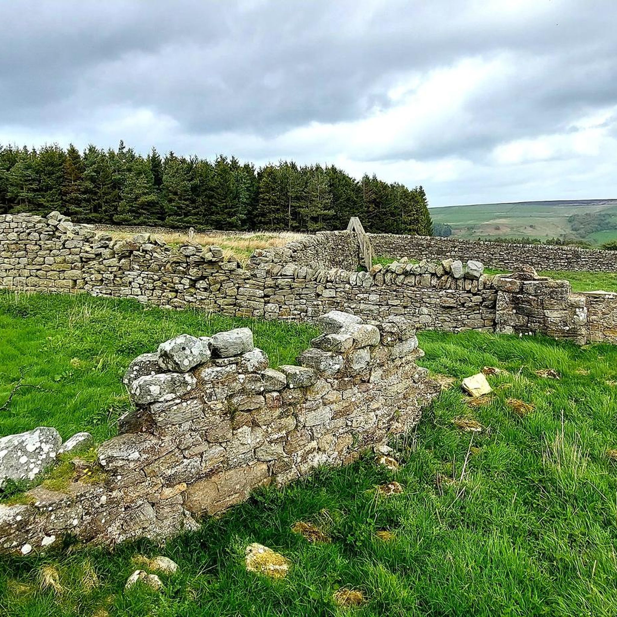
Cycling around Wolsingham Park Moor Lands Cmn To Stanhope, Tow Law And Wolsingham
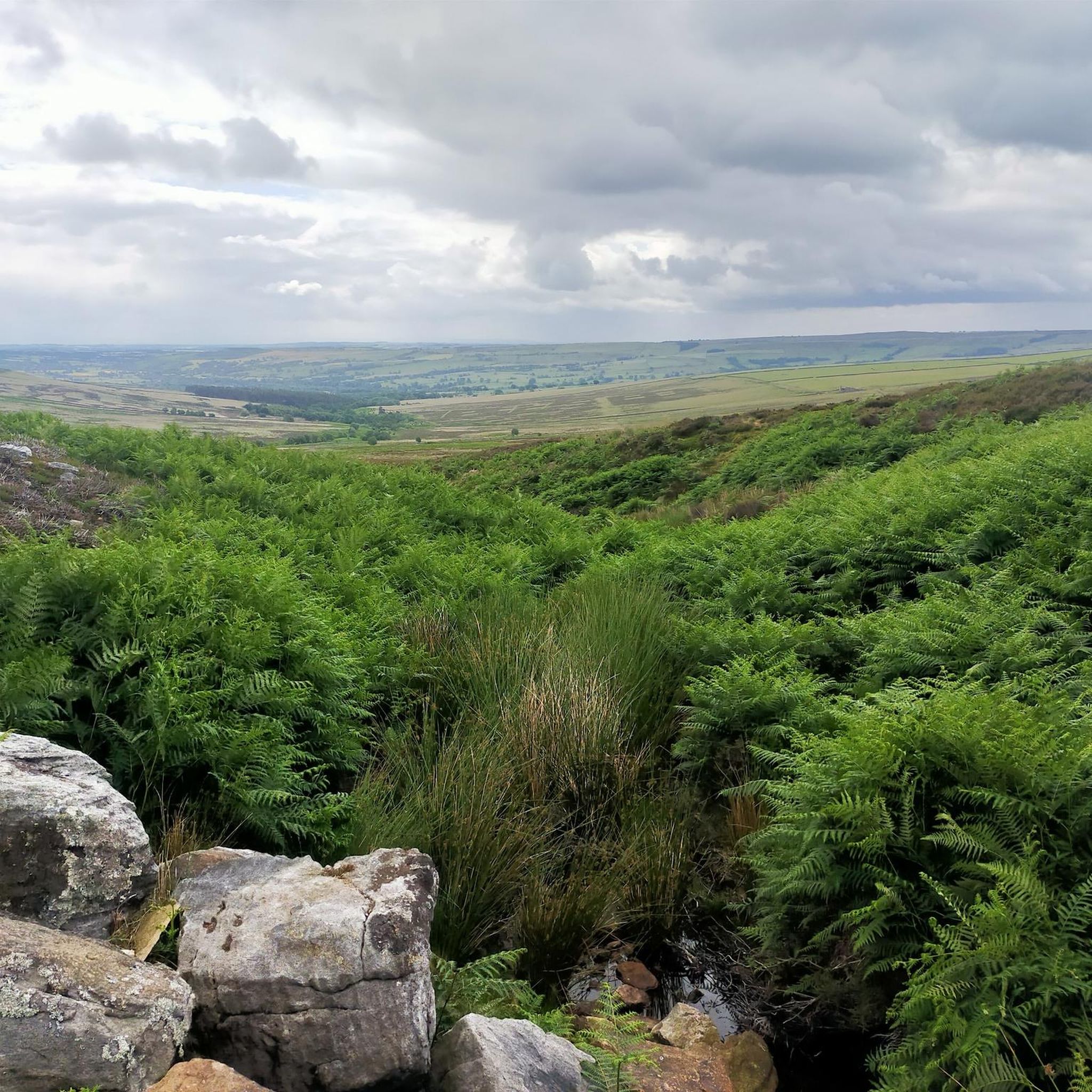
Road Cycling Routes around Wolsingham Park Moor Lands Cmn To Stanhope, Tow Law And Wolsingham
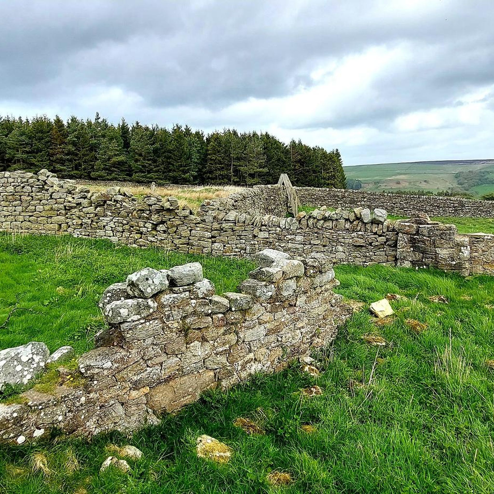
Hiking around Wolsingham Park Moor Lands Cmn To Stanhope, Tow Law And Wolsingham
Gravel biking around Wolsingham Park Moor Lands Cmn To Stanhope, Tow Law And Wolsingham
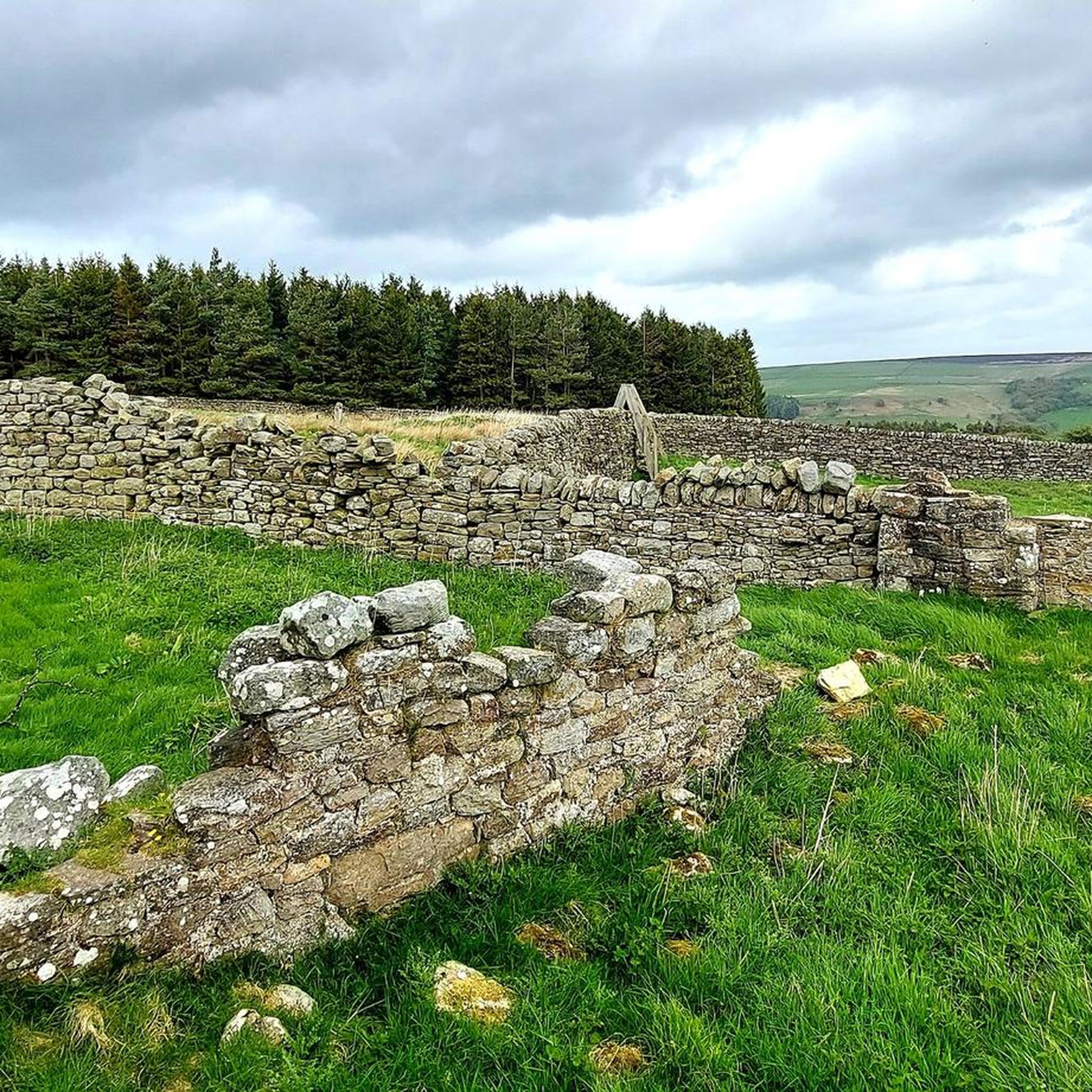
MTB Trails around Wolsingham Park Moor Lands Cmn To Stanhope, Tow Law And Wolsingham
Tips from the Community

A little gem of a reservoir definitely worth a visit.
0
0
Nice easy walk around with the tranquil sound of the water lapping at the shores.
0
0
Always a pleasure to explore around stanhope, so much history and lost industry there.
0
0

The Wear catchment stretches from the eastern North Pennines to the North Sea coast, encompassing the majority of County Durham. The river is formed at Wearhead, from the confluence of Burnhope and Killhope Burns, and flows east through Weardale to Bishop Auckland before turning north and flowing through Durham and Chester-le-Street before reaching the sea at Sunderland.
0
0
Above Weardale, between Frosterley and Wolsingham are a bunch of trees that are supposed to resemble an elephant. I think a few years ago, a storm caused damage to the trees and now a bit of imagination is needed.
1
0


You can reach this reservoir from Waskerley via gravel paths. Completed in the late 19th century, it is part of a group of three reservoirs in this area, with the other two being Waskerley and Hisehope.
1
0

The Forgotten Quarry (also known as Fine Burn Quarry) is a superb place for a walk during any season. This former limestone quarry forms a part of the Weardale Way, a long-distance footpath that follows the River Wear's journey from the Durham Dales to the North Sea, or vice versa. The path follows the course of a former railway track used to transport the mined limestone. Here, Bollihope Burn – a tributary of the River Wear, tumbles through woodland – creating a haven for wildlife.
0
0
Frequently Asked Questions
How many jogging routes are available in the Wolsingham Park Moor Lands area?
There are over 70 jogging routes available in the Wolsingham Park Moor Lands Cmn To Stanhope, Tow Law And Wolsingham region, catering to various fitness levels. You'll find a mix of easy, moderate, and challenging trails to explore.
Are there any easy or beginner-friendly running routes in the Wolsingham Park Moor Lands?
Yes, while many routes are moderate to difficult, there is at least one easy running route available. For a gentler experience, consider the riverside paths along the River Wear in the dales, which offer flatter terrain compared to the moorlands.
What kind of landscapes can I expect to see while running in this region?
The region offers a diverse and dramatic landscape. You'll encounter high moorland ridges, broad pastoral dales, heather moorland, and blanket bog. Rivers like the Wear flow through the dales, and you might also see features shaped by past lead mining, as well as picturesque reservoirs such as Tunstall Reservoir and Smiddy Shaw Reservoir.
Are there any circular running routes in the Wolsingham Park Moor Lands?
Yes, many routes in the area are circular. For example, the Hisehope & Smiddy Shaw reservoirs loop is a popular moderate circular route offering stunning views. Another option is the Five Pikes and the Elephant Trees loop from Frosterley, which is more challenging.
What are some notable landmarks or natural features to look out for on the running trails?
You can discover several interesting landmarks and natural features. Keep an eye out for The Elephant Trees, the historic Bollihope Limestone Quarry, and various trig points like Bolts Law Trig Point and Five Pikes Summit Trig Point, which offer expansive views. The Waskerley Way is also a scenic path that joggers can utilize.
Are the running routes in Wolsingham Park Moor Lands suitable for families?
The suitability for families depends on the specific route and the age/ability of the children. Gentler riverside paths and sections of the Waskerley Way might be suitable for family outings. Always check the route's difficulty and elevation profile before heading out with children.
Can I bring my dog on the trails in the Wolsingham Park Moor Lands area?
Many trails in the North Pennines National Landscape are dog-friendly, especially those on public rights of way. However, it's crucial to keep dogs under close control, particularly on moorland and farmland, due to livestock and ground-nesting birds. Always follow the Countryside Code and check for any specific local restrictions.
What do other runners think about jogging in Wolsingham Park Moor Lands?
The area is highly rated by the komoot community, with an average score of 3.8 stars. Runners often praise the diverse terrain, stunning views of the North Pennines, and the remote, tranquil quality of the moorlands, which provide an immersive running experience.
Are there any routes that include historical sites or ruins?
Yes, some routes incorporate historical elements. For instance, the View of Middleton-in-Teesdale – Stanhope Burn Mine Ruins loop from Stanhope leads through varied landscapes including historical mine ruins, offering a glimpse into the region's industrial past.
What is the best season for running in the Wolsingham Park Moor Lands?
The region offers unique experiences in different seasons. Spring and summer provide vibrant landscapes and longer daylight hours, while autumn brings beautiful colors. Winter running can be challenging due to potentially harsh weather conditions on the exposed moorlands, but also offers a stark, elemental beauty. Always check weather forecasts before heading out.
Are there any cafes or places to stop for refreshments along or near the running routes?
While the moorland routes can be remote, Wolsingham and nearby villages like Stanhope offer amenities. The Hamsterley Forest Café is an option if your route takes you near Hamsterley Forest. It's always a good idea to carry your own refreshments, especially on longer or more remote runs.
How long would it take to jog from Wolsingham towards Stanhope on a typical route?
The time it takes to jog between Wolsingham and Stanhope depends on the specific route and your pace. For example, a challenging route like the Unthank Bank – Hill End loop from Stanhope, which is about 14.9 km, might take around 1 hour 40 minutes to complete, depending on elevation and terrain.
Most popular routes around Wolsingham Park Moor Lands Cmn To Stanhope, Tow Law And Wolsingham
Most popular attractions around Wolsingham Park Moor Lands Cmn To Stanhope, Tow Law And Wolsingham

Get inspired with the komoot mobile app


Explore more
Browse the best Running Trails & Routes in other regions.
