Wolsingham Park Moor Lands Cmn To Stanhope, Tow Law And Wolsingham
Wolsingham Park Moor Lands Cmn To Stanhope, Tow Law And Wolsingham
The best walks and hikes around Wolsingham Park Moor Lands Cmn To Stanhope, Tow Law And Wolsingham
4.5
(531)
3,980
hikers
183
hikes
Hiking around Wolsingham Park Moor Lands Cmn To Stanhope, Tow Law And Wolsingham offers a diverse landscape characterized by open moorland, river valleys, and historical industrial features. The region includes areas like Stanhope and Wolsingham, providing a mix of terrain from gentle riverside paths to more elevated moorland trails. Hikers can expect to encounter a variety of natural and historical points of interest throughout the area.
Best hiking trails around Wolsingham Park Moor Lands Cmn To Stanhope, Tow Law And…
Last updated: October 12, 2026
4.5
(13)
134
hikers
3.16km
00:50
30m
30m
Easy hike. Great for any fitness level. Easily-accessible paths. Suitable for all skill levels.
4.7
(11)
53
hikers
15.6km
04:17
260m
260m
Moderate hike. Good fitness required. Easily-accessible paths. Suitable for all skill levels.

4.4
(9)
47
hikers
9.53km
02:32
100m
100m
Moderate hike. Good fitness required. Easily-accessible paths. Suitable for all skill levels.
4.9
(9)
28
hikers
17.4km
04:57
400m
400m
Moderate hike. Good fitness required. Easily-accessible paths. Suitable for all skill levels.
4.3
(6)
27
hikers
6.23km
01:38
50m
50m
Easy hike. Great for any fitness level. Easily-accessible paths. Suitable for all skill levels.
Get access to more routes and recommendations from other explorers.
Already have an account?
Our route recommendations are based on thousands of hikes, rides, and runs completed by other people on komoot.
Start today with a free account
Your next adventure awaits.
Popular around Wolsingham Park Moor Lands Cmn To Stanhope, Tow Law And Wolsingham
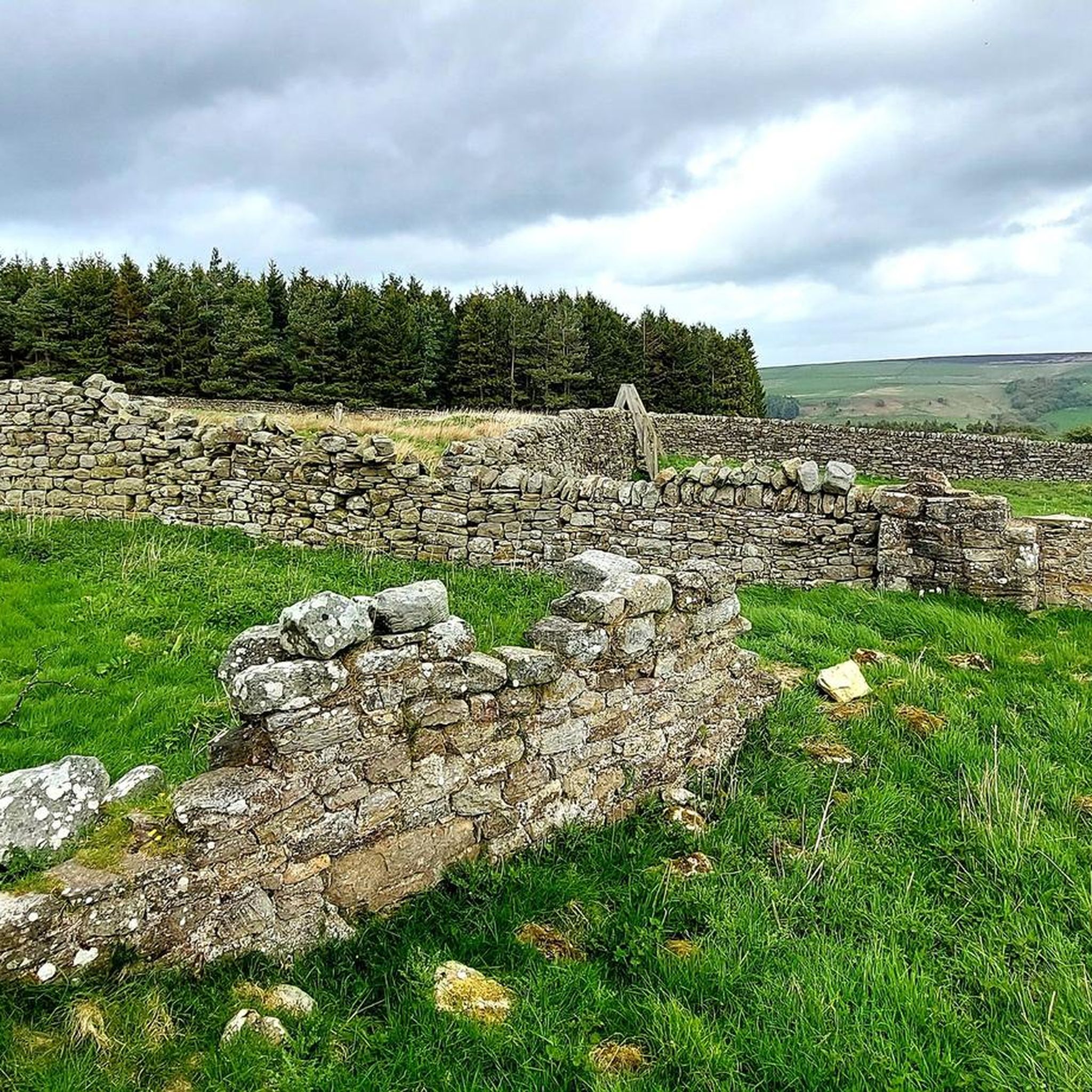
Cycling around Wolsingham Park Moor Lands Cmn To Stanhope, Tow Law And Wolsingham
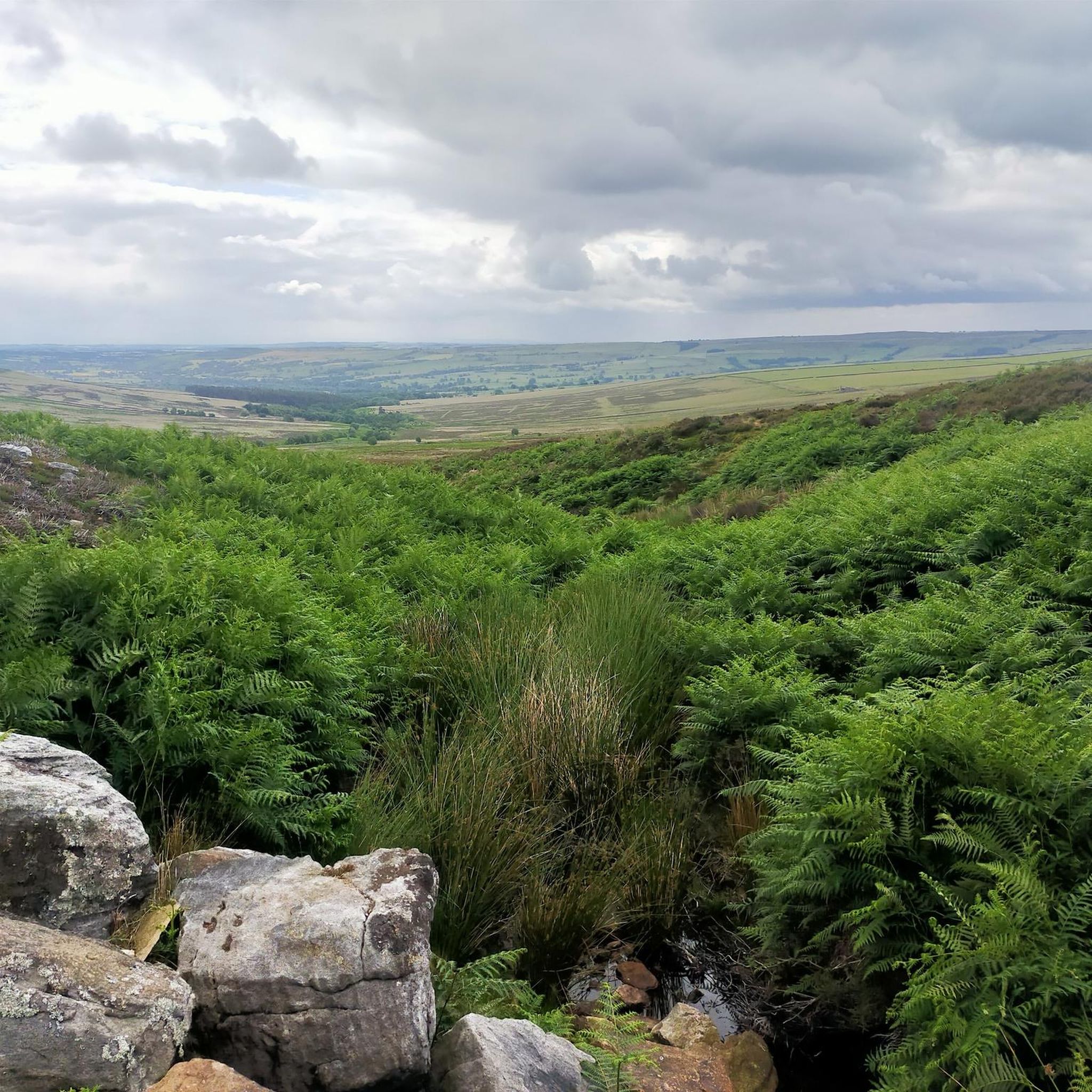
Road Cycling Routes around Wolsingham Park Moor Lands Cmn To Stanhope, Tow Law And Wolsingham
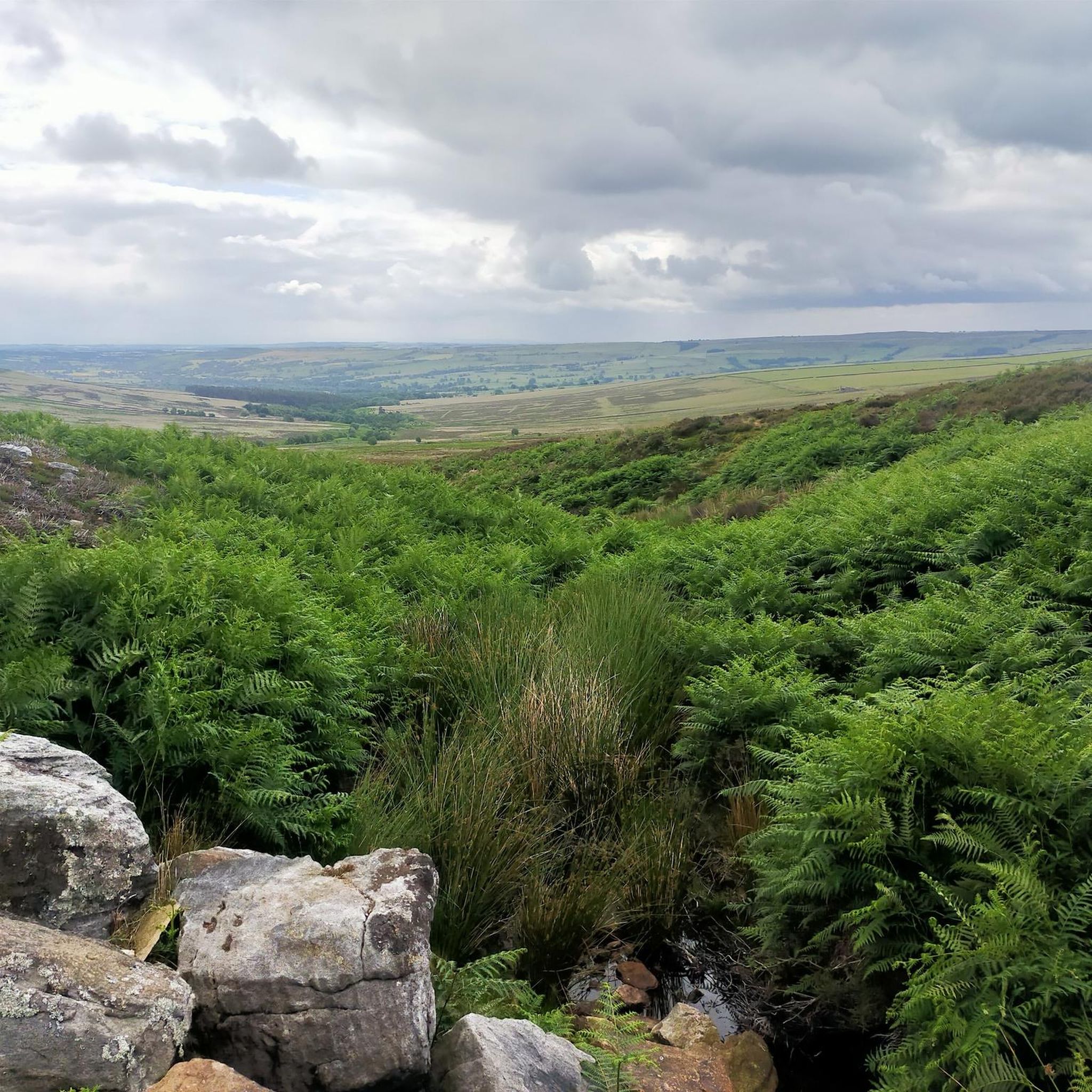
Running Trails around Wolsingham Park Moor Lands Cmn To Stanhope, Tow Law And Wolsingham

Gravel biking around Wolsingham Park Moor Lands Cmn To Stanhope, Tow Law And Wolsingham
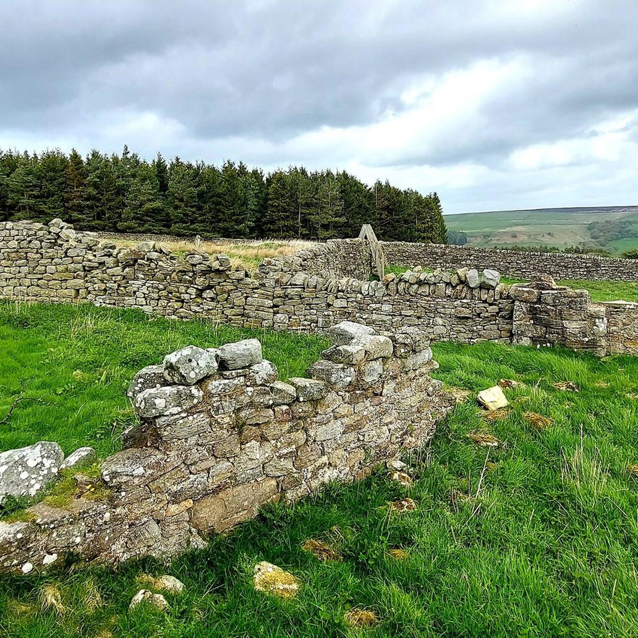
MTB Trails around Wolsingham Park Moor Lands Cmn To Stanhope, Tow Law And Wolsingham
Tips from the Community


lovely walk around the reservoir great places for bird watching saw a kingfisher last time i was there.
0
0

The Wear catchment stretches from the eastern North Pennines to the North Sea coast, encompassing the majority of County Durham. The river is formed at Wearhead, from the confluence of Burnhope and Killhope Burns, and flows east through Weardale to Bishop Auckland before turning north and flowing through Durham and Chester-le-Street before reaching the sea at Sunderland.
0
0
The Weardale Railway is an 18 mile heritage line running from a connection with the main rail network at Bishop Auckland to Eastgate in Weardale, County Durham, an Area of Outstanding Natural Beauty. Currently a 16 mile section of line between Bishop Auckland and Stanhope has been restored for passenger and freight use.
0
0
Above Weardale, between Frosterley and Wolsingham are a bunch of trees that are supposed to resemble an elephant. I think a few years ago, a storm caused damage to the trees and now a bit of imagination is needed.
1
0

There are plenty of frogs out this time of the year for sexy times so be careful where you step lol
0
0


The Forgotten Quarry (also known as Fine Burn Quarry) is a superb place for a walk during any season. This former limestone quarry forms a part of the Weardale Way, a long-distance footpath that follows the River Wear's journey from the Durham Dales to the North Sea, or vice versa. The path follows the course of a former railway track used to transport the mined limestone. Here, Bollihope Burn – a tributary of the River Wear, tumbles through woodland – creating a haven for wildlife.
0
0
Frequently Asked Questions
How many hiking trails are available in the Wolsingham Park Moor Lands area?
The Wolsingham Park Moor Lands region offers a wide selection of hiking routes, with over 180 trails to explore. These range from easy strolls to more challenging moorland excursions, ensuring options for various fitness levels.
Are there easy hiking options suitable for beginners or families?
Yes, the area has many easy routes perfect for beginners or families. For example, the Tunstall Reservoir Circular Walk is an easy 2.0-mile (3.2 km) trail offering gentle paths around the reservoir. There are over 70 easy routes in total.
What kind of terrain can I expect on hikes around Wolsingham Park Moor Lands?
Hikers can expect a diverse landscape featuring open moorland, tranquil river valleys, and historical industrial features. The terrain varies from gentle riverside paths to more elevated moorland trails, often incorporating old railway lines and quarry areas.
Are there any circular walks in the region?
Yes, many routes in the Wolsingham Park Moor Lands are circular, allowing you to start and end at the same point. Popular options include the Tunstall Reservoir Circular Walk and the Old Lime Kilns – Bollihope Limestone Quarry loop from Frosterley.
Can I bring my dog on the trails?
Many trails in the Wolsingham Park Moor Lands are dog-friendly, but it's always advisable to keep dogs on a lead, especially when crossing farmland or during lambing season. Be mindful of livestock and local signage. Always carry water for your dog.
What historical sites or natural landmarks can I see while hiking?
The region is rich in historical and natural landmarks. You can explore sites like the Sikehead Dam and the Jeffrey Smelt Mill chimney, or the historical lime kilns and limestone quarry areas found on routes like the Old Lime Kilns loop. Natural features include various reservoirs such as Hisehope Reservoir and several prominent peaks like Bolt's Law summit.
Is public transport available to reach hiking starting points?
Public transport options to reach trailheads in the Wolsingham Park Moor Lands area can be limited, especially for more remote moorland routes. It's recommended to check local bus schedules for services to towns like Stanhope and Wolsingham, which may serve as starting points for some trails.
Where can I find parking for the trails?
Parking is generally available in and around the main towns like Wolsingham and Stanhope, often near village centers or designated car parks. For specific trailheads, roadside parking might be an option, but always ensure you are not obstructing access or private property.
What is the best time of year to go hiking in Wolsingham Park Moor Lands?
Spring and summer offer the most pleasant conditions for hiking, with warmer weather and blooming wildflowers. Autumn provides beautiful colours across the moorland. Winter hiking is possible but requires appropriate gear due to potentially cold, wet, and windy conditions, especially on exposed moorland.
Are there options for longer, more challenging hikes?
Yes, for those seeking a challenge, there are difficult routes available. An example is the Hill End – Bollihope Limestone Quarry loop from Frosterley, which spans 11.0 miles (17.7 km) with significant elevation gain. In total, there are 16 difficult routes in the area.
What do other hikers say about the trails in this area?
The trails in Wolsingham Park Moor Lands are highly rated by the komoot community, with an average score of 4.5 stars from over 450 reviews. Hikers often praise the diverse scenery, from open moorland vistas to peaceful riverside paths, and the historical points of interest along the way.
Are there any pubs or places to eat near the hiking routes?
Yes, the towns and villages within and around the Wolsingham Park Moor Lands, such as Wolsingham and Stanhope, offer various pubs, cafes, and eateries where you can refuel after your hike. These establishments often provide a welcoming atmosphere and local fare.
Are there any accessible trails for those with mobility considerations?
While many trails involve varied terrain, some of the easier, flatter paths, particularly those around reservoirs or along old railway lines, may be more suitable for individuals with mobility considerations. Always check specific route details for surface conditions and gradients.
Most popular routes around Wolsingham Park Moor Lands Cmn To Stanhope, Tow Law And Wolsingham
Most popular attractions around Wolsingham Park Moor Lands Cmn To Stanhope, Tow Law And Wolsingham

Get inspired with the komoot mobile app


Explore more
Browse the best Hikes in other regions.
