The best mountain hikes around Lamplugh
5.0
(2)
23
hikers
7
hikes
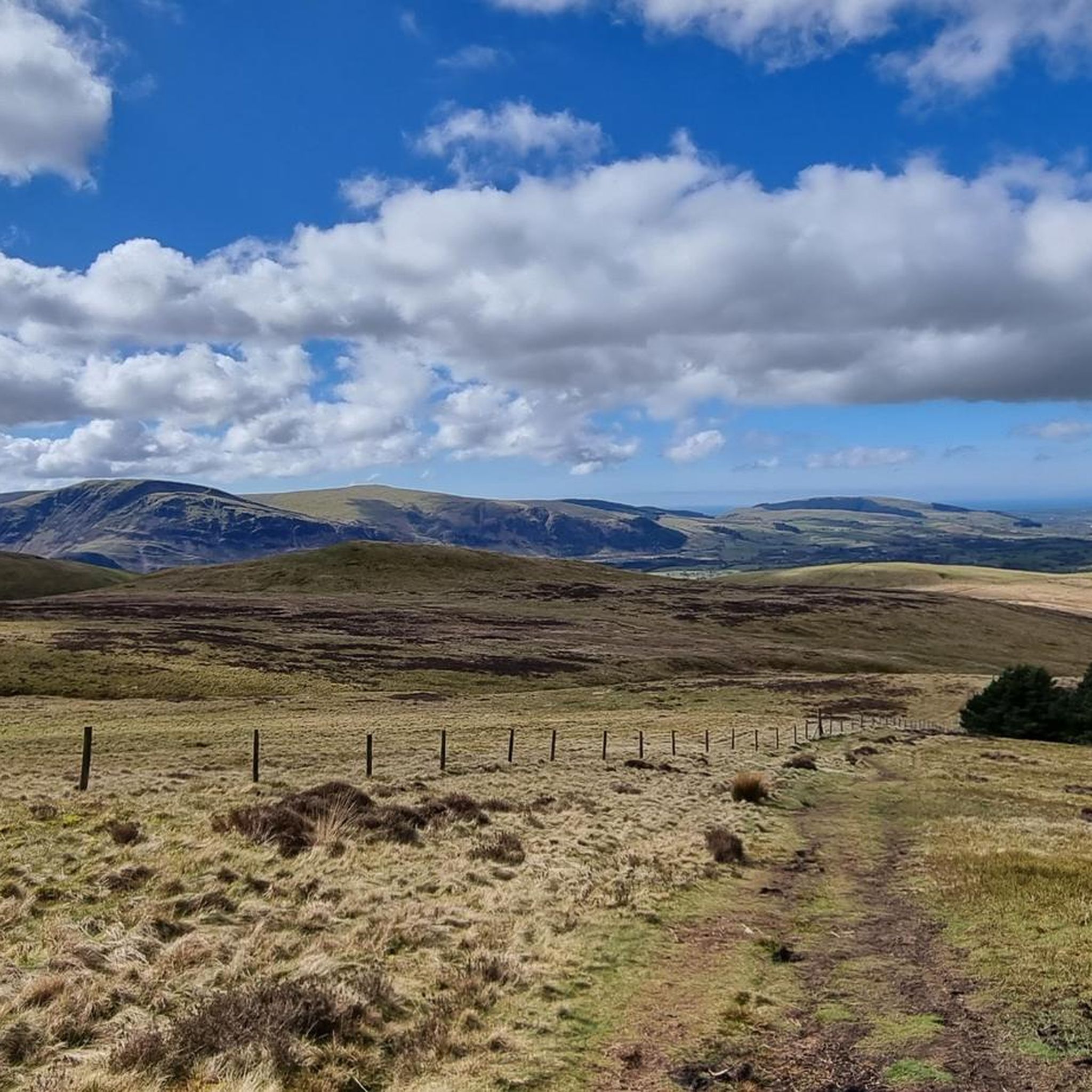
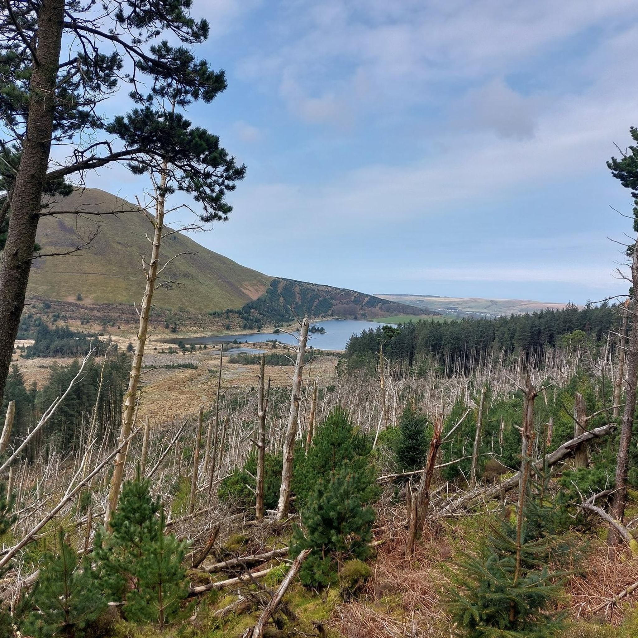
Mountaineering routes around Lamplugh traverse the rugged fells and valleys of the western Lake District. The landscape is characterized by prominent peaks, deep tarns, and challenging rocky ascents, offering a true mountain experience. This area provides access to high-level routes with significant elevation gain, often featuring exposed sections and panoramic views of the surrounding Cumbrian landscape. The terrain demands good navigation skills and appropriate gear for varied conditions.
Best mountaineering routes around Lamplugh
- The most popular mountaineering route is Whiteless…
Last updated: September 28, 2026
5
hikers
16.6km
06:47
970m
980m
Hard mountaineering route. Very good fitness required. Sure-footedness, sturdy shoes and alpine experience required.
5.0
(1)
4
hikers
7.42km
03:02
490m
480m
Moderate mountaineering route. Good fitness required. Mostly accessible paths. Sure-footedness required.

5.0
(1)
6
hikers
13.1km
06:03
880m
880m
Hard mountaineering route. Very good fitness required. Sure-footedness, sturdy shoes and alpine experience required.
3
hikers
15.0km
05:46
770m
770m
Hard mountaineering route. Very good fitness required. Sure-footedness, sturdy shoes and alpine experience required.
4
hikers
12.7km
05:38
780m
780m
Hard mountaineering route. Very good fitness required. Sure-footedness, sturdy shoes and alpine experience required.
Get access to more routes and recommendations from other explorers.
Already have an account?
Our route recommendations are based on thousands of hikes, rides, and runs completed by other people on komoot.
Start today with a free account
Your next adventure awaits.

Other adventures around Lamplugh

Tips from the Community

A great ridge to climb from Lanthwaite. Rising to Whiteside and then Hopegill Head. A return journey can be made via any of the North western routes to return into the Buttermere/Crummock valley
0
0

Stunning views almost 360 Crummock water is beautiful. The western side is quieter.
0
0
The list on the scree climb has a vibrant red colour hence the name of the pike. Worth the steep hike up!
0
0
On a clear day, this summit offers 360 views towards Ennerdale and to Buttermere,
0
0
Stunning views overlooking Crummock Water and Buttermere. From here you can descend down the back and have many options to continue your route.
1
0


You can get to the viewpoint a couple different ways. If you turn left just before the top onto the smaller path, there is a part you can do some scrambling on.
0
0
Frequently Asked Questions
How many mountaineering routes are available around Lamplugh?
There are 9 mountaineering routes documented around Lamplugh, offering a range of moderate to difficult challenges for experienced hikers.
Are there any easy mountaineering routes in Lamplugh?
The mountaineering routes around Lamplugh are generally considered moderate to difficult, with significant elevation gain and challenging terrain. There are no routes classified as 'easy' in this guide, catering primarily to experienced mountaineers.
What are some challenging mountaineering routes in the Lamplugh area?
For a challenging experience, consider the Whiteless Pike – Rannerdale Knotts loop from Crummock Water, which is 9.9 miles (15.9 km) with nearly 950 meters of ascent. Another demanding option is the Haystacks (598 m) – Grey Crag Climbing Routes loop from Gatesgarth, covering 8.3 miles (13.3 km) with over 870 meters of elevation gain.
Are there circular mountaineering routes around Lamplugh?
Yes, many of the mountaineering routes around Lamplugh are circular. Examples include the popular Whiteless Pike – Rannerdale Knotts loop from Crummock Water and the Haystacks (598 m) – Blackbeck Tarn loop from Gatesgarth.
What kind of terrain can I expect on mountaineering routes near Lamplugh?
The terrain around Lamplugh is characterized by rugged fells, deep tarns, and challenging rocky ascents. You can expect significant elevation gain, often with exposed sections, offering panoramic views of the surrounding Cumbrian landscape. Good navigation skills and appropriate gear are essential for varied conditions.
What are the typical durations for mountaineering trails around Lamplugh?
The duration for mountaineering trails around Lamplugh varies depending on the route's length and difficulty. For example, the Haystacks (598 m) – Blackbeck Tarn loop from Gatesgarth typically takes around 3 hours, while the more demanding Whiteless Pike – Rannerdale Knotts loop from Crummock Water can take over 6 hours.
What attractions or landmarks can I see along the mountaineering routes?
Along the routes, you can encounter stunning natural landmarks. Many trails pass by beautiful tarns and offer views of prominent peaks like Grisedale Pike or Haystacks Summit. You might also find impressive waterfalls such as Sourmilk Gill Waterfall or Scale Force Waterfall nearby.
What is the best time of year for mountaineering in Lamplugh?
The best time for mountaineering in Lamplugh is typically from late spring to early autumn (May to October) when the weather is generally more stable, and daylight hours are longer. However, conditions can change rapidly in the fells, so always be prepared for all types of weather.
What gear should I bring for mountaineering in the Lamplugh fells?
Given the challenging and exposed nature of the Lamplugh fells, it's crucial to bring appropriate gear. This includes sturdy hiking boots, waterproof and windproof clothing, navigation tools (map, compass, or GPS device), sufficient food and water, a first-aid kit, and extra layers. Always check the weather forecast before heading out.
Are there options for less crowded mountaineering routes in Lamplugh?
While some routes, especially those accessing popular peaks, can see more foot traffic, exploring trails slightly off the main tourist paths can offer a quieter experience. Consider routes that start from less common access points or those that venture into more remote valleys to find solitude.
Is mountaineering around Lamplugh suitable for families?
Mountaineering routes around Lamplugh are generally geared towards experienced individuals due to their moderate to difficult ratings, significant elevation, and often exposed sections. They may not be suitable for young children or families seeking easy, gentle walks. Families with older, experienced teenagers might find some of the moderate routes manageable with proper preparation.
Where can I find parking for accessing the Lamplugh fells?
Parking for accessing the Lamplugh fells is typically available at key trailheads and villages such as Gatesgarth or Buttermere. Specific parking details can often be found on individual route descriptions on komoot or local information boards. Be aware that parking can be limited, especially during peak season.
Are there any wild swimming spots near the Lamplugh fells?
The Lake District is known for its beautiful tarns and lakes, some of which offer opportunities for wild swimming. While specific spots directly on mountaineering routes may vary, nearby bodies of water like Crummock Water or Buttermere are popular choices for a refreshing dip after a long hike. Always check local regulations and safety advice before swimming.
What do other mountaineers say about the routes in Lamplugh?
The mountaineering routes in Lamplugh are highly rated by the komoot community, with an average score of 5.0 stars from over 2 reviews. Users often praise the dramatic scenery, challenging ascents, and the rewarding panoramic views from the summits.
Most popular routes around Lamplugh
Most popular attractions around Lamplugh

Get inspired with the komoot mobile app


Explore more
Browse the best Mountain Hikes & Routes in other regions.
