The best road cycling routes around Lamplugh
4.6
(71)
5,447
riders
210
rides
Road cycling routes around Lamplugh navigate a landscape characterized by rolling hills, deep valleys, and the proximity to several major lakes such as Loweswater, Crummock Water, and Ennerdale Water. The terrain includes both open roads with scenic vistas and sections that pass through forested areas. Elevation changes are common, offering varied challenges for road cyclists.
Best road cycling routes around Lamplugh
- The most popular road cycling route is Loweswater – View of Loweswater loop from Lamplugh, a 26.0 miles…
Last updated: May 13, 2026
5.0
(2)
53
riders
41.8km
01:52
420m
420m
Moderate road ride. Good fitness required. Mostly well-paved surfaces and easy to ride.
26
riders
60.1km
03:03
760m
760m
Moderate road ride. Good fitness required. Mostly well-paved surfaces and easy to ride.

Sign up for free
18
riders
24.8km
01:13
320m
320m
Moderate road ride. Good fitness required. Mostly well-paved surfaces and easy to ride.
5.0
(2)
17
riders
37.7km
02:06
740m
740m
Moderate road ride. Good fitness required. Mostly well-paved surfaces and easy to ride.
5.0
(1)
16
riders
Moderate road ride. Good fitness required. Some segments of this route may be unpaved and difficult to ride.
Get access to more routes and recommendations from other explorers.
Sign up for free
Already have an account?
Our route recommendations are based on thousands of hikes, rides, and runs completed by other people on komoot.
Start today with a free account
Your next adventure awaits.
Login or Signup

Other adventures around Lamplugh

Tips from the Community

Busy in the summer and peak times but dog friendly and delicious food/drinks.
0
0

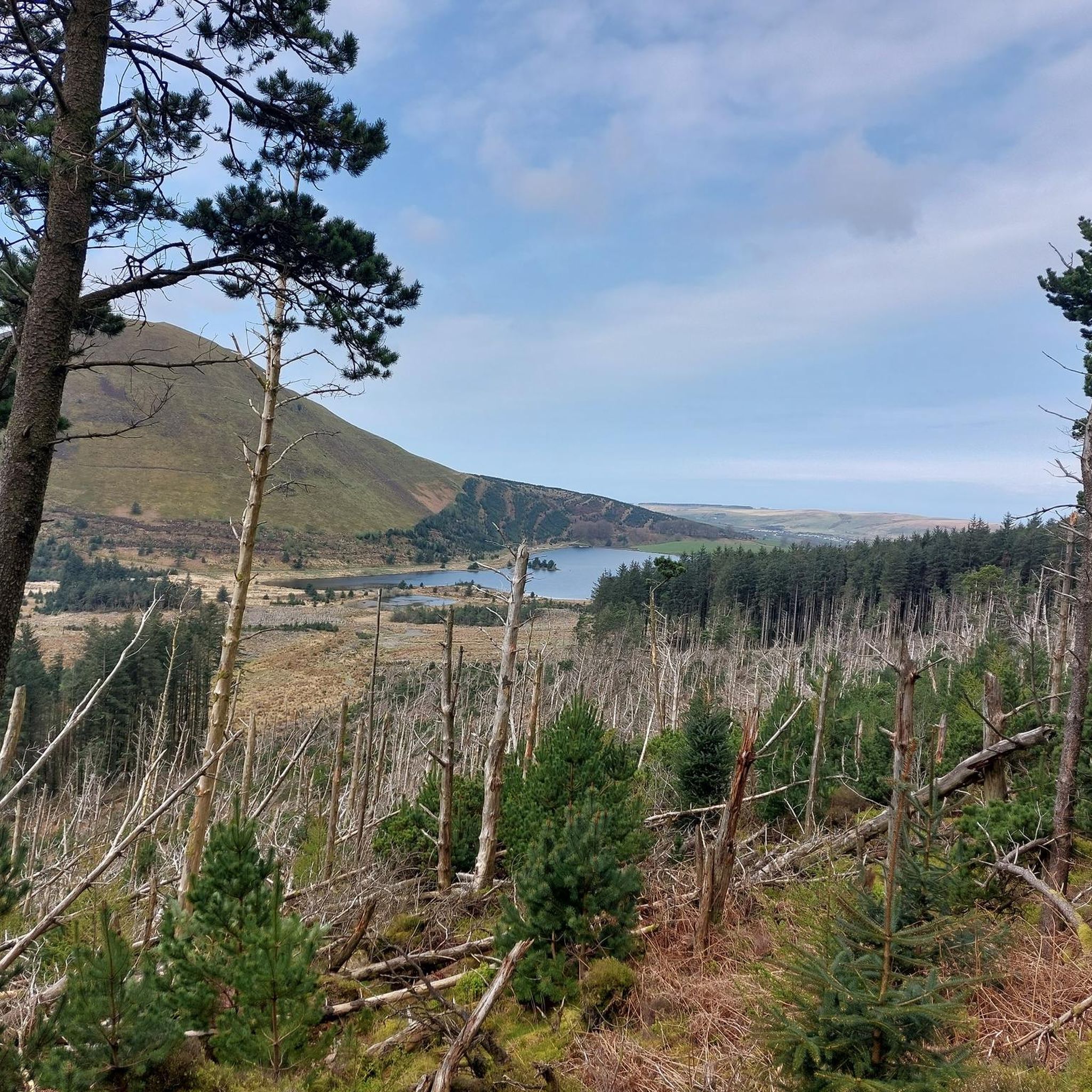
Amazing scenery of the lake and fells, good place for photos
0
0

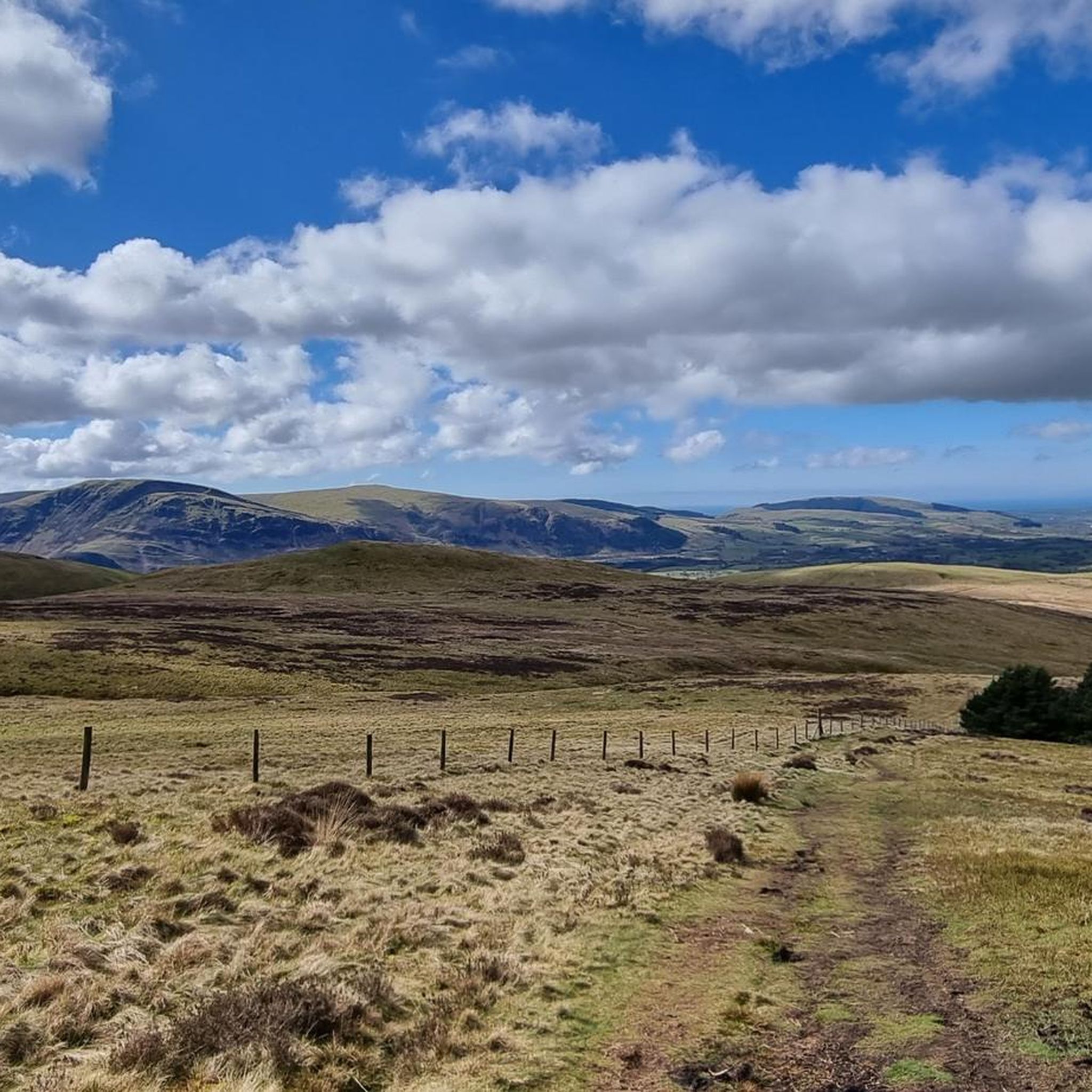
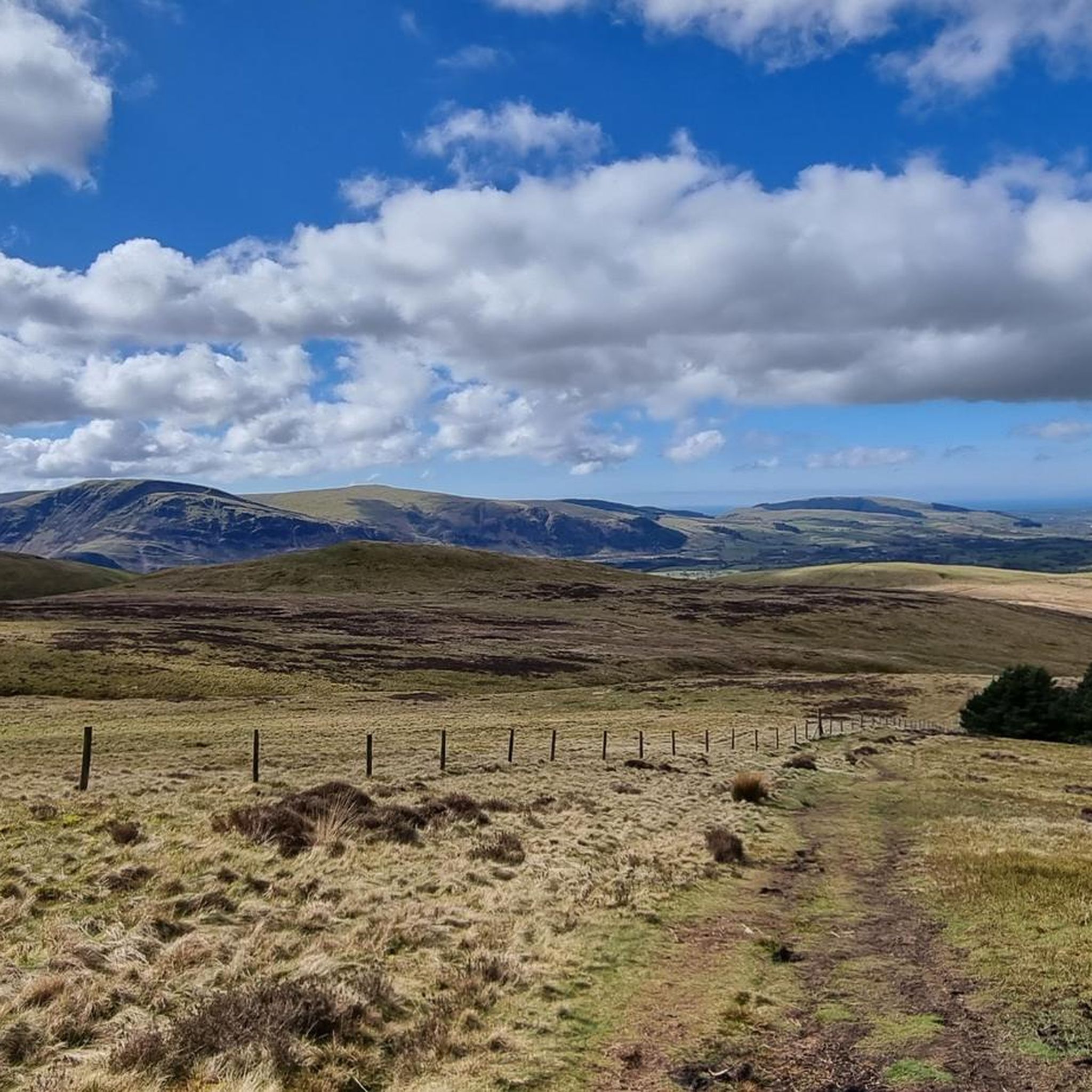
Great sight ahead, you can see the clouds covering the mountain tops, slightly below there is a snow capped line. This was November 19th 2024 when the photo was taken, temperature was zero at ride height
0
0
The first 5 or so mile has a good purpose built cycleway / path which has not real climbs, like a steady blue graded trail. This allows you to quickly get some distance in and provides for a quite quick trail
0
0
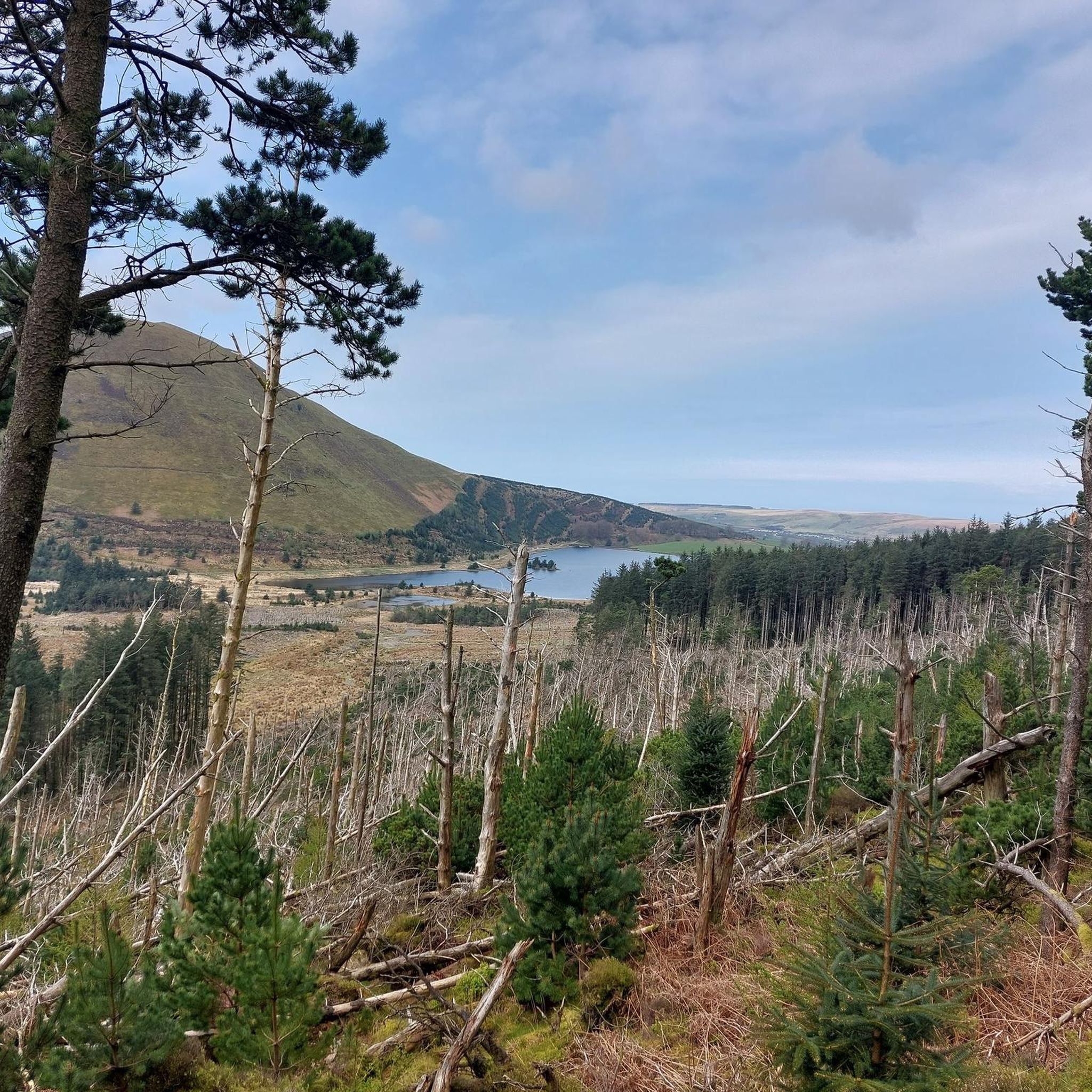
The lake is fed by numerous streams including the beck from Scale Force. The River Cocker starts from here, flowing towards Cockermouth where it joins the River Derwent.
0
0

Steapest section isn't too long! Well worth it for the views, easier than the other side. 😉
0
0
Frequently Asked Questions
How many road cycling routes are available around Lamplugh?
There are over 200 road cycling routes available in the Lamplugh area, offering a wide range of options for different skill levels and preferences.
Are there road cycling routes suitable for beginners in Lamplugh?
Yes, Lamplugh offers nearly 50 easy road cycling routes, perfect for beginners or those looking for a more relaxed ride. These routes typically feature gentler gradients and shorter distances.
What options are there for experienced road cyclists seeking a challenge?
Experienced road cyclists will find around 30 difficult routes in the Lamplugh area. These often include significant elevation changes and longer distances, such as the challenging Newlands Hause Pass – Crummock Water loop from Dean, which features over 700 meters of ascent.
What scenic viewpoints can I expect on road cycling routes near Lamplugh?
Many routes offer stunning views of the surrounding lakes and fells. You can enjoy vistas like the View of Buttermere and Crummock Water from Rannerdale Knotts, or the serene beauty of Ennerdale Water. The Loweswater – View of Loweswater loop from Lamplugh is specifically noted for its views of Loweswater.
Are there any interesting landmarks or natural features to see along the routes?
Beyond the lakes, you might encounter features like the Crag Fell Summit or the historic Holme Wood Bothy and the beach at Loweswater. The region is also home to several mountain passes, including Newlands Pass and Scarth Gap Pass, which offer dramatic scenery.
Are there any circular road cycling routes in the Lamplugh area?
Yes, many of the routes around Lamplugh are circular, allowing you to start and finish in the same location. Examples include the Crummock Water Balcony Road – Crummock Water loop from Ullock and the View of Ennerdale Water – View of Ennerdale loop from Lamplugh.
What are the typical distances for road cycling routes around Lamplugh?
Route distances vary significantly. You can find shorter rides like the View of Ennerdale Water loop at about 15 miles (24 km), up to longer excursions such as the Crummock Water Balcony Road loop, which covers over 35 miles (56 km).
What do other road cyclists enjoy most about cycling in Lamplugh?
The area is highly rated by the komoot community, with an average score of 4.6 stars from over 70 reviews. Reviewers often praise the stunning lake views, the variety of rolling hills, and the diverse terrain that caters to different ability levels.
What is the best time of year for road cycling in Lamplugh?
Spring and summer generally offer the most pleasant conditions for road cycling in Lamplugh, with longer daylight hours and milder temperatures. However, the Lake District weather can be unpredictable, so it's always wise to check the forecast before heading out.
Are there cafes or places to stop for refreshments on the road cycling routes?
While specific cafes are not listed for every route, the villages and towns surrounding Lamplugh, such as Loweswater and Ullock, often have local pubs or small cafes where cyclists can stop for refreshments. Planning your route to pass through these spots is recommended.
Where can I find parking for road cycling routes in Lamplugh?
Parking is typically available in or near the starting points of many routes, often in village car parks or designated lay-bys. For routes starting from Lamplugh itself, local parking options would be the most convenient. Always check local signage for any restrictions.
Can I find family-friendly road cycling routes in Lamplugh?
While many routes involve some elevation, there are easier options that families might enjoy. Look for routes designated as 'easy' in difficulty, which tend to have less challenging terrain and shorter distances, making them more suitable for family outings.
Most popular routes around Lamplugh
Most popular attractions around Lamplugh

Get inspired with the komoot mobile app


Explore more
Browse the best Road cycling routes in other regions.
