The best walks and hikes around Gresten-Land
4.6
(1838)
14,698
hikers
245
hikes
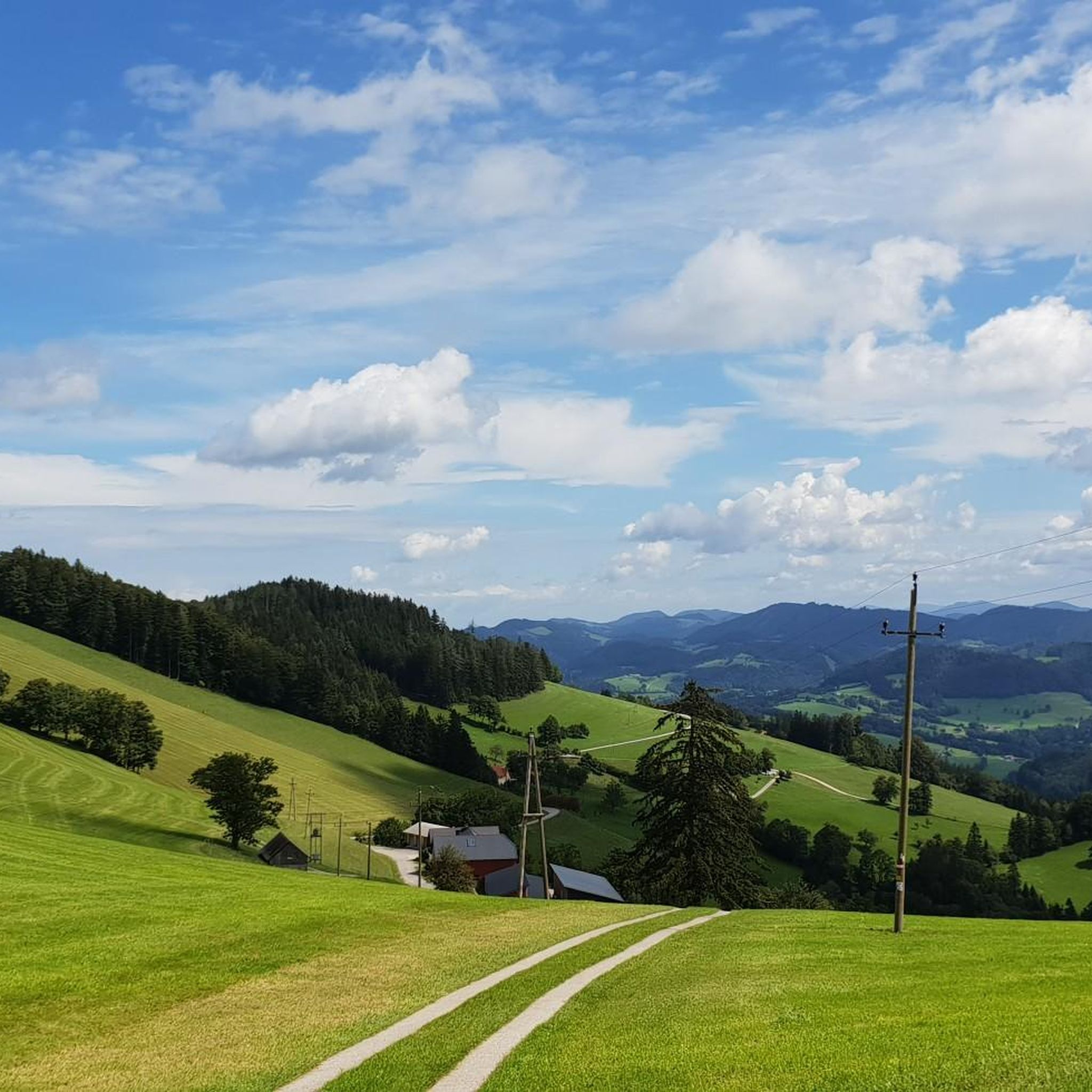
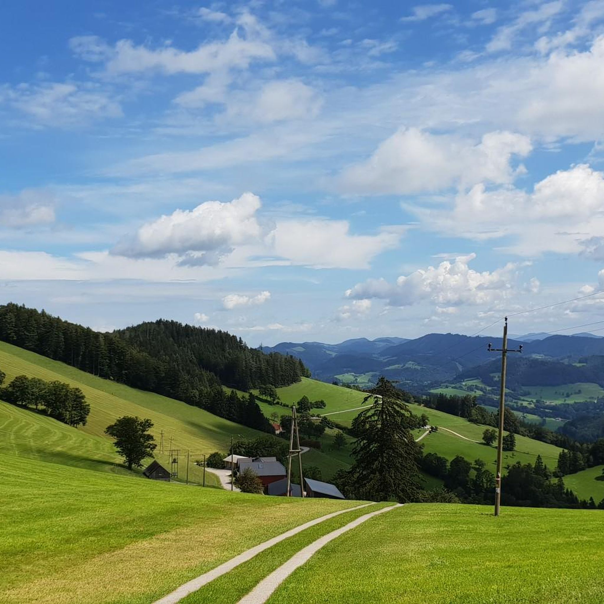
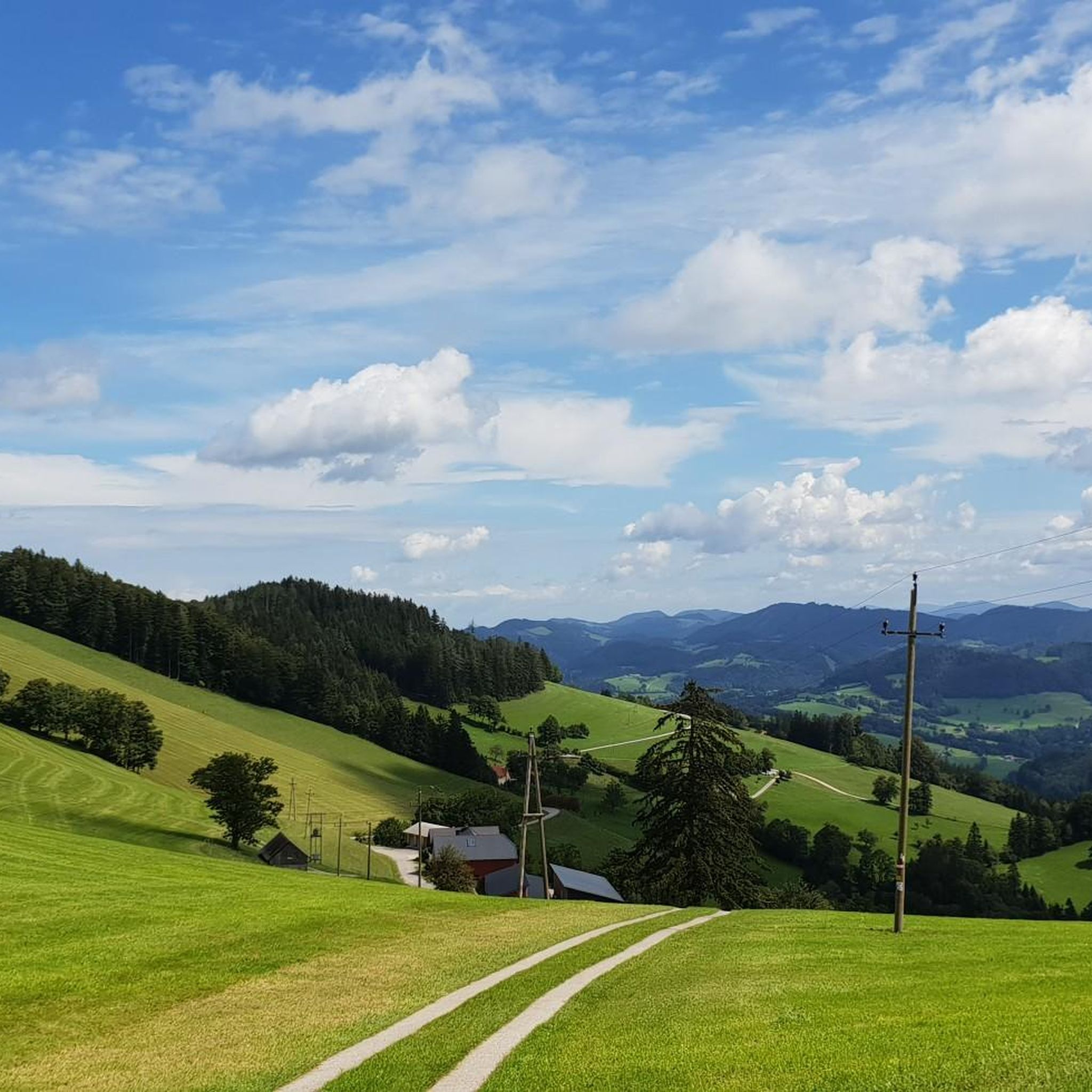
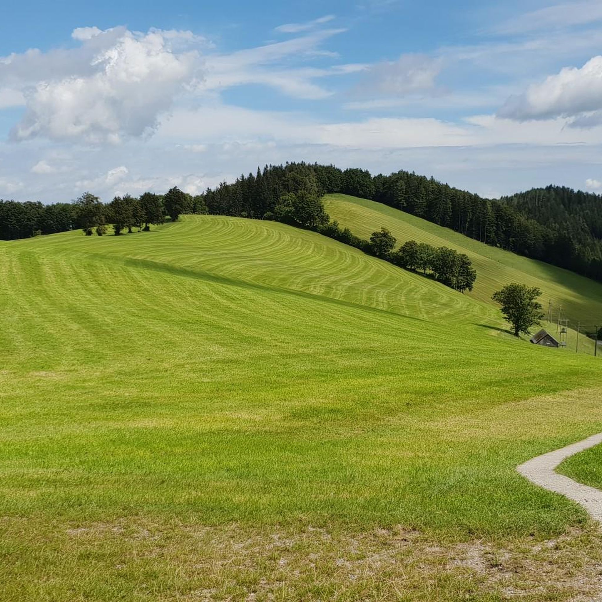
Hiking around Gresten-Land is characterized by its location within the northern foothills of the Türnitz and Ybbstal Alps, offering a diverse landscape with varying elevations. The region features numerous mountain peaks and hills, providing panoramic views across forests and valleys. Notable natural features include the Meridian Stone, marking a unique geographical intersection, and the scenic Erlaufschlucht. This varied terrain supports a wide array of hiking experiences.
Best hiking trails around Gresten-Land
- The most popular hiking route is Ötscherblick Hut –…
Last updated: October 5, 2026
4.6
(8)
47
hikers
12.3km
03:42
380m
380m
Moderate hike. Good fitness required. Easily-accessible paths. Suitable for all skill levels.
4.9
(8)
43
hikers
14.0km
04:26
540m
540m
Moderate hike. Good fitness required. Easily-accessible paths. Suitable for all skill levels.

4.6
(7)
37
hikers
Easy hike. Great for any fitness level. Easily-accessible paths. Suitable for all skill levels.
5.0
(3)
33
hikers
3.15km
00:58
120m
120m
Easy hike. Great for any fitness level. Easily-accessible paths. Suitable for all skill levels.
4.3
(4)
22
hikers
8.18km
02:32
310m
310m
Moderate hike. Good fitness required. Easily-accessible paths. Suitable for all skill levels.
Get access to more routes and recommendations from other explorers.
Already have an account?
Our route recommendations are based on thousands of hikes, rides, and runs completed by other people on komoot.
Start today with a free account
Your next adventure awaits.
Tips from the Community

The Reinsberg castle ruin is a venue for theater and concerts, but also a rewarding viewpoint over the whole valley
0
0

Here you can get cider, apple juice, mineral water and schnapps at fair prices :) and you can have a bit of fun while pedaling.
0
0
According to legend, the water from this well was once a healing spring, until a rich man, well, you know the legends... Today, it's not marked as drinking water because there's no guarantee that this water will always be of drinking quality.
0
1
A restaurant with excellent cuisine. Unfortunately, it's no longer open permanently, so it's best to inquire and reserve a table.
2
2

easy hike, beautiful view 👍
0
0

It is practically located along the official mountain bike route. It is quite a demanding climb up to this point, so it is a good idea to take a break here.
0
0

Iron sculptures are intended to remind us of the time of destruction of Slavic houses and farms. Sclavinia stands for the enslaved, oppressed and marginalized sections of the population of our time.
1
0
For some, a short rest on the way to Runzlberg.
1
0
Frequently Asked Questions
How many hiking trails are available in Gresten-Land?
Gresten-Land offers a wide selection of hiking routes, with over 240 trails available. These range from easy strolls to more challenging mountain ascents, ensuring options for various fitness levels.
Are there easy hiking trails suitable for beginners or families in Gresten-Land?
Yes, Gresten-Land has nearly 100 easy hiking trails. A good option for a shorter, family-friendly walk is the Hof Hochschlag – Runzelberg Summit Cross loop from Reinsberg, which leads through forested hills. Another easy route is the Beware of Grazing Livestock – TVN Summit on Schwarzenberg loop from Schwarzenberg.
What natural features or landmarks can I see while hiking in Gresten-Land?
The region is rich in natural beauty and unique landmarks. You can visit the Meridian Stone, which marks the intersection of the 15th degree of longitude and 48th degree of latitude, a popular resting spot. The Erlaufschlucht (Erlauf Gorge) offers scenic views, and various mountain peaks like Franzenreith and Prochenberg provide breathtaking panoramic vistas. The Prochenberg Summit Cross is a notable point of interest.
Are there any circular hiking routes in Gresten-Land?
Yes, many trails in Gresten-Land are designed as circular routes. For example, the Ötscherblick Hut – Mostbrunnen at Diensbergsattel loop from Gresten combines a mountain hut visit with a traditional cider fountain. Another popular loop is the Oberhausegg Chapel – TVN Summit on Schwarzenberg loop from Gresten, which takes you to the Schwarzenberg summit and its observation tower.
What do other hikers say about the trails in Gresten-Land?
The hiking trails in Gresten-Land are highly regarded by the komoot community, with an average rating of 4.6 stars from over 1,600 reviews. Hikers often praise the diverse landscape, well-maintained paths, and the stunning panoramic views from the various mountain peaks and viewpoints.
Are there places to eat or rest along the hiking trails?
Yes, Gresten-Land offers several huts and places for refreshment. The Prochenberg Hut is a well-known spot for rest and panoramic views. Other options include Kapler Alm and Runzelberghütte, providing opportunities to refuel during your hike.
Can I find historical sites or castles while hiking in the region?
Yes, the region has historical points of interest. The Reinsberg Castle ruins, for instance, offer beautiful views and are located along historical border and toll paths, providing a glimpse into the area's past.
Is there parking available at the trailheads in Gresten-Land?
While specific parking lot details vary by trailhead, Gresten-Land is generally well-equipped for hikers arriving by car. Many trailheads, especially those for popular routes, offer designated parking areas. It's advisable to check specific route information for the most accurate parking details.
Are there any long-distance hiking options in Gresten-Land?
Yes, parts of the 04 Voralpenweg (Pre-Alpine Trail) pass through Gresten-Land. This offers opportunities for experienced hikers to undertake longer stages, such as routes connecting Gresten to Waidhofen an der Ybbs or Plankenstein to Gresten.
What kind of terrain can I expect on the hiking trails in Gresten-Land?
Gresten-Land's terrain is diverse, characterized by its location in the northern foothills of the Türnitz and Ybbstal Alps. You can expect varying elevations, from gentle forested hills to more pronounced mountain ascents. Trails often traverse lush forests, open meadows, and offer views across valleys and towards prominent peaks like Ötscher and Dürrenstein.
Are there any specific themed hiking paths in Gresten-Land?
The region features several themed paths that offer unique experiences. These include routes like the Anzenberg, Alter Rauheisenweg, Goganz, Grestner Hochkogel, Panoramahöhenweg, Proviantweg, Ruinenweg, and Schwarzenberg, each providing a distinct focus or historical context to your hike.
Most popular attractions around Gresten-Land

Get inspired with the komoot mobile app


Explore more
Browse the best Hikes in other regions.
