The best road cycling routes around West Rounton
4.7
(84)
2,829
riders
98
rides
Road cycling around West Rounton offers a network of routes traversing the rural landscape of North Yorkshire. The region features a mix of rolling terrain, river valleys, and some notable climbs, providing varied experiences for road cyclists. Routes often follow quiet country roads, passing through villages and open countryside.
Best road cycling routes around West Rounton
- The most popular road cycling route is Over Dinsdale Bridge – Daffodil-Lined Lane loop from Hutton Rudby, a 30.8 miles (49.5 km) trail…
Last updated: July 8, 2026
40
riders
Moderate road ride. Good fitness required. Some segments of this route may be unpaved and difficult to ride.
5.0
(1)
35
riders
23.8km
01:02
100m
100m
Easy road ride. Great for any fitness level. Mostly well-paved surfaces and easy to ride.

Sign up for free
5.0
(1)
30
riders
34.1km
01:33
280m
280m
Easy road ride. Great for any fitness level. Mostly well-paved surfaces and easy to ride.
24
riders
32.8km
01:25
130m
130m
Easy road ride. Great for any fitness level. Mostly well-paved surfaces and easy to ride.
16
riders
32.9km
01:23
150m
150m
Easy road ride. Great for any fitness level. Mostly well-paved surfaces and easy to ride.
Get access to more routes and recommendations from other explorers.
Sign up for free
Already have an account?
Our route recommendations are based on thousands of hikes, rides, and runs completed by other people on komoot.
Start today with a free account
Your next adventure awaits.
Login or Signup
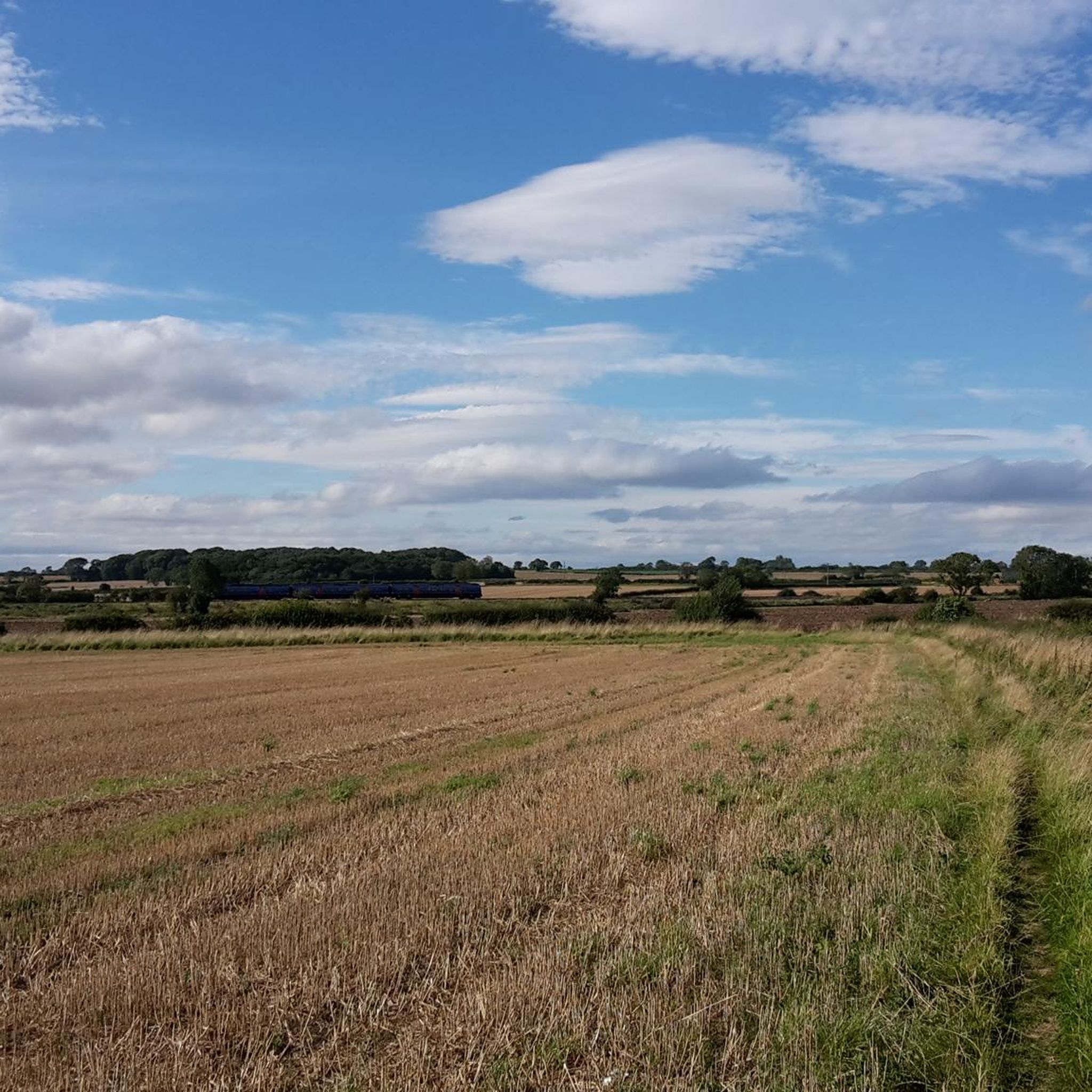
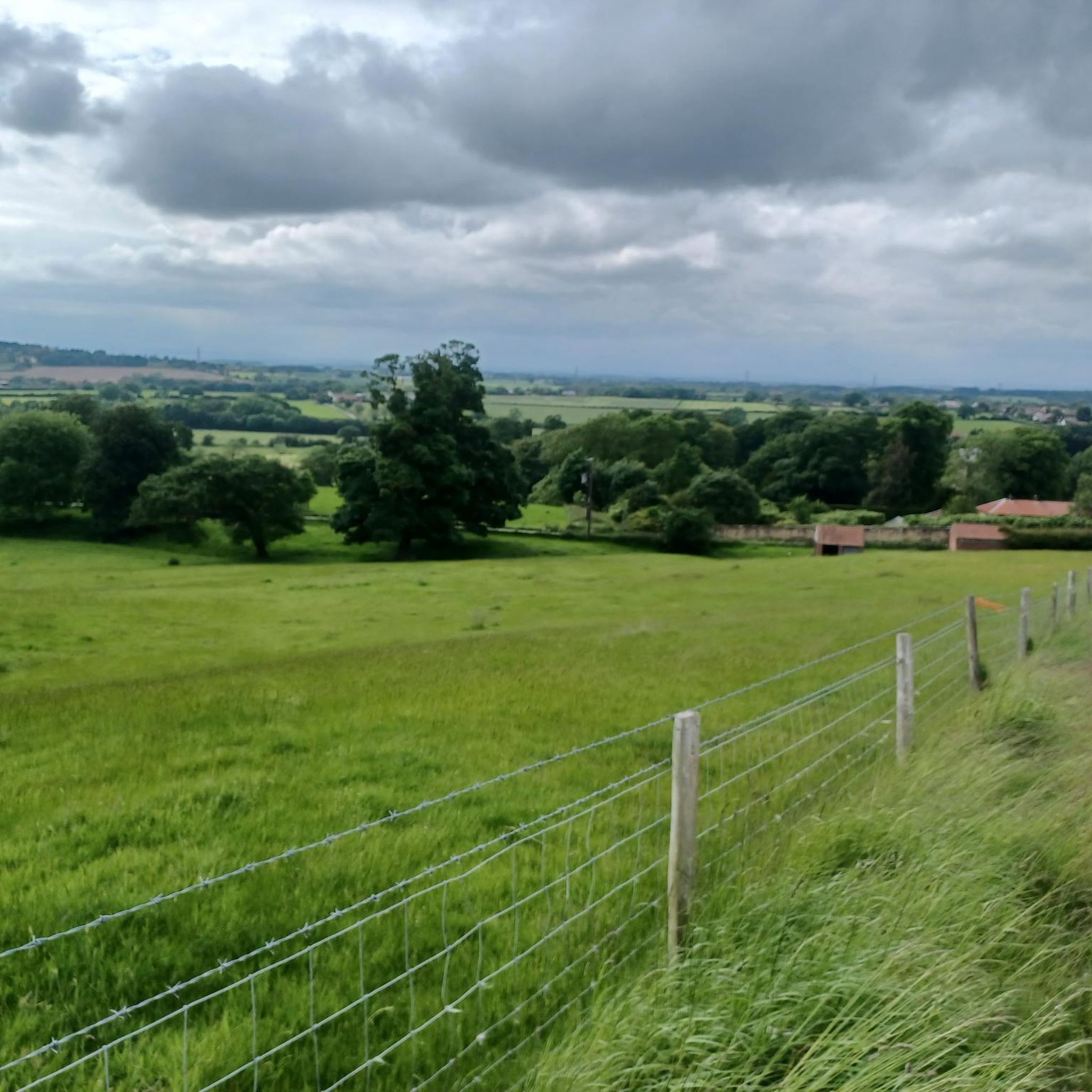
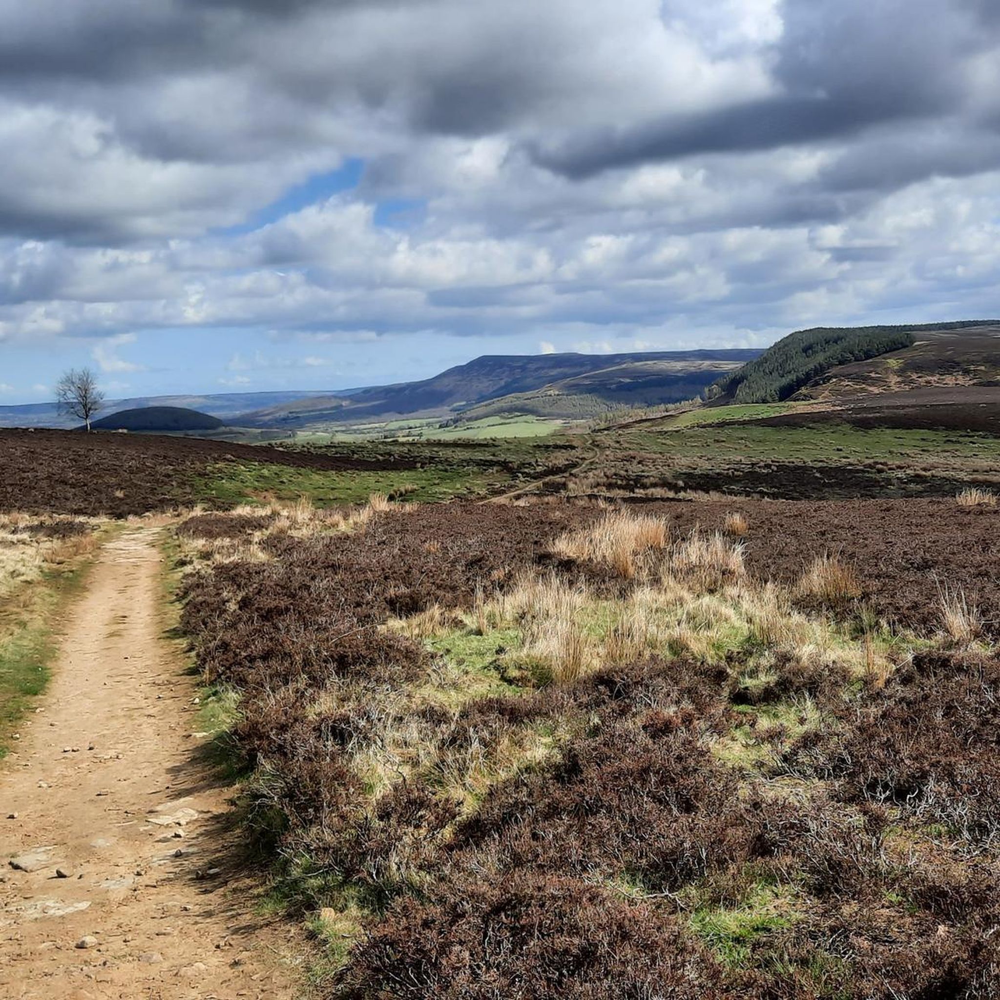
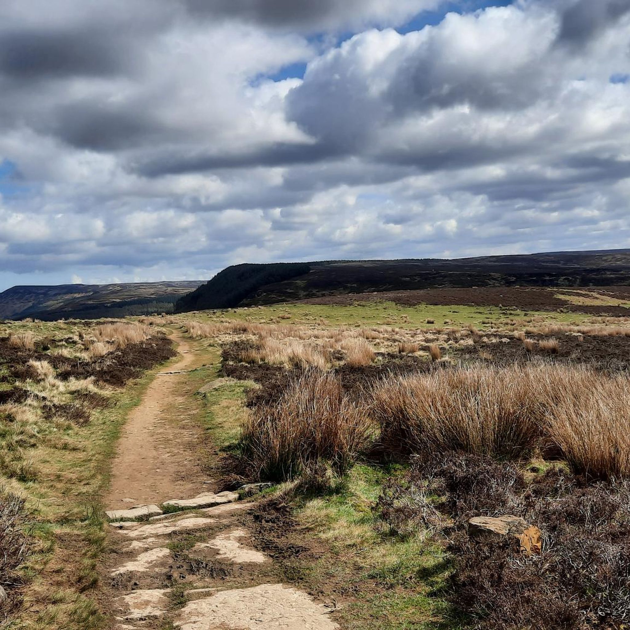
Tips from the Community

A great stop for food especially if heading up to Cod Beck as you will need the energy.
0
0

Preston's Pot is a notable cave located near Kettlewell in the Yorkshire Dales National Park, United Kingdom. The area offers a variety of hiking opportunities, including the Providence Pot and Great Whernside loop, which starts from Kettlewell [1]. This intermediate hike spans approximately 5.66 miles and features an elevation gain of about 1,575 feet, making it suitable for hikers with good fitness levels. The trail provides scenic views and passes by Providence Pot, another interesting cave in the region. It's advisable to wear sturdy footwear and be prepared for changing weather conditions, as the terrain can be challenging and the weather unpredictable. Always check local weather forecasts and trail conditions before setting out. [1] https://www.komoot.com/smarttour/e1375948090/providence-pot-and-great-whernside-loop-from-kettlewell-yorkshire-dales-national-park
0
0

A pleasant pit stop for pre or post ride fueling. Offers a breakfast and lunch menu along with sumptuous cakes and good coffee.
0
0


A stylish small market town on the River Leven. It is located in the Hambleton district of North Yorkshire.
0
0
The village of Hutton Rudby lies between the North Yorkshire market towns of Yarm and Stokesley and is close to the North York Moors National Park.
0
0

Frequently Asked Questions
What kind of terrain can I expect when road cycling around West Rounton?
Road cycling around West Rounton features a diverse landscape of rolling hills, quiet rural roads, and occasional challenging climbs. You'll find routes traversing river valleys and open countryside, offering varied experiences for all levels.
How many road cycling routes are available in the West Rounton area?
There are over 100 road cycling routes around West Rounton, catering to various abilities. This includes approximately 48 easy routes, 43 moderate routes, and 10 more difficult options.
Are there any easy road cycling routes suitable for beginners or a relaxed ride?
Yes, West Rounton offers several easy road cycling routes. One popular option is the Scarth Nick Climb – Cod Beck Reservoir loop from Hutton Rudby, which is about 31 km long and features a manageable elevation gain, making it ideal for a more relaxed ride.
Where can I find routes with significant climbs for a challenge?
For those seeking a challenge, the region includes routes with notable ascents. The Carlton Bank Climb – Hutton Rudby Village loop from Hutton Rudby specifically features the ascent of Carlton Bank, providing a more demanding section for experienced cyclists.
Are there any long-distance road cycling routes in West Rounton?
Yes, for longer rides, consider the Cod Beck Reservoir – Hall Lane Climb loop from Hutton Rudby. This route spans over 73 km and includes significant elevation gain, making it suitable for cyclists looking for an extended journey.
What are some scenic viewpoints or natural attractions along the road cycling routes?
Many routes offer scenic views. You might pass by natural landmarks such as Cod Beck Reservoir. For panoramic vistas, consider routes that approach Carlton Bank Summit Trig Point or the View from Beacon Hill Summit.
What do other road cyclists say about the routes in West Rounton?
The road cycling routes in West Rounton are highly regarded by the komoot community, with an average rating of 4.6 stars from over 80 reviews. Cyclists often praise the quiet country roads, varied terrain, and the scenic beauty of the North Yorkshire landscape.
Are there any circular road cycling routes available?
Most of the road cycling routes in West Rounton are designed as loops, allowing you to start and finish at the same point. An example is the Over Dinsdale Bridge – Daffodil-Lined Lane loop from Hutton Rudby, which offers a scenic circular ride.
What kind of historical or cultural landmarks can I see while cycling?
Beyond natural beauty, you can encounter historical elements like the Osmotherley Village Green and Medieval Cross, or even ancient sites such as the Miley Pike Hill Bronze Age Barrow on some routes.
Are there routes that connect different villages or key areas?
Yes, some routes are designed to connect local villages and points of interest. The Stokesley–Seamer Connector – Hutton Rudby Village loop from Ingleby Arncliffe is a good example, leading through rural villages and linking key areas in the region.
What is the best time of year for road cycling in West Rounton?
The spring and summer months generally offer the most favorable conditions for road cycling in West Rounton, with milder weather and longer daylight hours. However, the quiet country roads can be enjoyed year-round, with autumn providing beautiful foliage and winter offering crisp, clear rides on suitable days.
Most popular attractions around West Rounton

Get inspired with the komoot mobile app


Explore more
Browse the best Road cycling routes in other regions.
