The best walks and hikes around West Rounton
4.5
(625)
5,527
hikers
169
hikes
Hiking around West Rounton offers a variety of routes across a landscape characterized by gentle hills, open moorland, and river valleys. The area features paths that traverse agricultural land and provide views from elevated points like Beacon Hill. Trails often follow established footpaths through the countryside, connecting villages and natural features.
Best hiking trails around West Rounton
- The most popular hiking route is The White Swan, Danby Wiske – Ingleby Cross War Memorial loop from West Harlsey, a 18.2…
Last updated: September 1, 2026
4.1
(14)
166
hikers
Hard hike. Very good fitness required. Easily-accessible paths. Suitable for all skill levels.
4.4
(23)
293
hikers
Moderate hike. Good fitness required. Easily-accessible paths. Suitable for all skill levels.

Sign up for free
4.2
(18)
136
hikers
Hard hike. Very good fitness required. Easily-accessible paths. Suitable for all skill levels.
2.9
(12)
30
hikers
Moderate hike. Good fitness required. Easily-accessible paths. Suitable for all skill levels.
5.0
(4)
31
hikers
Moderate hike. Good fitness required. Easily-accessible paths. Suitable for all skill levels.
Get access to more routes and recommendations from other explorers.
Sign up for free
Already have an account?
Our route recommendations are based on thousands of hikes, rides, and runs completed by other people on komoot.
Start today with a free account
Your next adventure awaits.
Login or Signup
Tips from the Community

Stayed at one of the local pubs, was good but their internet connection was non-existent, had to pay for a 24hr hotspot with EE
0
0

You’ll have to jump over the wall and fence from the footpath to touch the trig pillar
0
0
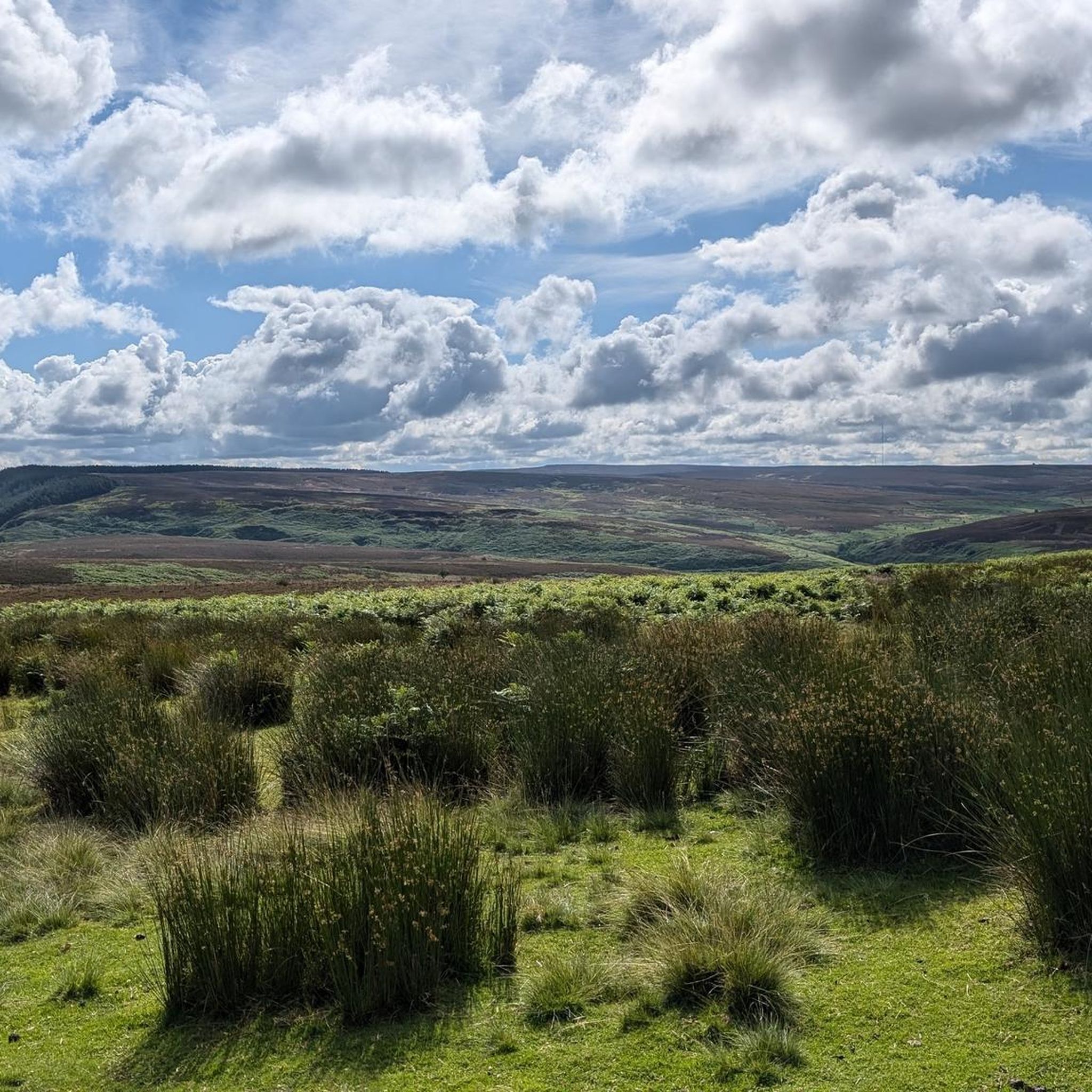
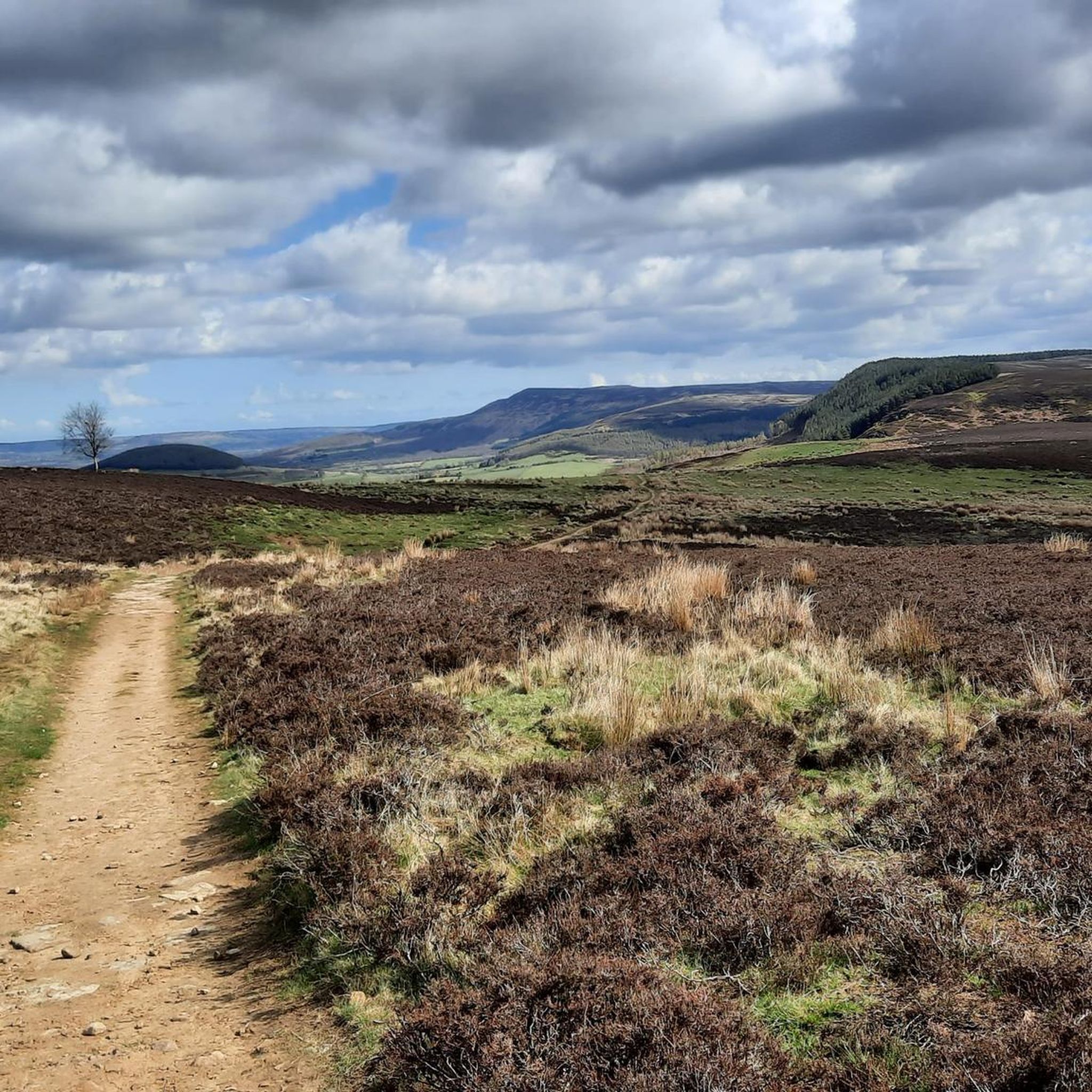
Expansive views full of heather with Roesberry Topping in the distance
1
0

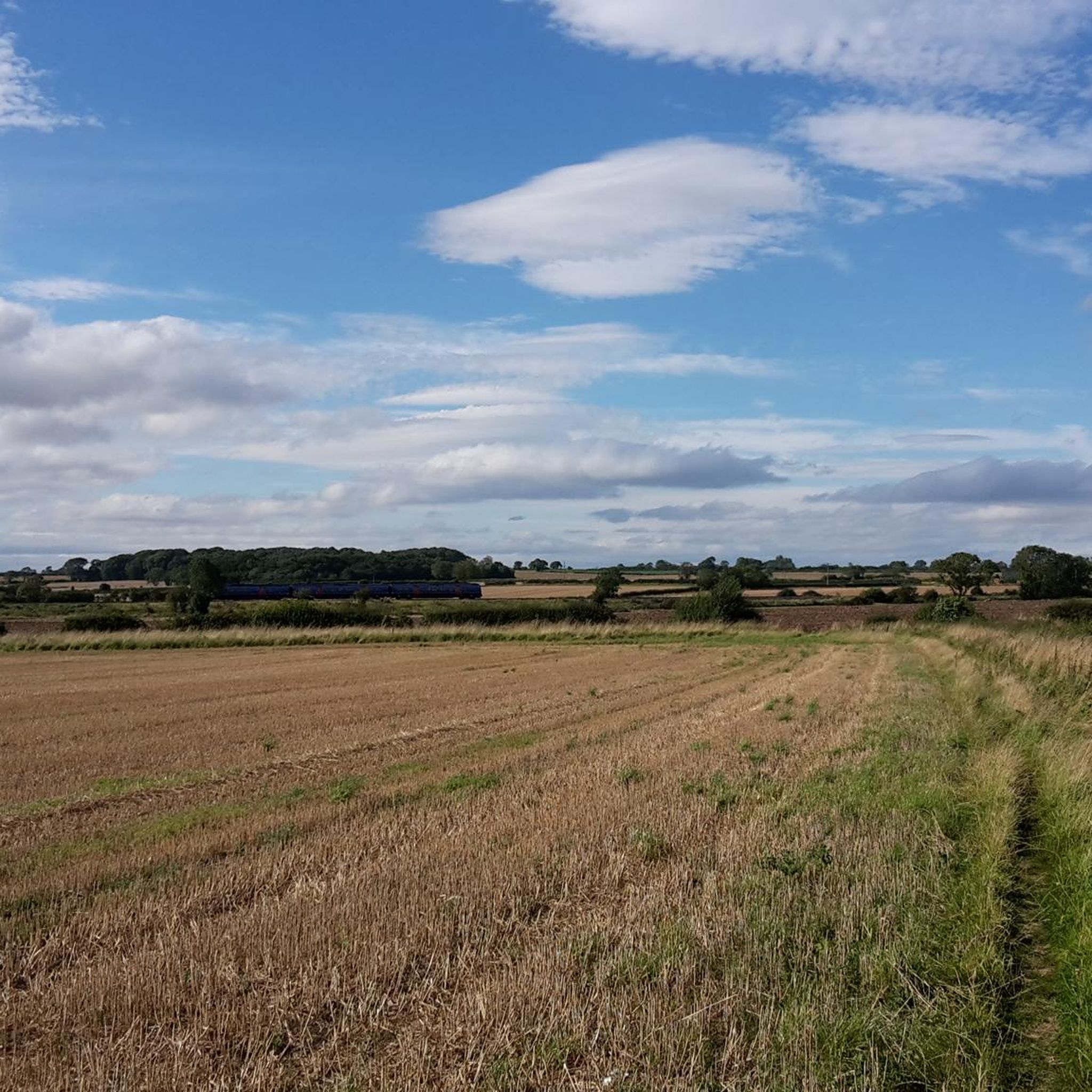
Lovely spot for a break directly next to the footpath with a good view over the Vale of Mowbray. Beware sometimes there is cattle.
0
0


Serene spot with several benches where you can have a quick pit stop or picnic. Just north of the chapel, where you rejoin the public footpath, there are sweeping views of the countryside to the west.
1
0
Quintessential North Yorkshire village, very picturesque with good amenities and access points to the northwest of the NYM National Park. However, can be very congested with cars so parking is difficult. Drive north and park at Cod Beck Reservoir, then add Osmotherley to your hiking route. Lots of roads and public footpaths to choose from.
1
0
If you are following the Cleveland Way over this hill, along the eastern side of Arncliffe Wood, then you will find numerous breaks in the vegetation that give glorious panoramic views to the west over the countryside around the Northallerton.
1
0
Frequently Asked Questions
How many hiking trails are available around West Rounton?
There are over 160 hiking trails in the West Rounton area, offering a wide range of options from easy strolls to more challenging long-distance routes. The komoot community has rated these trails highly, with an average score of 4.5 stars.
Are there any easy or beginner-friendly hikes in West Rounton?
Yes, West Rounton offers many easy routes suitable for beginners. With 78 easy trails, you can find gentle paths that traverse agricultural land and offer pleasant countryside views without significant elevation changes. These are ideal for a relaxed walk.
Can I find circular hiking routes in the area?
Many of the trails around West Rounton are designed as circular routes, allowing you to start and finish at the same point. For example, the Scarth Wood Moor – View from Beacon Hill Summit loop from Ingleby Arncliffe is a moderate 10.1-mile circular path offering great views.
Are the hiking trails around West Rounton suitable for families with children?
Yes, West Rounton has numerous family-friendly options, particularly among its easier routes. These trails often follow established footpaths through the countryside, providing safe and enjoyable experiences for all ages. Look for routes with shorter distances and minimal elevation gain.
Are dogs allowed on the hiking trails?
Most trails in the West Rounton area are dog-friendly. However, as many routes pass through agricultural land with livestock, it's essential to keep dogs on a lead, especially during lambing season. Always follow the Countryside Code.
Where can I find parking for hiking in West Rounton?
Parking is generally available in and around the villages that serve as starting points for many trails. Look for designated car parks or consider parking responsibly on village streets where permitted. Some popular trailheads might have small informal parking areas.
Are there any trails with waterfalls or interesting natural features?
Yes, you can discover natural features like waterfalls on some routes. For instance, the Small Waterfall on the River – All Saints' Church, Crathorne loop from Crathorne offers a chance to see a small waterfall along the River Leven.
What kind of viewpoints can I expect on West Rounton hikes?
The region offers several elevated points with rewarding views. You can enjoy panoramic vistas from places like Beacon Hill Summit, which is featured on routes such as the View from Beacon Hill Summit – Scarth Wood Moor loop from Ingleby Arncliffe. Other notable viewpoints include View of Whorl Hill.
What is the best time of year to go hiking in West Rounton?
Spring and summer offer the most pleasant weather for hiking, with wildflowers blooming and longer daylight hours. Autumn provides beautiful foliage, while winter can be crisp and clear, though some paths might be muddy. Always check local weather forecasts before heading out.
Is public transport available to access hiking trails in West Rounton?
Public transport options to West Rounton and surrounding villages are limited, typical for a rural area. It's advisable to check local bus schedules in advance if you plan to rely on public transport. Many hikers find it more convenient to travel by car.
What do other hikers enjoy most about West Rounton?
The area is highly rated by the komoot community, with an average score of 4.5 stars from over 500 reviews. Hikers often praise the varied terrain, from gentle hills to open moorland, and the well-maintained footpaths that connect charming villages and natural features.
Are there any long-distance hiking options in West Rounton?
Yes, for those seeking a longer challenge, West Rounton offers several extensive routes. The The White Swan, Danby Wiske – Ingleby Cross War Memorial loop from West Harlsey is a difficult 18.2-mile trail that explores the wider countryside and connects local landmarks.
Most popular attractions around West Rounton

Get inspired with the komoot mobile app


Explore more
Browse the best Hikes in other regions.
