The 10 Most Amazing Peaks around Sexhow
Mountain peaks around Sexhow are found in this small hamlet in North Yorkshire, situated on the River Leven. While not featuring traditional mountains, the area offers elevated terrain and prominent hills within the North York Moors. These features provide opportunities for exploring the local landscape and offer expansive views across the region. The geography is characterized by its position within the broader Cleveland Hills, offering a variety of walking trails.
Best mountain peaks around Sexhow
- The most popular mountain peaks…
Last updated: July 3, 2026
Carlton Bank Summit Trig Point
Highlight • Natural Monument
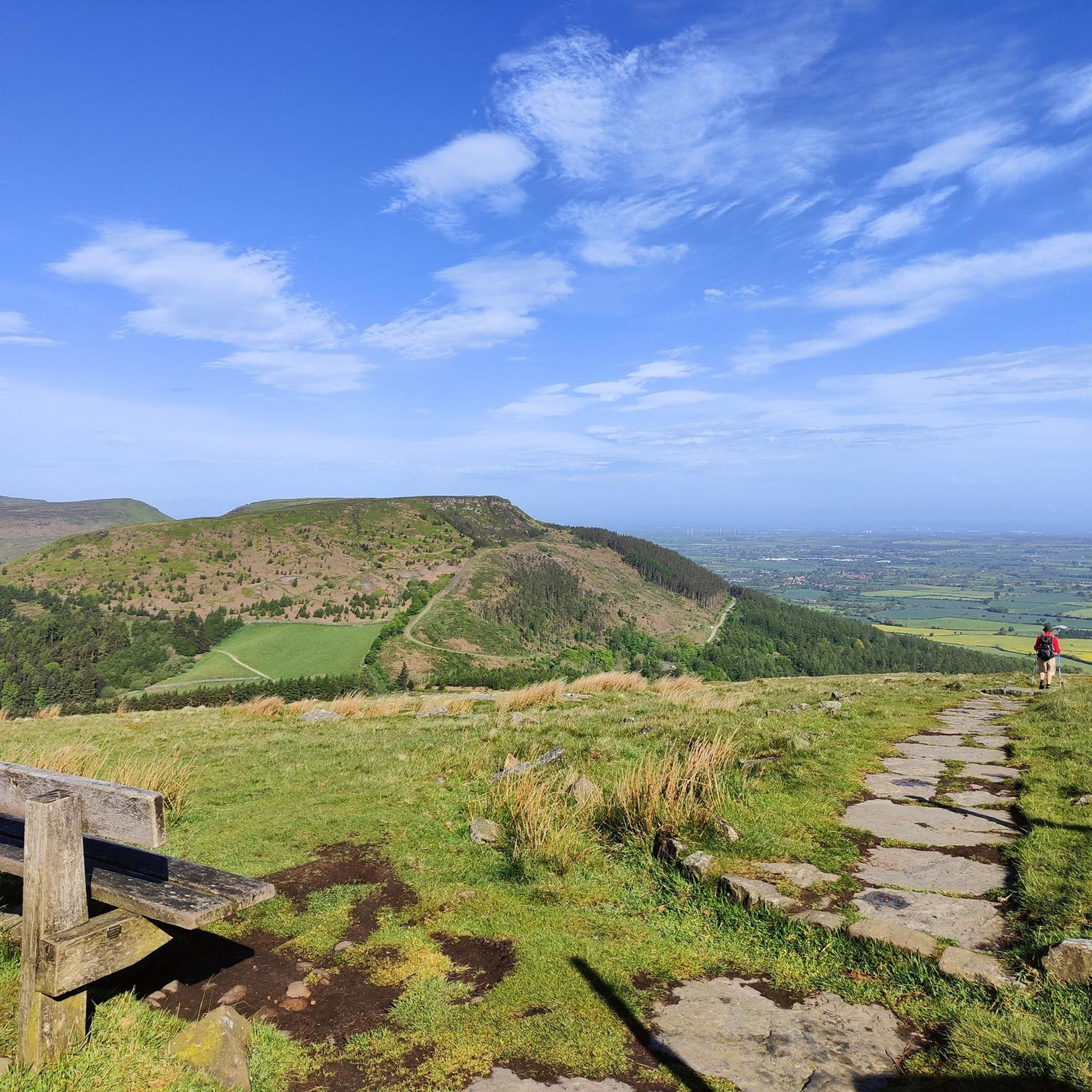
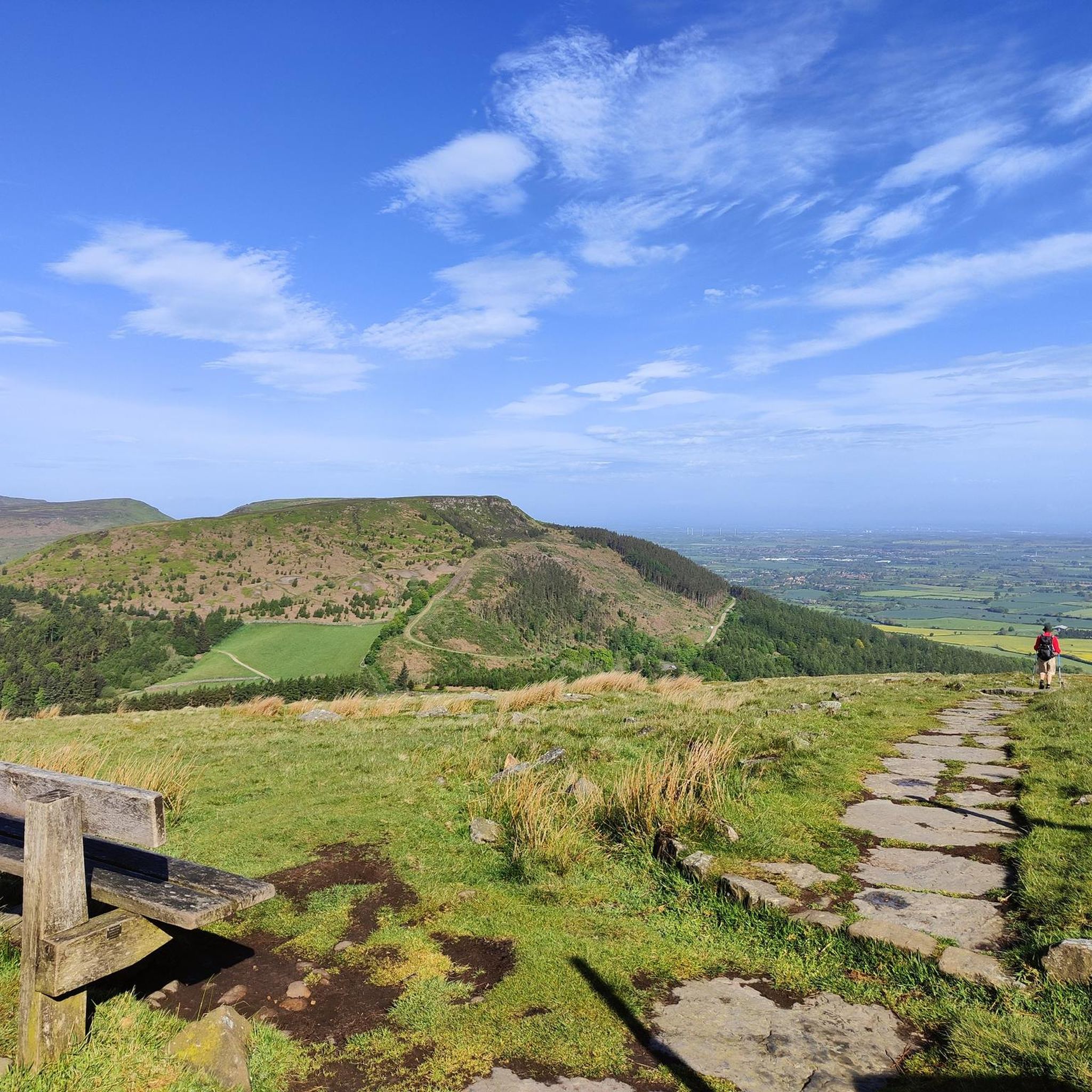
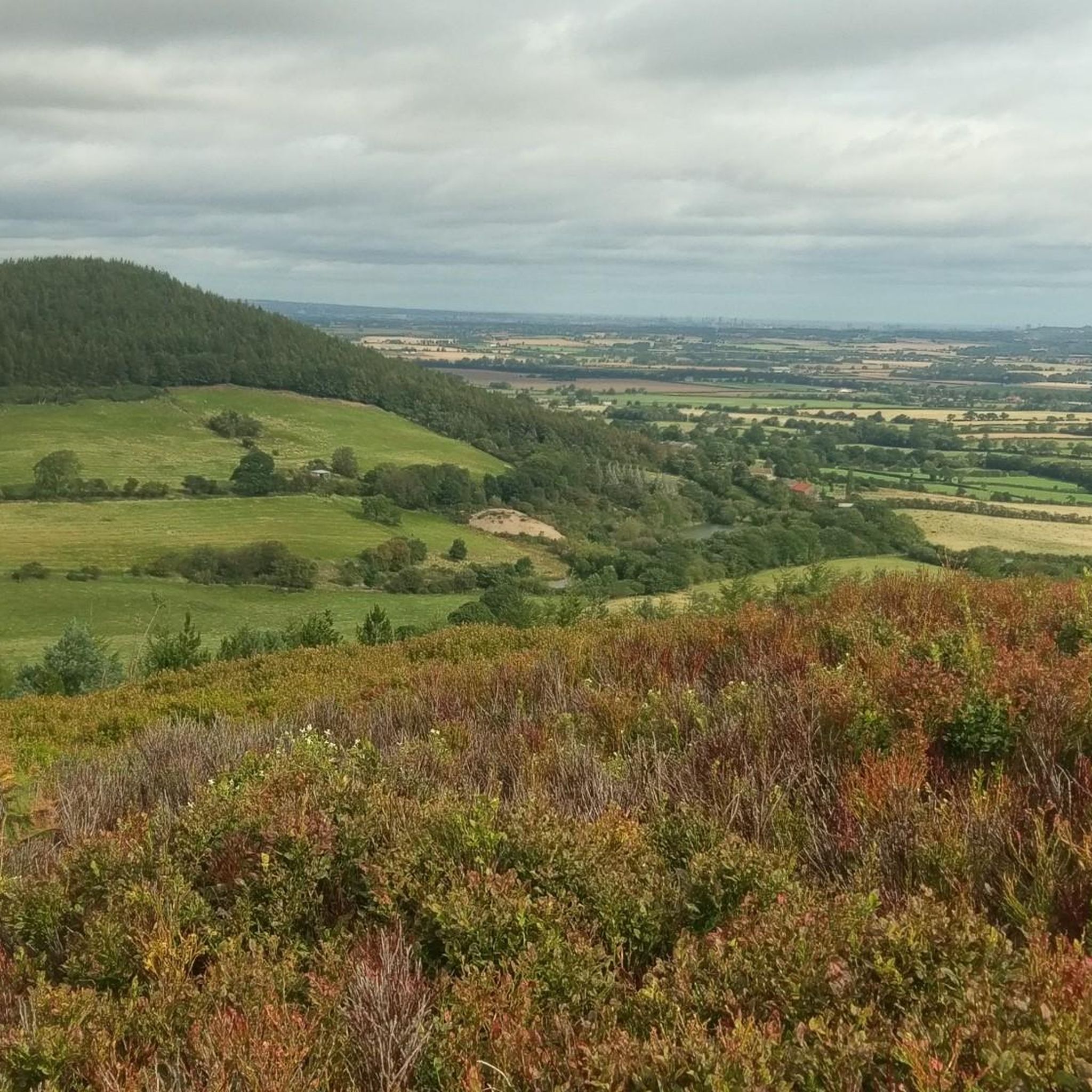
To the northeast, you can see the distinctively shaped Roseberry Topping. To the east and south, the stunning undulations …
Tip by

The Wainstones
Highlight • Climb
The rocks are situated on a hill called 'Hasty Banks', and there are fantastic views across to Middlesbrough …
Tip by
Sign up now to discover places like this
Get recommendations on the best single tracks, peaks, & plenty of other exciting outdoor places.
Sign up for free
Urra Moor – Highest Point of the North York Moors
Highlight (Segment) • Summit
Other than fellow walkers, there's a chance you'll bump into archaeologists up on the …
Tip by

Cringle End Summit
Highlight (Segment) • Climb
Tip by

Urra Moor
Highlight (Segment) • Summit
The name is a mix of Old English and Old Norse and means something like "Dirty …
Translated by Google •
Tip by

Sign up for free to discover even more peaks around Sexhow.
Sign up for free
Already have an account?
Start today with a free account
Your next adventure awaits.
Login or Signup

Tips from the Community

This is where I realised wearing new boots for a hike this long was a BAD idea!
0
0
Lots of view points, people rock climbing and the up and downs test you as they are short, but a touch punchy for their short elevation!
0
0

Urra Moor is fairly large and criss-crossed with several walking routes, some more popular than others. As a result, there are great panoramic views to be had in all directions. https://en.wikipedia.org/wiki/Urra_Moor
1
0
If Cringle End is your destination, approach from Lordstones Country Park to the west, the gradient is more forgiving and the path is relatively straight. If you crest Cringle Moor from the east you will find the ascent comprises vicious sections of very twisty stone path with much steeper gradient, according to the elevation profile on Komoot, up to and over 33%. Quite punishing if you already have already covered a lot of miles and ascent.
2
0
Judging from the number of recommendations, photos and tips, this is a hugely popular spot. If you can, get up there nice and early (I started 5.30am in May) to catch the rising sun and see the stones in a mix of sunlight and shadow, both from afar and close up. Spectacular rock formations and views all round.
3
0
More spectacular views. The approach from the west is easier with a more gentle incline than the approach from the east, which involves a series of twisting turning steep steps, good safe footing but hard going both up and down.
1
0

Take the open path to the South back to Carlton Bank. The views are good and it is a pleasant path. Avoid the dull and predictable forest track to the North recommended by most others
1
0
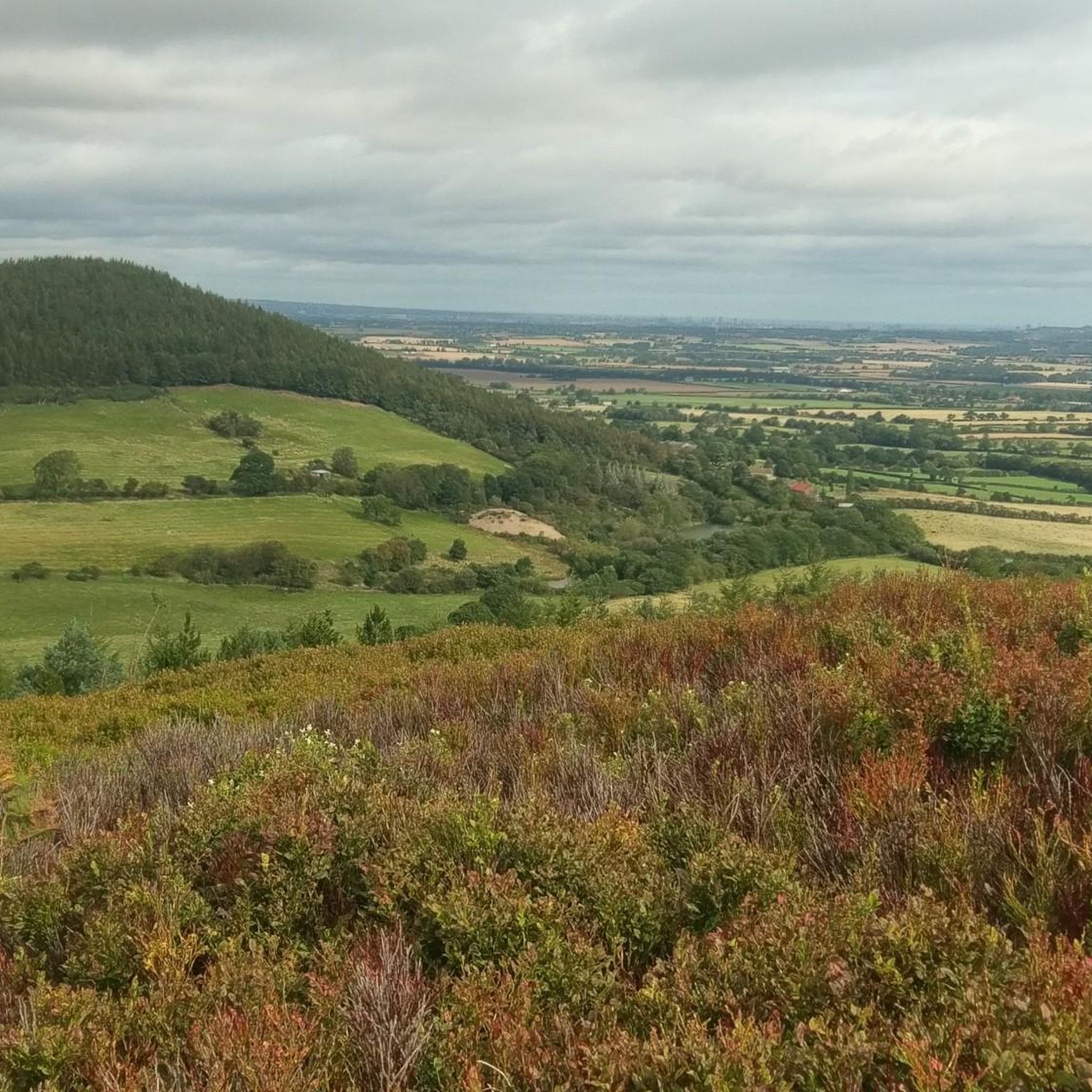
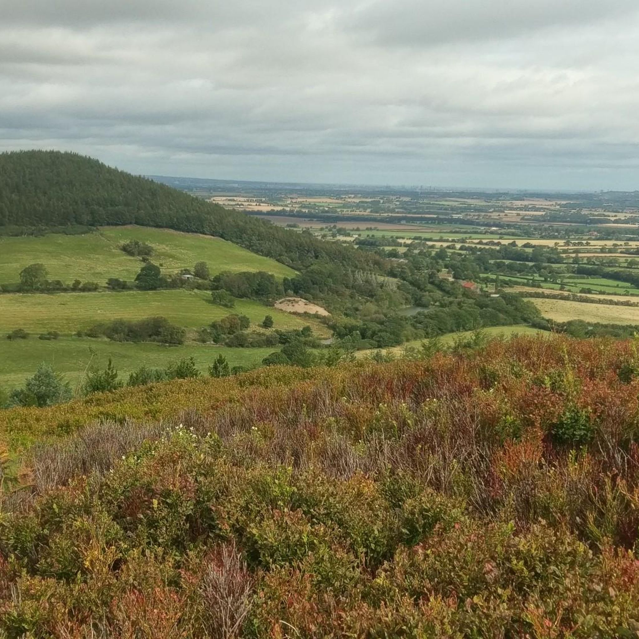
Carlton Bank is 408 m (1,339 ft), The summit provides extensive views of Teesside.
1
0
Frequently Asked Questions
What kind of mountain peaks can I expect to find around Sexhow?
Sexhow, located in North Yorkshire, is characterized by elevated terrain and prominent hills within the North York Moors and Cleveland Hills, rather than traditional mountains. You'll find moorland summits, distinctive rocky outcrops, and various elevated viewpoints offering expansive views across the region.
Which are the most popular elevated spots for hikers near Sexhow?
Among the most popular spots are The Wainstones, a distinctive rocky outcrop known for its views and prehistoric carvings, and Carlton Bank Summit Trig Point, which offers panoramic vistas of Teesside, Roseberry Topping, and the North York Moors.
Where can I find the highest point in the North York Moors near Sexhow?
The highest point in the North York Moors is Urra Moor – Highest Point of the North York Moors. Its summit, Round Hill, reaches 454 meters and is also notable for its prehistoric remains, including barrows and carved stones.
Are there challenging climbs or trails for experienced hikers near Sexhow?
Yes, for those seeking a challenge, Cringle End Summit offers a demanding climb with sections reaching up to a 45% gradient. The views from the top are well worth the effort.
What kind of views can I expect from the peaks around Sexhow?
From various elevated points, you can enjoy breathtaking panoramic views. For instance, from The Wainstones, you can see across to Middlesbrough and the Tees. Carlton Bank Summit Trig Point provides extensive views of Teesside, Roseberry Topping, and the North York Moors.
Are there any historical or archaeological sites on the peaks near Sexhow?
Yes, Urra Moor – Highest Point of the North York Moors is known for its prehistoric remains, including burial mounds and carved stones with cup and ring markings. The Wainstones also feature prehistoric carvings on the lower ground surrounding the rocks.
What outdoor activities can I do near the peaks around Sexhow?
The area around Sexhow offers a variety of outdoor activities, primarily hiking and running. You can explore numerous trails ranging from easy to difficult. For more details on specific routes, check out the Hiking around Sexhow guide or the Running Trails around Sexhow guide.
Are there easy hiking trails suitable for beginners near Sexhow?
Yes, there are several easy hiking trails available. For example, the 'Small Waterfall on the River – The Bay Horse loop from Hutton Rudby' is an easy 3.37 km route. You can find more options in the Easy hikes around Sexhow guide.
What do visitors particularly enjoy about the peaks and hills near Sexhow?
Visitors frequently praise the stunning panoramic views from spots like The Wainstones and Carlton Bank Summit Trig Point. The distinctive rock formations, the sense of solitude on the moorlands, and the opportunity to explore historical sites also contribute to a highly appreciated experience.
What is the best time of day to visit the rocky outcrops like The Wainstones?
Many visitors recommend going early in the morning, especially around sunrise, to experience The Wainstones in a mix of sunlight and shadow, which enhances the spectacular rock formations and views.
Can I find information about the local geography and history of Sexhow?
Sexhow is a small hamlet in North Yorkshire, situated on the River Leven. Its name, derived from Old Norse, means 'the hill of Sekk,' indicating the presence of local hills. While not having traditional mountains, the area is part of the broader Cleveland Hills and North York Moors. For more historical context, you can refer to general information about the region on Wikipedia.
Most popular attractions around Sexhow

Get inspired with the komoot mobile app


Explore more
See even more amazing summits around Sexhow with these guides:
