The best walks and hikes around Sexhow
4.5
(1424)
11,033
hikers
237
hikes
Hikes around Sexhow explore the landscapes on the edge of the North York Moors National Park. The region is characterized by rolling hills, heather moorland, and the valley of the River Leven. Many walking trails near Sexhow North Yorkshire provide access to sections of the Cleveland Way National Trail.
Best hiking trails around Sexhow
- The most popular hiking route is Swainby Village – Wooden Bridge Over Piper Beck loop from Faceby, a 5.7 mile (9.2 km) trail that takes…
Last updated: May 12, 2026
4.6
(11)
81
hikers
9.18km
02:35
190m
190m
Moderate hike. Good fitness required. Easily-accessible paths. Suitable for all skill levels.
2.9
(9)
27
hikers
Moderate hike. Good fitness required. Easily-accessible paths. Suitable for all skill levels.

Sign up for free
21
hikers
Moderate hike. Good fitness required. Easily-accessible paths. Suitable for all skill levels.
11
hikers
28.7km
07:58
510m
510m
Hard hike. Very good fitness required. Easily-accessible paths. Suitable for all skill levels.
4.0
(1)
10
hikers
26.3km
07:19
470m
470m
Hard hike. Very good fitness required. Easily-accessible paths. Suitable for all skill levels.
Get access to more routes and recommendations from other explorers.
Sign up for free
Already have an account?
Our route recommendations are based on thousands of hikes, rides, and runs completed by other people on komoot.
Start today with a free account
Your next adventure awaits.
Login or Signup

Tips from the Community

This is where I realised wearing new boots for a hike this long was a BAD idea!
0
0

You’ll have to jump over the wall and fence from the footpath to touch the trig pillar
0
0
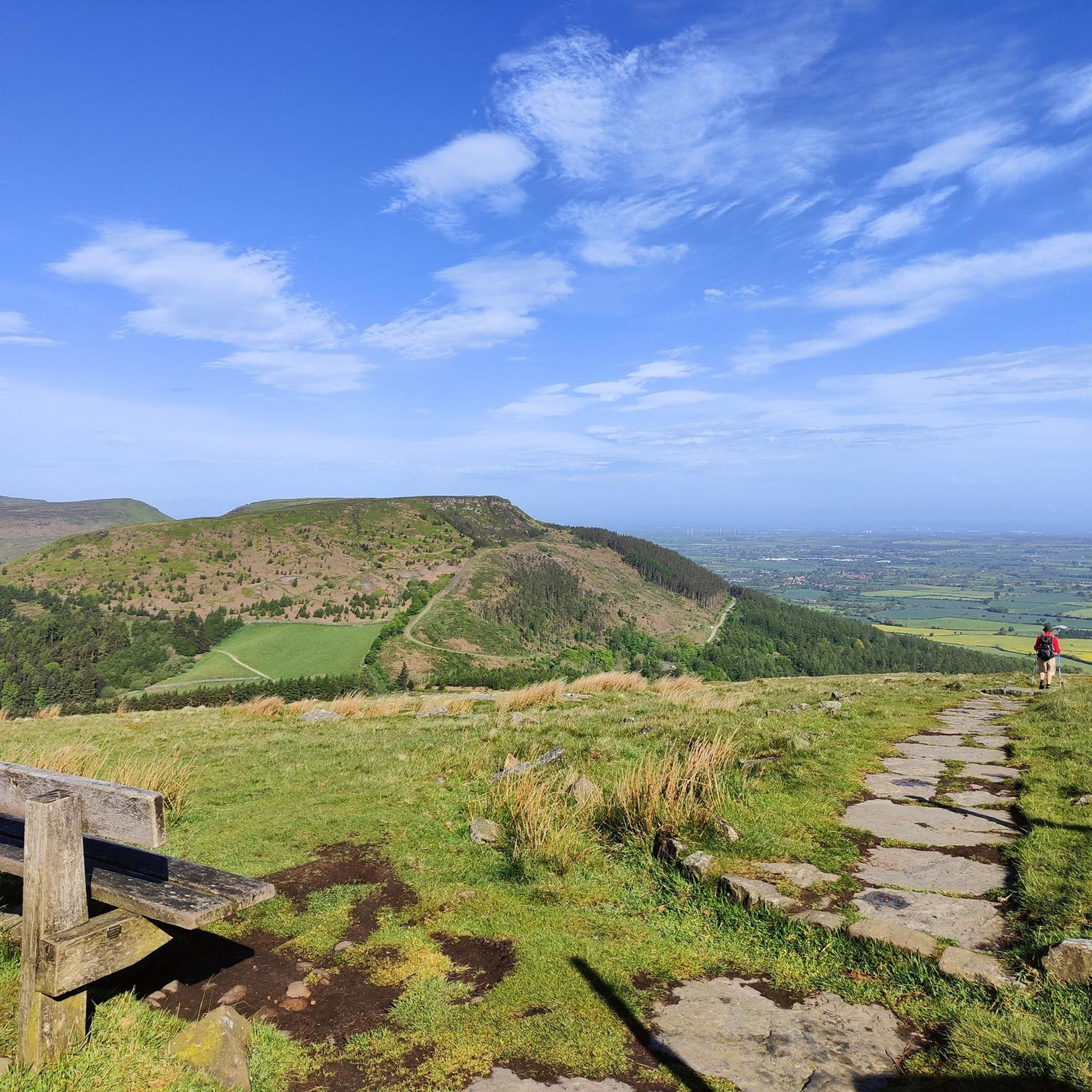
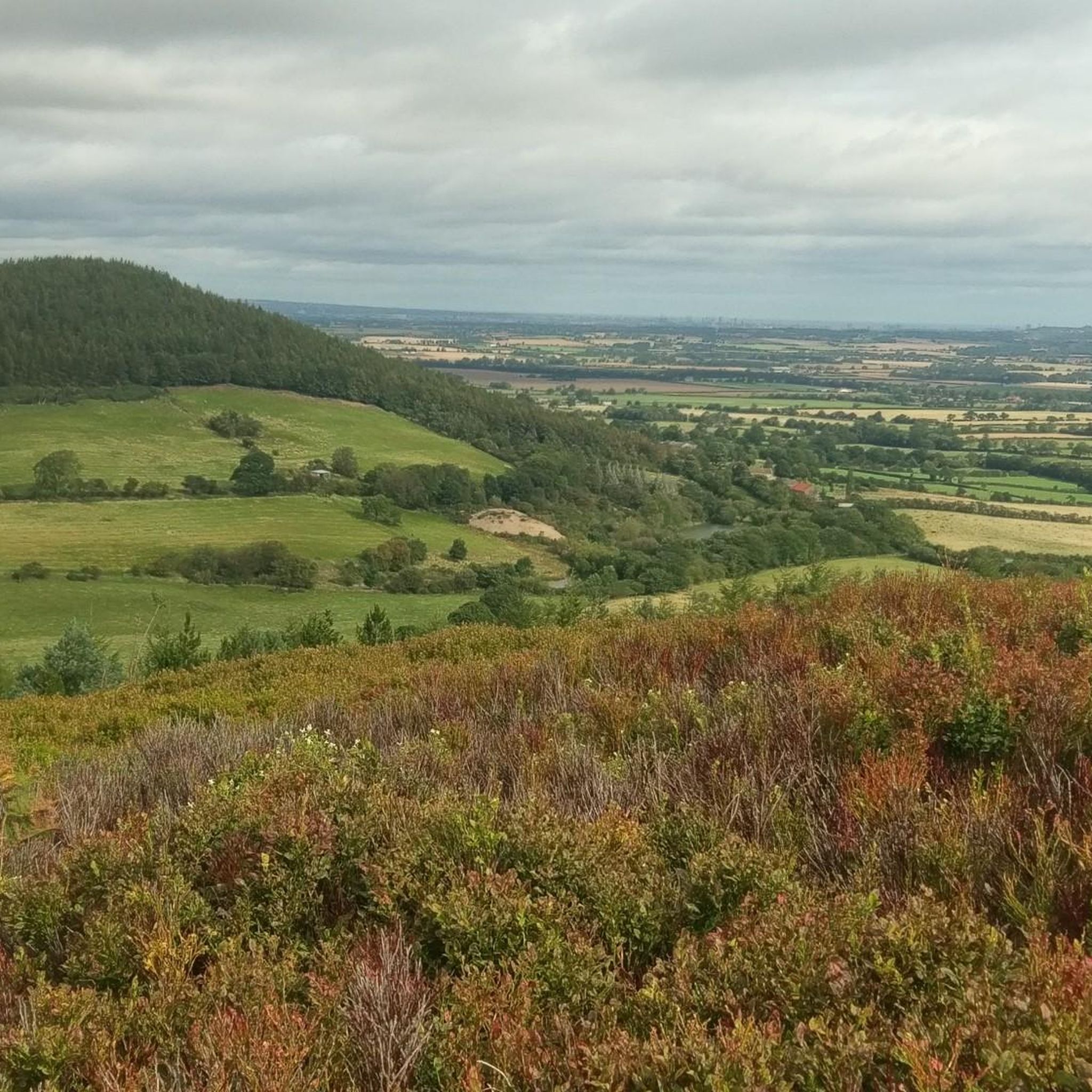
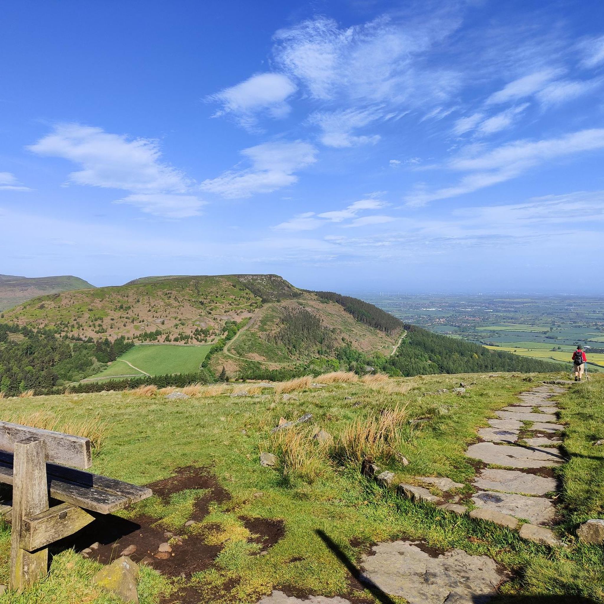
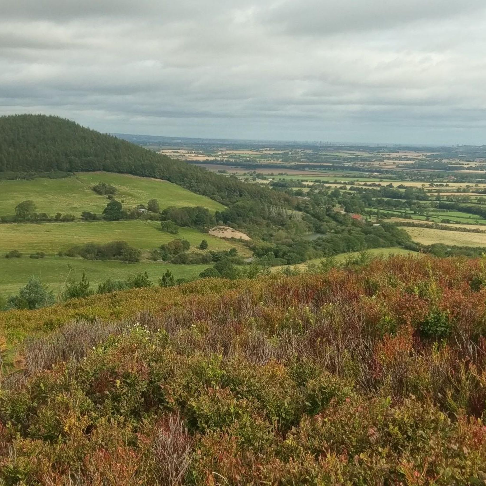
Expansive views full of heather with Roesberry Topping in the distance
1
0

Lovely spot for a break directly next to the footpath with a good view over the Vale of Mowbray. Beware sometimes there is cattle.
0
0


The farmer who owns the building lives next to the church.. he is a very approachable friendly chap
0
0

A Bronze Age burial mound that dates back to approximately 2000 BC. Unfortunately, walkers in the area have mistaken it as a cairn and have added their own stones to it, so the North York Moors National Park have added a sign opposite to avoid others doing the same.
0
0
Frequently Asked Questions
Are there many hiking trails to choose from around Sexhow?
Yes, there are over 200 marked hiking routes in the Sexhow region. The trails range from easy riverside strolls to challenging moorland treks, offering plenty of options for all fitness levels.
What do other hikers enjoy about the trails near Sexhow?
The area is highly rated by the komoot community. Reviewers often praise the varied scenery, which includes everything from the rolling hills and heather-clad moorland of the North York Moors to the tranquil paths along the River Leven.
Are there any easy, family-friendly walks in the area?
Absolutely. There are nearly 100 easy-rated walks perfect for a family outing. A great option is the Small Waterfall on the River loop from Hutton Rudby, which is a short and gentle walk along the river.
Can I take my dog on the hiking trails?
Yes, the area is generally very dog-friendly. Most public footpaths are suitable for walking with a dog, but it's always best to keep them on a lead, especially near livestock or during bird nesting season on the moors. For off-lead fun, K9 Fun-Time near Hutton Rudby is a well-regarded local dog park.
Are there any long-distance hiking options near Sexhow?
The region is an excellent base for tackling sections of the famous Cleveland Way National Trail. For a challenging day hike that takes in a portion of this trail, consider the Live Moor Trail – Carlton Bank Summit Trig Point loop from Potto, which offers fantastic views from the summit.
What are the best spots for scenic views?
For panoramic vistas, head to Carlton Bank, where on a clear day you can see across the Vale of Mowbray to the Yorkshire Dales. The Wainstones, a group of dramatic sandstone crags, also provide stunning views over Teesside. A challenging but rewarding route is the View from Beacon Hill Summit – Scarth Wood Moor loop from Potto.
Are there any hikes that feature waterfalls?
Yes, several walks follow the River Leven and pass by small, charming waterfalls. These riverside paths offer a more gentle and tranquil hiking experience compared to the high moorland trails. The route from Hutton Rudby towards Crathorne is particularly known for this feature.
What is the terrain like for hiking around Sexhow?
The terrain is quite diverse. You'll find gentle, flat paths along the River Leven, rolling farmland with well-defined public footpaths, and more strenuous ascents onto the heather moorlands of the North York Moors National Park. Some popular moorland paths, like the one up Carlton Bank, are paved with slabs.
Where can I find information about parking for the trails?
Many popular trailheads and villages like Chop Gate, Hutton Rudby, and Swainby have designated parking areas, some of which are free. For walks starting from villages, on-street parking may be available, but please park considerately. The start points of komoot Tours often include parking information.
What is the best time of year to hike in this region?
Hiking is possible year-round, but late summer and early autumn are particularly beautiful when the heather on the North York Moors is in full purple bloom. Spring offers fresh green landscapes, while winter can provide crisp, clear days, though be prepared for muddy or icy paths.
Are there any interesting natural landmarks to see on a hike?
The Wainstones are a must-see. They are the largest group of sandstone crags in the North York Moors and are a popular spot for both hikers and climbers. The rocks have been weathered into fascinating shapes and some even feature Bronze Age carvings.
Most popular attractions around Sexhow

Get inspired with the komoot mobile app


Explore more
Browse the best Hikes in other regions.
