The best MTB trails around East Tanfield
4.1
(42)
177
riders
26
rides
Mountain biking around East Tanfield offers routes through varied terrain, characterized by reservoirs, valleys, and open countryside. The region features a mix of rolling hills and more challenging ascents, providing diverse riding experiences. Trails often pass by natural landmarks and offer views of the surrounding landscape. The area's geography supports both leisurely rides and more demanding mountain bike routes.
Best mountain bike trails around East Tanfield
- The most popular mountain bike trail is View of Scar House Reservoir – Scar…
Last updated: June 24, 2026
30
riders
52.2km
04:12
960m
960m
Hard mountain bike ride. Very good fitness required. Suitable for all skill levels.
1.0
(1)
18
riders
33.9km
02:37
630m
630m
Moderate mountain bike ride. Good fitness required. Suitable for all skill levels.

Sign up for free
4.0
(1)
21
riders
34.6km
02:34
580m
580m
Moderate mountain bike ride. Good fitness required. Advanced riding skills necessary.
4.0
(2)
5
riders
17.7km
01:22
320m
320m
Moderate mountain bike ride. Good fitness required. Suitable for all skill levels.
7
riders
48.0km
03:32
800m
800m
Moderate mountain bike ride. Good fitness required. Advanced riding skills necessary.
Get access to more routes and recommendations from other explorers.
Sign up for free
Already have an account?
Our route recommendations are based on thousands of hikes, rides, and runs completed by other people on komoot.
Start today with a free account
Your next adventure awaits.
Login or Signup



Tips from the Community

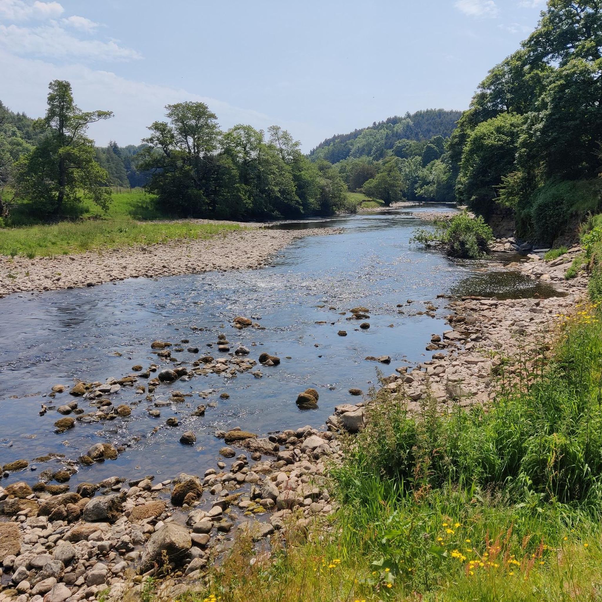
North Gill Beck is a small upland stream forming the northern boundary of Dallowgill. It runs eastwards through enclosed pasture and woodland toward the River Laver. These bridges and and forward are in Pye Carr and Hodgson Wood which are nice and cool on a hot day.
0
0

A hidden gem and interesting story behind the construction of the Temple. Beautiful views and an interesting undulating walk through stunning countryside.
0
0


In Moor lane is a byway that runs over In Moor in Nidderdale. This section is fun on a mountain bike, either as a descent towards Scar House reservoir or as a climb up onto the moor. It drops off the moor to the reservoir quite steeply, so watch out! This track is used by the Nidderdale Way long distance walking trail, so watch out for walkers.
0
0

the drive to the temple was well worth it. You will find a cafe, and family area, before a short walk up to the temple. the set up of the rock formations is mind blowing, but very interesting. a big tick for me to visit again.
1
1

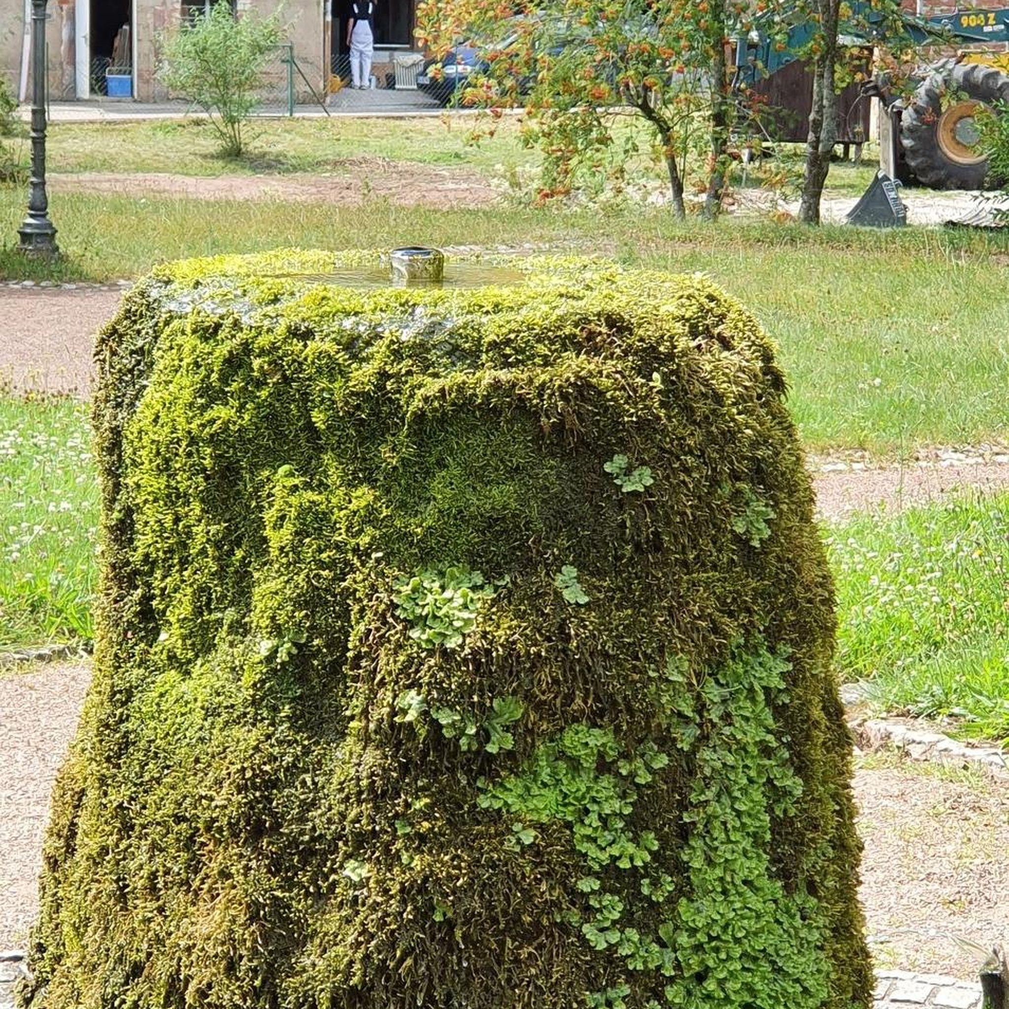
Interesting place here! North Gill Beck has two bridges: one is a footbridge, the other is a timber bridge for vehicles, so, basically, jog where you please! Then, just a minute's walk from here is South Gill Beck, with another footbridge and a ford. Jog where your heart desires again (but probably over the footbridge if the ford is full of water!) Also spot the mosaic art here - the Dallowhill area has a few of these scattered in a variety of places.
0
0
Interesting place here! North Gill Beck has two bridges: one is a footbridge, the other is a timber bridge for vehicles. Then, just a minute's walk from here is South Gill Beck, with another footbridge and a ford. Also spot the mosaic art here - the Dallowhill area has a few of these scattered in a variety of places.
1
0
Frequently Asked Questions
How many mountain bike trails are available around East Tanfield?
There are over 25 mountain bike trails around East Tanfield, offering a variety of experiences. This includes 5 easy routes, 23 moderate routes, and 1 difficult route, catering to different skill levels.
What kind of terrain can I expect on mountain bike trails in East Tanfield?
The mountain bike trails around East Tanfield feature varied terrain, including routes through valleys, open countryside, and past reservoirs. You'll encounter a mix of rolling hills and some more challenging ascents, often with views of the surrounding landscape.
Are there mountain bike trails suitable for beginners in East Tanfield?
Yes, East Tanfield offers 5 easy mountain bike routes that are suitable for beginners or those looking for a more relaxed ride. These trails typically feature gentler paths and less demanding climbs.
Are there challenging mountain bike routes for experienced riders?
For experienced riders seeking a challenge, there is at least one difficult mountain bike route available. The View of Scar House Reservoir – Scar House Descent loop from Grewelthorpe is a difficult 32.5-mile trail with significant elevation changes, offering a demanding ride.
Can I find circular mountain bike routes in East Tanfield?
Many of the mountain bike routes in East Tanfield are circular, allowing you to start and finish at the same point. Examples include the Leighton Reservoir loop from Masham and the Dallowgill Ford – View of Helks Wood Valley loop from Grewelthorpe.
Are there any mountain bike routes that pass by waterfalls or interesting natural features?
Yes, some routes in the area can lead you near interesting natural features. For example, Hackfall Wood, known for its waterfalls and woodland gardens, and Seven Bridges Valley are notable natural attractions in the vicinity that you might incorporate into your ride or visit separately.
What historical sites or attractions can I explore near the mountain bike trails?
East Tanfield is surrounded by historical sites and attractions. You can find several castles nearby, such as Swinton Park, Snape Castle, and Marmion Tower. Other points of interest include Studley Royal Deer Park and the historic Masham Market Square.
What is the best time of year for mountain biking in East Tanfield?
The spring and summer months generally offer the most pleasant conditions for mountain biking in East Tanfield, with warmer weather and drier trails. Autumn can also be beautiful with changing foliage, though trails may be wetter. Winter riding is possible but can be challenging due to colder temperatures and potentially muddy or icy conditions.
Are there cafes or places to refuel near the mountain bike trails?
Yes, towns like Masham, which is a common starting point for several routes, offer amenities including cafes and pubs where you can refuel. Masham Market Square is a good place to find options for refreshments.
What do other mountain bikers say about the trails in East Tanfield?
The mountain bike trails around East Tanfield are highly regarded by the komoot community, with an average rating of 4.1 stars from over 40 reviews. More than 200 mountain bikers have explored the area using komoot, often praising the varied terrain and scenic reservoir views.
Are there family-friendly mountain bike trails in East Tanfield?
Yes, East Tanfield has 5 easy-rated mountain bike routes that are generally suitable for families or those looking for a less strenuous ride. These trails offer a good way to enjoy the countryside without overly challenging terrain.
Where can I find parking for mountain biking in East Tanfield?
Parking is typically available in the villages and towns that serve as common starting points for the trails, such as Grewelthorpe or Masham. Specific parking details can often be found on individual route pages or local information boards.
Most popular attractions around East Tanfield

Get inspired with the komoot mobile app


Explore more
Browse the best MTB trails in other regions.
