The best running trails around Slawston
4.0
(30)
2,722
runners
199
runs
Jogging routes around Slawston are set within the picturesque Welland Valley, offering varied terrain for runners. The area features higher elevations, such as Slawston Hill reaching over 400 feet, alongside lower ground near the River Welland. The landscape is characterized by valley slopes, smaller tributary valleys, and some small deciduous woodlands, providing diverse running environments. This mix of elevations and natural features creates a dynamic setting for outdoor activities.
Best jogging routes around Slawston
- The most popular jogging route is…
Last updated: May 14, 2026
9
runners
9.31km
01:03
120m
120m
Moderate run. Good fitness required. Mostly paved surfaces. Suitable for all skill levels.
5
runners
8.88km
00:59
110m
110m
Moderate run. Good fitness required. Mostly paved surfaces. Suitable for all skill levels.

Sign up for free
5
runners
7.11km
00:45
60m
60m
Moderate run. Good fitness required. Mostly paved surfaces. Suitable for all skill levels.
6
runners
29.3km
03:12
410m
410m
Hard run. Very good fitness required. Mostly paved surfaces. Suitable for all skill levels.
4
runners
7.37km
00:52
130m
130m
Moderate run. Good fitness required. Mostly paved surfaces. Suitable for all skill levels.
Get access to more routes and recommendations from other explorers.
Sign up for free
Already have an account?
Our route recommendations are based on thousands of hikes, rides, and runs completed by other people on komoot.
Start today with a free account
Your next adventure awaits.
Login or Signup

Tips from the Community

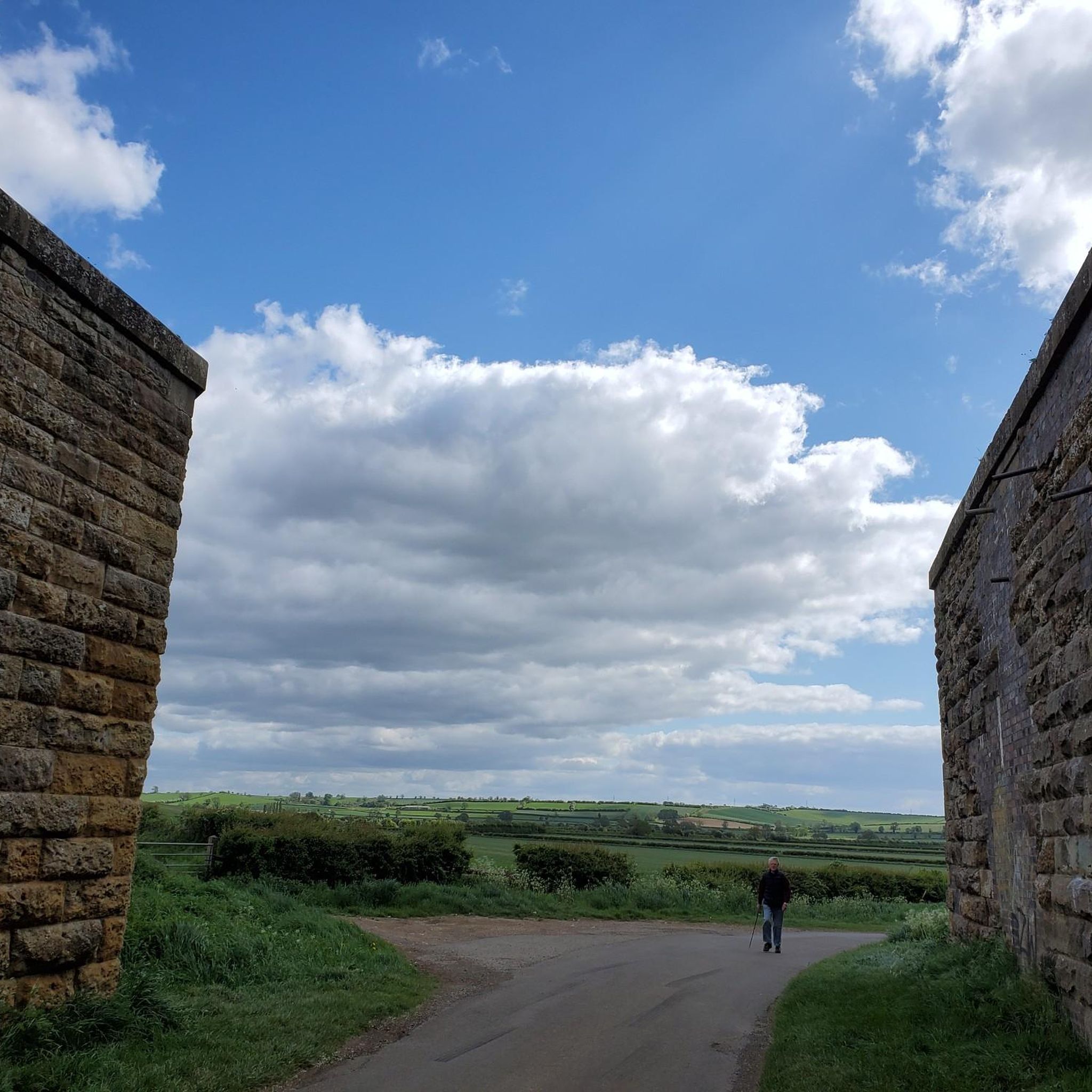
Wonderful view of the Nevill Holt Estate where they hold the Nevill Holt Operas which has amazing views over the surrounding countryside. Also has a beautiful large scale statue of a horse's head in the grounds.
0
0

Lovely ride all year round - puddles get bigger in winter, but no problem to ride!
0
0

Heading south starts as gravel climb, then grassy field down to a shaded wood which can be wet. From there a hoofey steep climb up to a flat run through a corn field. Hard work but you get to enjoy the descent!
0
0


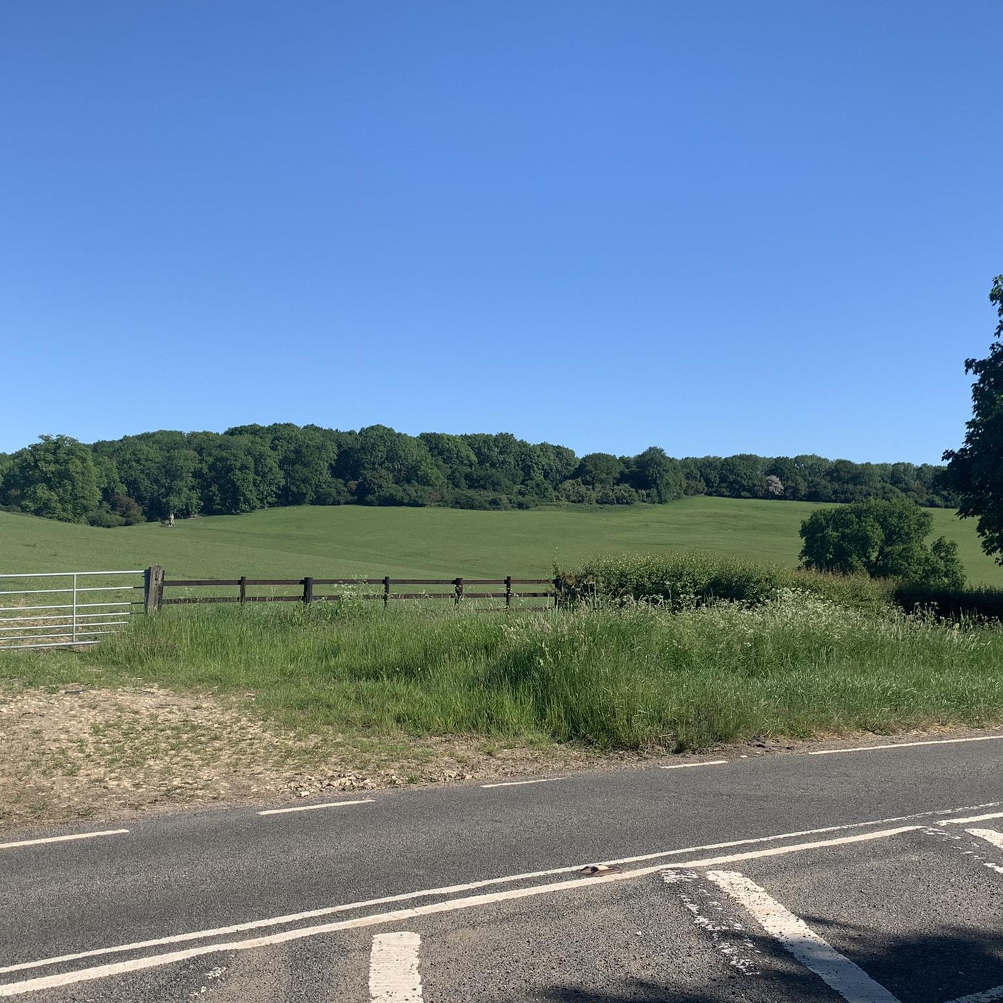
A great area to visit if you like short, sharp hills. Very scenic and pretty quiet.
0
0
The footpath goes through an arch under a house on the main street.
0
0

Nestled in a serene valley above the river Chater, this grand Tudor house was originally commissioned by Thomas Cromwell on the site of a former priory. Cromwell acquired the estate during the Dissolution of the Monasteries but enjoyed it only briefly before his execution in 1540. Known as Launde, indicating a clearing in the Rutland forest, the house currently serves as a Christian retreat and conference centre for the Leicester and Peterborough dioceses of the Church of England.
1
0
Frequently Asked Questions
How many running routes are available around Slawston?
There are over 190 running routes around Slawston documented on komoot, offering a wide variety of options for different fitness levels and preferences.
What is the general difficulty level of running trails in Slawston?
The majority of running routes in Slawston are classified as moderate, with 138 moderate trails. There are also 13 easy routes and 48 difficult routes for those seeking more of a challenge.
What kind of terrain can I expect on running routes around Slawston?
Running routes in Slawston offer varied terrain within the picturesque Welland Valley. You'll encounter higher elevations like Slawston Hill (over 400 feet) and lower ground near the River Welland. The landscape features undulating valley slopes, smaller tributary valleys, and some small deciduous woodlands, providing a dynamic mix of environments. Many routes, such as the Bridleway to Hallaton – Goadby Road Gravel Track loop, feature primarily paved surfaces.
Are there any long-distance running trails in the Slawston area?
Yes, for those looking for a longer run, the Goadby Road Gravel Track – Launde Abbey loop from Hallaton is a challenging option, covering over 27 kilometers with significant elevation gain.
Are there circular running routes available in Slawston?
Many of the running routes around Slawston are designed as loops, allowing you to start and finish in the same location. Examples include the Running loop from Medbourne and The Bewicke Arms loop from Hallaton.
What do other runners enjoy the most about jogging in Slawston?
The running routes around Slawston are highly rated by the komoot community, with an average score of 4.0 stars from over 30 reviews. Runners often praise the varied terrain, the scenic Welland Valley setting, and the blend of historical village architecture with open fields.
Are there family-friendly running routes near Slawston?
While specific 'family-friendly' designations aren't always explicit, many of the moderate routes with primarily paved surfaces, such as the St. Andrew's Church, Welham – Abandoned Railway Bridge loop from Weston by Welland, could be suitable for families depending on their fitness levels. Always check the route details for distance and elevation before heading out.
Can I run with my dog on trails around Slawston?
Many trails in the Leicestershire countryside are dog-friendly, but it's always recommended to keep dogs on a lead, especially near livestock or in conservation areas. Check local signage and be mindful of other trail users and wildlife.
What can I see along the running routes around Slawston?
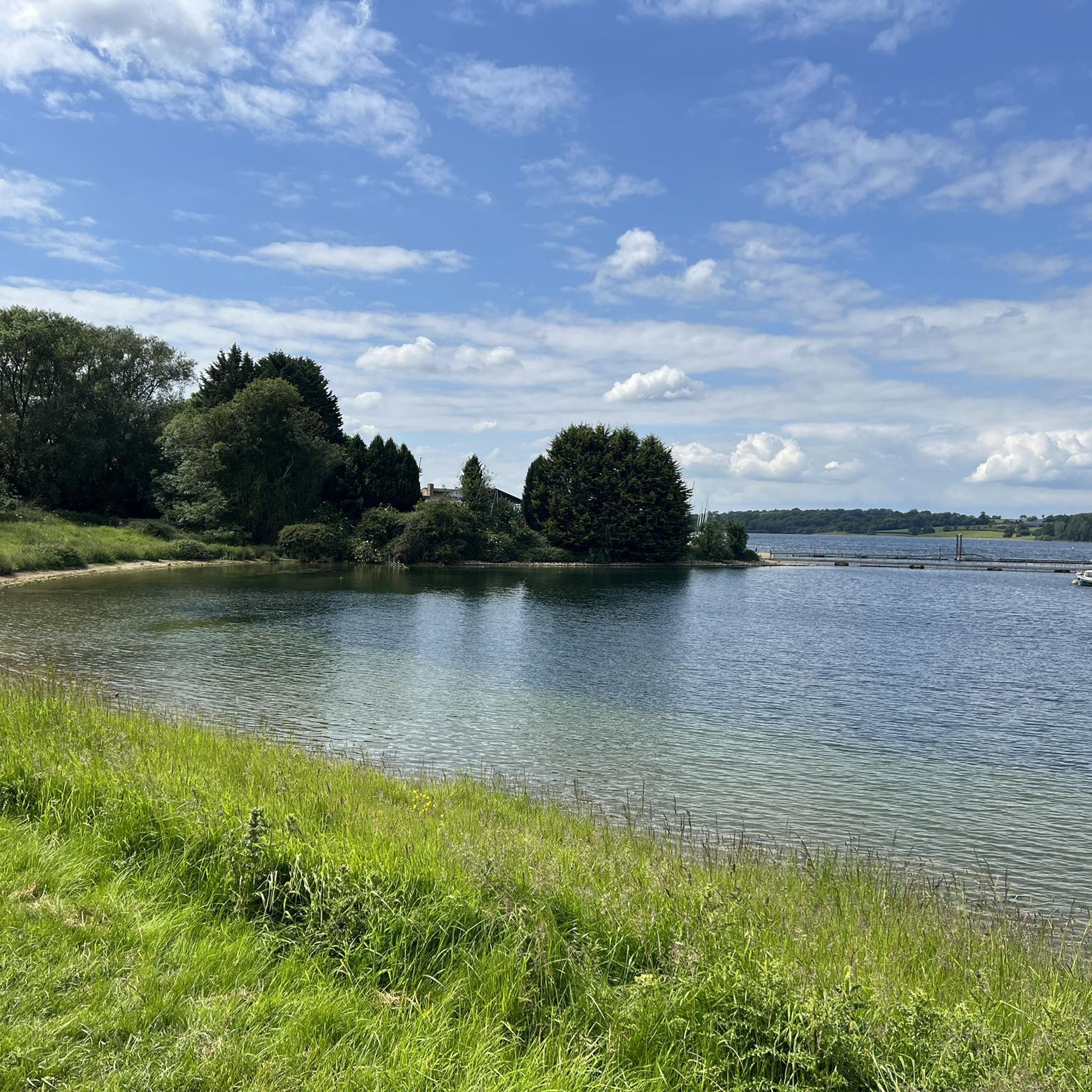
While running, you can enjoy the picturesque Welland Valley and its undulating landscapes. Nearby attractions that might be accessible or visible from some routes include the historic Foxton Locks, the tranquil Eyebrook Reservoir, and the scenic Sludge Hall Hill. The area is also part of a Conservation Area, featuring charming village architecture and wide green verges.
What are the best times of year to go running in Slawston?
Slawston offers good running opportunities year-round. The varied terrain and small woodlands can provide shade in warmer months, while the paved sections of many routes are more accessible during wetter conditions. The low-lying ground near the River Welland can be susceptible to flooding, so it's advisable to check local conditions after heavy rain, especially in winter.
Are there any cafes or pubs near the running routes in Slawston?
Yes, some routes originate near villages like Hallaton, which may have local pubs. For example, The Bewicke Arms loop from Hallaton starts near a pub. Additionally, the Café Ventoux is a notable spot in the wider area for refreshments.
Where can I find parking for running routes in Slawston?
Parking availability varies by route starting point. Many routes originate in or near villages like Hallaton or Medbourne, where village parking might be available. It's best to check specific route details on komoot for recommended parking spots or look for public car parks in nearby towns.
Is public transport available to access running trails in Slawston?
Public transport options directly to Slawston and its immediate trailheads may be limited. It's generally recommended to check local bus schedules for services to nearby larger villages or towns, and then plan your route accordingly, potentially involving a short walk or taxi to the trailhead.
Most popular attractions around Slawston

Get inspired with the komoot mobile app


Explore more
Browse the best Running Trails & Routes in other regions.
