The best walks and hikes around Slawston
4.5
(311)
2,466
hikers
226
hikes
Hiking around Slawston offers varied experiences across undulating hills and river valleys in Leicestershire. The region is characterized by elevated ground overlooking the Welland Valley, featuring distinctive mounds like Slawston Hill. Proximity to the River Welland introduces riparian landscapes, while historical agricultural fields and a conservation area add to the scenic diversity. This topography provides a range of hiking opportunities for different fitness levels.
Best hiking trails around Slawston
- The most popular hiking route is The Nevill Arms Café –…
Last updated: May 14, 2026
4.8
(12)
51
hikers
7.37km
02:02
130m
130m
Moderate hike. Good fitness required. Easily-accessible paths. Suitable for all skill levels.
5.0
(2)
20
hikers
9.09km
02:26
110m
110m
Moderate hike. Good fitness required. Easily-accessible paths. Suitable for all skill levels.

Sign up for free
5.0
(3)
23
hikers
11.3km
03:03
150m
150m
Moderate hike. Good fitness required. Easily-accessible paths. Suitable for all skill levels.
4.3
(3)
16
hikers
13.4km
03:38
170m
170m
Moderate hike. Good fitness required. Easily-accessible paths. Suitable for all skill levels.
4.3
(3)
11
hikers
13.1km
03:34
190m
190m
Moderate hike. Good fitness required. Easily-accessible paths. Suitable for all skill levels.
Get access to more routes and recommendations from other explorers.
Sign up for free
Already have an account?
Our route recommendations are based on thousands of hikes, rides, and runs completed by other people on komoot.
Start today with a free account
Your next adventure awaits.
Login or Signup
Tips from the Community

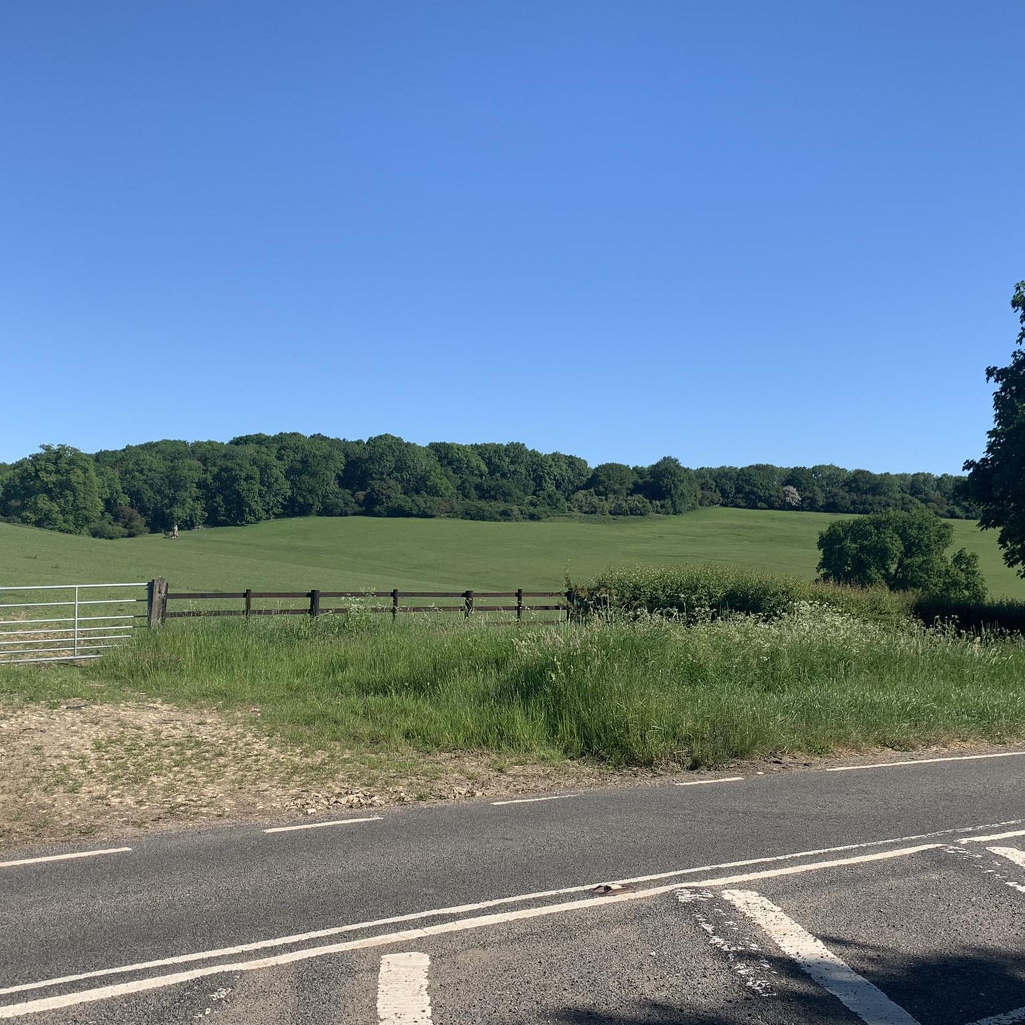
Wonderful view of the Nevill Holt Estate where they hold the Nevill Holt Operas which has amazing views over the surrounding countryside. Also has a beautiful large scale statue of a horse's head in the grounds.
0
0

Lovely ride all year round - puddles get bigger in winter, but no problem to ride!
0
0

Heading south starts as gravel climb, then grassy field down to a shaded wood which can be wet. From there a hoofey steep climb up to a flat run through a corn field. Hard work but you get to enjoy the descent!
0
0
The footpath goes through an arch under a house on the main street.
0
0

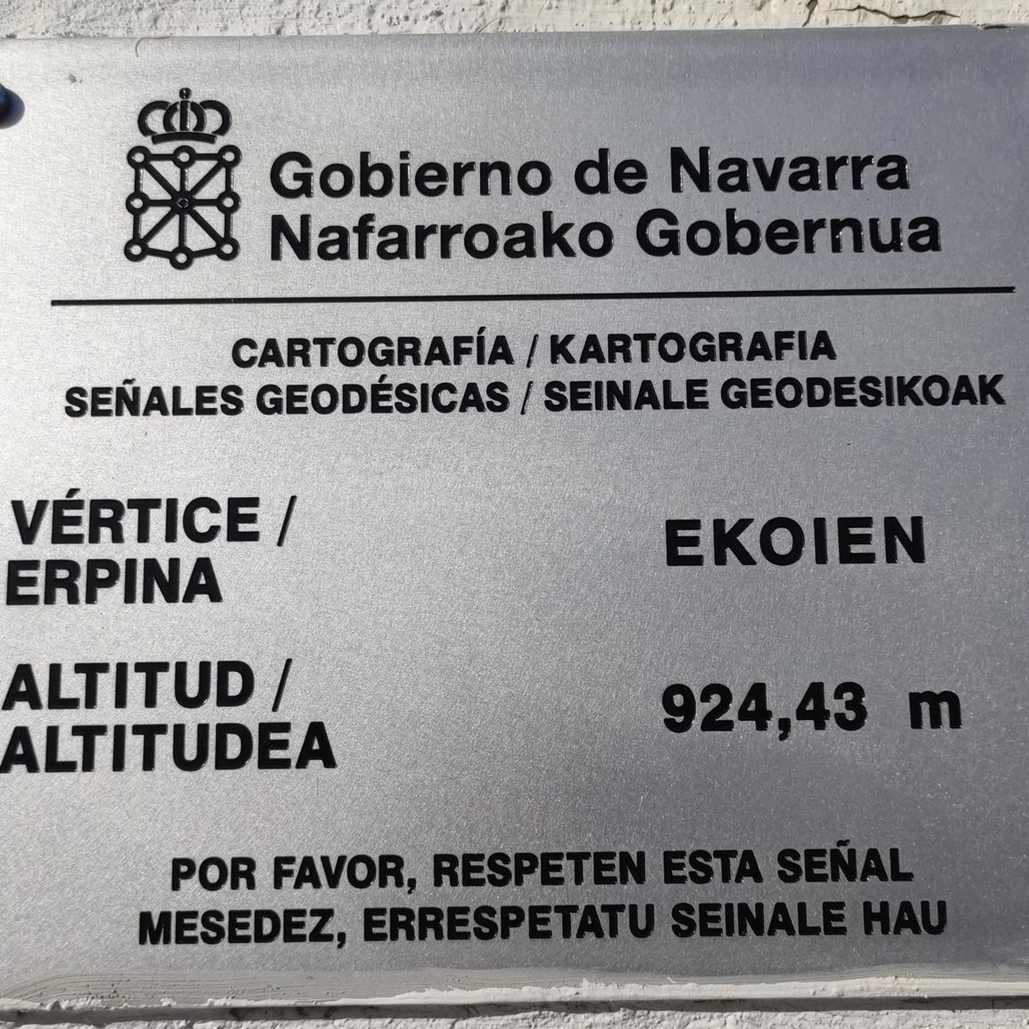
Keythorpe trig point is not visible from the road. You can see it in the hedge from the field.
0
0
Amazing church built in the Norman period and extended repeatedly to accommodate the thousands of medieval pilgrims visiting or passing the thriving town of Hallaton.
0
0
"Leicestershire's finest Motte and Bailey castle". No public access but great view from here and info board on gate
0
0
Frequently Asked Questions
How many hiking trails are available around Slawston?
There are over 200 hiking routes around Slawston, catering to various skill levels. This includes 88 easy, 132 moderate, and 15 difficult trails, ensuring a suitable option for every hiker.
What kind of landscapes can I expect to see while hiking in Slawston?
Slawston offers a diverse landscape characterized by undulating hills and valleys, particularly on the southern edge overlooking the Welland Valley. You'll encounter distinctive mounds like Slawston Hill, riparian areas near the River Welland and its tributaries, and historical agricultural fields with well-preserved ridge and furrow features. These varied terrains provide scenic views and interesting geological insights.
Are there any circular walks in the Slawston area?
Yes, many routes around Slawston are circular. For example, the The Nevill Arms Café – Nevill Holt Village loop from Medbourne is a popular moderate circular trail offering views of the Nevill Holt Estate. Another option is the Hallaton Castle Hill Camp – Keythorpe Trig Point loop from Goadby, which takes you through historical landscapes.
What are some notable landmarks or attractions to look out for on the trails?
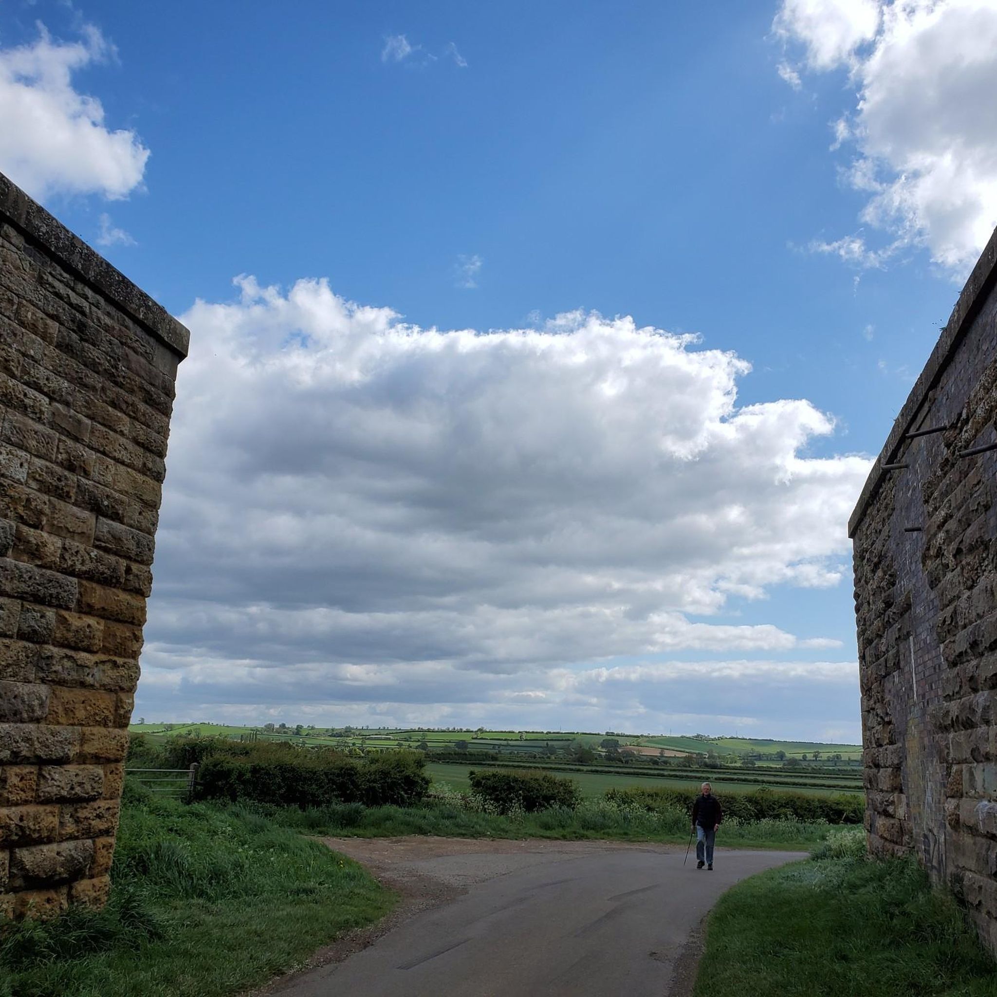
While hiking, you might spot the Keythorpe trig point, which offers expansive views, or the historic Hallaton church. The area also features the abutments of the former Slawston Bridge, a unique historical and natural feature. For other nearby attractions, consider visiting Foxton Locks or Eyebrook Reservoir.
What do other hikers say about the trails in Slawston?
The trails in Slawston are highly regarded by the komoot community, holding an average rating of 4.4 stars from over 280 reviews. More than 2400 hikers have explored the varied terrain, often praising the classic Leicestershire countryside views and well-maintained footpaths.
Are there any trails suitable for families or beginners?
Yes, Slawston offers 88 easy routes perfect for families or those new to hiking. These paths typically require up to two hours to complete with moderate elevation gains, providing accessible options to enjoy the countryside.
Can I bring my dog on the hiking trails in Slawston?
Many of the trails around Slawston are suitable for dog walking, offering open countryside and varied terrain. However, it's always recommended to keep dogs on a lead, especially when passing through fields with livestock, and to check local signage for any specific restrictions.
Are there any challenging hikes for experienced walkers?
For experienced walkers, there are 15 difficult routes available around Slawston. These more demanding trails can be over five hours long with significant elevation changes, requiring good fitness and sure-footedness to navigate the varied topography of the region's hills.
What is the best time of year to hike in Slawston?
Slawston offers enjoyable hiking experiences throughout the year. In late spring, you might encounter fields of cowslips, adding to the scenic beauty. The undulating terrain provides varied conditions, so checking weather forecasts is always advisable, especially for longer routes.
Are there any routes that offer views of the Nevill Holt Estate?
Yes, the The Nevill Arms Café – Nevill Holt Village loop from Medbourne is a moderate 4.6-mile trail specifically known for offering picturesque views of the Nevill Holt Estate.
What is the Slawston Conservation Area?
Slawston village itself is designated as a conservation area. This means it preserves its traditional architecture, historic boundary walls of mud, brick, and stone, and wide green verges. It makes for a pleasant stroll through the village before or after your hike, offering a glimpse into the region's heritage.
Most popular attractions around Slawston

Get inspired with the komoot mobile app


Explore more
Browse the best Hikes in other regions.
