The best walks and hikes around Stalmine-With-Staynall
4.6
(166)
2,596
hikers
122
hikes
Hiking around Stalmine-With-Staynall explores the landscape of the Wyre estuary, characterized by its proximity to the River Wyre. This environment features salt marshes, flat coastal terrain, and small hills formed by glacial deposits. The topography varies from the estuarial western boundary to slightly higher ground inland, reaching approximately 75 feet (23 meters) above sea level.
Best hiking trails around Stalmine-With-Staynall
- The most popular hiking route is The Wyre Way Fleetwood Peninsula Loop from Knott End, a 17.8 miles (28.7 km) trail that takes about 7 hours 17 minutes to complete. This extensive loop follows the course of the River Wyre out to the coast.
- Another top favourite among local hikers is Blackpool Tower – Bispham Seafront loop from Fleetwood, a difficult 16.1 miles (26.0 km) path. This route offers views along the coastline.
- Local hikers also love the Pilling to Knott End Promenade – Shared Footpath and Cycle Path loop from Preesall, a 5.1 miles (8.2 km) trail leading through coastal areas, often completed in about 2 hours 4 minutes.
- Hiking around Stalmine-With-Staynall is defined by riverside paths, coastal promenades, and quiet country lanes. The network of footpaths provides options for both short, leisurely walks and longer, more challenging hikes.
- The routes in Stalmine-With-Staynall are highly rated by the komoot community with an average score of 4.5 stars from over 150 reviews. More than 2,400 hikers have used komoot to explore Stalmine-With-Staynall's varied terrain.
Last updated: June 25, 2026
2
hikers
28.7km
07:18
80m
80m
Hard hike. Very good fitness required. Easily-accessible paths. Suitable for all skill levels.
4.8
(8)
52
hikers
24.2km
06:09
70m
70m
Hard hike. Very good fitness required. Easily-accessible paths. Suitable for all skill levels.

Sign up for free
4.3
(4)
43
hikers
Moderate hike. Good fitness required. Easily-accessible paths. Suitable for all skill levels.
4.3
(3)
23
hikers
9.51km
02:25
20m
20m
Moderate hike. Good fitness required. Easily-accessible paths. Suitable for all skill levels.
4.5
(2)
19
hikers
Moderate hike. Good fitness required. Easily-accessible paths. Suitable for all skill levels.
Get access to more routes and recommendations from other explorers.
Sign up for free
Already have an account?
Our route recommendations are based on thousands of hikes, rides, and runs completed by other people on komoot.
Start today with a free account
Your next adventure awaits.
Login or Signup
Tips from the Community

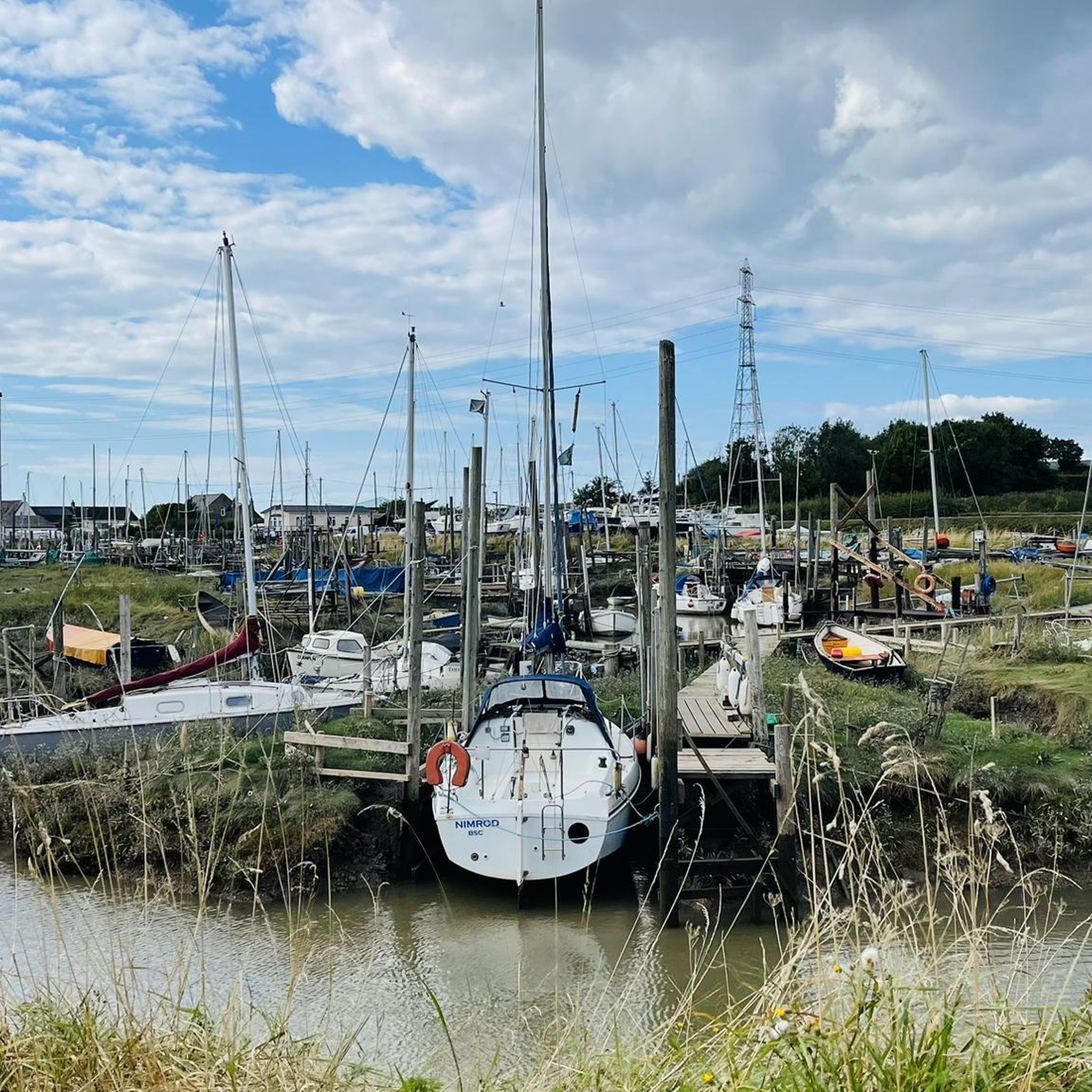
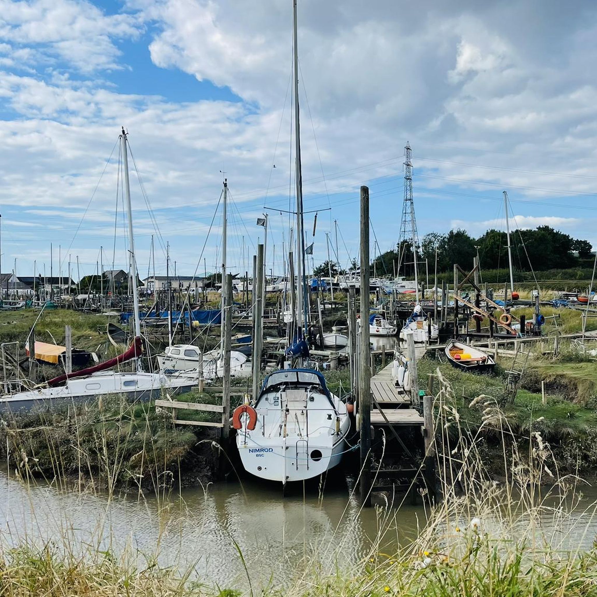
Great shortcut, saves about 12 miles on busy roads. Be sure to check if the ferry is running though, hours vary and are posted on their Facebook page. £3 for a passanger + bilke as of summer '25.
0
0


Check out the Knott End ferry times on their facebook page: https://www.facebook.com/FleetwoodtoKnottEndFerry/
0
0


From Blackpool Tower to Fleetwood is a good run (loop) stick to the far left of the Promenade away from the tourists best from 7pm
0
0

15 and 45 past until 1745 unless tide isn't there, I got caught out and have to cycle around
0
0
Always check their Facebook page for the current months sailing times - they do vary with the tides!
0
0
Frequently Asked Questions
Are there many circular walks in the Stalmine-with-Staynall area?
Yes, the area is well-suited for circular walks. Many routes combine sections of the Wyre Way with quiet country lanes and public footpaths to create loops of varying lengths. For a shorter, accessible option, the Stalmine Short Walk is a well-known local trail. For a more substantial coastal and urban loop, consider the Welcome Home Statue – Hall Gardens Café loop from Fleetwood.
What are the trails like? Is it difficult hiking terrain?
The terrain around Stalmine-with-Staynall is generally flat, characterized by riverside paths, coastal promenades, and quiet country lanes. Most routes are easy or moderate, making it accessible for most fitness levels. There are over 140 trails to choose from, with the vast majority (over 80) rated as easy. The main challenges can be muddy or boggy sections after rain, particularly on paths across open fields or near the salt marshes.
Are dogs allowed on the walking trails?
Dogs are welcome on most public footpaths in the area. The flat, open landscape is great for walking with a canine companion. However, you will be walking through farmland with livestock and near sensitive nature reserves like Burrows Marsh. It is essential to keep your dog on a lead and under control, especially during bird nesting season (spring and early summer).
What kind of scenery and wildlife can I expect to see?
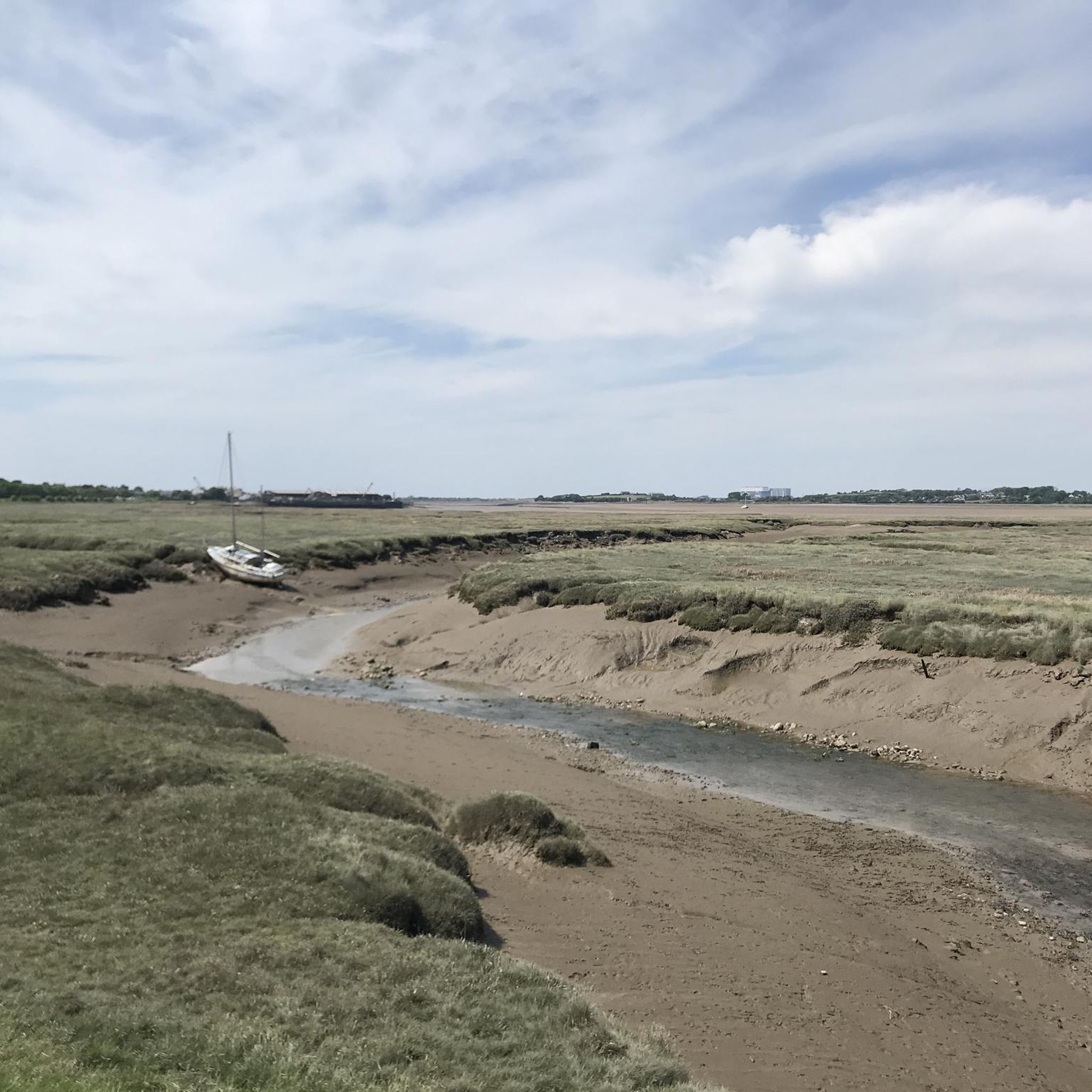
The landscape is dominated by the River Wyre estuary, offering expansive views across salt marshes and mudflats towards Morecambe Bay. The area is a haven for birdwatchers, with the Burrows Marsh and Barnaby's Sands nature reserves being key habitats for wintering waders and wildfowl. Expect to see species like oystercatchers, redshanks, and curlews. You might also spot roe deer in the surrounding countryside.
Are there any easy, family-friendly walks?
Absolutely. With over 80 easy-rated trails, there are plenty of options for a family outing. The terrain is mostly flat, and many paths are well-surfaced. The View of the Marshes – Knott End-on-Sea Promenade loop from Burn Naze is a great moderate option that is mostly flat and offers engaging coastal views to keep everyone interested.
Where is a good place to park for a walk?
Parking availability depends on your chosen route's starting point. For walks starting in Knott End-on-Sea, there is usually on-street parking and public car parks available. For more rural routes, parking is often limited to small lay-bys or informal spots near a public footpath entrance. Always park considerately and do not block gates or private driveways.
Can I access the trails using public transport?
Yes, several key starting points for walks are accessible by public transport. Towns like Knott End-on-Sea and Fleetwood have regular bus services, which provide access to the Wyre Way and other coastal paths. The Wyre Estuary Ferry also connects Fleetwood and Knott End, offering a scenic way to start or end a walk on either side of the river.
What do other hikers say about the routes around Stalmine-with-Staynall?
The komoot community rates the area's trails very highly. Reviewers often praise the peacefulness of the countryside, the beautiful panoramic views across the Wyre estuary, and the abundance of birdlife. The flat nature of most walks is frequently mentioned as a positive, making it an enjoyable and relaxing place to hike.
Are there any long-distance hiking options?
Yes, the main long-distance path is the Wyre Way, which runs for 41 miles along the River Wyre. You can tackle a significant portion of it from Stalmine-with-Staynall. For a challenging day hike that covers a large section, the The Wyre Way Fleetwood Peninsula Loop from Knott End is a nearly 18-mile circuit.
Are there any coastal walks?
The area is defined by its coastal and estuarine environment. Many trails follow the coastline or the river estuary. The Knott End-on-Sea Promenade – View of the Marshes loop from Knott End-On-Sea is a perfect example, offering fantastic views across the salt marshes. For a longer coastal experience, the Bispham Seafront – Blackpool Tower loop from Broadwater takes you along the famous promenade further down the coast.
Are there any historical points of interest on the walks?
While the main draw is nature, you can find historical interest in the area. The region has a history of salt mining and brine extraction, which shaped the landscape. Some walks may also pass near local landmarks like the war memorial in the St. James' Church churchyard in Stalmine.
Most popular routes around Stalmine-With-Staynall
Most popular attractions around Stalmine-With-Staynall

Get inspired with the komoot mobile app


Explore more
Browse the best Hikes in other regions.
