The best road cycling routes around Downholland
4.5
(122)
6,361
riders
316
rides
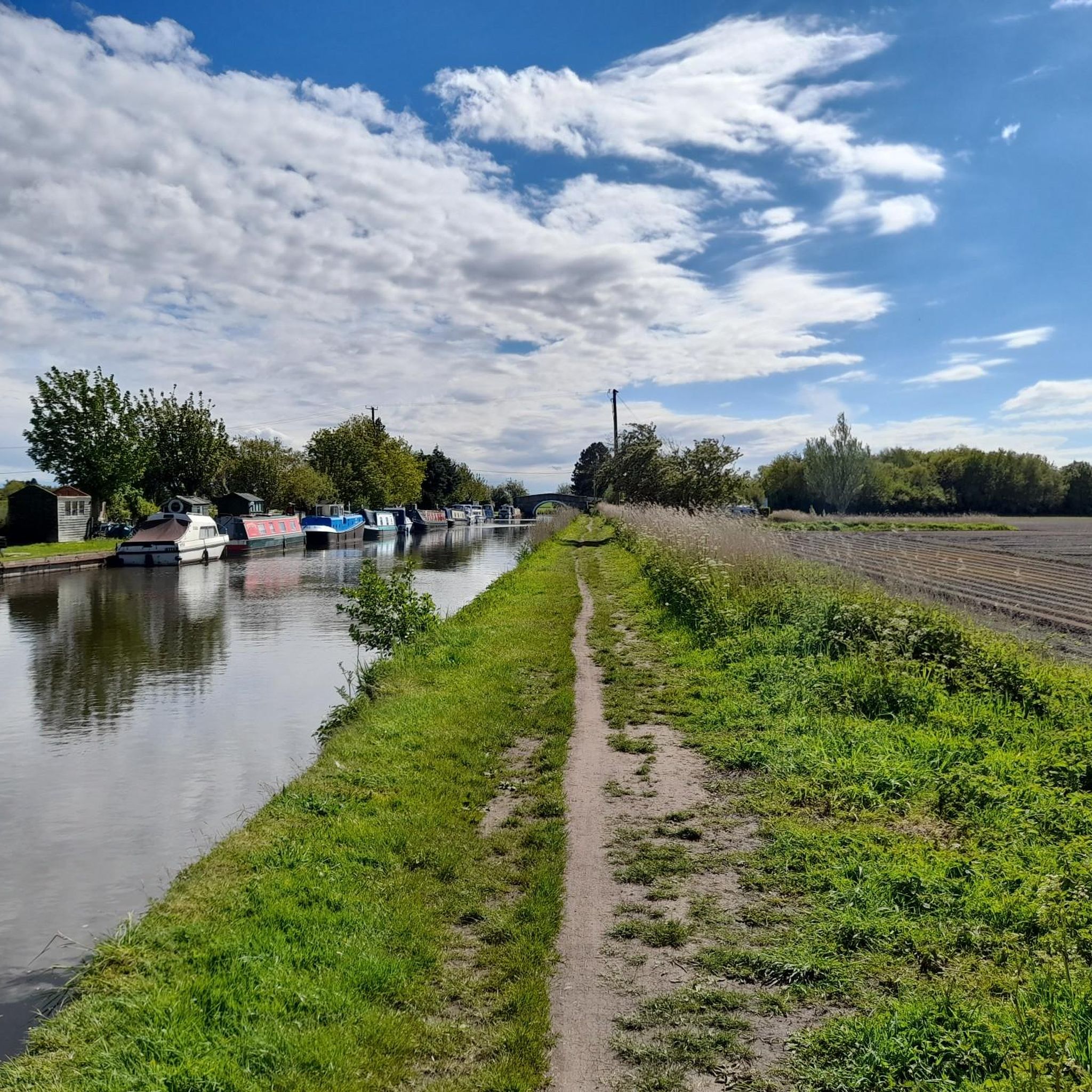
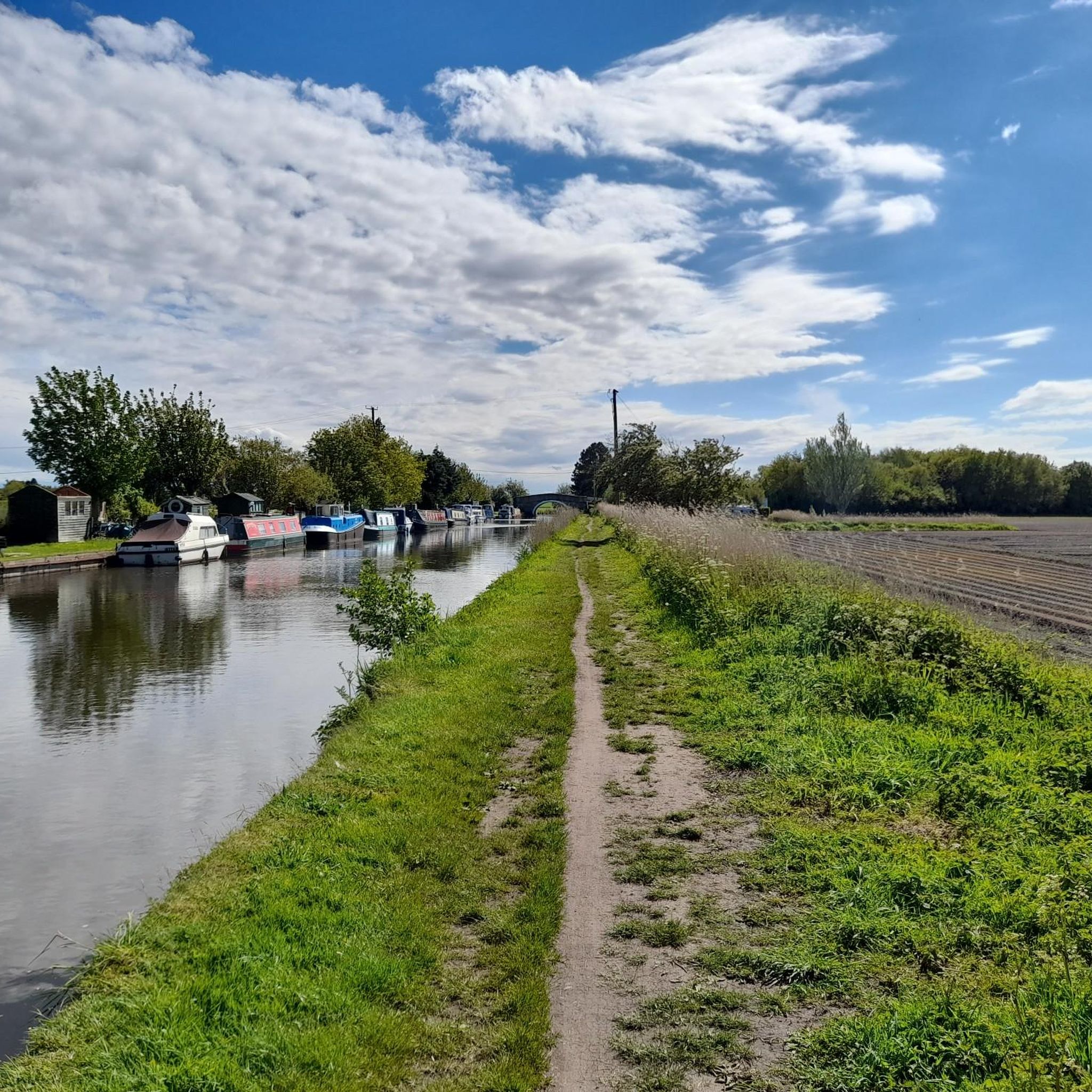
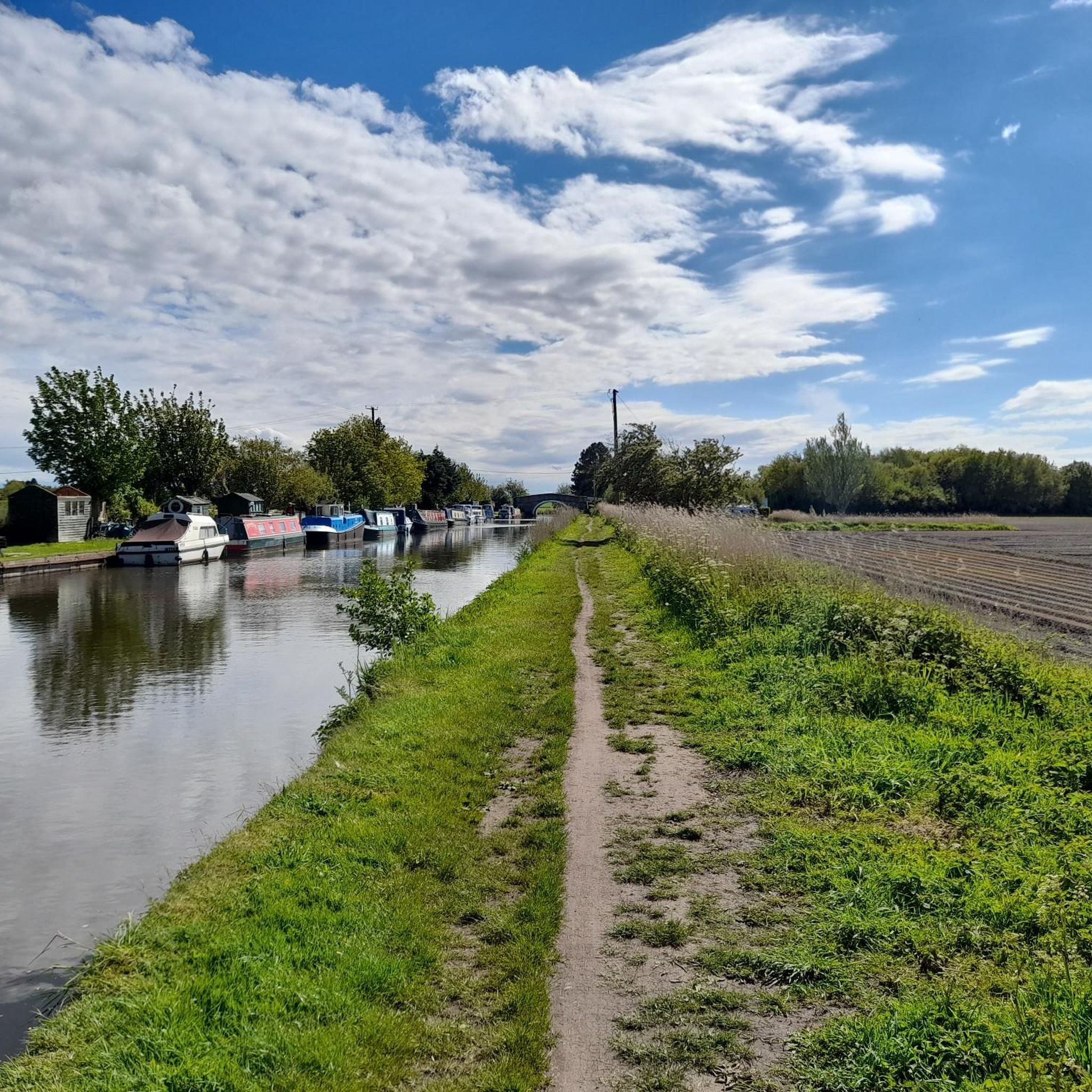
Road cycling around Downholland is characterized by a predominantly flat landscape, particularly the "moss lanes" between Ormskirk and Southport. The region offers extensive views over the West Lancashire Plain from its eastern parts, though significant climbs are infrequent. Cyclists can also find routes along canal towpaths, which provide traffic-free sections. This terrain makes Downholland suitable for various road cycling experiences.
Best road cycling routes around Downholland
- The most popular road cycling route is Burton Village – Royal Liver Building loop…
Last updated: June 27, 2026
4.8
(12)
297
riders
126km
05:18
550m
550m
Hard road ride. Very good fitness required. Some segments of this route may be unpaved and difficult to ride.
4.0
(1)
45
riders
51.6km
02:09
90m
90m
Moderate road ride. Good fitness required. Some segments of this route may be unpaved and difficult to ride.

Sign up for free
45
riders
26.4km
01:01
40m
40m
Easy road ride. Great for any fitness level. Mostly well-paved surfaces and easy to ride.
39
riders
23.5km
01:02
40m
40m
Easy road ride. Great for any fitness level. Mostly well-paved surfaces and easy to ride.
5.0
(1)
34
riders
25.9km
01:06
40m
40m
Easy road ride. Great for any fitness level. Mostly well-paved surfaces and easy to ride.
Get access to more routes and recommendations from other explorers.
Sign up for free
Already have an account?
Our route recommendations are based on thousands of hikes, rides, and runs completed by other people on komoot.
Start today with a free account
Your next adventure awaits.
Login or Signup
Tips from the Community

The statues are scattered up a long stretch of beach
0
0
There's two routes through, the short way -narrow path or a longer route of a wider surfaced path
0
0

AI Summary Rubble on Crosby Beach (often called "Blitz Beach") includes both 1941 WWII bomb damage and debris from 1960s/70s redevelopment. While primarily known as a dumping ground for Liverpool/Bootle Blitz debris, materials from later, post-war, and slum clearance projects were also used to reinforce the coastline against erosion. 1940s Material: Initial rubble deposited shortly after the 1941 blitz includes bricks, Victorian tiling, stone carvings, and architectural remnants from destroyed homes and landmarks. 1960s & Later Material: Subsequent landfill from later, post-war demolition projects was layered on top of the original wartime debris. Nature of the Site: This material was primarily intended as a cost-effective way to manage industrial waste and protect the coastline, rather than for structural engineering.
1
0

Great place for viewing wildfowl especially during the migration season.
0
0

Arnold Slot has refused to take this beautiful home after Klopp offered it and would rather stay in Warrington.
0
0

This area is now becoming INCORRECTLY named the Blitz beach. It was actually formed with demolition material from 1960's redevelopment in Liverpool and has nothing to do with the 1940/41 Blitz. It also contains material from the demolition of Fort Crosby in 1967. It's an indication of the power of Social Media that such a misunderstanding is taking a hold. Please stop using the term Blitz Beach because it isn't.
2
0

Ainsdale to Southport is a beltin ride, though you need to navigate around the Training Camp, but there's a tarmac path to do so.
1
0

Paid for toilets - 40p - it’s a little hit and miss (no pun intended) on whether they’ll accept your coins. They don’t give change either but when you have to go, you have to go.
2
0
Frequently Asked Questions
How many road cycling routes are available around Downholland?
There are over 300 road cycling routes around Downholland, catering to various skill levels. You'll find a wide selection, from easy rides to more challenging distances.
What is the typical terrain like for road cycling in the Downholland area?
The Downholland area is characterized by a predominantly flat landscape, especially the 'moss lanes' located between Ormskirk and Southport. While generally flat, the eastern parts of West Lancashire offer hillier terrain with splendid views over the expansive West Lancashire Plain, without encountering overly steep climbs. Canal towpaths also provide traffic-free sections, though some can be muddy in winter.
Are there routes suitable for beginners or families in Downholland?
Yes, Downholland offers many easy road cycling routes, with over 140 options available. The Sunset at Southport Pier – Southport Marina loop from RAF Woodvale is an easy 16.4-mile trail. The Cheshire Lines Path, a former railway track, is a traffic-free option ideal for families and casual riders, leading towards the Southport seafront.
What kind of landmarks or attractions can I see along road cycling routes?
Many routes offer scenic views and pass by interesting landmarks. You can cycle towards coastal areas and see attractions like Southport Pier, the Another Place Sculptures at Crosby Beach, or enjoy the natural beauty of Formby Beach. The Burton Village – Royal Liver Building loop from Formby connects coastal areas with urban landmarks.
Are there any circular road cycling routes around Downholland?
Yes, many of the road cycling routes around Downholland are designed as loops. For example, the Southport Pier – Marine Drive, Southport loop from Freshfield offers coastal scenery in a circular format. The View of Altcar Beach – Crosby Beach (Blundellsands) loop from Formby is another easy circular option.
What is the best time of year for road cycling in Downholland?
The generally flat terrain makes road cycling enjoyable for much of the year. However, the 'moss lanes' can be exposed to headwinds, and canal towpaths may become muddy in winter. Spring and summer typically offer the most pleasant conditions, with longer daylight hours and drier paths, though autumn can also be beautiful.
Are there places to stop for refreshments like cafes or pubs along the routes?
Yes, the quiet country lanes in West Lancashire provide opportunities to stop at numerous country pubs or coffee shops, enhancing the cycling experience with refreshment breaks. Many routes pass through villages or towns where such facilities are available.
What do other road cyclists enjoy most about the routes in Downholland?
The routes in Downholland are highly rated by the komoot community, with an average score of 4.5 stars from over 100 reviews. Cyclists often praise the predominantly flat terrain, which makes for accessible riding, and the scenic views of the West Lancashire Plain and coastal areas.
Is it possible to access road cycling routes in Downholland using public transport?
While specific public transport options for bikes can vary, West Lancashire has some train stations that may allow bikes, such as those on the Merseyrail network serving areas like Formby and Freshfield, which are starting points for several routes. It's advisable to check with local transport providers for their current bike policies.
Where can I find parking for road cycling routes in Downholland?
Many road cycling routes around Downholland start from towns or villages like Formby, Freshfield, or RAF Woodvale, which typically offer public parking facilities. For routes starting in more rural areas, roadside parking might be available, but it's always best to check specific starting points for designated parking areas.
Are there any challenging road cycling routes near Downholland?
While the region is known for its flat terrain, there are routes that offer greater distances and some elevation gain for a more challenging experience. The Burton Village – Royal Liver Building loop from Formby is a difficult 78.4-mile trail with over 500 meters of elevation gain, connecting coastal areas with urban landmarks.
What is the quality of the road surface like on the 'moss lanes' for cycling?
The 'moss lanes' are generally quiet country lanes, and while they offer a pleasant cycling experience, surface quality can vary. They are typically paved but may have sections that are less smooth than main roads. They are well-suited for road bikes, but cyclists should always be mindful of local conditions.
Most popular attractions around Downholland

Get inspired with the komoot mobile app


Explore more
Browse the best Road cycling routes in other regions.
