The best road cycling routes around Cuerdale
4.6
(254)
9,157
riders
417
rides
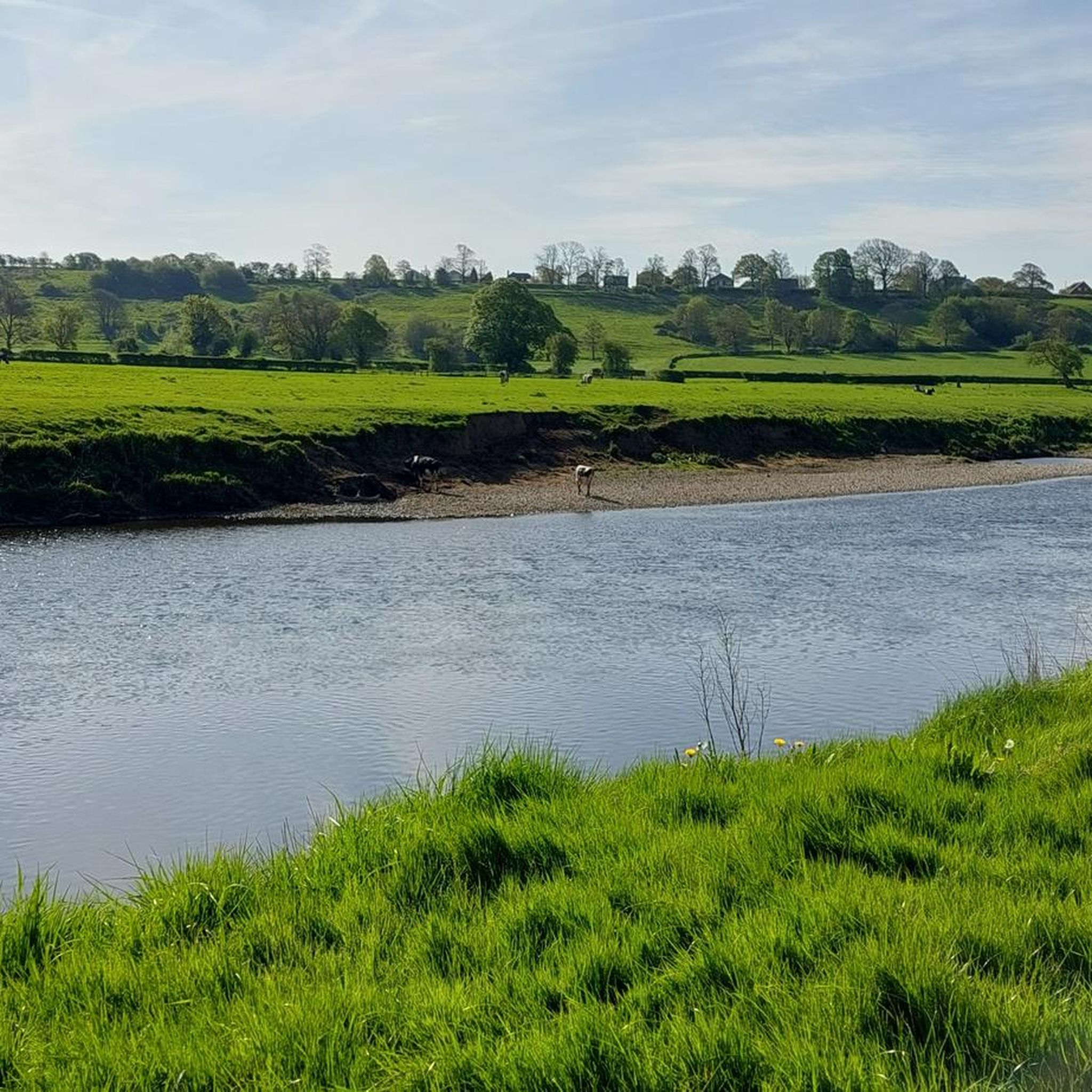
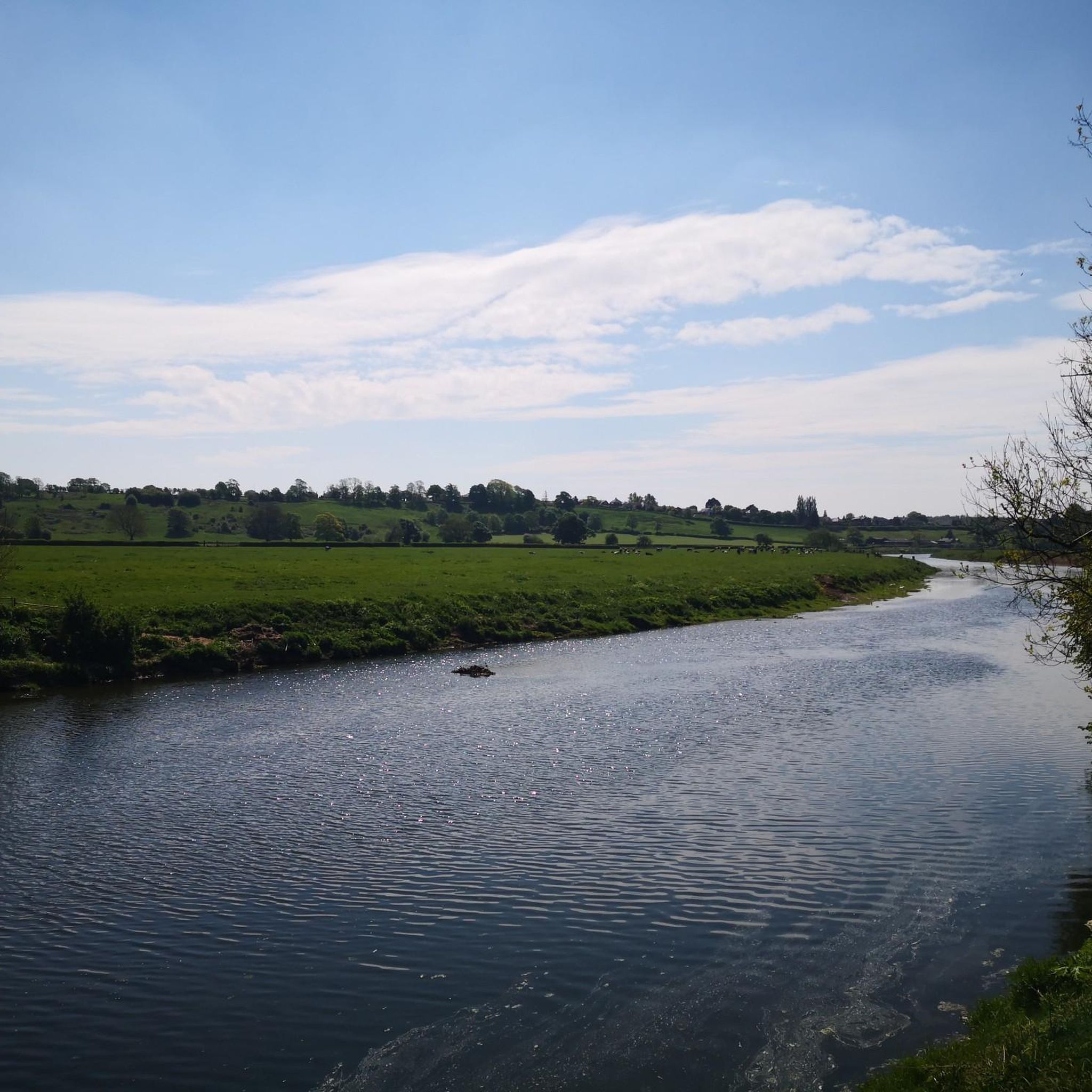
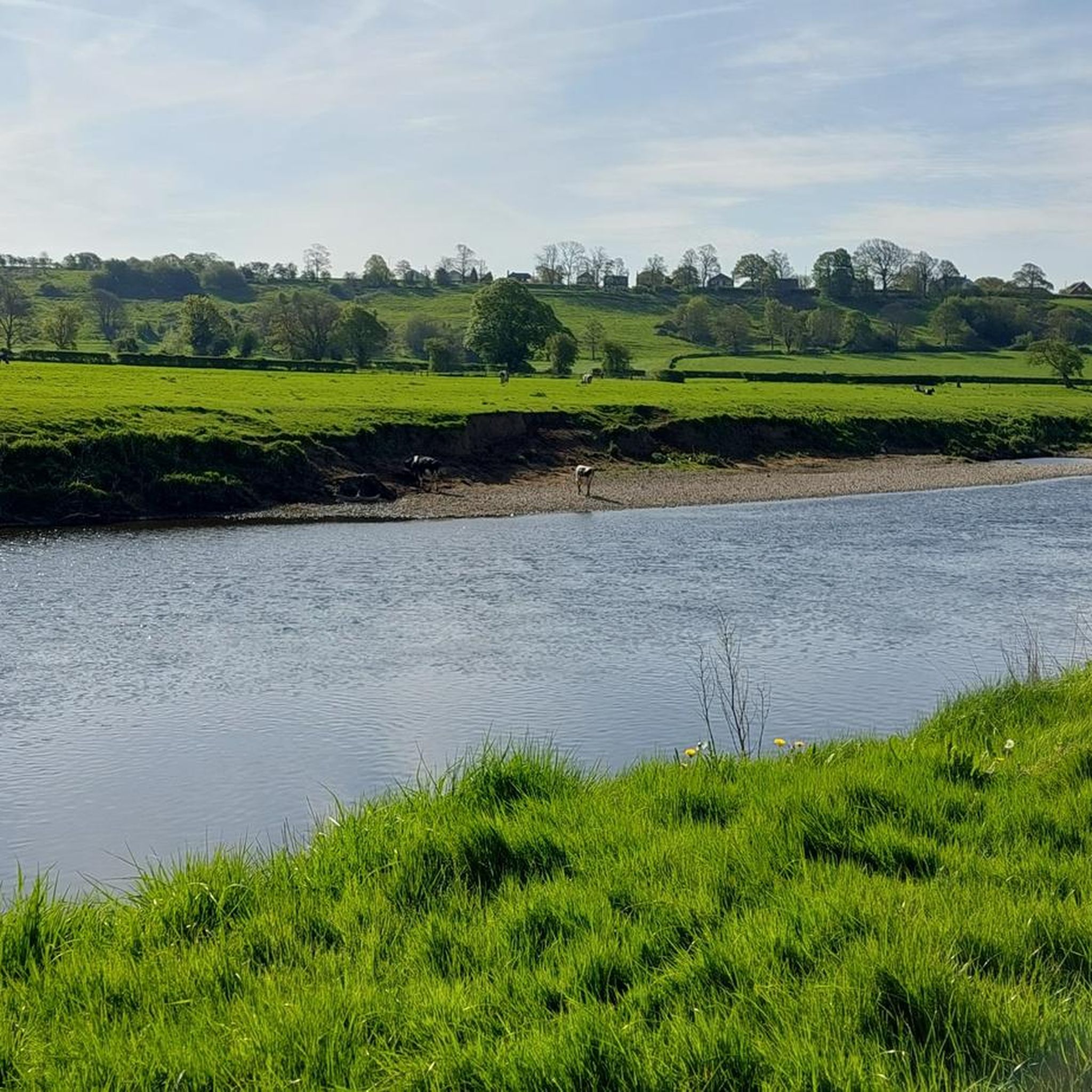
Road cycling routes around Cuerdale are situated on the south bank of the River Ribble, upstream from Preston in Lancashire. The area is characterized by its rural landscapes and wooded sections, offering a tranquil setting for cycling. Cuerdale's location within the picturesque Ribble Valley provides access to quiet roads and routes that often follow the River Ribble, featuring generally flatter terrains.
Best road cycling routes around Cuerdale
- The most popular road cycling route is Cavendish Arms – Withy Grove Park…
Last updated: August 22, 2026
3
riders
95.3km
04:36
1,130m
1,130m
Hard road ride. Very good fitness required. Mostly well-paved surfaces and easy to ride.
90
riders
113km
05:15
1,070m
1,070m
Hard road ride. Very good fitness required. Mostly well-paved surfaces and easy to ride.

Sign up for free
4.8
(6)
82
riders
49.7km
02:13
420m
420m
Moderate road ride. Good fitness required. Mostly well-paved surfaces and easy to ride.
4.3
(7)
70
riders
Moderate road ride. Good fitness required. Mostly well-paved surfaces and easy to ride.
4.3
(6)
74
riders
52.0km
02:09
150m
150m
Moderate road ride. Good fitness required. Some segments of this route may be unpaved and difficult to ride.
Get access to more routes and recommendations from other explorers.
Sign up for free
Already have an account?
Our route recommendations are based on thousands of hikes, rides, and runs completed by other people on komoot.
Start today with a free account
Your next adventure awaits.
Login or Signup

Tips from the Community


This is marked as an intermediate walk which, in the main is accurate. The walk starts with a steep incline, well covered in the walk description. What is less documented is the subsequent decent which can be challenging for the novice/ intermediate walker. The path down is narrow and the potential fall severe. Please be aware. Other than that, the walk offers wonderful views after the initial climb and relatively sedate walk after decent.
0
0

The actual centre of the British Isles is roughly 4 miles from the village but it is a pretty village to visit on the banks of the River Hodder.
0
1

first trip on an electric bike, I'm disabled with paralysis of left arm and was slightly apprehensive not just about my disability but the fact I hadn't owned or ridden a push bike in over 40 years. what a rush this was, apart from a small part that was more of a downhill rough path with 4 barriers with which I decided to walk down, nice and very scenic route and totally enjoyed ever part of it
0
0


🌿 The village is a gateway to stunning routes like the Trough of Bowland, Whin Fell, and along the River Dunsop. It’s perfect for peaceful countryside walks 📍 A phone box in the village marks the “exact center” of the United Kingdom, as determined by the Ordnance Survey. ☕ Puddleducks Café is great to grab a coffee and/or cakes at the start or end of your walk 🦌 The area is rich in wildlife, including deer, birds of prey, and rare wading birds, making it great for nature lovers. 🚴♂️ Also great pit-stop for cyclists heading through the Forest of Bowland’s quiet lanes and rolling hills
1
0

Great part of the canal to walk along.
0
0
Frequently Asked Questions
What kind of terrain can I expect on road cycling routes around Cuerdale?
Road cycling routes in Cuerdale primarily feature rural landscapes and wooded sections. Many routes follow the River Ribble, offering generally flatter terrains suitable for various fitness levels. However, the wider Ribble Valley area, which Cuerdale is part of, also provides access to more varied terrain, including some demanding climbs for those seeking a challenge.
How many road cycling routes are available in the Cuerdale area?
There are over 400 road cycling routes available around Cuerdale on komoot. These routes cater to various skill levels, with approximately 190 easy routes, over 200 moderate routes, and about 30 more difficult options.
Are there any family-friendly road cycling routes in Cuerdale?
Yes, Cuerdale offers several family-friendly options. The area includes routes that utilize traffic-free shale paths, which are ideal for novices and families. For example, the 'Exploring along Cuerdale Hoard' route, though 21.1 miles, features such paths. Many of the easier routes listed on komoot are also suitable for families looking for a pleasant ride.
What historical landmarks or points of interest can I see while cycling in Cuerdale?
Cuerdale is historically significant as the discovery site of the Cuerdale Hoard, the largest Viking silver hoard ever found outside Russia. A commemorative stone marks this location. Additionally, you might pass by the historic Cuerdale Hall. For a route that includes points of historical interest, consider The Cavendish Arms, Brindle – Hoghton Tower War Memorial loop from All Saints' Church.
Are there any routes that pass by natural attractions like waterfalls or nature reserves?
Yes, some routes offer views of natural attractions. For instance, the Roach Bridge Waterfall loop from Hoghton leads through rural landscapes and past the waterfall. You can also find routes that pass near Brockholes Nature Reserve, a beautiful area along the River Ribble.
What do other cyclists say about road cycling in Cuerdale?
The road cycling routes in Cuerdale are highly rated by the komoot community, with an average score of 4.7 stars from over 200 reviews. Cyclists often praise the tranquil rural setting, the quiet roads, and the scenic views of the Lancashire countryside.
Are there circular road cycling routes available in Cuerdale?
Yes, many of the road cycling routes around Cuerdale are designed as loops, allowing you to start and finish at the same point. Examples include the popular Cavendish Arms – Withy Grove Park Playground loop from St Leonard's Church and the Fishwick Local Nature Reserve – Miller Park Fountain loop from Samlesbury.
What is the best time of year to go road cycling in Cuerdale?
Cuerdale offers a pleasant setting for road cycling throughout much of the year. Spring and summer typically provide the most favorable weather conditions for enjoying the rural landscapes and quiet roads. Autumn can also be beautiful with changing foliage, though weather can be more unpredictable.
Is there public transport access to Cuerdale for cyclists?
Yes, Cuerdale is accessible by public transport. Some routes, like the 'Exploring along Cuerdale Hoard' recreational cycle route, conveniently start near Preston Fishergate Hill railway station, making it easier for cyclists to reach the area without a car.
Where can I find parking for road cycling routes in Cuerdale?
While specific parking areas for each route are not always designated, many routes start from villages or near amenities where public parking may be available. For routes starting near Preston, you can often find parking options in and around the city center or near railway stations, providing a convenient base for your ride.
Are there cafes or pubs along the road cycling routes in Cuerdale?
Given the rural nature of Cuerdale, you'll find charming pubs and cafes in nearby villages and towns. Routes often pass through or near places like Hoghton or Brindle, where you can find establishments to refuel. For example, the The Cavendish Arms, Brindle – Hoghton Tower War Memorial loop from All Saints' Church starts near a pub, offering a convenient stop.
What is the typical elevation gain on road cycling routes in Cuerdale?
Many routes along the River Ribble feature relatively gentle elevation gains, making them accessible. For example, the Old Tram Bridge – Withy Grove Park Playground loop from All Saints' Church has an elevation gain of around 110 meters. While Cuerdale itself offers flatter options, the broader Ribble Valley region can provide routes with more significant climbs for those seeking a greater challenge.
Most popular attractions around Cuerdale

Get inspired with the komoot mobile app


Explore more
Browse the best Road cycling routes in other regions.
