The best walks and hikes around Cuerdale
4.5
(1089)
8,397
hikers
439
hikes
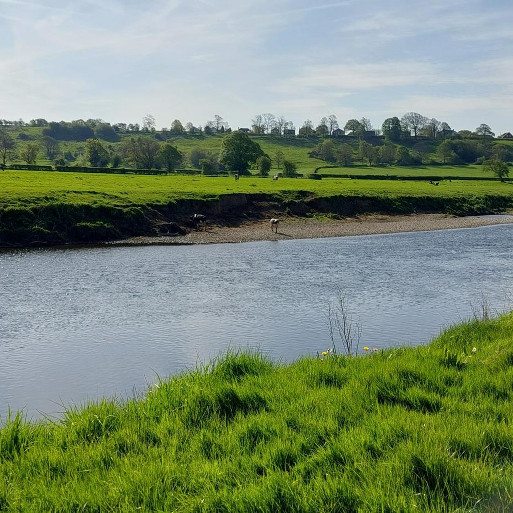
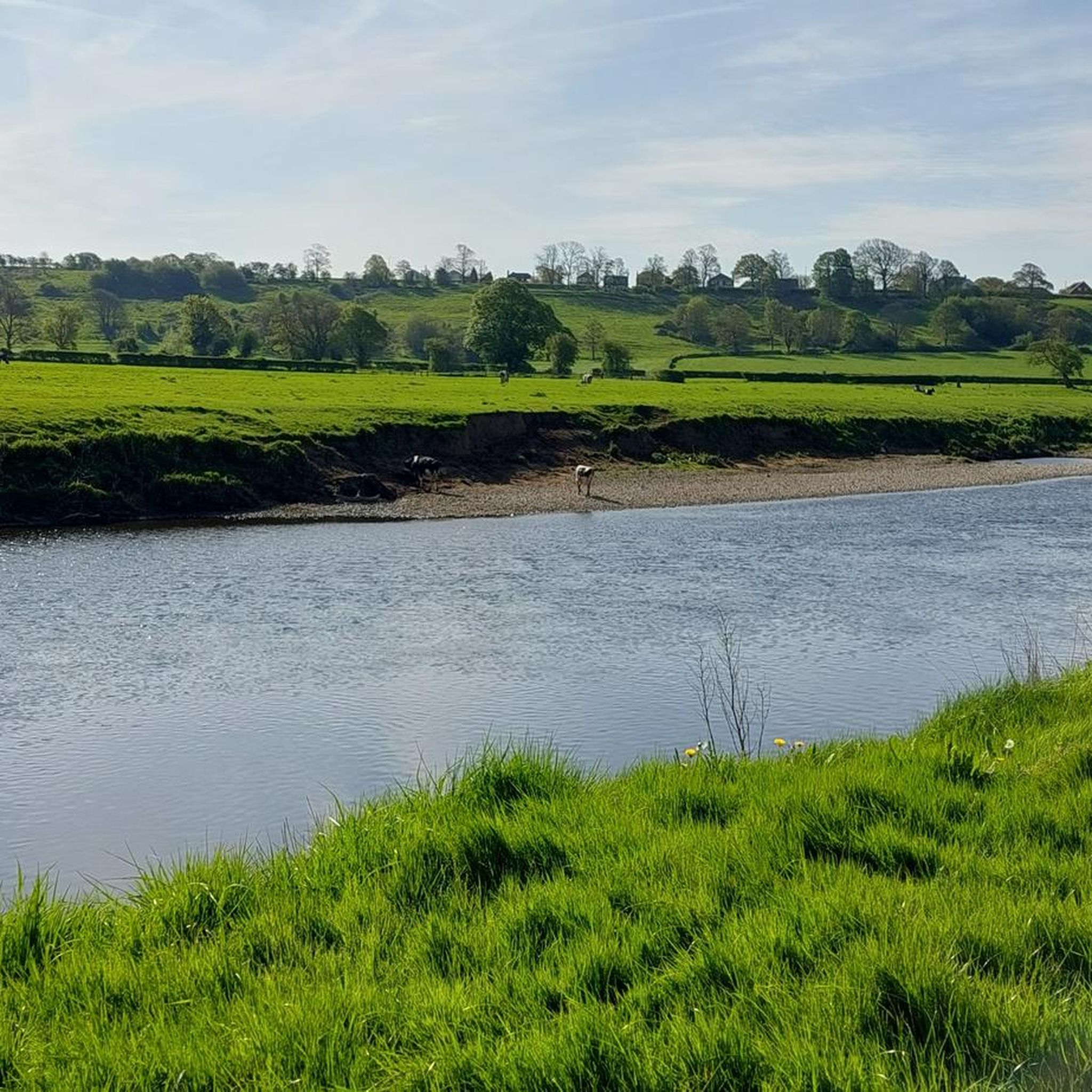
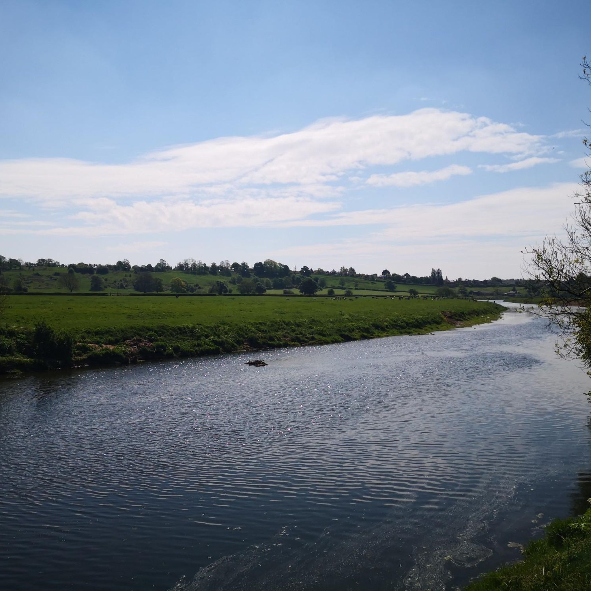
Hikes around Cuerdale explore a landscape shaped by the meandering River Ribble and its surrounding valley. The area is characterized by a mix of riverside paths, open fields, and sections of woodland, such as Boilton Wood. The terrain is generally low-lying with gentle gradients, making it accessible for a wide range of walking abilities.
Best hiking trails around Cuerdale
- The most popular hiking route is the Boilton Wood – Brockholes Nature Reserve loop from Ribble Village, a 4.9 mile…
Last updated: July 5, 2026
3.7
(7)
119
hikers
Moderate hike. Good fitness required. Easily-accessible paths. Suitable for all skill levels.
4.6
(5)
16
hikers
13.0km
03:19
40m
40m
Moderate hike. Good fitness required. Easily-accessible paths. Suitable for all skill levels.

Sign up for free
3.3
(3)
13
hikers
Easy hike. Great for any fitness level. Easily-accessible paths. Suitable for all skill levels.
11
hikers
4.58km
01:10
10m
10m
Easy hike. Great for any fitness level. Easily-accessible paths. Suitable for all skill levels.
5.0
(1)
1
hikers
Easy hike. Great for any fitness level. Easily-accessible paths. Suitable for all skill levels.
Get access to more routes and recommendations from other explorers.
Sign up for free
Already have an account?
Our route recommendations are based on thousands of hikes, rides, and runs completed by other people on komoot.
Start today with a free account
Your next adventure awaits.
Login or Signup

Tips from the Community

Lots of hideaways to stop and admire the wildlife
1
0

Brockholes is a new kind of nature reserve: an unreserved reserve that brims with wildlife, teaches the next generation about the wonders of nature, and gives back to the local community through Myplace and Forest School projects. This former sand and gravel quarry has been transformed into a natural haven. Fields brimming with orchids and yellow rattle, woods shining bright with bluebells, and tranquil lakes all transport you to a magical wonderland. Spring sees the beginning of the Brockholes baby boom as lapwings, oystercatchers, redshank and more breed on Meadow Lake and Number 1 Pit. And don’t miss a walk through the woodland to admire vast carpets of beautiful bluebells. In May, whimbrel roost in large numbers, while throughout spring and summer swifts, sand martins and hobbies create fantastic aerial displays over the lakes. As the sun shines, the reserve literally buzzes with insects. Clouds of damselflies rest on leaves and paths, and dragonflies dart across the water. Five and six-spot burnet moths weigh down every flower, while small copper, common blue and comma butterflies seem to flit from every corner. Don’t miss the chance to spot the elusive white-letter hairstreak butterfly, which can be seen at Brockholes for just three weeks spanning July and August. Autumn is the time to see ospreys passing over Brockholes on their way back to Africa, while in winter, the reserve is packed with migratory waders. Winter is also a great time to try and see bitterns as they venture out onto the ice.
2
0
Brockholes was previously a major quarry extraction site. The land was bought by the Trust in January 2007, and the reserve opened to the public at Easter 2011. It has been regenerated as a mosaic of key habitats such as pools, reedbeds and woodland. The reserve is aimed less at dedicated bird-watchers and nature lovers than the general public of the big cities. The riverbank is covered in steaming ferns and rampant Himalayan balsam. Brockholes offers a wide range of events throughout the year and over 250 acres of trails and hides. It has already seen record numbers of breeding wading birds along with visitors such as osprey, otter and bittern. Now it's a beautiful nature reserve with amazing wildlife.
6
0
Neolithic to Saxon finds from along the River Ribble during the creation of the Preston Docks and others revealed man has been in the area for a long time. The River Ribble looked completely different then and the coastline is likely to have been much further inland than it is at present where land has been reclaimed and the marsh extended out into the River Ribble due to sedimentation. The Ribble would appear to have been known in Roman times as the Belisama,possibly giving its name to Samlesbury. Ptolemy's "Belisama aest." seems to represent the estuary of the Ribble. Bremetennacum was a Roman fort that guarded a crossing-point of the river at Ribchester. Remains of another Roman site were discovered at Walton-le-Dale in the mid-19th century.
7
0

Just be careful here as the gradient is steep and the cobles are 'slippery when wet' - do as the signage says - dismount!
0
0

The Ribble Way is a 116km long distance trail following the course of the river Ribble. It starts at Gayle Moor near Ribblehead and ends at Longton near Preston. The whole trail would be a tough challenge to run although it's waymarked, well surfaced and fairly flat. It does make really good sections and worth looking out for wherever you are based. Here in south Preston the trail runs along the river through the south of the city. The section through Avingham Park is very pretty with the bridges and viaducts over the river and the ornamental park to the north. You can make a nice loop using it and the parks on both sides of the river if you fancy it.
0
0
Frequently Asked Questions
Are there easy hikes around Cuerdale suitable for families?
Yes, Cuerdale offers many family-friendly options. The terrain is generally gentle, with numerous low-lying paths. A great choice is the Brockholes Nature Reserve loop from Samlesbury, which is a short and easy walk through a fantastic reserve with plenty to see for all ages.
Can I bring my dog on hikes in Cuerdale?
Many trails in the Cuerdale area are suitable for walking with dogs, but they should be kept under control, especially near livestock in open fields and in nature reserves. Local spots like Mason's Wood are known to be good for dog walking. Always check for specific restrictions on your chosen route.
Are there any hikes that include a pub stop?
Yes, you can easily combine a walk with a visit to a traditional pub. The Nabs Head Samlesbury Walk, a five-mile route through scenic countryside, conveniently ends near the Nabs Head pub, making it a perfect option for a post-hike refreshment.
Are there trails focused on the history of the Cuerdale Hoard?
Absolutely. The best way to explore this history is on the Cuerdale Heritage Trail. This 3.4-mile circular walk takes you through the landscape where the famous Viking treasure was discovered in 1840, with panels along the way providing historical context.
Where is the best place to park for walks in the Cuerdale area?
Parking availability depends on your chosen trail. Many routes start from villages like Samlesbury or Walton-le-Dale where on-street parking may be available. For specific walks, like those around Samlesbury Hall or Brockholes Nature Reserve, dedicated car parks are provided, though charges may apply.
Are most of the walking routes in Cuerdale circular?
Yes, a majority of the popular, well-documented trails in and around Cuerdale are designed as circular or loop walks. This allows you to start and finish in the same location without needing to retrace your steps, which is ideal for planning your day.
What do other hikers enjoy most about the Cuerdale area?
The area is highly regarded by the komoot community. Reviewers often praise the peaceful riverside paths along the River Ribble, the well-maintained trails through nature reserves like Brockholes and Fishwick, and the gentle, rolling countryside that makes for relaxing walks.
Can I find waterfalls on hikes near Cuerdale?
While the immediate Cuerdale area is known more for its river valley, you can find waterfalls a short drive away. Roddlesworth Waterfall, near Tockholes, is a popular spot for walkers looking to add some dramatic scenery to their hike.
What options are there for longer hikes around Cuerdale?
For those seeking a more substantial walk, there are several moderate-difficulty trails. The Fishwick Local Nature Reserve loop from Walton-le-Dale offers a pleasant 4.5-mile (7.3 km) ramble along the river, providing a longer experience without being overly strenuous.
How many hiking trails are available in the Cuerdale region?
There is a vast network of paths to explore. You can find over 400 routes in and around Cuerdale on komoot, ranging from short, easy strolls to more challenging full-day hikes, ensuring there's a trail for every ability level.
What are some notable natural spots for hiking near Cuerdale?
The area is rich with natural beauty. Key spots for hikers include the tranquil riverside paths along the River Ribble, the diverse habitats of Brockholes Nature Reserve, and the peaceful woodlands of Boilton Wood. For a quiet walk, the Withnell Nature Trail along an old railway line is also a great option.
Is it possible to reach the hiking trails using public transport?
Yes, the Cuerdale area is reasonably accessible. Being close to Preston, many trailheads can be reached by bus services that run to surrounding villages like Samlesbury and Walton-le-Dale. It's best to check local bus timetables to plan your journey to a specific starting point.
Most popular attractions around Cuerdale

Get inspired with the komoot mobile app


Explore more
Browse the best Hikes in other regions.
