The best walks and hikes around Hothersall
4.4
(1327)
9,259
hikers
272
hikes
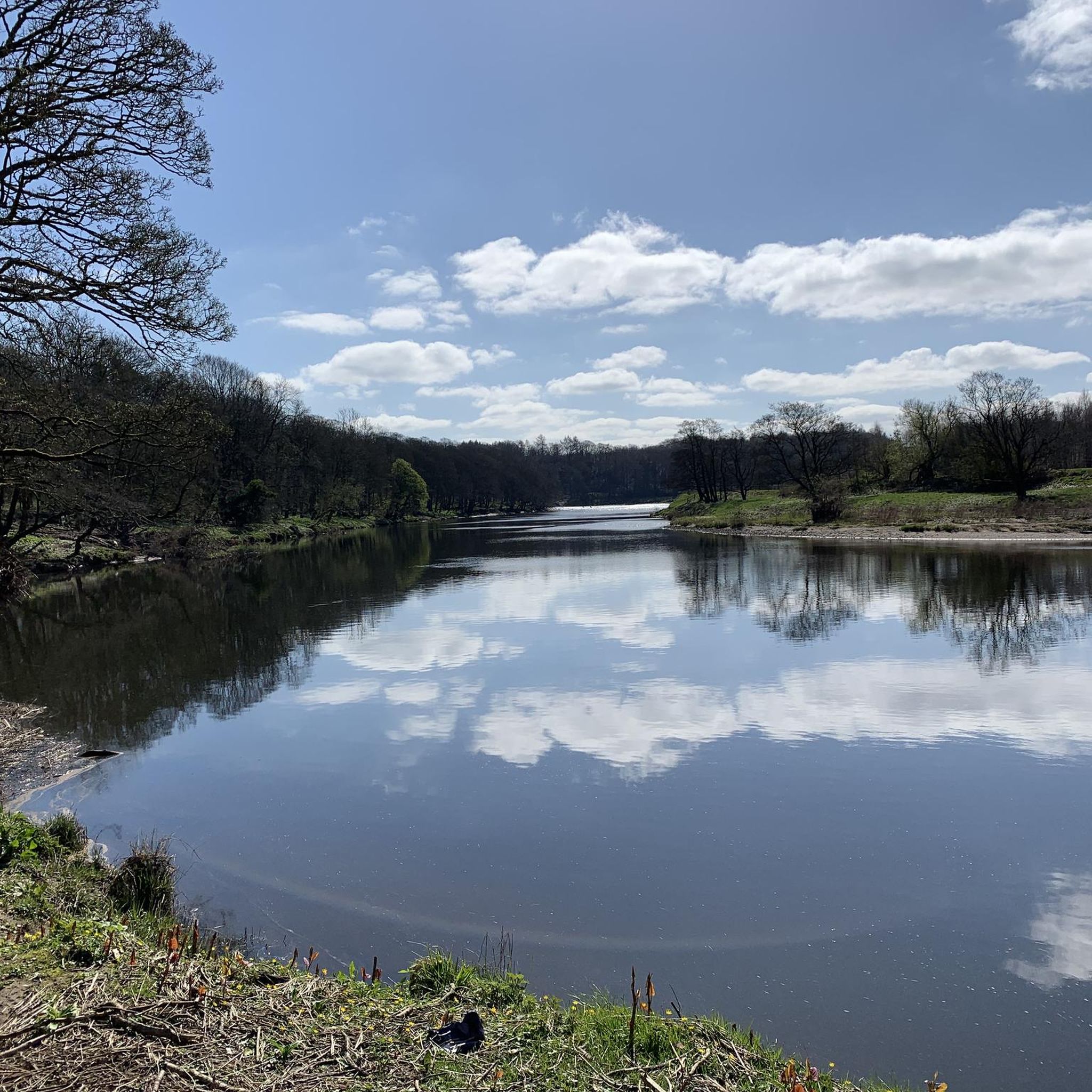
Hiking around Hothersall offers diverse landscapes, from scenic river valleys to ancient woodlands and expansive fells. Situated on the northern bank of the River Ribble, the area features riverside paths and trails through varied terrain. Longridge Fell provides panoramic viewpoints, while Brockholes Nature Reserve offers exploration of wetlands and woodlands. This region provides a mix of natural beauty and historical interest for outdoor enthusiasts.
Best hiking trails around Hothersall
- The most popular hiking route is Ribchester Village – Ribchester Arms…
Last updated: June 25, 2026
4.5
(2)
8
hikers
14.7km
03:59
200m
200m
Moderate hike. Good fitness required. Easily-accessible paths. Suitable for all skill levels.
7
hikers
Easy hike. Great for any fitness level. Easily-accessible paths. Suitable for all skill levels.

Sign up for free
5.0
(2)
6
hikers
16.6km
04:25
180m
180m
Moderate hike. Good fitness required. Easily-accessible paths. Suitable for all skill levels.
4.5
(2)
7
hikers
Moderate hike. Good fitness required. Easily-accessible paths. Suitable for all skill levels.
5
hikers
11.4km
03:02
120m
120m
Moderate hike. Good fitness required. Easily-accessible paths. Suitable for all skill levels.
Get access to more routes and recommendations from other explorers.
Sign up for free
Already have an account?
Our route recommendations are based on thousands of hikes, rides, and runs completed by other people on komoot.
Start today with a free account
Your next adventure awaits.
Login or Signup
Tips from the Community

Quirky Cafe, well worth a stop for the great food and surroundings.
0
0

I have not tried the food there, but the beer garden was a good place to stop for a drink mid-way when I extended the Tolkien trail to start at Marles wood in the summer. And the cosy fire-place was a treat at the end of the classic Tolkien trail in the winter.
0
0

Great to grab a sandwich or coffee before the walk. Delicious omelettes.
0
0

Stop here. Landlady Charlotte (like most Charlottes) is an utterly delightful and generous human. One way or another I intend to return. Oh, and great beer and good too!
0
0

Fantastic for a mid ride stop.. great coffee, great food.. a must!!!
0
0

public toilets at the start of a number of potential routes
0
0
car park, not well advertised. has an honety box for payment
0
0
Frequently Asked Questions
What kind of landscapes and terrain can I expect when hiking around Hothersall?
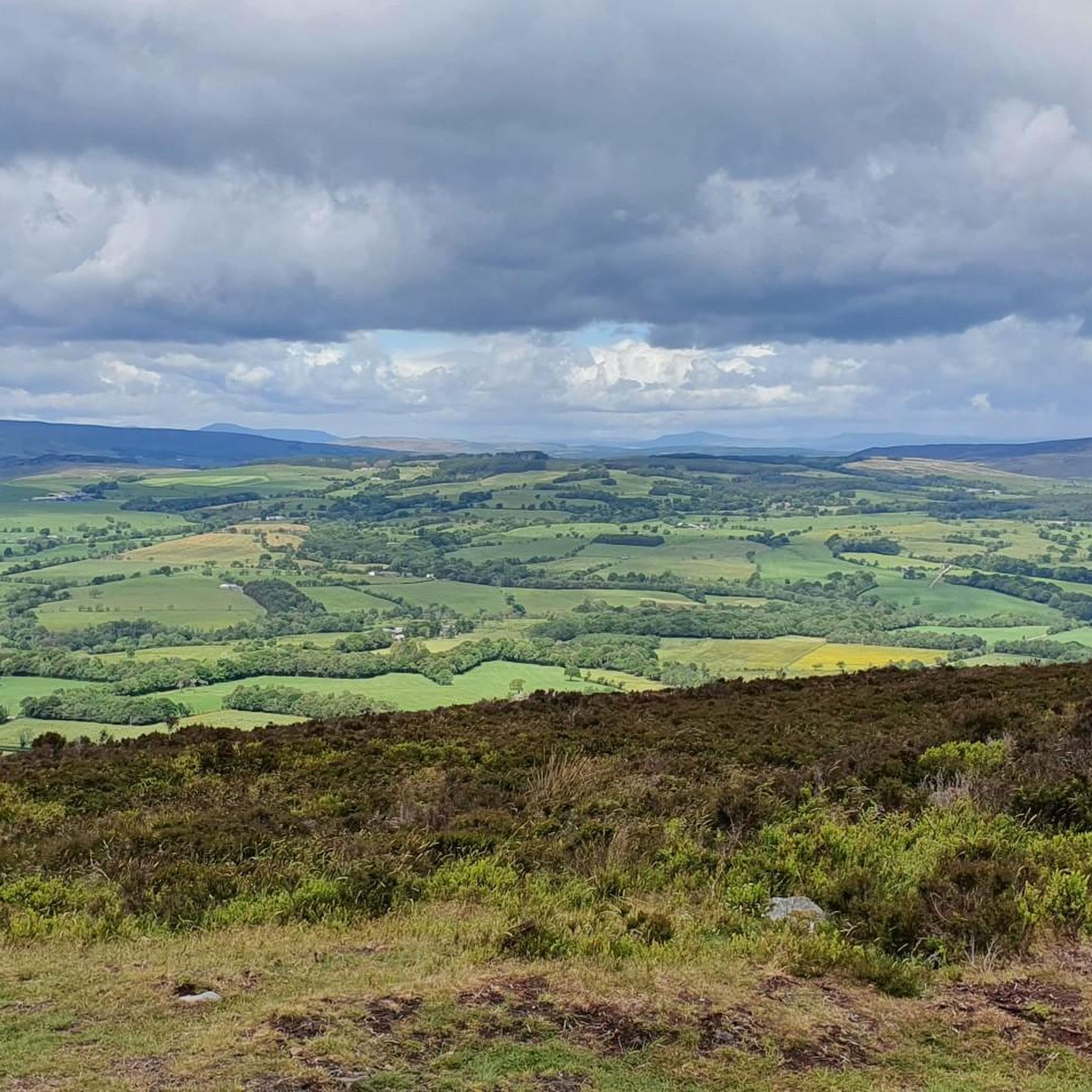
Hothersall offers a diverse range of landscapes, from scenic river valleys along the River Ribble and its tributaries to ancient woodlands and expansive fells like Longridge Fell. You'll find a variety of terrains, including riverside paths, woodland trails, and moorlands. Some areas, such as trails around Hoghton Bottoms Weir, can be boggy, suggesting a more rugged experience.
How many hiking trails are available in Hothersall?
There are over 270 hiking routes available around Hothersall, catering to various fitness levels and preferences. This includes a mix of easy strolls and more challenging routes.
Are there any easy, family-friendly walks in the area?
Yes, Hothersall offers several easy walks suitable for families. For instance, the Ribchester Village – Bremetennacum Roman Fort Ruins loop from Ribchester is an easy 3.2-mile (5.1 km) path that explores historical sites and riverside scenery, perfect for a leisurely outing.
What are some notable natural features or viewpoints to look out for on hikes?
The region boasts several natural highlights. You can explore the picturesque sandstone gorge and tumbling weir at Hoghton Bottoms Weir and Viaduct. Longridge Fell offers panoramic viewpoints, and the Confluence of the Rivers Calder and Ribble is a significant natural landmark. For wildlife, Brockholes Nature Reserve provides diverse ecosystems from wetlands to woodlands.
Are there any historical sites or attractions accessible from the hiking trails?
Absolutely. The area is rich in history. You can visit the Stonyhurst College, known for its historic 16th-century buildings. Many trails, like the Ribchester Village – Bremetennacum Roman Fort Ruins loop, pass by the ruins of the Bremetennacum Roman Fort, offering a glimpse into the past.
What do other hikers say about the trails in Hothersall?
The routes in Hothersall are highly regarded by the komoot community, with an average score of 4.4 stars from over 1100 reviews. Hikers often praise the varied terrain, from river valleys to fells, and the well-established footpaths that wind through woodlands and moorlands.
Are there any challenging hikes for experienced walkers?
While many routes are moderate or easy, there are 11 more challenging hikes available around Hothersall for those seeking a more strenuous experience. These routes often involve greater elevation changes and longer distances.
Can I find circular walking routes in Hothersall?
Yes, many of the hiking trails around Hothersall are designed as circular routes, allowing you to start and finish at the same point. Examples include the Ribchester Village – Ribchester Arms loop and the Ribchester Arms – Ribchester Village loop from Longridge.
Is public transport available to access hiking trails in Hothersall?
While Hothersall is a rural parish, public transport options to access specific trailheads may be limited. It's advisable to check local bus services for routes connecting to nearby villages like Ribchester, which often serve as starting points for many popular hikes.
Are there places to eat or stay near the hiking trails?
The villages surrounding Hothersall, such as Ribchester and Longridge, offer amenities including pubs and cafes where you can refresh after a hike. Accommodation options are also available in these nearby settlements.
Are dogs allowed on the hiking trails in Hothersall?
Many trails in the Hothersall area are dog-friendly, especially those that follow public footpaths through woodlands and along rivers. However, always keep dogs under control, particularly when passing through farmland with livestock, and adhere to local signage regarding dog access.
Where can I find panoramic views during my hike?
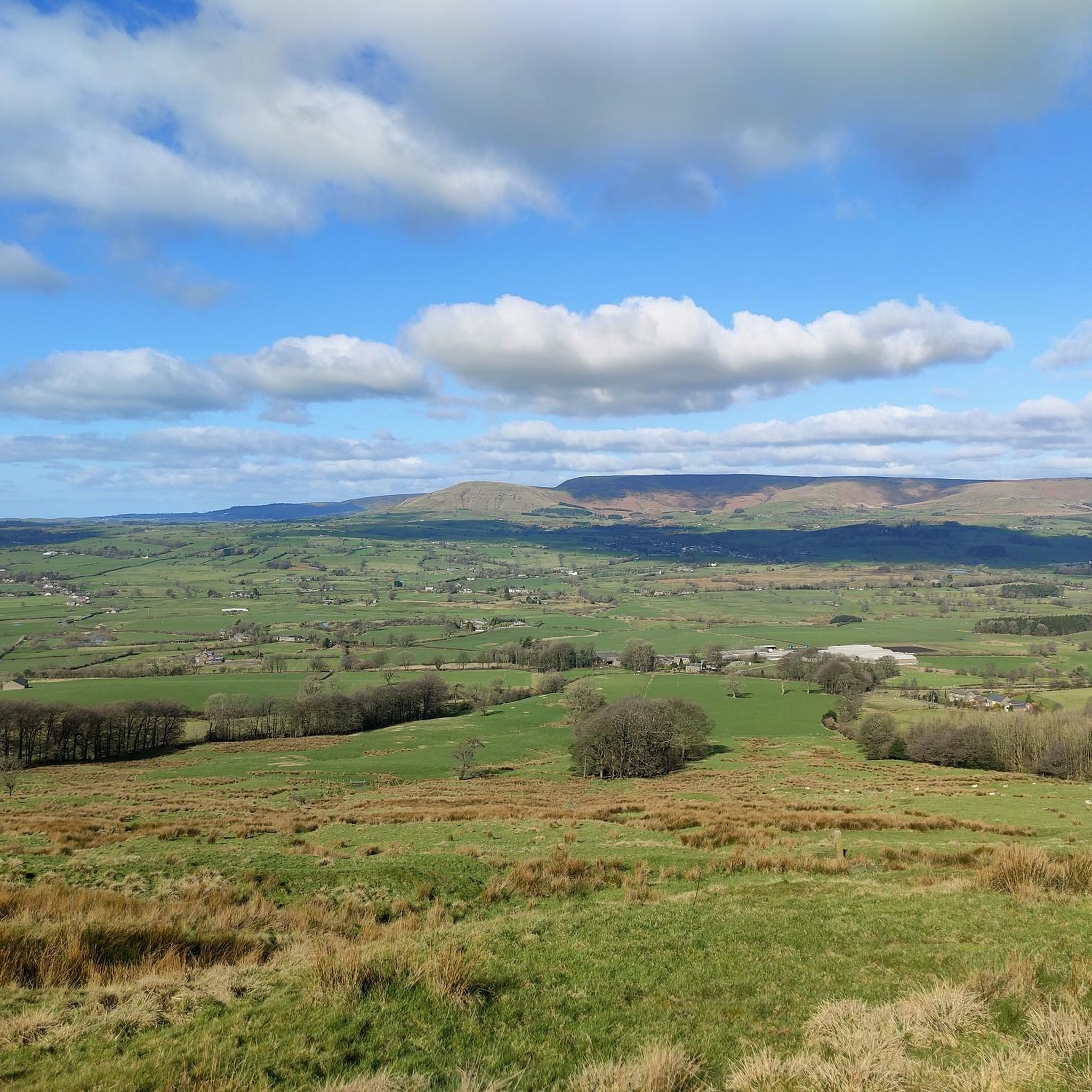
For panoramic views, head towards Longridge Fell. It's a prominent feature in the landscape with well-established footpaths that lead to excellent viewpoints, offering expansive vistas of the surrounding countryside.
Most popular attractions around Hothersall

Get inspired with the komoot mobile app


Explore more
Browse the best Hikes in other regions.
