The best road cycling routes around Mansergh
4.7
(88)
3,990
riders
165
rides
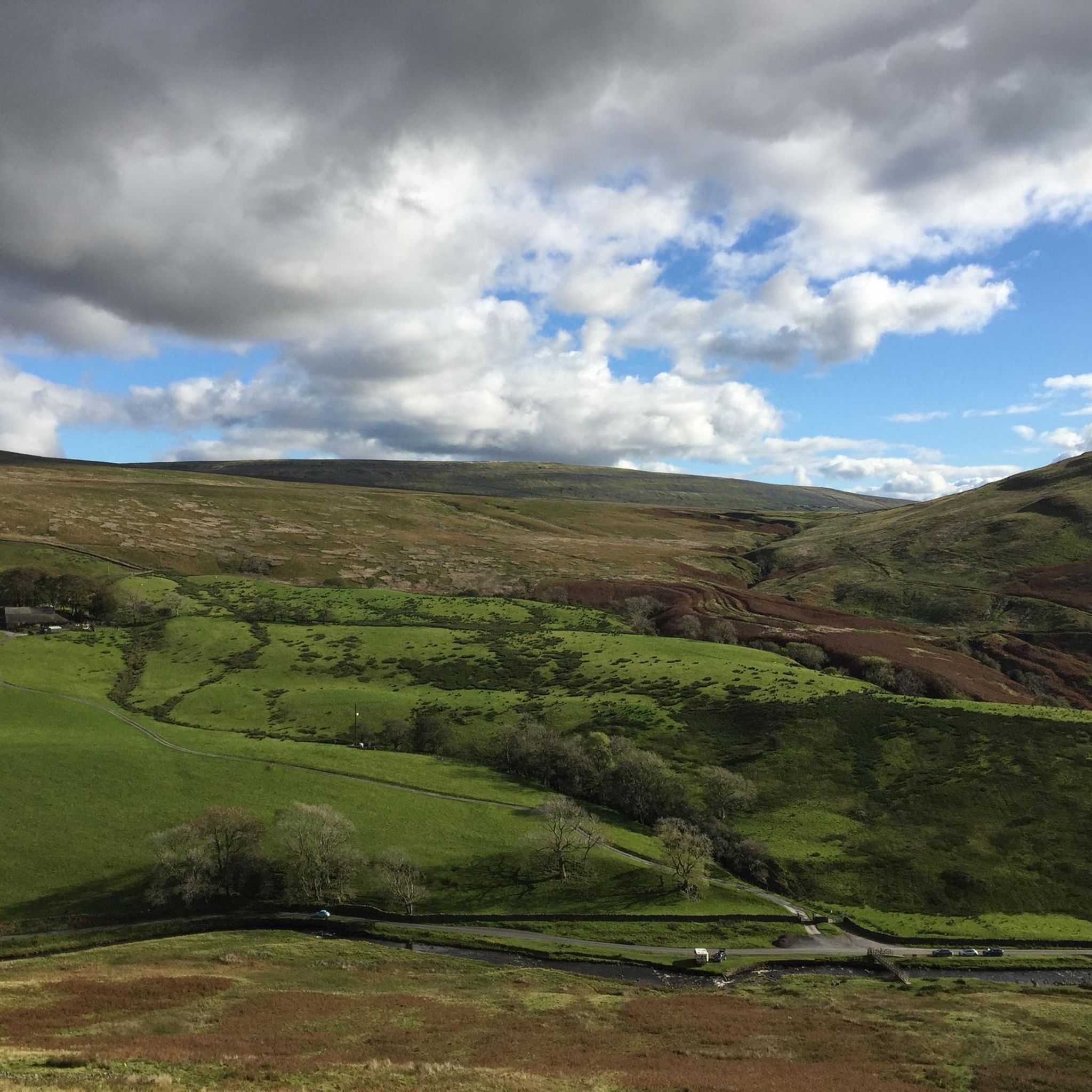
Road cycling routes around Mansergh traverse a landscape characterized by rolling hills, river valleys, and open rural roads. The area features varied terrain, including ascents and descents through areas like Barbondale Valley. Views of wider regions such as the Forest of Bowland and Morecambe Bay are accessible from certain routes. This region offers a network of roads suitable for different levels of road cycling.
Best road cycling routes around Mansergh
- The most popular road cycling route is Barbondale Valley –…
Last updated: May 25, 2026
5.0
(2)
85
riders
42.9km
02:25
730m
730m
Moderate road ride. Good fitness required. Mostly well-paved surfaces and easy to ride.
51
riders
Moderate road ride. Good fitness required. Some segments of this route may be unpaved and difficult to ride.

Sign up for free
29
riders
25.8km
01:18
320m
320m
Moderate road ride. Good fitness required. Mostly well-paved surfaces and easy to ride.
24
riders
32.0km
01:25
330m
330m
Moderate road ride. Good fitness required. Mostly well-paved surfaces and easy to ride.
22
riders
81.7km
03:31
710m
710m
Moderate road ride. Good fitness required. Mostly well-paved surfaces and easy to ride.
Get access to more routes and recommendations from other explorers.
Sign up for free
Already have an account?
Our route recommendations are based on thousands of hikes, rides, and runs completed by other people on komoot.
Start today with a free account
Your next adventure awaits.
Login or Signup

Tips from the Community

Great place to stop for lunch. Picnic benches, loos and river views.
0
0

Big climb out of Giggleswick. It does end eventually but it might make you question why cycling is your favorite hobby.
0
0
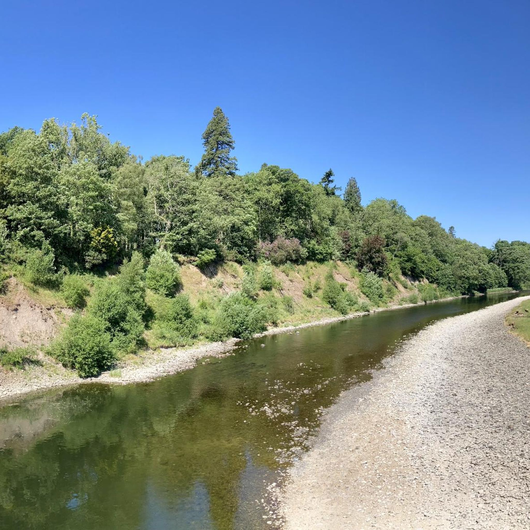
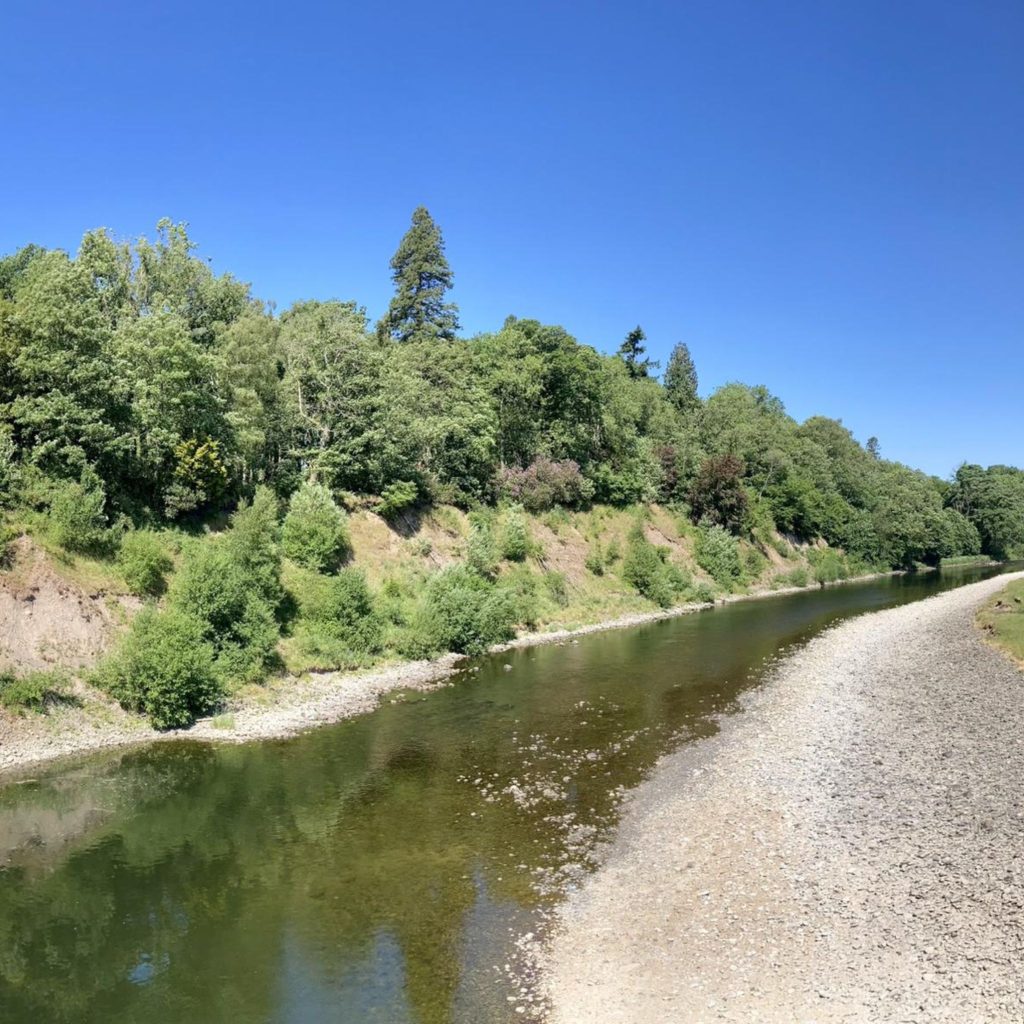
Stunning views of the river. The bridge has lots of benches and is the perfect spot for a picnic.
0
0

A super nice spot to stop with great views out over the river.
0
0
If you are cycling the LEJOG, as we were, this is a great stop. Outside seating, nice food, friendly service, and plenty of room for your bikes. We were a team of six and there was still room for more.
0
0

Great cycling road in either direction, steady climb with a couple of tough sections heading east. Tough climb at the start heading west then a great descent! My favourite road!
0
0

Almost traffic free
0
0
Very busy at weekend/ bank hols with. Motor bikes parking up for a natter
0
0
Frequently Asked Questions
How many road cycling routes are available around Mansergh?
There are over 160 road cycling routes around Mansergh, offering a wide range of options for different skill levels and preferences.
What kind of terrain can I expect on road cycling routes around Mansergh?
The Mansergh area is characterized by rolling hills, scenic river valleys, and open rural roads. You'll encounter varied terrain, including notable ascents and descents through areas like the Barbondale Valley. Many routes also offer expansive views towards the Forest of Bowland and Morecambe Bay.
Are there easy road cycling routes suitable for beginners in Mansergh?
Yes, Mansergh offers 33 easy road cycling routes, perfect for beginners or those looking for a more relaxed ride. These routes typically feature less elevation gain and shorter distances.
Can I find long-distance road cycling routes in Mansergh?
Absolutely. For a longer ride, consider the Mewith Lane – View of the Forest of Bowland loop from Kirkby Lonsdale, which covers nearly 80 km and offers extensive views across varied rural terrain.
Where can I find challenging road cycling routes in Mansergh?
For experienced cyclists seeking a challenge, Mansergh has 23 difficult routes. These often feature significant elevation gains and longer distances, traversing the more demanding parts of the region's hilly landscape.
Are there circular road cycling routes around Mansergh?
Many of the road cycling routes in Mansergh are designed as loops, allowing you to start and finish at the same point. For example, the popular Barbondale Valley – Barbon Dale Road loop from Kirkby Lonsdale is a moderate 42.8 km circular route.
What are some notable viewpoints or attractions along Mansergh's cycling routes?
Road cycling routes around Mansergh often pass through or near scenic areas. You can find stunning views towards the Forest of Bowland and Morecambe Bay. The region also features natural attractions like the Barbondale Valley and various peaks such as The Helm Trig Point.
What do other road cyclists enjoy most about cycling in Mansergh?
The road cycling experience in Mansergh is highly rated by the komoot community, with an average score of 4.8 stars from over 80 reviews. Cyclists frequently praise the varied terrain, the scenic rural roads, and the challenging ascents through areas like the Barbondale Valley.
Are there routes that offer views of Morecambe Bay?
Yes, some routes provide excellent views of Morecambe Bay. The View of Morecambe Bay – Fast Road to Kirkby loop from Kirkby Lonsdale is a moderate 32 km route specifically designed to showcase these coastal vistas.
What is the best time of year for road cycling in Mansergh?
While road cycling is possible year-round, the spring and summer months (April to September) generally offer the most favorable weather conditions with milder temperatures and longer daylight hours, making it ideal for exploring Mansergh's routes.
Are there any routes that pass through the Forest of Bowland area?
While Mansergh is adjacent to the Forest of Bowland, some routes offer expansive views towards it. The Mewith Lane – View of the Forest of Bowland loop from Kirkby Lonsdale is a prime example, providing stunning panoramas of the forest across varied rural terrain.
Most popular attractions around Mansergh

Get inspired with the komoot mobile app


Explore more
Browse the best Road cycling routes in other regions.
