The best road cycling routes around Lower Holker
4.8
(115)
4,074
riders
139
rides
Road cycling around Lower Holker offers diverse terrain with mostly well-paved surfaces, catering to various fitness levels. The region features scenic routes that often pass through picturesque areas, providing views of the surrounding natural beauty. Its proximity to the Lake District means cyclists can access routes extending into fells and valleys, though Lower Holker itself is characterized by gentler landscapes. The road surface quality on many routes is generally good, supporting smooth rides across the area.
Best road cycling routes…
Last updated: October 4, 2026
5.0
(1)
42
riders
53.2km
02:43
540m
540m
Moderate road ride. Good fitness required. Mostly well-paved surfaces and easy to ride.
32
riders
Moderate road ride. Good fitness required. Mostly well-paved surfaces and easy to ride.

19
riders
110km
05:23
1,210m
1,210m
Hard road ride. Very good fitness required. Mostly well-paved surfaces and easy to ride.
7
riders
94.8km
05:00
1,510m
1,510m
Hard road ride. Very good fitness required. Mostly well-paved surfaces and easy to ride.
7
riders
Easy road ride. Great for any fitness level. Mostly well-paved surfaces and easy to ride.
Get access to more routes and recommendations from other explorers.
Already have an account?
Our route recommendations are based on thousands of hikes, rides, and runs completed by other people on komoot.
Start today with a free account
Your next adventure awaits.
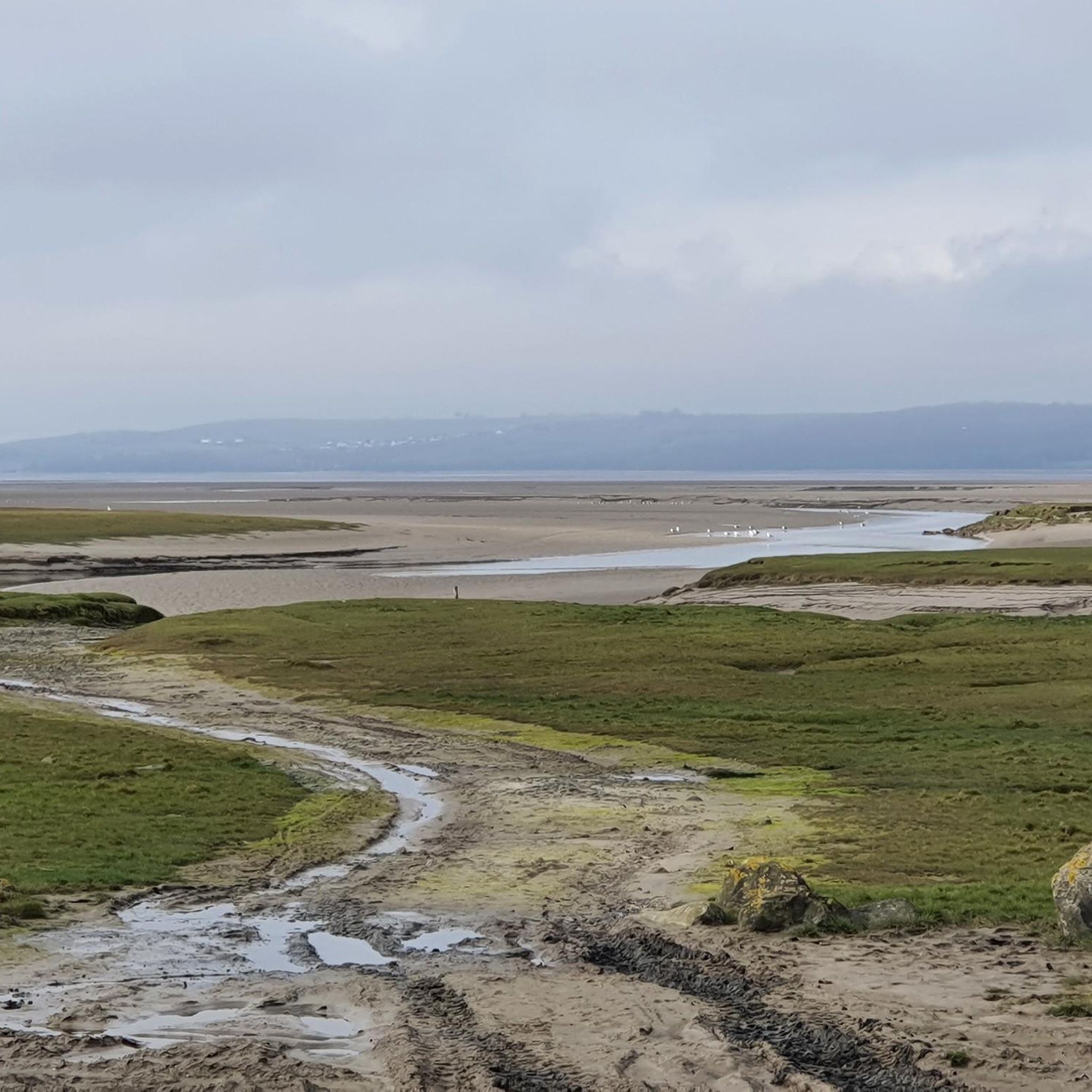
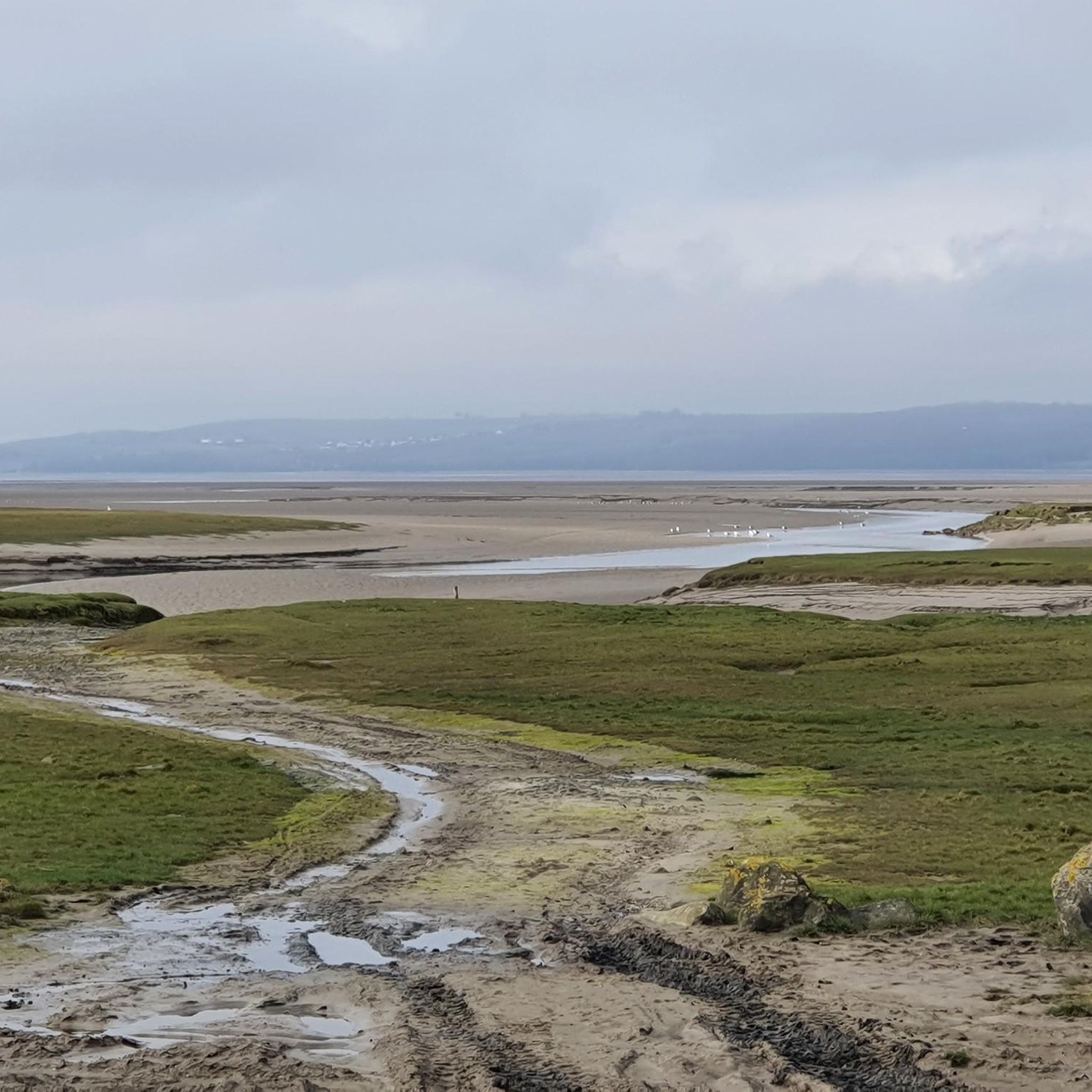
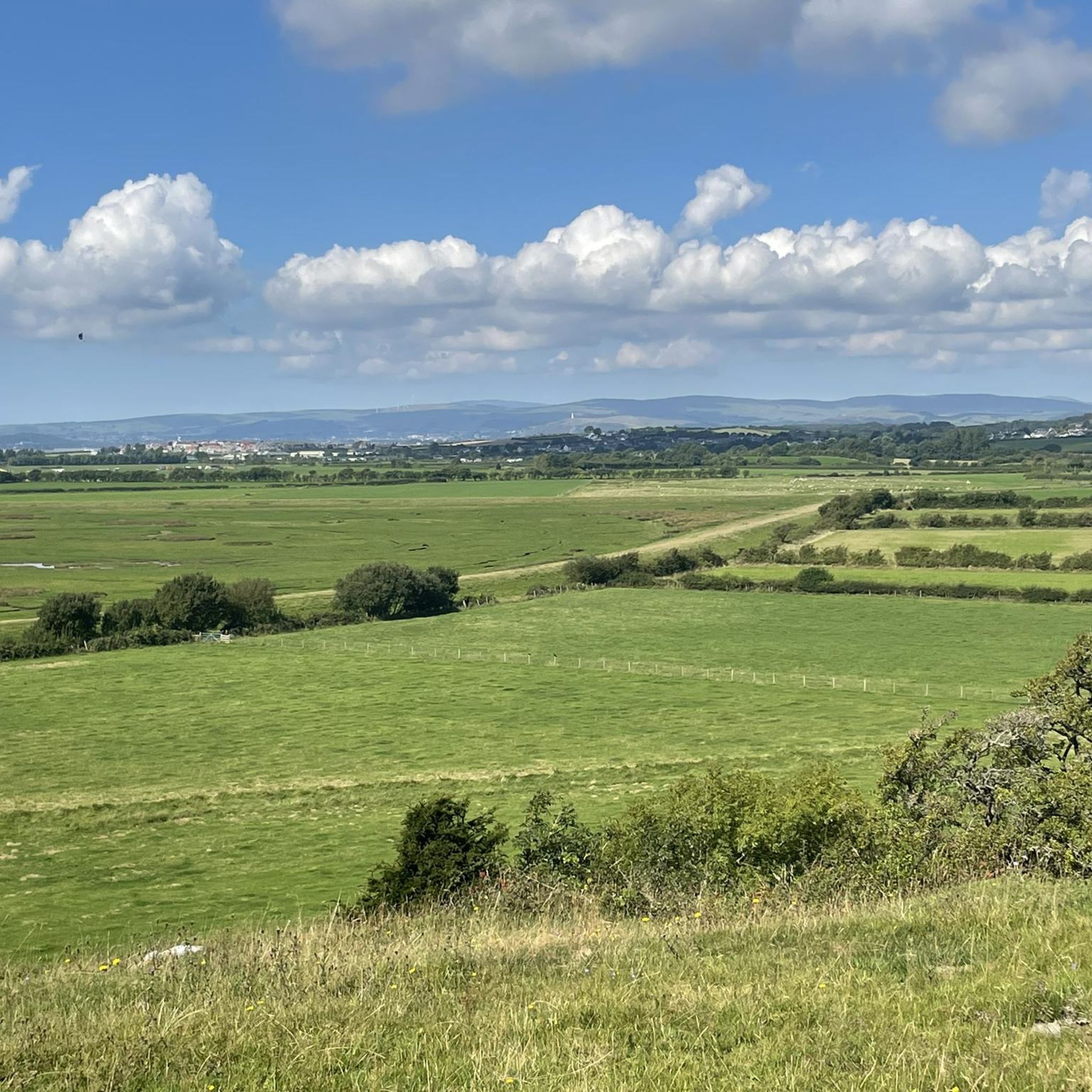
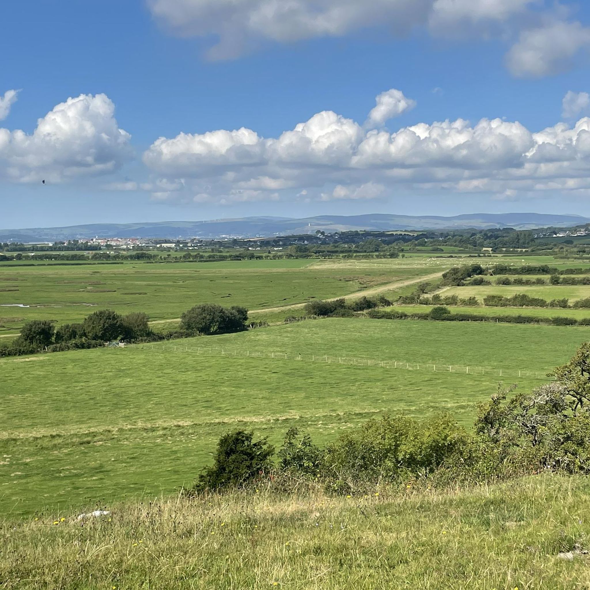

Tips from the Community

Tree lined lane with great views at times, be aware the road surface isn't the best and in tourist season especially at weekends it can be busy with vehicles and some dodgy parking!
0
0

Grizedale is a well-known forest area, located between Coniston Water and Lake Windermere in the southern part of the Lake District. The forest is managed by Forestry England and is known for its outdoor adventures, extensive routes with contemporary art sculptures, and as the home of the only native red deer population in England. (Forestry England)
6
0

Large car park - which can be paid for with card. You will need your card.
0
0

A lovely gentle ride - we went in September and it was glorious
0
0


After crossing the bay, the original tries to take you down the A590, a dual carriageway with cars doing 70 mph for 350 m to the roundabout. Not Safe or advisable!
0
0
Nice little stopping spot on Grange Prom. Tasty coffee and selection of cakes & snacks
0
0
Not one I’d heard of until I stumbled across it, pretty steep for a 1/2 mile or f so
0
0
Frequently Asked Questions
How many road cycling routes are available around Lower Holker?
There are over 150 road cycling routes available around Lower Holker, catering to various preferences and fitness levels. These include a good mix of easy, moderate, and difficult options.
What are the different difficulty levels for road cycling routes in Lower Holker?
Lower Holker offers a diverse range of routes:
- Easy Rides: Around 50 routes are suitable for any fitness level, typically up to 2 hours with moderate elevation gain.
- Moderate Rides: Over 70 routes provide a good workout, extending up to 5 hours with more significant elevation.
- Difficult Rides: About 25 routes are designed for experienced cyclists, demanding very good fitness and potentially exceeding 5 hours or 3,000 feet of elevation gain. Some sections might even require pushing your bike.
What is the road surface quality like for cycling in Lower Holker?
Road cycling around Lower Holker benefits from mostly well-paved surfaces, ensuring smooth rides across the area. While the majority are excellent, some moderate or difficult routes, particularly those venturing into the fells, might include short unpaved or more challenging segments.
Are there circular road cycling routes in Lower Holker?
Yes, many of the road cycling routes in Lower Holker are designed as loops, allowing you to start and finish in the same location. For example, the Grizedale Valley – Hawkshead Village loop from Cark and Cartmel and the Quiet Lanes at Foulshaw Moss – Cartmel Village and Stream loop from Cark and Cartmel are popular circular options.
What natural landscapes and attractions can I see while road cycling near Lower Holker?
Road cycling routes often pass through picturesque areas with views of natural beauty. You can explore the scenic Cartmel Village and Stream, or venture towards the Arnside Knott for stunning vistas. The region's proximity to the Lake District also means some routes extend into its fells and valleys, offering dramatic backdrops.
Are there any historical sites or landmarks along the cycling routes?
Yes, several routes pass by notable landmarks. The Holker Hall and Gardens – Cartmel Village and Stream loop from Humphrey Head takes you past the historic Holker Hall & Gardens. Other points of interest in the wider area include the Sir John Barrow Monument and the Birkrigg Stone Circle.
Is there parking available for cyclists in Lower Holker?
Yes, parking is generally available in and around Lower Holker, particularly in villages like Cark and Cartmel, which serve as common starting points for many routes. Specific parking details can often be found on individual route pages.
Can I reach Lower Holker by public transport with my bike?
Lower Holker and nearby villages like Cark and Cartmel are accessible by public transport. Cark-in-Cartmel has a train station, and local bus services operate in the area. It's advisable to check with the specific transport provider regarding their bike carriage policies before planning your journey.
Are there places to stop for refreshments or accommodation for cyclists in Lower Holker?
Yes, the villages around Lower Holker, such as Cartmel, Flookburgh, and Cark, offer various cafes, pubs, and accommodation options that are welcoming to cyclists. Many routes are designed to pass through or near these villages, providing convenient stops for refreshments.
Are there family-friendly road cycling routes in Lower Holker?
While specific 'family-friendly' designations for road cycling can vary, many of the easier, shorter routes with less elevation gain and well-paved surfaces are suitable for families. These routes often stick to quieter lanes and offer pleasant scenery without excessive challenge.
What is the best time of year for road cycling in Lower Holker?
The spring, summer, and early autumn months (roughly April to October) generally offer the most favorable conditions for road cycling in Lower Holker, with milder weather and longer daylight hours. Always check the local forecast before heading out, as weather in the Lake District region can be changeable.
Are there options for advanced or challenging road cycling?
Absolutely. For experienced cyclists seeking a challenge, Lower Holker provides routes that venture into the more demanding terrain near the Lake District. The Wrynose Pass Signpost – Little Langdale Tarn Road loop from Cark and Cartmel and the Chapel Stile Climb – Grasmere Lake loop from Cark and Cartmel are examples of difficult routes with significant elevation gain, requiring very good fitness.
What do other road cyclists enjoy the most about road cycling in Lower Holker?
The area is highly rated by the komoot community, with an average score of 4.8 stars from over 20 reviews. Cyclists often praise the varied terrain, the picturesque villages, and the smooth road surfaces. Many appreciate the proximity to the stunning fells and valleys of the Lake District, which offers dramatic scenery without being directly in the busiest parts of the National Park.
Most popular routes around Lower Holker
Most popular attractions around Lower Holker

Get inspired with the komoot mobile app


Explore more
Browse the best Road cycling routes in other regions.
