Attractions and Places To See around Grayrigg - Top 20
Best attractions and places to see around Grayrigg include a blend of natural beauty and historical landmarks in the South Lakeland district of Cumbria, England. Situated on the eastern edge of the Lake District National Park, Grayrigg serves as a gateway to scenic landscapes. Visitors can explore prominent fells, discover historical sites, and experience rural English life. The area offers diverse points of interest for those seeking outdoor activities and cultural insights.
Best attractions and places to see around Grayrigg
…Last updated: August 27, 2026
The Calf Summit (Howgill Fells)
Highlight • Trail
Tip by

The Mushroom on Scout Scar
Highlight • Summit
Tip by

Sign up now to discover places like this
Get recommendations on the best single tracks, peaks, & plenty of other exciting outdoor places.
Sign up for free
Sedbergh Town Centre
Highlight • Settlement
Tip by
Cautley Spout Waterfall
Highlight • Viewpoint
Tip by

Calders Summit
Highlight • Viewpoint
Tip by

Sign up for free to discover even more attractions around Grayrigg.
Sign up for free
Already have an account?
Start today with a free account
Your next adventure awaits.
Login or Signup

Tips from the Community

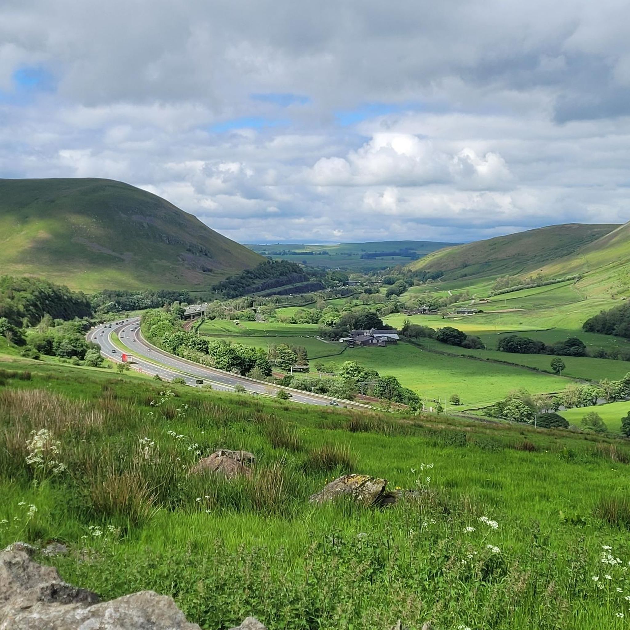
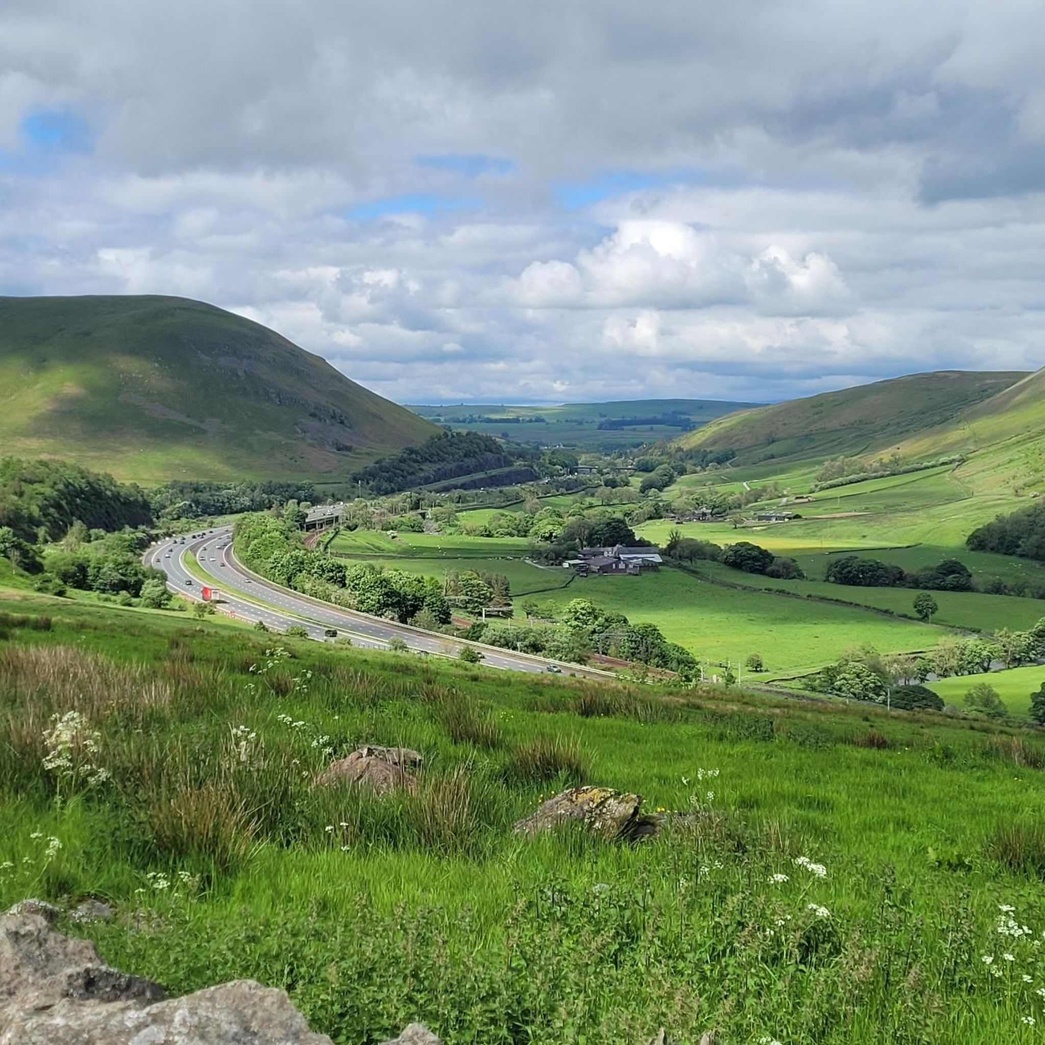
You can see Cautley Spout as soon as you start heading up the valley. Steep ascent to get above it but you can enjoy it from the bottom.
0
0

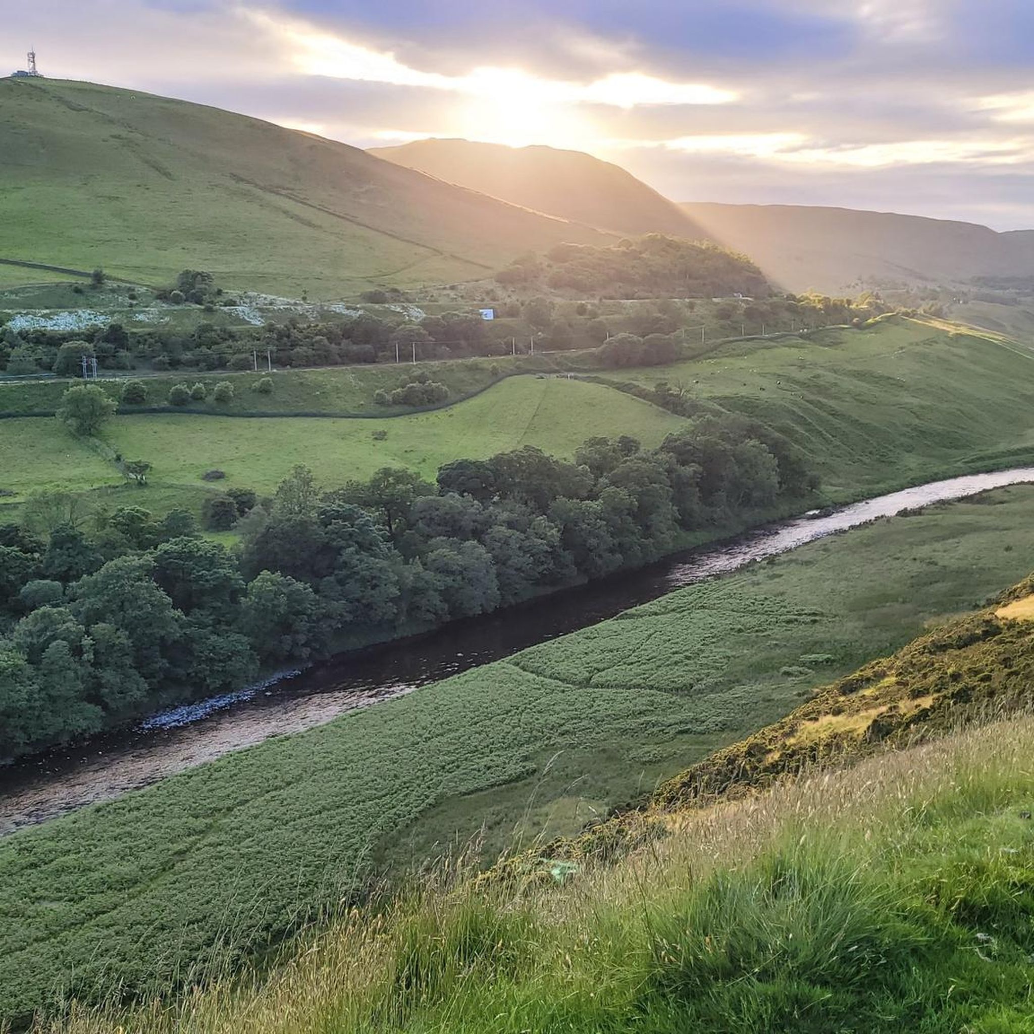
Sedbergh is a great starting point to explore the Howgills. Nice size pay and display car park with public toilets. There are also plenty of things to explore in the small town before or after you have been in the fells. Lots of great independent shops and cafes.
0
0


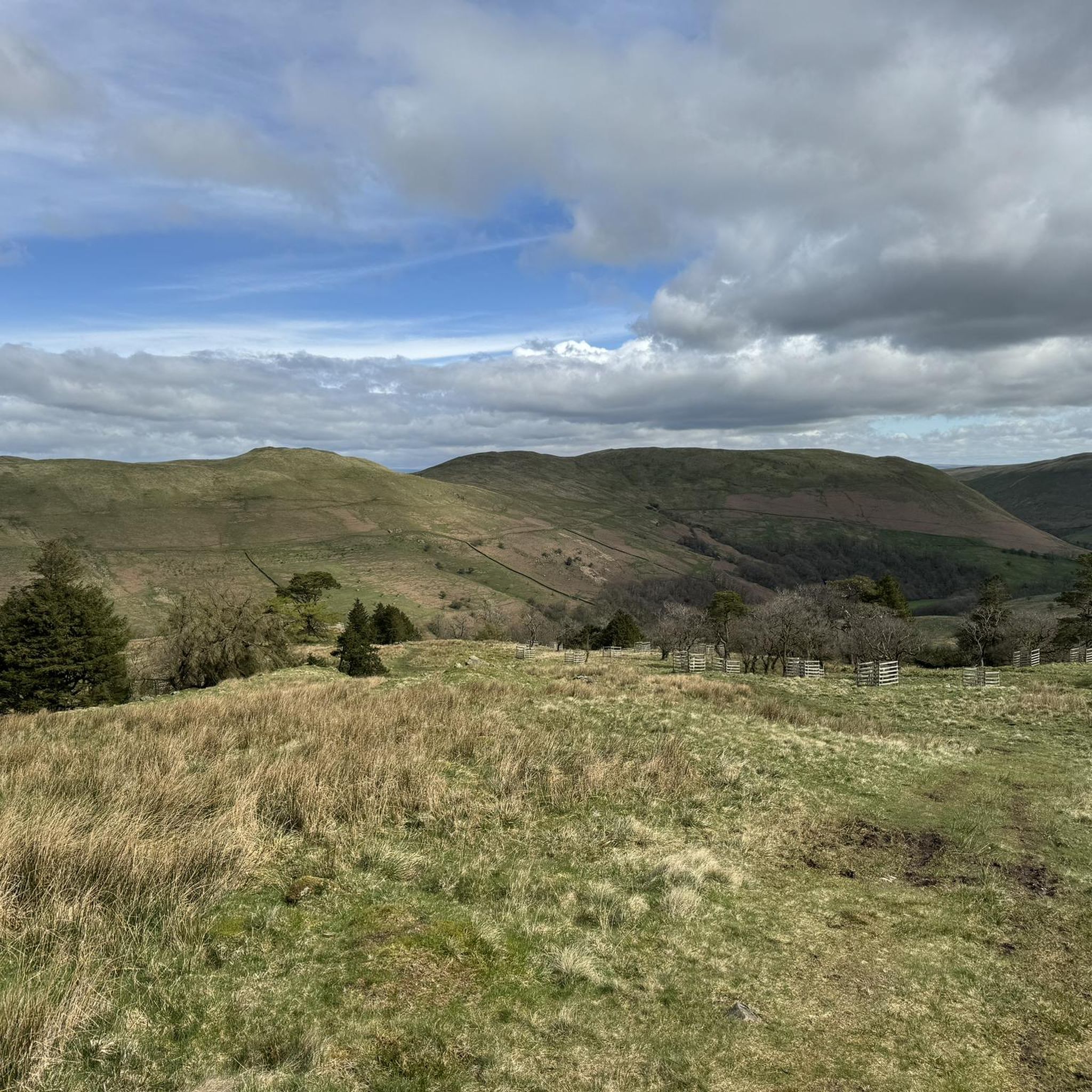
The Calf 676m P383 (2218ft) TP6361 - The Calf S5676 County of Yorkshire Definitive List Yorkshire Dales NP Definitive List County of Yorkshire Trig Pillar
0
0
Calders 675.4m P34.2 (2216ft) County of Yorkshire Definitive List Yorkshire Dales NP Definitive List
0
0

An awe-inspiring place. The walk in across the bottom of the dale is easy with constant views and the rumbling of the looming waterfall. Climbing the path alongside the cascade is recommended, although it becomes very steep on the rough stone steps. From here, you can continue to the top of The Calf, the highest point in the area.
1
1
It's the highest peak in the Howgills but the top of the Calf is pretty unexciting - its a rounded summit with motorway paths. The best feature of the hill is hidden away to east - the huge Cautley Spout waterfall. Although some maps don't show a path all the way to the summit from the east, there's a decent path on the ground, and this is by far the most interesting way to climb the hill
1
0
Frequently Asked Questions
What natural attractions can I explore around Grayrigg?
Grayrigg is surrounded by natural beauty. You can explore the prominent Grayrigg Forest, which offers impressive views into the Lune valley. A must-see is Cautley Spout Waterfall, England's highest cascade, and from there, you can continue to The Calf Summit in the Howgill Fells for panoramic vistas.
Are there good hiking trails near Grayrigg?
Yes, Grayrigg is an excellent base for hiking. You can find a variety of trails, from moderate to difficult. Popular options include the 'Fell Head, The Calf and Whin's End loop' and the 'Heart-Shaped Wood, Lune Valley – Streamside Rest Spot loop'. For more details and routes, visit the Hiking around Grayrigg guide.
What historical sites can I visit in Grayrigg and the surrounding area?
The area boasts several historical landmarks. You can visit the 12th-century St John's Church in Grayrigg, known for its stained glass. The Lancaster Canal Trail: Natland–Sedgwick Section offers a walk along a historic waterway. Nearby, Sedbergh Town Centre is England's official book town with charming cobbled lanes and historic houses.
Are there family-friendly attractions around Grayrigg?
Absolutely! Families can enjoy walking along the Lancaster Canal Trail: Natland–Sedgwick Section, which is suitable for all ages. The Mushroom on Scout Scar offers an accessible and rewarding walk with great views. Additionally, Grayrigg Hall Farm provides an opportunity to see various farm animals, and the annual Agricultural Show in August is a vibrant family event.
Where can I find panoramic views of the surrounding landscape?
For breathtaking views, head to The Calf Summit in the Howgill Fells, which offers extensive panoramas including the Yorkshire Three Peaks and the Lake District skyline. Grayrigg Forest also provides impressive views down into the Lune valley. Another excellent viewpoint is The Mushroom on Scout Scar, offering a sumptuous view of the Lakeland skyline.
What cycling opportunities are available around Grayrigg?
The Grayrigg area offers diverse cycling routes. For road cyclists, there are routes like the 'Quiet Back Lanes to Staveley' or longer loops like 'View of Sunbiggin Tarn'. Gravel biking enthusiasts can explore routes such as 'Sizergh Castle loop from Kendal'. You can find detailed routes and guides for Road Cycling and Gravel Biking around Grayrigg.
What is the best time of year to visit Grayrigg for outdoor activities?
The warmer months, from late spring to early autumn (May to September), are generally ideal for outdoor activities around Grayrigg, offering pleasant weather for hiking, cycling, and exploring. However, the landscape offers unique beauty in all seasons, with winter walks providing a different, often quieter, experience, especially in areas like Grayrigg Forest.
Are there any unique cultural experiences in Grayrigg?
Yes, Grayrigg hosts an annual Agricultural Show every August, which is a significant local event featuring livestock competitions, craft stalls, and food vendors. This offers a vibrant insight into local culture and the Cumbrian agricultural industry. Nearby, Sedbergh Town Centre is renowned as England's official book town, with numerous independent bookshops.
What do visitors enjoy most about the attractions around Grayrigg?
Visitors frequently praise the stunning natural beauty and the sense of tranquility. Many enjoy the challenging yet rewarding ascent to The Calf Summit, especially the path alongside Cautley Spout Waterfall. The charm of Sedbergh's bookshops and historic streets is also a highlight, as is the accessible beauty of The Mushroom on Scout Scar with its panoramic views.
Are there any hidden gems or lesser-known spots to discover?
Beyond the main attractions, you can explore the historic Crook of Lune Bridge, a Grade II* listed structure dating back to the 16th century. The remains of Grayrigg Hall, a former fortified manor, offer a glimpse into the area's past, with a 16th-century barn still standing. The disused railway viaduct, designed by Joseph Locke and John Errington, is another interesting historical structure.
Can I find dog-friendly walks in Grayrigg?
Many of the outdoor trails and natural areas around Grayrigg are dog-friendly, allowing you to enjoy the landscape with your canine companion. For instance, the walk to The Mushroom on Scout Scar is noted as dog-friendly. When exploring, always ensure dogs are kept under control, especially near livestock, and adhere to local signage regarding leads.
Most popular attractions around Grayrigg

Get inspired with the komoot mobile app


Explore more
Still not found the Highlight you’re looking for? See guides of the top attractions in other regions:
