The best walks and hikes around Gilcrux
4.4
(449)
3,758
hikers
157
hikes
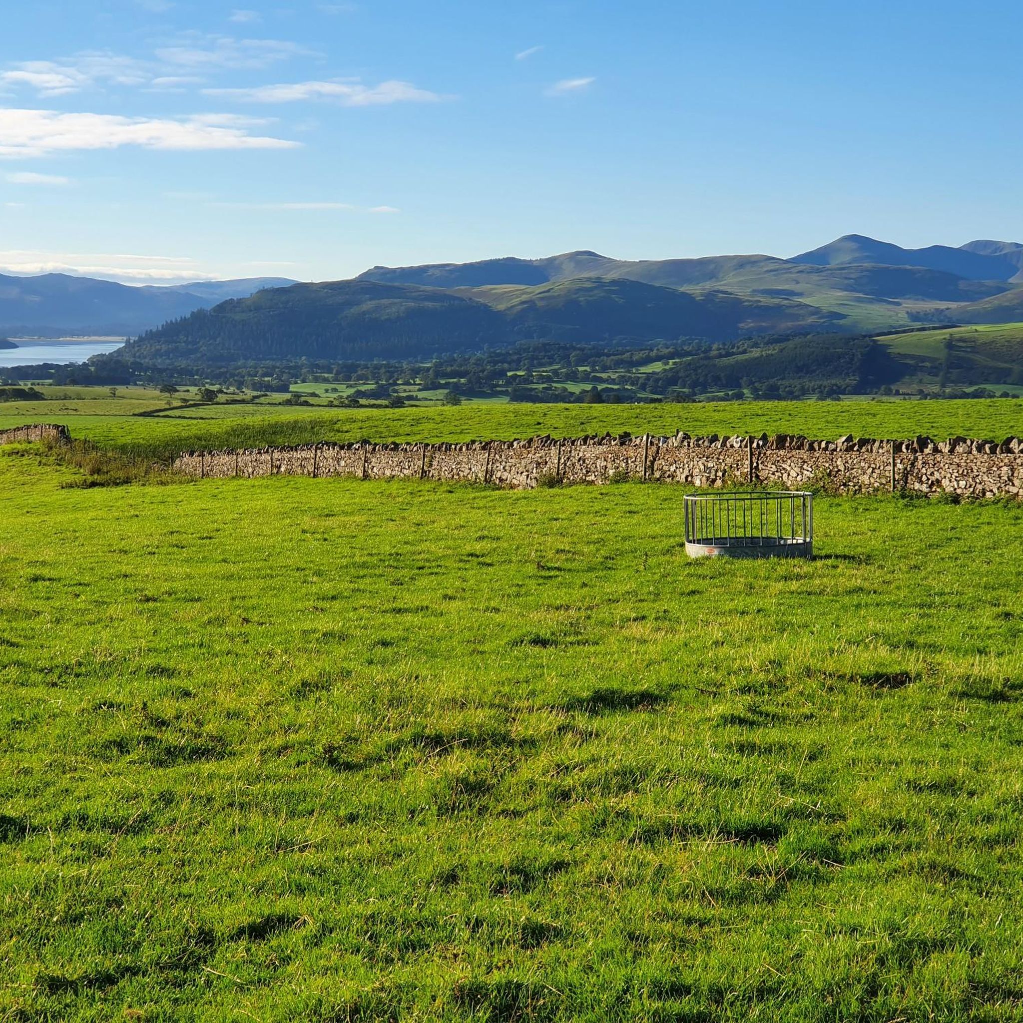
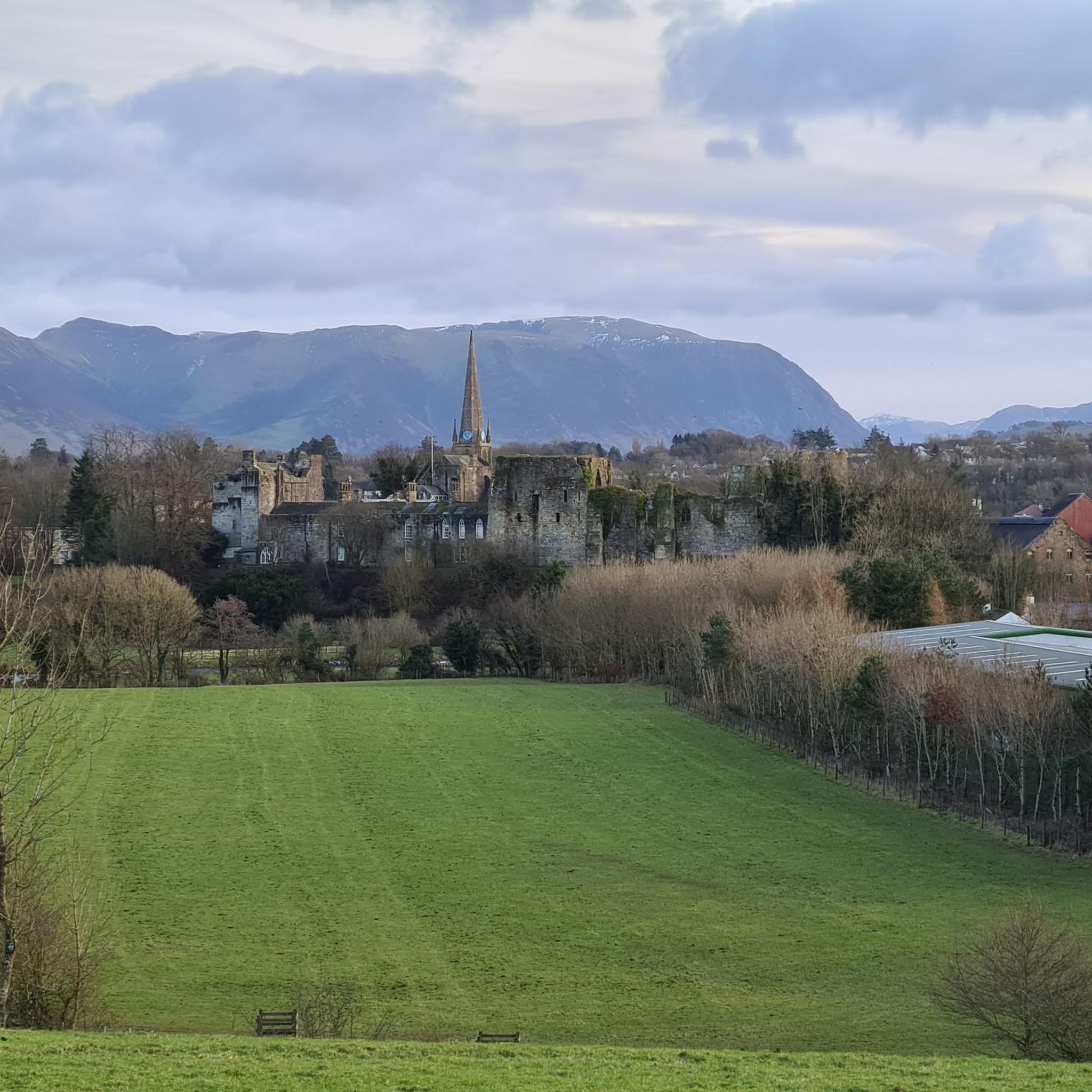
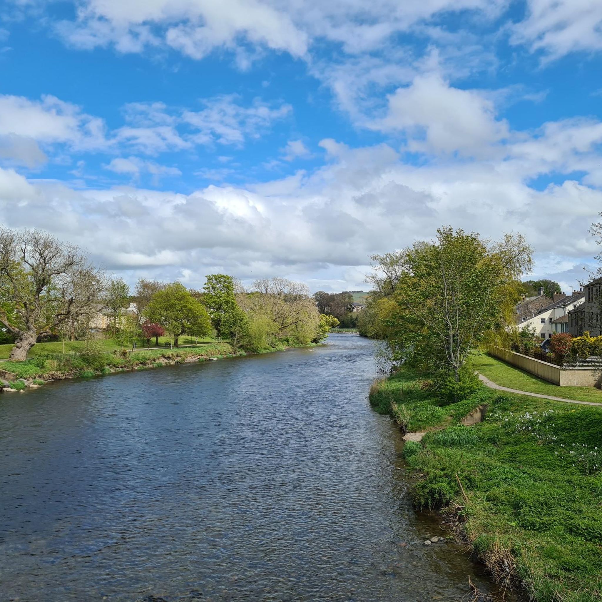
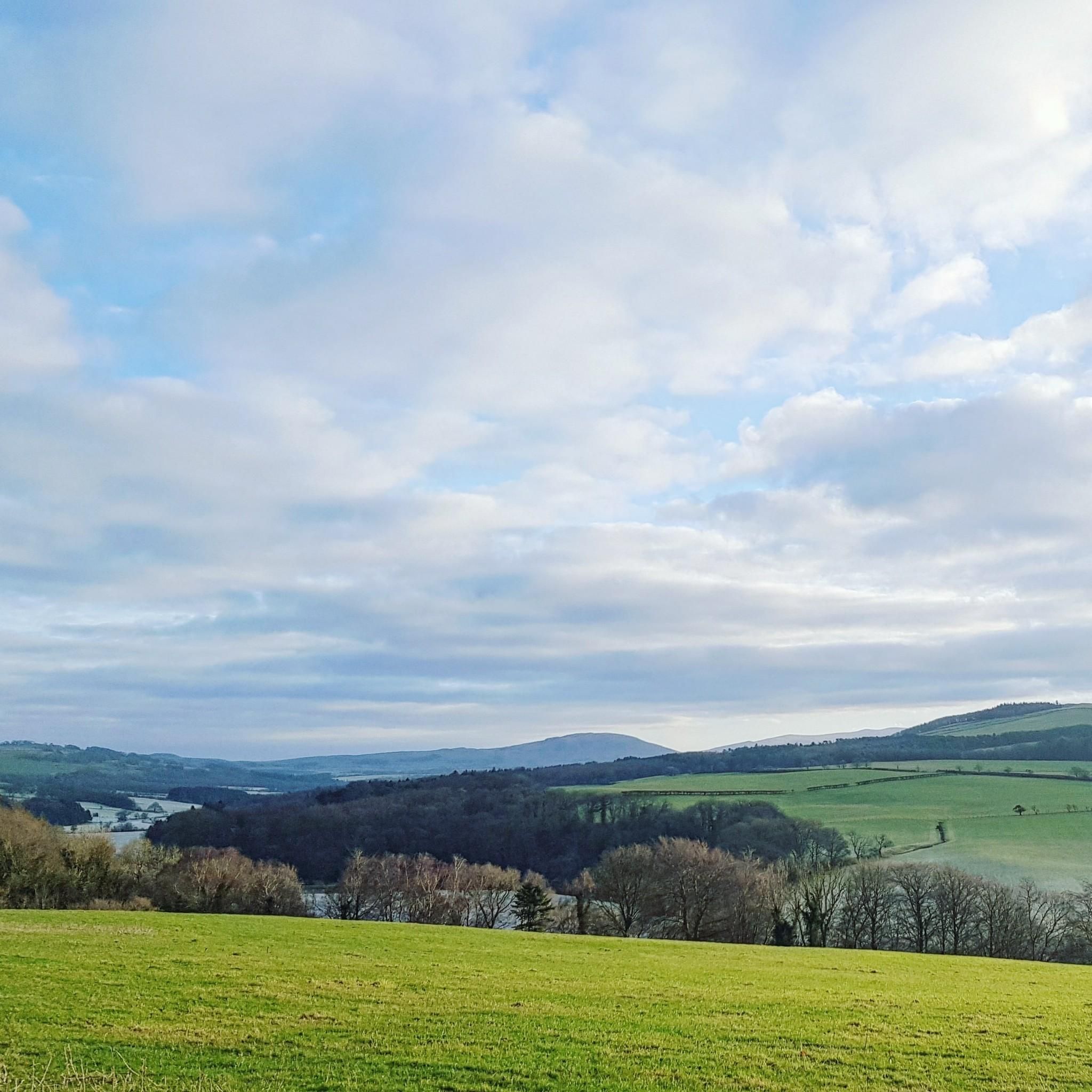
Hiking around Gilcrux offers access to diverse landscapes, situated between the Lake District fells and the Solway Coast. The region features gently undulating countryside, with options ranging from challenging fells to tranquil coastal paths and serene woodlands. The terrain includes agricultural lanes, small rivers, and areas of deep, fertile soil supporting abundant natural growth.
Best hiking trails around Gilcrux
- The most popular hiking route is Willie White's Well – Clints Crags Summit loop from Blindcrake, an easy 3.3 miles (5.4 km) trail that takes about 1 hour 30 minutes to complete, suitable for various fitness levels.
- Another top favourite among local hikers is Setmurthy Woods – Millers Bridge (Cockermouth) loop from United Kingdom, a moderate 9.9 miles (15.9 km) path winding through woodlands near Cockermouth.
- Local hikers also love the View of Solway Coast – Allonby Beach loop from Maryport, a 10.3 miles (16.6 km) trail leading along the scenic Solway Coast, often completed in about 4 hours 15 minutes.
- Hiking around Gilcrux is defined by Lake District fells, Solway Coast paths, and peaceful woodlands. The network offers options for different ability levels, from easy strolls to more strenuous climbs.
- The routes in Gilcrux are highly rated by the komoot community with an average score of 4.5 stars from over 450 reviews. More than 3,600 hikers have used komoot to explore Gilcrux's varied terrain.
Last updated: June 25, 2026
3.7
(9)
29
hikers
5.38km
01:30
100m
100m
Easy hike. Great for any fitness level. Easily-accessible paths. Suitable for all skill levels.
4.8
(5)
29
hikers
15.9km
04:26
300m
300m
Moderate hike. Good fitness required. Easily-accessible paths. Suitable for all skill levels.

Sign up for free
5.0
(1)
30
hikers
16.6km
04:15
60m
60m
Moderate hike. Good fitness required. Easily-accessible paths. Suitable for all skill levels.
5.0
(2)
49
hikers
5.55km
01:35
130m
130m
Easy hike. Great for any fitness level. Easily-accessible paths. Suitable for all skill levels.
5.0
(1)
21
hikers
7.45km
01:57
60m
60m
Easy hike. Great for any fitness level. Easily-accessible paths. Suitable for all skill levels.
Get access to more routes and recommendations from other explorers.
Sign up for free
Already have an account?
Our route recommendations are based on thousands of hikes, rides, and runs completed by other people on komoot.
Start today with a free account
Your next adventure awaits.
Login or Signup

Tips from the Community

On the banks of the River Ellen, near Maryport Harbor, stands the striking sculpture "A Fishy Tale." This creation by artist Colin Telfer depicts two fishermen, a curious boy, and a dog peering together at a basket full of fish. Made of red sandstone, epoxy resin, and hematite dust, the artwork exudes not only craftsmanship but also warmth and local pride. With expressive poses and a touch of humor, this sculpture provides a tangible reminder of Maryport's fishing past.
1
0
Millers Bridge, also known as Harris Bridge, is a steel pedestrian bridge over the River Derwent in Cockermouth, Cumbria, connecting the northern and southern parts of the city. The original structure was destroyed by severe flooding in 2009, and the bridge was rebuilt in 2010 with modified foundations to address changes in the riverbank caused by erosion. The reopening by HRH The Princess Royal underscored the importance of this connection to the local community. As a functional infrastructure, the bridge not only provides pedestrian access but also views of the surrounding landscape.
9
0
Wordsworth House rises majestically on Main Street in Cockermouth, a charming town on the edge of the Lake District. Built around 1745, the house reflects the understated grandeur of Georgian architecture: a perfectly symmetrical façade of sand-colored bricks, tall rectangular windows with classically framed woodwork, and an ornate yet understated doorway that evokes the sense of order and proportion characteristic of this period. The poet William Wordsmouth was born here in 1770.
9
0

The pre-Victorian centre of old Cockermouth, Market Place is the heart of the old town.
0
0

There is a bumpy, small rock boulder track for maybe a couple of miles at this location. The bumps make the bike vibrate and slow motion down, your arms get well exercised riding through this area
0
0
Millers Bridge, as it is known in Cockermouth (official maps refer to it as Harris Bridge), was reopened in 2010 by HRH the Princess Royal after it had suffered severe damage in the 2009 floods and a section of it collapsed into the River Derwent. Part of the steel bridge had to be rebuilt to fit the new shape of the river banks, which were heavily eroded during the floods and have now been fortified.
0
0
This is the place that gave the town its name, where the River Cocker joins the much larger River Derwent. With a small but well stocked garden in the summer and several seats, this is a contemplative spot.
0
0
Standing just above the River Cocker and below All Saints Church is Cockermouth Town Hall. Originally built in 1840 as the Wesleyan Methodist Chapel and now Grade II listed, the Georgian building was converted to be used as the Town Hall in 1934. It is now used as a Wedding Venue in the ceremony room.
0
0
Frequently Asked Questions
How many hiking trails are available around Gilcrux?
There are over 160 hiking routes available around Gilcrux, offering a wide variety of experiences. These include 99 easy trails, 64 moderate routes, and a few more challenging options for experienced hikers.
What kind of landscapes can I expect to see while hiking near Gilcrux?
Hiking around Gilcrux offers access to diverse landscapes. You can explore the gently undulating countryside, tranquil coastal paths along the Solway Coast, serene woodlands like Setmurthy Woods, and even venture into the northern fells of the Lake District for more challenging climbs. The area is characterized by quiet agricultural lanes, small rivers, and abundant natural growth.
What do other hikers say about the trails around Gilcrux?
The hiking routes in Gilcrux are highly rated by the komoot community, with an average score of 4.5 stars from over 450 reviews. More than 3,600 hikers have used komoot to explore Gilcrux's varied terrain, often praising the peaceful atmosphere and diverse scenery.
Are there hiking options for beginners or those looking for easy walks?
Yes, Gilcrux offers plenty of easy hiking options. For instance, the Willie White's Well – Clints Crags Summit loop from Blindcrake is an easy 5.4 km trail suitable for various fitness levels. The coastal path on the edge of Maryport also provides a flat, easy walk perfect for families.
Can I find walks through woodlands or forests near Gilcrux?
Absolutely. Within Gilcrux itself, 'The Ghyll' offers a peaceful wood with a stream. Nearby, Setmurthy Woods provides moderate hiking opportunities through woodlands near Cockermouth. You can also find paths through Lanthwaite wood near Loweswater.
Are there any coastal walks near Gilcrux?
Yes, the Solway Coast, a designated Area of Outstanding Natural Beauty, is just five miles away. You can enjoy flatter, scenic walking routes such as the View of Solway Coast – Allonby Beach loop from Maryport or the View of Solway Coast – Maryport Harbour loop from Allonby. These trails offer great views of the Cumbrian coast.
What natural landmarks or peaks can I explore on hikes around Gilcrux?
Gilcrux is an excellent base for exploring various natural landmarks. You can find peaks like Sale Fell, Binsey Summit, and Ling Fell Summit, which offer wonderful views of the Northern Fells. The area also features the Confluence of the Rivers Cocker and Derwent, and the scenic Solway Coast.
Are there circular hiking routes available in Gilcrux?
Many routes around Gilcrux are designed as loops. Examples include the easy Willie White's Well – Clints Crags Summit loop and the moderate Setmurthy Woods – Millers Bridge (Cockermouth) loop. Circular walks are also available around Loweswater and from Whinlatter Forest Visitor Centre.
Is Gilcrux a good base for family-friendly hikes?
Yes, Gilcrux is suitable for family-friendly hikes. The village itself has a peaceful atmosphere, and nearby options like the coastal path on the edge of Maryport are perfect for families with young children. Many of the easy trails are also well-suited for family outings.
Are the hiking trails around Gilcrux dog-friendly?
Many trails in the Gilcrux area are dog-friendly, especially those through woodlands and along the coast. However, always ensure your dog is under control, particularly near livestock, and check for any specific restrictions in nature reserves or on private land. It's advisable to keep dogs on a lead in agricultural areas.
What are the parking options for hikers in Gilcrux?
While specific parking details for every trailhead are not available here, Gilcrux is a village with local amenities. Parking is generally available within the village or at designated car parks for popular trailheads, especially those leading into the Lake District or along the Solway Coast. Always check local signage for restrictions.
How accessible is Gilcrux by public transport for hikers?
Gilcrux is a rural village, and public transport options may be limited. While there might be local bus services connecting to larger towns like Cockermouth or Maryport, direct access to all trailheads by public transport can be challenging. Planning your route in advance and checking local bus schedules is recommended. For more information on local transport, you might find resources on Visit Cumbria helpful.
When is the best time of year to go hiking around Gilcrux?
The best time to hike around Gilcrux is generally from spring through autumn (April to October). During these months, the weather is milder, and the days are longer, making for more pleasant hiking conditions. Spring brings blooming wildflowers, while autumn offers beautiful foliage. Winter hiking is possible but requires appropriate gear and caution due to potentially challenging conditions on higher fells.
Most popular attractions around Gilcrux

Get inspired with the komoot mobile app


Explore more
Browse the best Hikes in other regions.
