The best mountain hikes around Cockermouth
5.0
(3)
20
hikers
2
hikes
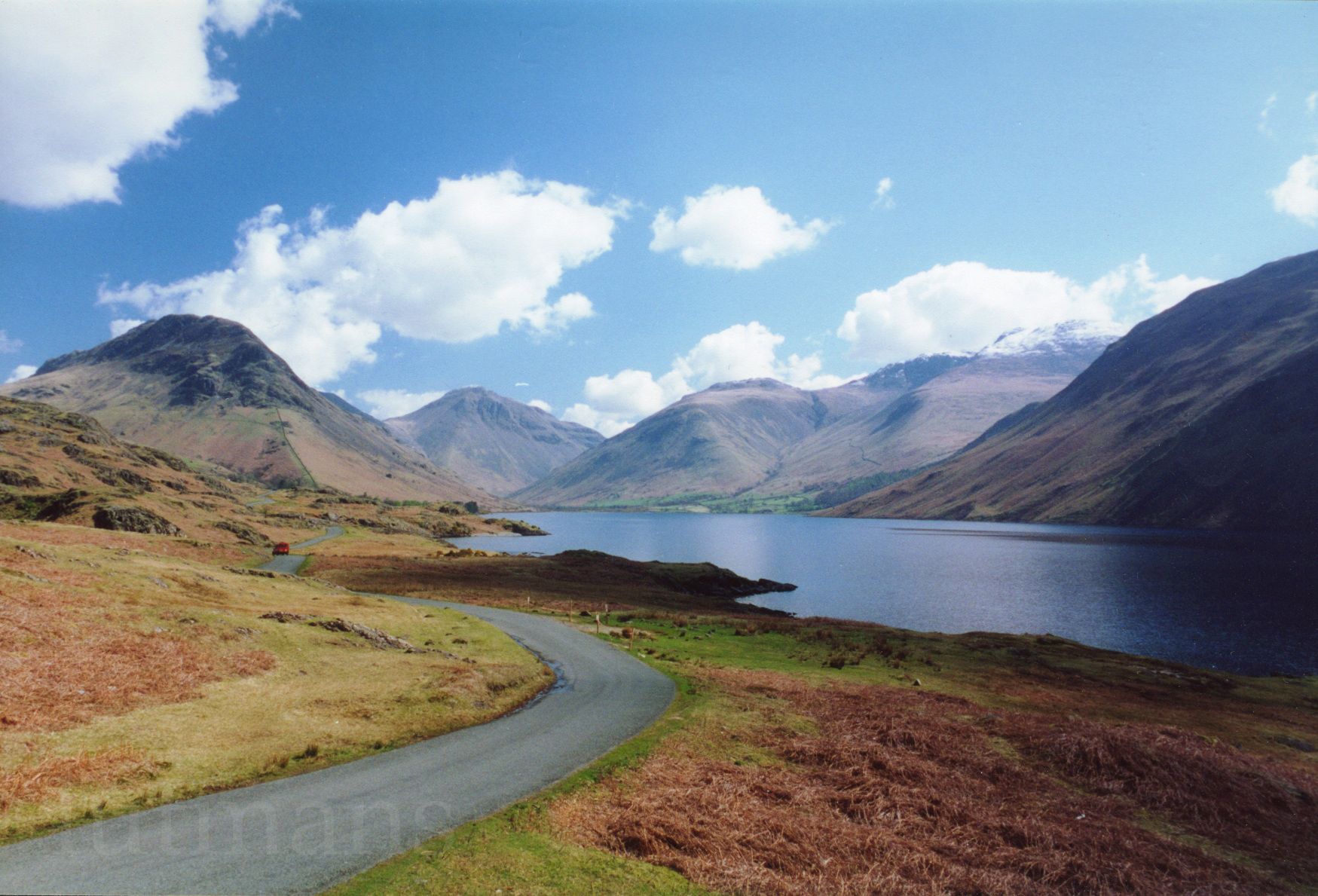
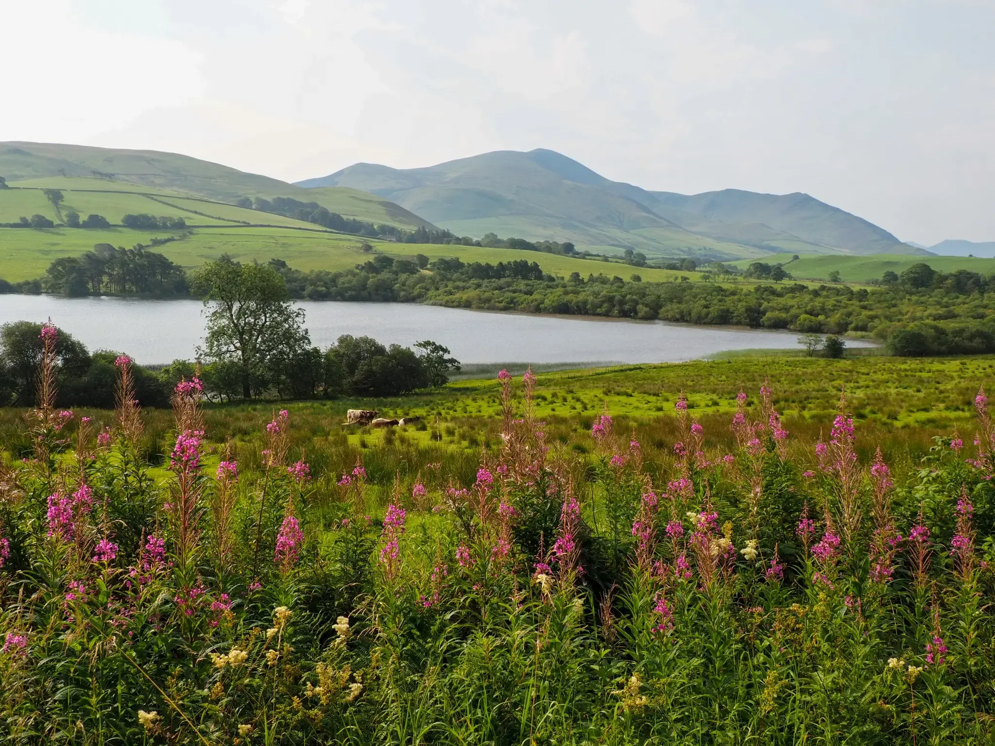
Mountaineering routes around Cockermouth are situated within the Lake District National Park, characterized by its fells, valleys, and expansive views. The terrain includes varied ascents and descents, often leading to elevated viewpoints over the surrounding landscape. This region offers a mix of open fellside and paths through more sheltered areas. The area is known for its distinct geological features, providing diverse conditions for mountaineering.
Best mountaineering routes around Cockermouth
- The most popular mountaineering route is Carl Side loop from Bassenthwaite…
Last updated: September 2, 2026
5
hikers
16.6km
06:47
970m
980m
Hard mountaineering route. Very good fitness required. Sure-footedness, sturdy shoes and alpine experience required.
5.0
(1)
2
hikers
9.05km
03:33
640m
640m
Moderate mountaineering route. Good fitness required. Easily-accessible paths. Suitable for all skill levels.

Sign up for free
6
hikers
8.92km
03:04
480m
480m
Moderate mountaineering route. Good fitness required. Easily-accessible paths. Suitable for all skill levels.
5.0
(1)
4
hikers
14.2km
05:17
830m
830m
Hard mountaineering route. Very good fitness required. Mostly accessible paths. Sure-footedness required.
2
hikers
10.5km
03:03
280m
280m
Moderate mountaineering route. Good fitness required. Easily-accessible paths. Suitable for all skill levels.
Our route recommendations are based on thousands of hikes, rides, and runs completed by other people on komoot.
Start today with a free account
Your next adventure awaits.
Login or Signup
Popular around Cockermouth



Tips from the Community

Definitely worth a visit. It's a lovely cafe, where you can expect delicious home made cakes, scones, soupes etc.
0
0


It looks quite bad as you approach from a distance, but it's not so bad when you go up slowly and steadily. It won't take long.
0
0
It was a great hike, although it was steep for most of the ascent. Just before reaching the summit, there was some scree.
0
0

My favourite beer garden in the lakes, the view is so dramatic!
0
0


A great ridge to climb from Lanthwaite. Rising to Whiteside and then Hopegill Head. A return journey can be made via any of the North western routes to return into the Buttermere/Crummock valley
0
0
Frequently Asked Questions
What kind of terrain can I expect on mountaineering routes around Cockermouth?
The mountaineering routes around Cockermouth are situated within the Lake District National Park, offering varied terrain. You'll encounter fells, valleys, and expansive views, with a mix of open fellside and paths through more sheltered areas. Expect diverse conditions due to the region's distinct geological features.
Are there any challenging mountaineering routes near Cockermouth?
Yes, for those seeking a more challenging experience, consider the Stone Sculpture on Skiddaw loop from Bassenthwaite. This route is 14.2 km long with over 830 meters of elevation gain, leading through open fellside and towards higher elevations.
Are there any circular mountaineering walks available?
Many of the mountaineering routes around Cockermouth are circular. For example, the popular Carl Side loop from Bassenthwaite is a 9 km circular trail offering significant elevation gain and panoramic views. Another option is the Long Side Edge Walk – Skill Beck loop from Bassenthwaite, which is 8.9 km.
What are some good moderate mountaineering routes in the area?
Cockermouth offers several rewarding moderate mountaineering routes. The Carl Side loop from Bassenthwaite is a great choice, as is the Long Side Edge Walk – Skill Beck loop from Bassenthwaite. For a route with slightly less ascent but still a good distance, try the Kirkstile Inn – No Road to the Lake Signpost loop from Loweswater.
What can I see along the mountaineering routes around Cockermouth?
The routes often provide stunning views of the surrounding landscape and access to beautiful natural features. You can expect to see several lakes, such as Crummock Water and Loweswater. Many routes also pass by significant natural monuments and viewpoints like Hopegill Head and Blake Fell Summit.
Are there any routes that offer views of Bassenthwaite Lake?
Yes, several routes in the area provide excellent views of Bassenthwaite Lake. The Carl Side loop from Bassenthwaite and the Stone Sculpture on Skiddaw loop from Bassenthwaite both offer perspectives of the lake. You can also find specific viewpoints like the View of Bassenthwaite Lake and Skiddaw from Sale Fell.
What do other mountaineers say about the routes in Cockermouth?
The mountaineering routes around Cockermouth are highly regarded by the komoot community, holding an average score of 5.0 stars from more than 4 reviews. Many users praise the varied terrain, rewarding views, and the overall experience of exploring the fells and valleys of the Lake District.
Are there any routes that pass by traditional Lakeland pubs for a lunch stop?
While specific pub stops are not detailed for every route, the Kirkstile Inn – No Road to the Lake Signpost loop from Loweswater starts near the well-known Kirkstile Inn, making it a convenient option for a pre- or post-hike meal in a traditional setting.
What is the best time of year for mountaineering in Cockermouth?
The Lake District, including the Cockermouth area, is beautiful year-round. However, for mountaineering, late spring to early autumn (May to October) generally offers the most favorable weather conditions, with longer daylight hours and more stable ground underfoot. Always check local weather forecasts before heading out, as conditions can change rapidly in the fells.
Are there any routes that explore the Mellbreak area?
Yes, the Mellbreak North Top – Mellbreak loop from Brackenthwaite is an excellent moderate route that takes you up to Mellbreak North Top, offering fantastic views over Crummock Water and Loweswater. It's a 11.5 km loop with nearly 475 meters of ascent.
What should I wear for mountaineering in Cockermouth?
Given the varied terrain and changeable weather in the Lake District, it's essential to wear appropriate gear. This includes sturdy hiking boots with good ankle support, layered clothing (including waterproof and windproof outer layers), and a hat and gloves even in milder weather. Always carry extra layers, sufficient water, and navigation tools.
Most popular routes around Cockermouth
Most popular attractions around Cockermouth

Get inspired with the komoot mobile app


Explore more
Browse the best Mountain Hikes & Routes in other regions.
