The best running trails around Ince Blundell
4.7
(38)
5,642
runners
365
runs
Jogging routes Ince Blundell traverse a rural parish, characterized by its Green Belt status and predominantly agricultural land. The terrain is generally level to gently rolling, offering open views and fresh air. The area is situated near the River Alt floodplain, with woodlands and ponds within the Ince Blundell Hall estate contributing to the natural landscape. Joggers can explore paths that navigate through mature trees and historical features.
Best jogging routes around Ince Blundell
- The most popular jogging route is…
Last updated: June 28, 2026
28
runners
19.6km
02:02
40m
40m
Hard run. Very good fitness required. Mostly paved surfaces. Suitable for all skill levels.
25
runners
6.60km
00:41
10m
10m
Moderate run. Good fitness required. Mostly paved surfaces. Suitable for all skill levels.

Sign up for free
19
runners
32.1km
03:19
50m
50m
Hard run. Very good fitness required. Mostly paved surfaces. Suitable for all skill levels.
11
runners
6.17km
00:38
10m
10m
Moderate run. Good fitness required. Mostly paved surfaces. Suitable for all skill levels.
10
runners
4.99km
00:31
10m
10m
Easy run. Great for any fitness level. Mostly paved surfaces. Suitable for all skill levels.
Get access to more routes and recommendations from other explorers.
Sign up for free
Already have an account?
Our route recommendations are based on thousands of hikes, rides, and runs completed by other people on komoot.
Start today with a free account
Your next adventure awaits.
Login or Signup
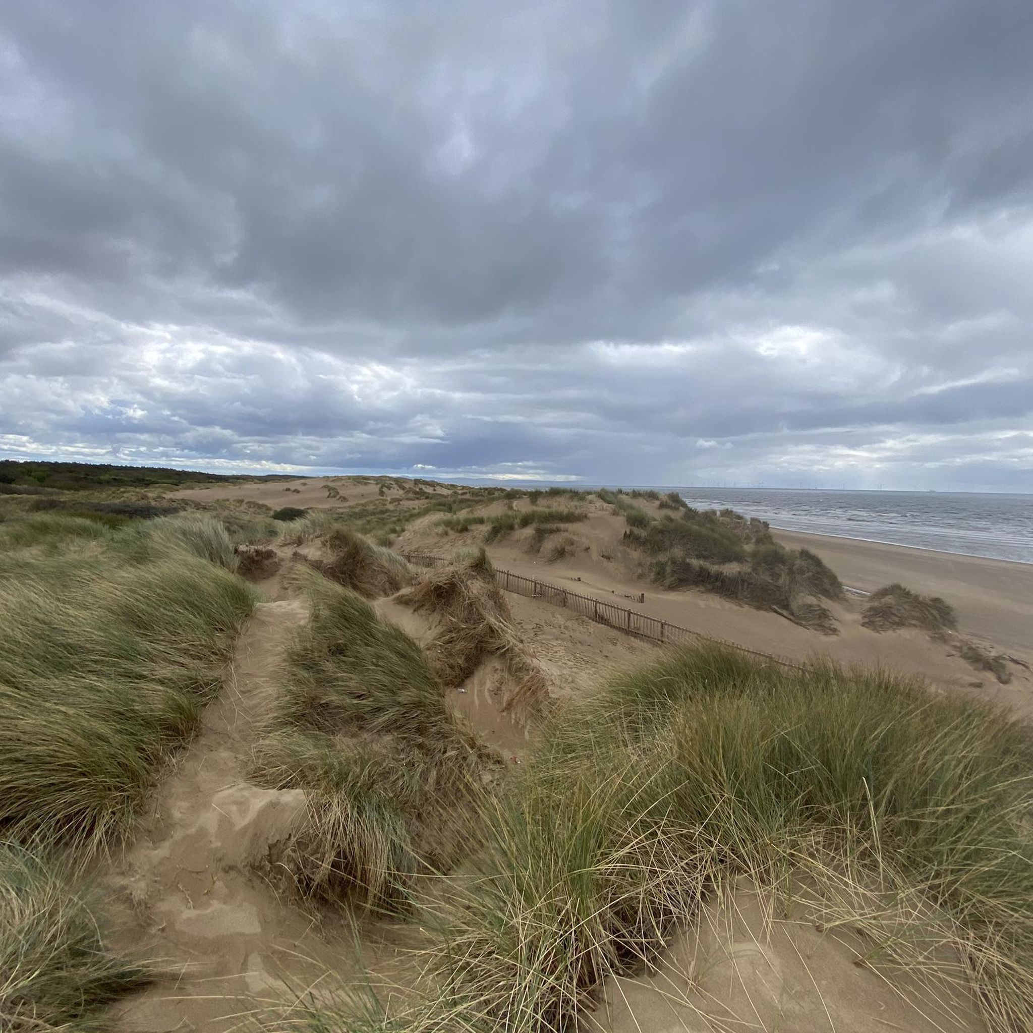
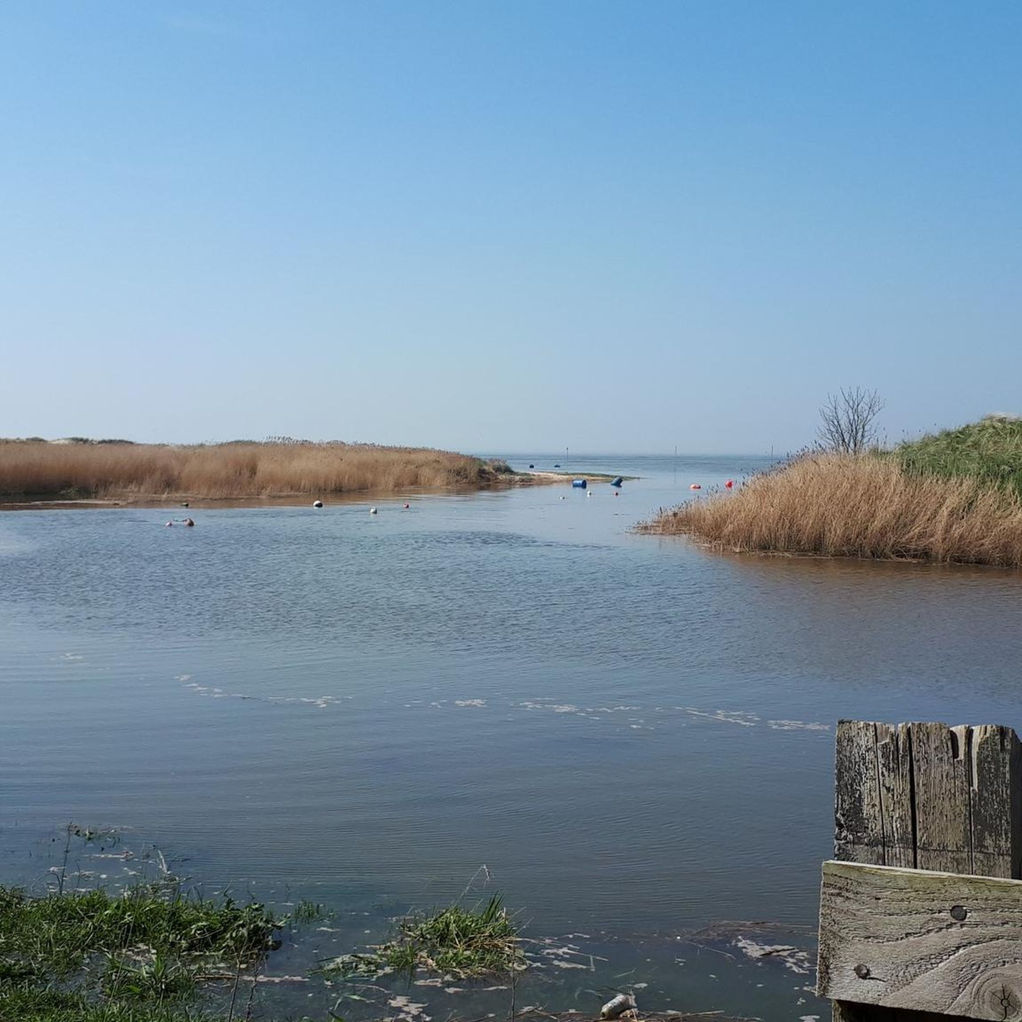
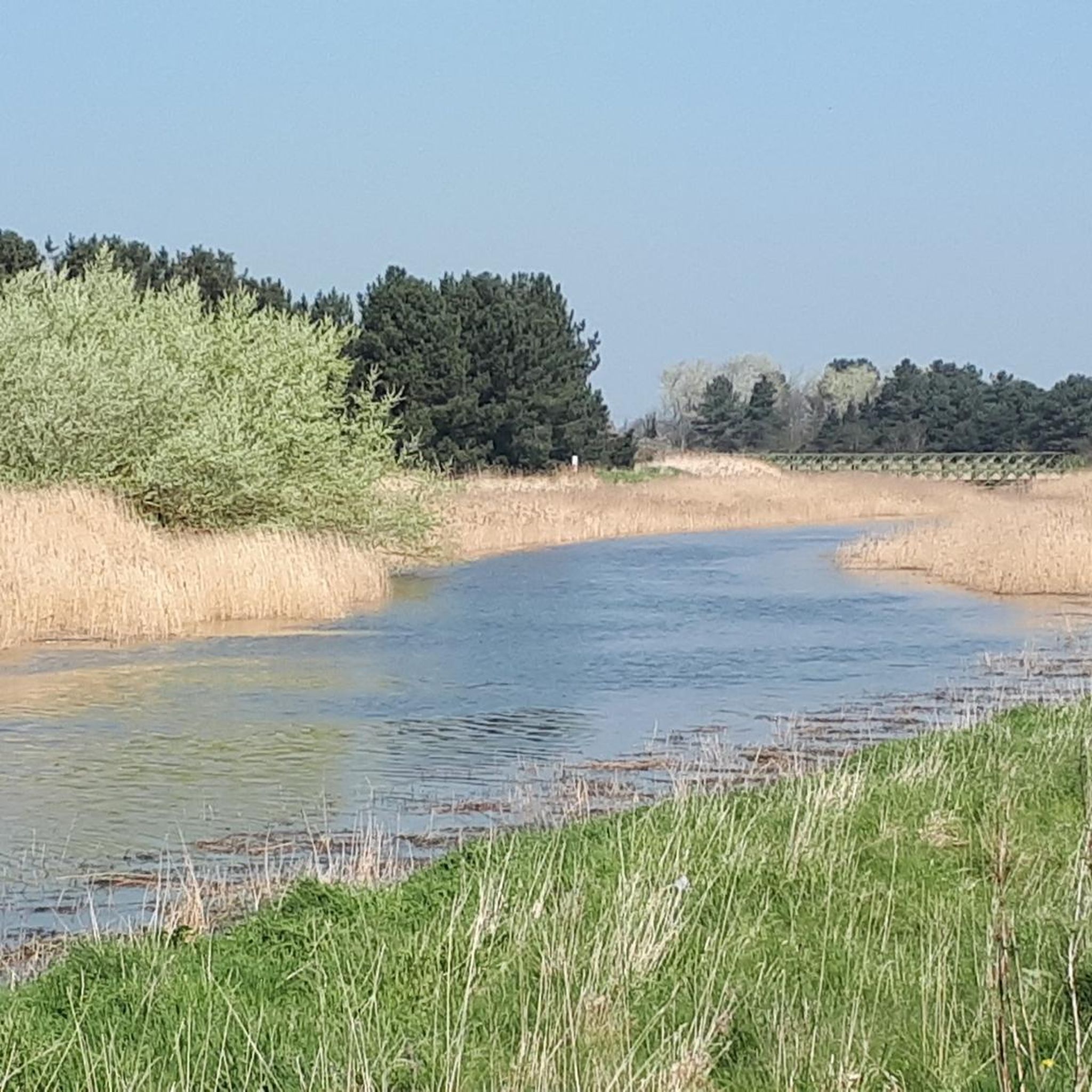
Tips from the Community

The statues are scattered up a long stretch of beach
0
0
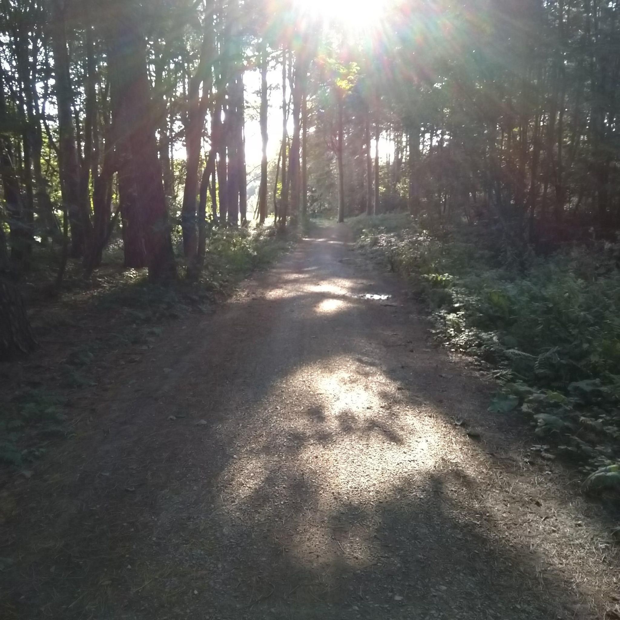
There's two routes through, the short way -narrow path or a longer route of a wider surfaced path
0
0

AI Summary Rubble on Crosby Beach (often called "Blitz Beach") includes both 1941 WWII bomb damage and debris from 1960s/70s redevelopment. While primarily known as a dumping ground for Liverpool/Bootle Blitz debris, materials from later, post-war, and slum clearance projects were also used to reinforce the coastline against erosion. 1940s Material: Initial rubble deposited shortly after the 1941 blitz includes bricks, Victorian tiling, stone carvings, and architectural remnants from destroyed homes and landmarks. 1960s & Later Material: Subsequent landfill from later, post-war demolition projects was layered on top of the original wartime debris. Nature of the Site: This material was primarily intended as a cost-effective way to manage industrial waste and protect the coastline, rather than for structural engineering.
1
0

There are many historic gravestones in the churchyard. The oldest dates back to 1666.
1
0

This area is now becoming INCORRECTLY named the Blitz beach. It was actually formed with demolition material from 1960's redevelopment in Liverpool and has nothing to do with the 1940/41 Blitz. It also contains material from the demolition of Fort Crosby in 1967. It's an indication of the power of Social Media that such a misunderstanding is taking a hold. Please stop using the term Blitz Beach because it isn't.
2
0

Paid for toilets - 40p - it’s a little hit and miss (no pun intended) on whether they’ll accept your coins. They don’t give change either but when you have to go, you have to go.
2
0
The 'Crosby Blitz Beach' is so named because it is where the rubble from buildings that were destroyed in Liverpool and surrrounding areas during the blitz in WW2 was deposited. You can read more about it here; https://www.atlasobscura.com/places/crosby-beach-blitz-rubble
1
1
Frequently Asked Questions
How many running routes are available in Ince Blundell?
Ince Blundell offers a wide selection of running routes, with over 370 trails available for you to explore. These routes cater to various fitness levels, including easy, moderate, and difficult options.
What kind of terrain can I expect on jogging routes around Ince Blundell?
The jogging routes in Ince Blundell are characterized by a rural setting within the Green Belt, featuring predominantly agricultural land. The terrain is generally level to gently rolling, offering open views and fresh air. You'll also find paths near the River Alt floodplain, through woodlands, and past mature trees within the Ince Blundell Hall estate.
Are there any easy running routes for beginners in Ince Blundell?
Yes, Ince Blundell has several easy running routes suitable for beginners. For example, the Freshfield Pub – Formby Chippy loop from Formby is an easy 4.9 km (3.1 miles) route that takes about 30 minutes to complete, offering a gentle introduction to the area's trails.
What natural features or landmarks can I see while jogging in Ince Blundell?
While jogging in Ince Blundell, you can encounter a blend of natural beauty and historical landmarks. The area is close to the River Alt floodplain and features woodlands and ponds within the Ince Blundell Hall estate. Nearby, you can also explore the iconic Another Place Sculptures at Crosby Beach, the expansive Formby Beach with its sand dunes, and the Woodland Path at Ainsdale National Nature Reserve.
Are there any circular running routes in Ince Blundell?
Yes, Ince Blundell offers several circular running routes. A notable option is the 4-mile (6.4 km) circular walk around the rural parish, which allows joggers to pass numerous historic features. For a specific route, consider the Bridge Over the River loop from Hightown, a moderate 6.6 km (4.1 miles) circular trail.
What do other runners say about the trails in Ince Blundell?
The running routes in Ince Blundell are highly regarded by the komoot community, boasting an average rating of 4.6 stars from over 30 reviews. Runners often praise the tranquil, rural setting, the fresh air, and the variety of paths that combine natural beauty with historical interest.
Can I bring my dog on the jogging routes in Ince Blundell?
Many of the rural paths and trails in Ince Blundell are suitable for jogging with dogs, especially those away from busy roads. However, as much of the area is agricultural land and within the Green Belt, it's always best to keep dogs under control, especially near livestock, and to check local signage for any specific restrictions.
Where can I find parking near the running trails in Ince Blundell?
While specific parking areas for individual trails are not always designated, Ince Blundell is a rural parish. Parking is often available in village areas or at the start points of popular routes like Lady Green Lane, which is a common starting point for the circular walk around the parish. Always ensure you park responsibly and legally.
How can I reach the running routes in Ince Blundell using public transport?
Ince Blundell is a rural village, so public transport options might be limited compared to urban areas. However, local bus services may connect the village to nearby towns like Formby or Hightown, which have train stations. It's advisable to check local bus schedules and routes from your starting location to plan your journey to the trailheads.
Are there any places to eat or drink near the jogging routes?
While Ince Blundell itself is a small rural parish, its proximity to larger towns means there are options for refreshments. You might find local pubs or cafes in nearby villages or towns like Formby, which is a common starting point for some of the longer routes. For example, the Freshfield Pub – Formby Chippy loop from Formby suggests nearby amenities.
What are the best running routes for a longer, more challenging run?
For a longer and more challenging run, you can explore routes that extend towards the coast. The Bridge Over the River – Crosby Beach Parkrun Start loop from Formby is a difficult 48.2 km (29.9 miles) trail that leads through the River Alt area and towards Crosby Beach, often taking over 5 hours to complete. Another difficult option is the Pinfold Path Picnic Area – Crosby Beach loop from Formby, which is 32.1 km (19.9 miles) long.
Are the running trails in Ince Blundell suitable for families?
Yes, many of the running trails in Ince Blundell, particularly the easier and shorter circular routes, are suitable for families. The generally level terrain and scenic, rural environment make for pleasant outings. It's recommended to choose routes with appropriate distances and surfaces for younger family members.
Are there any historical sites to explore while running in Ince Blundell?
Absolutely. Ince Blundell is rich in history. Joggers can encounter medieval wayside crosses on the boundary wall of Ince Blundell Hall, which historically served as resting points. The Old Hall and stable blocks are also present within the estate, and the entire area is steeped in the history of the Blundell family. The 80-hectare park of Ince Blundell Hall itself, with its impressive brick wall and ornate gateways, offers a historical backdrop to your run.
Most popular routes around Ince Blundell
Most popular attractions around Ince Blundell

Get inspired with the komoot mobile app


Explore more
Browse the best Running Trails & Routes in other regions.
