The best cycling routes around Walkerburn And District
4.5
(131)
3,062
riders
10
rides
Touring cycling routes around Walkerburn And District feature a diverse landscape within the Scottish Borders, characterized by the scenic River Tweed and its surrounding Tweed Valley. The area provides a mix of tarmac roads, forest roads, and non-technical trails, catering to various fitness levels. Cyclists can expect varied terrain, from gentle riverside paths to routes with significant elevation gain across the region's hills.
Best touring cycling routes around Walkerburn And District
- The most popular touring cycling route is Innerleithen XC…
Last updated: May 12, 2026
3.0
(1)
69
riders
39.8km
03:03
560m
560m
Hard bike ride. Very good fitness required. Mostly paved surfaces. Suitable for all skill levels.
5.0
(7)
36
riders
19.3km
01:06
60m
60m
Easy bike ride. Great for any fitness level. Mostly paved surfaces. Suitable for all skill levels.

Sign up for free
20
riders
9.11km
00:32
60m
60m
Easy bike ride. Great for any fitness level. Mostly paved surfaces. Suitable for all skill levels.
18
riders
20.2km
01:16
230m
230m
Moderate bike ride. Good fitness required. Mostly paved surfaces. Suitable for all skill levels.
15
riders
28.7km
01:54
310m
310m
Moderate bike ride. Good fitness required. Mostly paved surfaces. Suitable for all skill levels.
Get access to more routes and recommendations from other explorers.
Sign up for free
Already have an account?
Our route recommendations are based on thousands of hikes, rides, and runs completed by other people on komoot.
Start today with a free account
Your next adventure awaits.
Login or Signup
Tips from the Community

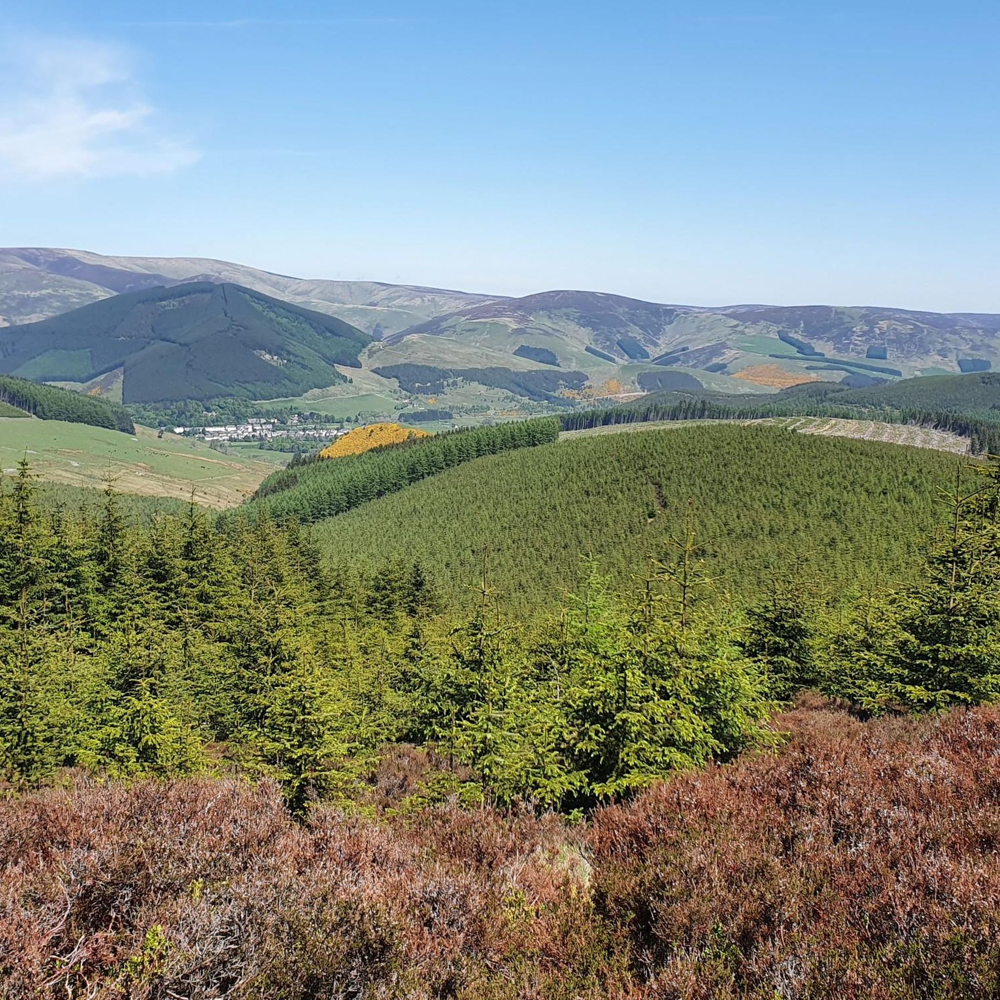
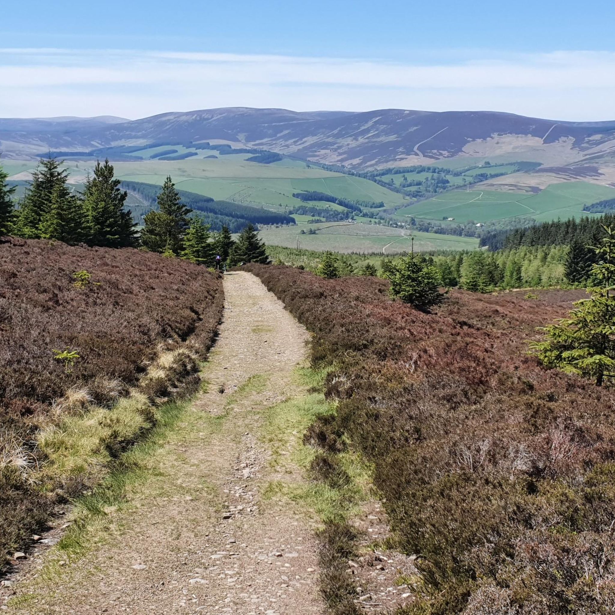
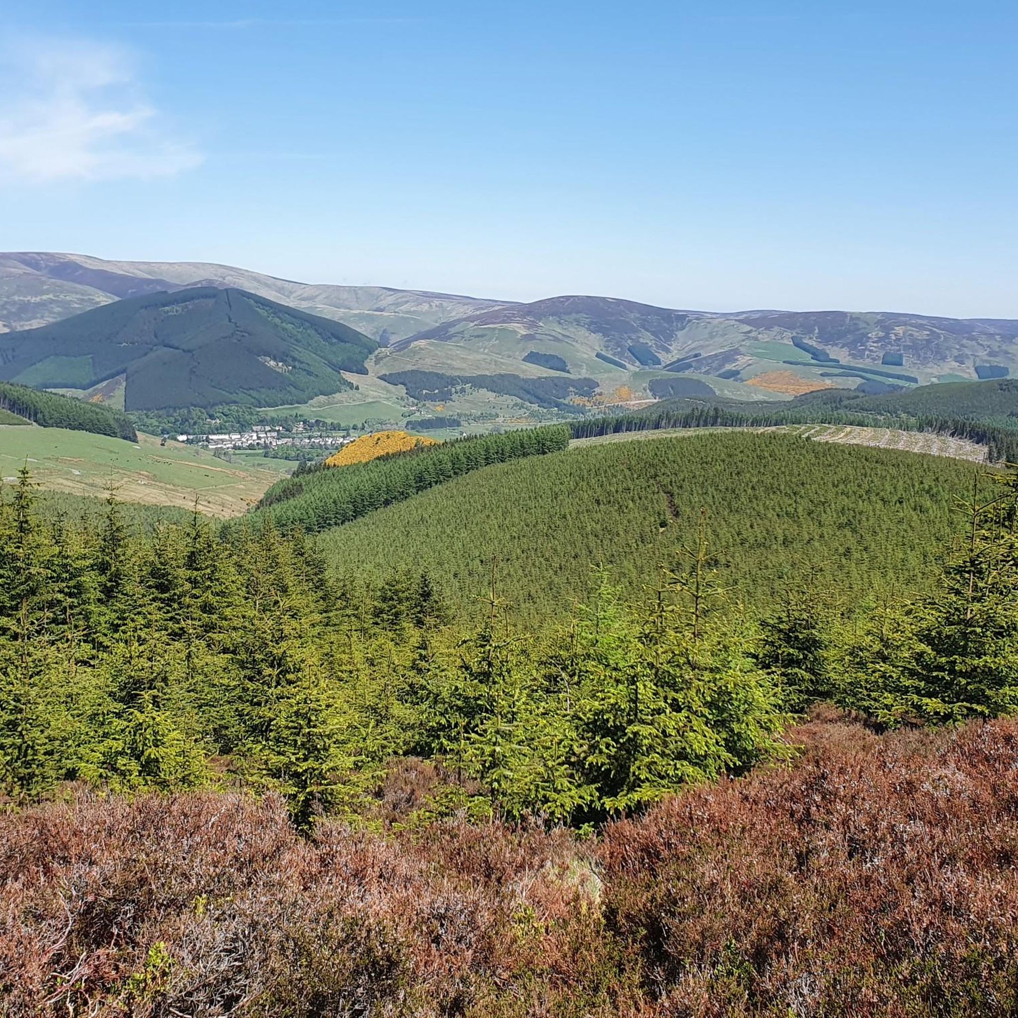
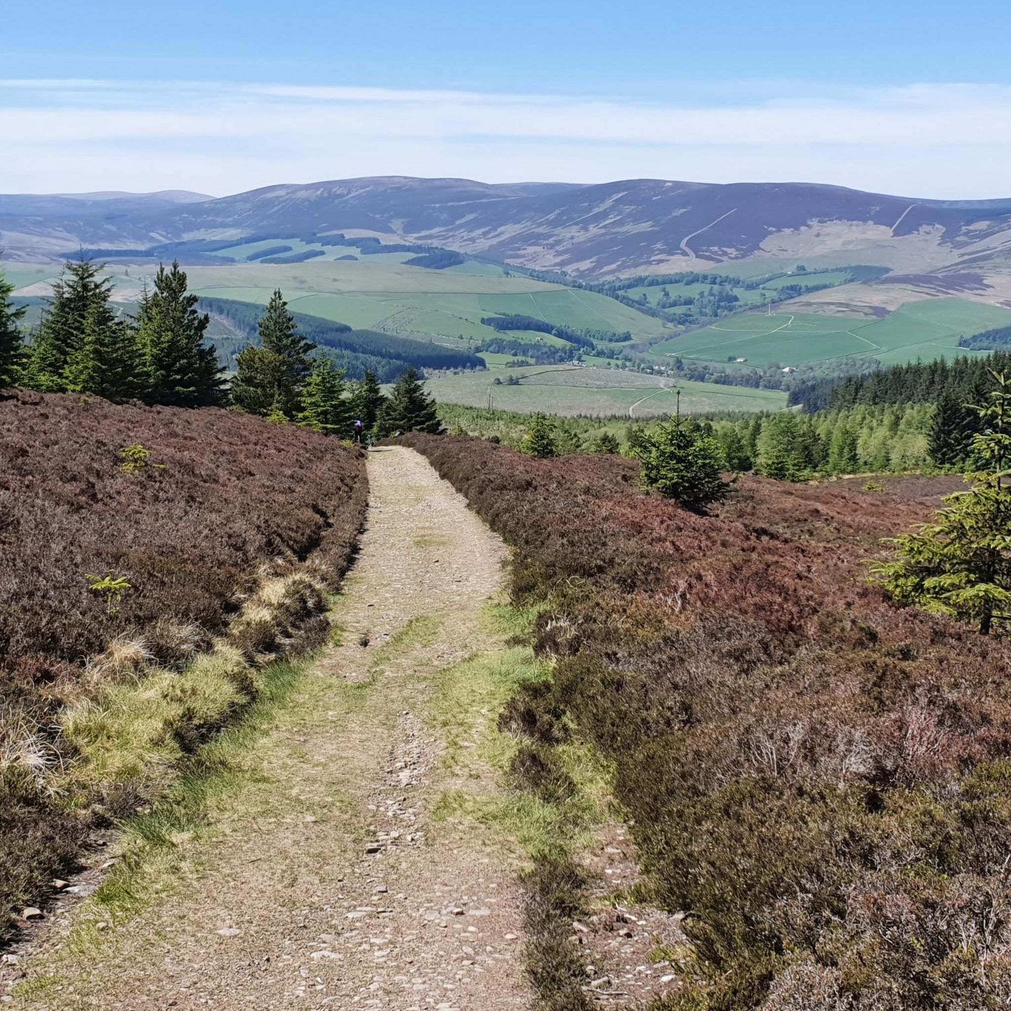
The tarmac cycle path following the river Tweed from Glentress makes Innerleithen super accessible which in turn provides you with free range to pedal the ‘old’ XC & DH trails, it also provides easy access to the current ‘trendy’ gravity orientated hot spot of Golfie, named so, as it’s situated above the golf course. First off the Old XC, (starts from the carpark over the bridge by the river) it was very sad to see the current trashed & sorry state of what appears to be the forgotten XC Trail, after having ridden it many times since the early eighties! The long climb at the start is currently cut short & diverted with no access up to the top from what I could see? The remainder of the trails are just trashed with the mighty Caddon Bank DH a shadow of its former self. Golfie is an easy pedal across the village with some great coffee stop opportunities enroute. One in particular Findra on the high st deserves a Big shout out, it’s stylish, MTB rider (muddy bum) friendly, sells fantastic coffee & food has uber cool curated music. Oh it also sells very cool artisan made clothing. There are others in the village which all look fab but Findra was the one we stopped at. The Findra staff ride mountain bikes, are super friendly & great for local riding knowledge 😉👍 Golfie is a short pedal through the village towards the Golf club & then a longish pedal up a Forest road with ‘natural’ trails spilling off the side of the hill in varying degrees of difficulty. Be prepared for full on gnar, chunder, roots, very steep drop offs & lots n lots of muddy gloop if the weather has not been kind. No manicured trails here! If you keep pedalling you’ll eventually reach the old reservoir where the views are magnificent & several trail go off in several directions. My advice, if it’s your first time riding Golfie try & take someone who’s ridden it before as some of the trails start off very benign but then transform like Dr Jekyll & Mr Hyde! Wear body armour that allows you to pedal, but all the same wear body armour😜👍
1
0

Connecting the 7 staines. You can bike from Walkerburn, Innerleithen and Glentress on this path.
0
0


The River Tweed, or Tweed Water (Scottish), is a river 97 miles (156 km) long that flows east across the Scottish Borders and into northern England. Tweed is an Old Celtic name meaning "border" and tweed cloth derives its name from its association with the river, on account of the hundreds of mills powered by the river at one time. The Tweed is one of the great Salmon rivers of Europe and generates a large income for the local Borders region, attracting anglers from all around the world. It is one of the best Salmon rivers in Scotland.
0
0
Elibank was formerly known as Eliburn and overlooks the River Tweed from a commanding position high on its steep right bank. The late 16th century fortress is rudely built without any dressings and comprises an oblong main-block, with a square wing attached to the east corner. The remains are in a dilapidated state. In 1511 Elibank, or Eliburn as it was then, was in the hands of the Liddale family. However the ruined building that we see today was probably built by Sir Gideon Murray of Glenpoit who acquired Elibank from John Liddell of Halkerstone in 1594-5. The castle was already a ruin in 1722. Elibank is reputed to be the home of “Muckle Mouth Meg”. In the waning years of the 16th century, the Laird of Eliburn despaired of finding his daughter Meg a husband as she was no beauty and was not called “muckle mouth” without reason. One moonless night towards the turn of the old year the laird and his household were alerted by cries and a shot from the darkness beyond the castle. The laird, careful of his cattle and goods, and being no stranger to the ways of Reivers himself, kept a watch who had surprised a band of rogues that had forced a way into his barnekin and were attempting to drive off his livestock. In the ensuing confusion the laird’s men captured one of the thieves and flung him into the dank dungeon below the castle floor. In the morning the prisoner was brought before the laird, who evidently thought the lad worthwhile, and offered him a choice. He could hang or he could marry Meg. Horrified at the prospect of marrying Meg, for her fame was widespread, the lad chose the gallows. Meg’s father was not to be cheated of a husband for his daughter however, so he returned the unwilling suitor to the evil prison cell to reconsider. The lad, who it turned out, was Walter Scott from nearby Ettrick eventually reconsidered his choice and he and Meg were married. Surprisingly enough it seems that he and Muckle Mouth Meg got along well, she mellowed and he settled down and the marriage was something of a success in the end.
0
0
Peel House used to be part of the Peel Hospital. The mansion house of the Peel was designed by the Edinburgh architect John Kinross. It was one of his important country houses. At the outbreak of the Second World War it was handed over to the Department of Health by its owner Lord Craigmyle for use as an Emergency Medical Scheme hospital. The standard huts were built in the grounds and after the war the hospital continued as a civilian unit. An administration block was built in 1949, new operating theatre in 1957 and new Mortuary and Post‑ Mortem rooms added in 1963. An out‑patients’ department was added in 1969. The hospital was finally closed in 1988. The mansion house was carefully partitioned to provide accommodation for the hospital staff. This was done so that the house could be restored to its former state with relative ease. When the house was gifted by Lord Craigmyle many items of furniture were included. There was some fine plasterwork within the house and the staircase balustrade was based on one at Kinross House. [Sources: D. Mays, Life and Works of John Kinross unpublished PhD thesis, University of St Andrews.]
0
0

The clouds were very low when approaching Innerleithen early morning. The hill tops can not be seen. It is a nice sight to see
0
0
Frequently Asked Questions
How many touring cycling routes are available in Walkerburn And District?
There are 10 touring cycling routes available in Walkerburn And District, catering to various fitness levels and preferences. These routes are highly rated by the komoot community, with an average score of 4.4 stars.
What kind of terrain can I expect on touring cycling routes in Walkerburn And District?
The area offers a diverse mix of tarmac roads, forest roads, and non-technical trails. You'll find everything from gentle riverside paths along the River Tweed to more challenging routes with significant elevation gain across the region's hills, providing a varied cycling experience.
Are there routes suitable for beginners or those looking for an easy ride?
Yes, Walkerburn And District offers 2 easy touring cycling routes. For a gentle experience, consider the Tweed Valley Near Innerleithen – Tweed Valley Railway Path loop from Walkerburn, which is 12.0 miles (19.3 km) long and follows the scenic Tweed Valley Railway Path.
Are there any challenging routes for experienced touring cyclists?
Absolutely. There are 4 difficult routes for those seeking a challenge. A notable option is the Innerleithen XC Trail – Tweed Valley Railway Path loop from Walkerburn, a 24.7 miles (39.8 km) trail that includes significant elevation gain through the Tweed Valley.
What are some natural features or landmarks I can see along the cycling routes?
Many routes follow the picturesque River Tweed and wind through the scenic Tweed Valley. You might also encounter burns (small streams) like the Bold Burn and Glenbenna Burn. For specific points of interest, consider visiting Dun Rig Summit for expansive views or exploring the area around Peebles Town Centre and Old Parish Church.
Are there any family-friendly cycling options in the area?
While specific family-friendly routes are not explicitly detailed, the presence of easy routes and dedicated cycle paths like the Tweed Valley Railway Path suggests suitable sections for families. The gentle riverside paths along the River Tweed are generally good for all ages.
Can I find circular cycling routes in Walkerburn And District?
Yes, many of the touring cycling routes in the area are designed as loops. For example, the River Tweed – Tweed Valley Near Innerleithen loop from Walkerburn offers a scenic 5.6 miles (9.1 km) circular ride.
What is the best time of year for touring cycling in Walkerburn And District?
The Scottish Borders region, including Walkerburn, offers beautiful cycling conditions during spring, summer, and autumn. While routes are accessible year-round, warmer months provide more predictable weather and longer daylight hours. Be prepared for varied weather conditions typical of Scotland, regardless of the season.
Are there any long-distance touring cycling routes available?
Yes, for those looking for longer distances, the Tweed Valley Railway Path – River Tweed loop from Walkerburn is a substantial 64.7 miles (104.2 km) route, offering a full day's ride through varied landscapes.
What do other touring cyclists enjoy most about cycling in Walkerburn And District?
The area is highly rated by the komoot community, with an average score of 4.4 stars from over 70 reviews. Cyclists often praise the diverse landscape, the scenic beauty of the River Tweed and Tweed Valley, and the mix of tarmac and forest roads that cater to different abilities.
Are there any places to explore nearby after a ride?
Yes, the region offers several attractions. You could visit Glentress Mountain Bike Centre for more outdoor activities, or explore the historic Abbotsford House and Gardens. The broader Scottish Borders region is rich in history and natural beauty.
Is there public transport available to access cycling routes in Walkerburn?
Walkerburn is located within the Scottish Borders, which has some public transport links. For detailed information on bus services connecting to Walkerburn and nearby towns like Innerleithen and Peebles, it's best to consult the local council's transport information, such as the resources available on scotborders.gov.uk.
Most popular routes around Walkerburn And District
Most popular attractions around Walkerburn And District

Get inspired with the komoot mobile app


Explore more
Browse the best Cycling routes in other regions.
