The best cycling routes around Baldernock
4.3
(657)
9,816
riders
387
rides
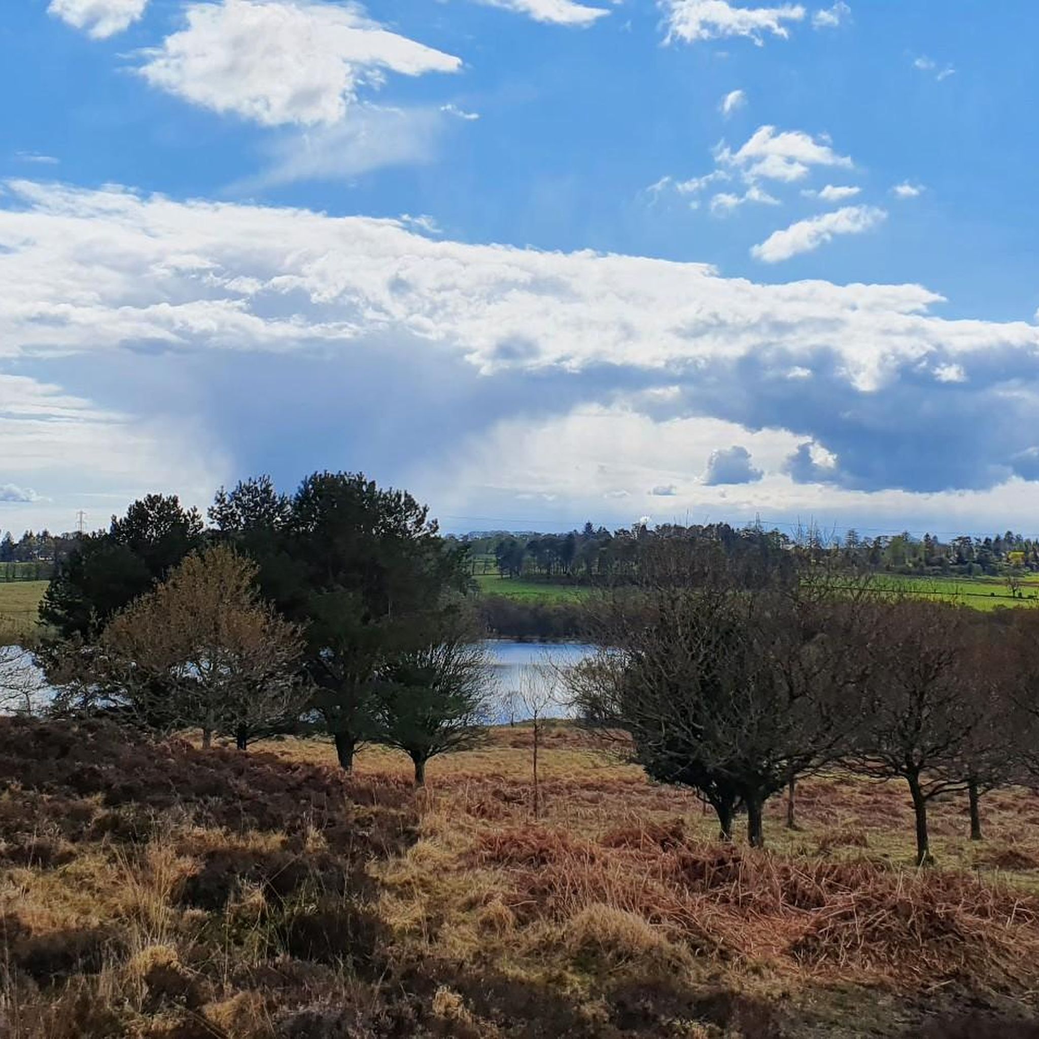
Touring cycling routes around Baldernock traverse a varied topography, from the rugged uplands of the Campsie Fells to rolling, pastoral farmlands. The landscape features gentle swells and dips, contrasting with the more dramatic rise of the Campsie Fells. The area is also bordered by the Allander Water and River Kelvin, adding riparian scenery to the routes. This blend of terrain provides a range of gradients and scenic backdrops for touring cyclists.
Best touring cycling routes around Baldernock
- The most popular…
Last updated: July 5, 2026
5.0
(4)
140
riders
55.4km
03:43
730m
730m
Hard bike ride. Very good fitness required. Mostly paved surfaces. Suitable for all skill levels.
1.0
(1)
47
riders
35.4km
02:14
360m
360m
Moderate bike ride. Good fitness required. Mostly paved surfaces. Suitable for all skill levels.

Sign up for free
4.7
(7)
77
riders
Moderate bike ride. Good fitness required. Mostly paved surfaces. Suitable for all skill levels.
81
riders
29.0km
02:28
340m
340m
Hard bike ride. Good fitness required. You may need to push your bike for some segments of this route.
63
riders
19.0km
01:37
240m
240m
Moderate bike ride. Good fitness required. Mostly paved surfaces. Suitable for all skill levels.
Get access to more routes and recommendations from other explorers.
Sign up for free
Already have an account?
Our route recommendations are based on thousands of hikes, rides, and runs completed by other people on komoot.
Start today with a free account
Your next adventure awaits.
Login or Signup
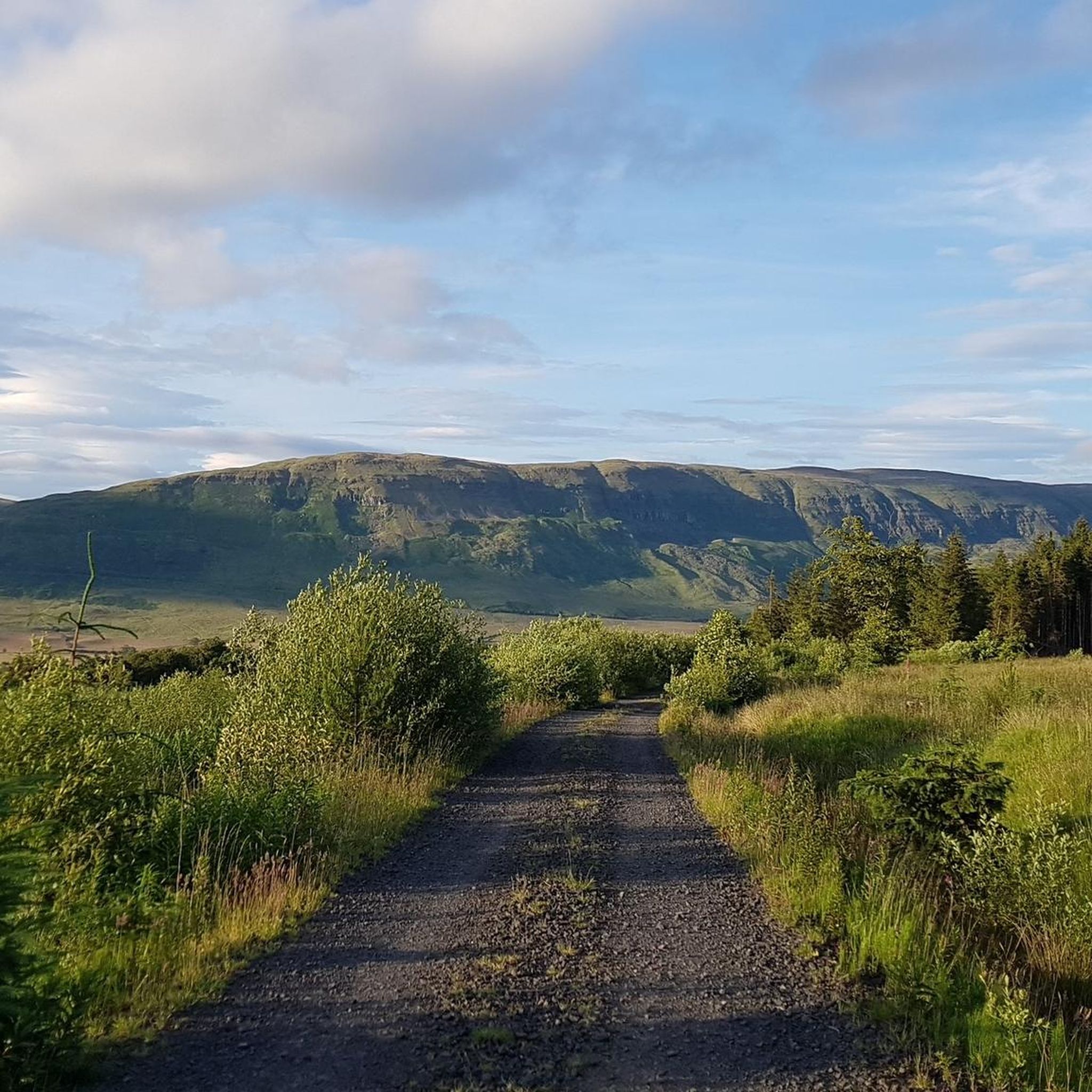
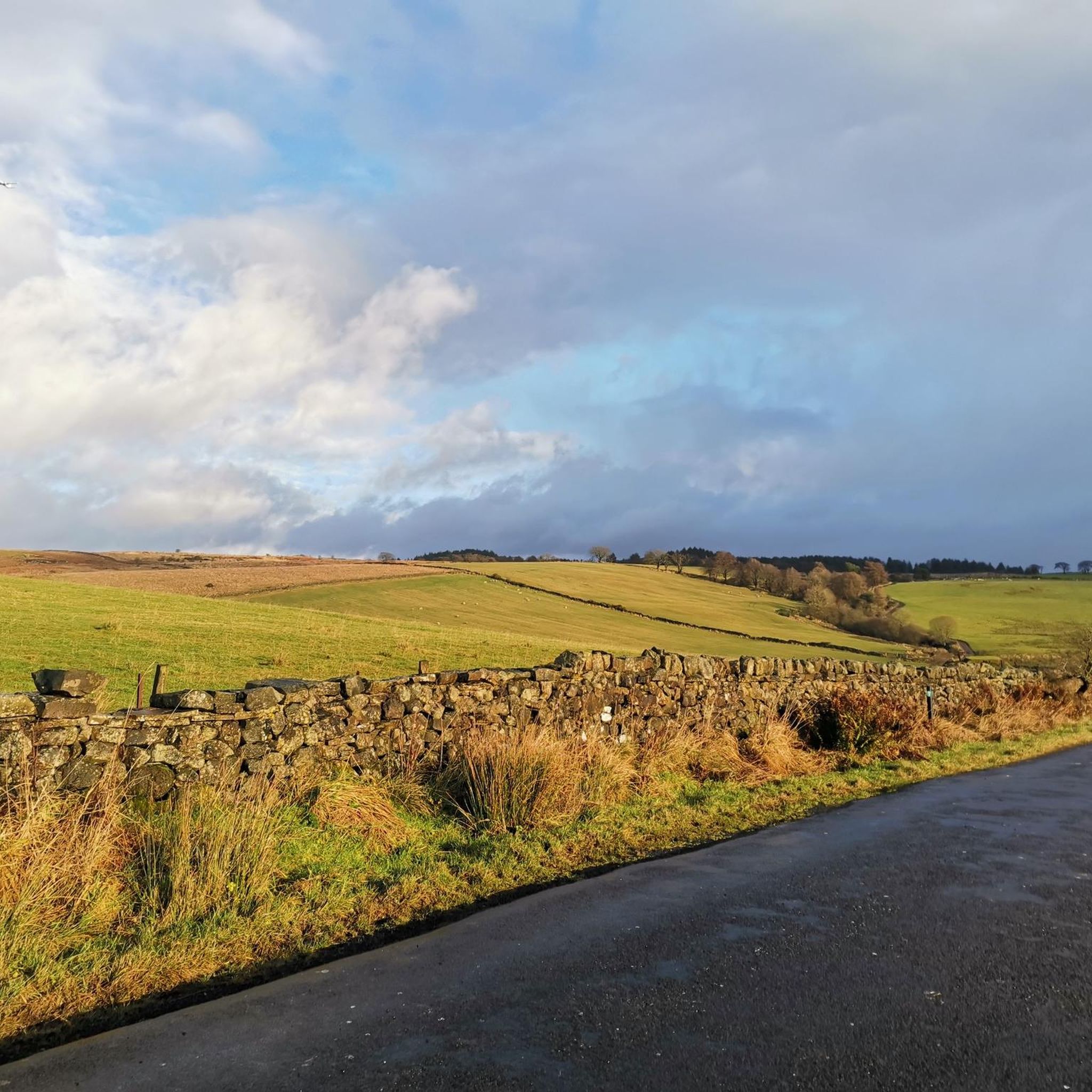
Tips from the Community

Above all, the path through Mugdock-Forest is worth it.
0
0


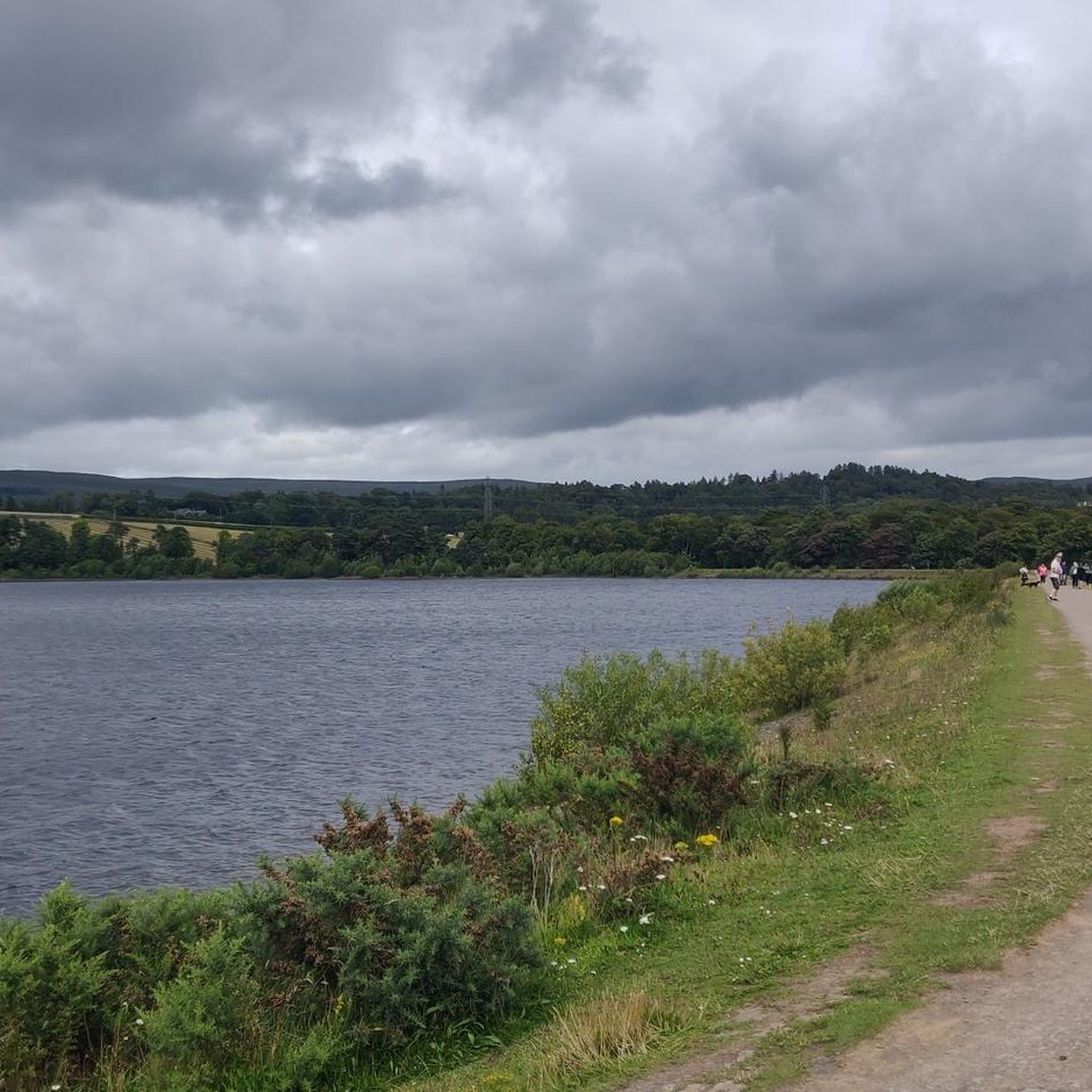
The final point of the Katrine Aqueducts as the water travels from The Trossachs to Milngavie to serve drinking water to the people of Glasgow. Built in the late 1800's, these reservoirs are a beautiful spot for a walk or cycle with good tracks following the perimeter.
1
0

Climbing the Crow Road north from Lennoxtown (B822) offers a classic Campsie Fells experience with rewarding views towards Glasgow. Settle in for a sustained ascent averaging around 4-5% over approximately 5-6km. The main physical challenge comes in the middle 'wall' section, where the gradient bites hard, reaching up to around 12-14% and demanding significant, steady effort. Experience the stunning panoramic views unfolding behind you as you gain height. As you emerge onto the open moorland near the summit, be prepared for significant exposure to wind, which often defines the final push to the top of this popular Scottish climb.
0
0
The original Castle on this site was built in the 13th century by the Graham family. The Grahams were a family on the rise and the family were made the Earls of Montrose in 1505. The most famous Graham resident of Mugdock Castle was James Graham (1612-1650) known as The Great Montrose. He was a poet and soldier who fought for the cause of King Charles I during the Wars of The Three Kingdoms (more commonly referred to as The English Civil Wars) and was marked as one of the greatest soldiers of the time. So great was his military fame that King Louis XIV offered him the role as Marshal of France. His success ultimately ran out in 1650 with the loss of The Battle of Carbisdale in Rosshire. Montrose was betrayed by a fellow Scotsman and was ultimately Hung, Drawn and Quartered for his part in the war. His campaigns were immortalised by Sir Walter Scott in his 1819 novel A Legend of Montrose.
0
0

Once you get out of Kirkie, the path is quiet. It's a lovely cycle with lots to see.
0
0

if you have thinner bike wheels just look out for nature's speed bumps
0
0
Frequently Asked Questions
How many touring cycling routes are available in Baldernock?
Baldernock offers a wide selection of touring cycling routes, with over 400 options available. These routes cater to various preferences, including over 190 easy routes, 130 moderate routes, and 80 more difficult trails for experienced cyclists.
What kind of terrain can I expect when touring cycling in Baldernock?
Touring cycling in Baldernock features a diverse topography. You'll encounter everything from the rugged uplands of the Campsie Fells, offering challenging climbs and panoramic views, to rolling, pastoral farmlands with gentler gradients. The landscape is characterized by its 'gentle swells and dips and lush green of the drumlin foothill landscape,' often contrasting with the dramatic rise of the Fells. Additionally, routes frequently follow riparian scenery along the Allander Water and River Kelvin.
Are there family-friendly touring cycling routes in Baldernock?
Yes, Baldernock offers several family-friendly touring cycling routes. Many of the over 190 easy routes are suitable for families. A great option is the Strathkelvin Railway Path – Strathkelvin Railway Path loop from Strathblane, which follows a former railway line, providing a relatively flat and accessible ride through scenic countryside.
What natural features or landmarks can I see along the touring cycling routes?
Baldernock's routes offer views of diverse natural features. You can enjoy the tranquil Bardowie Loch, explore the fascinating Craigallian Loch, or discover the Linn Caves and Lime Kilns with their delightful waterfalls of Branziet Burn. Many routes also provide panoramic views of the Campsie Fells and even distant vistas of Glasgow.
Are there any historical sites to explore while cycling in Baldernock?
Yes, Baldernock is rich in history. Beyond the Linn Caves and Lime Kilns, you might pass by Bardowie Castle near Bardowie Loch. The Baldernock Trail, starting at Baldernock Parish Church, also winds through various historical points, offering insights into the area's past.
Can I find scenic viewpoints on the touring cycling routes?
Absolutely. The region is known for its scenic beauty. Routes often provide panoramic views of the Campsie Fells, and some even offer distant vistas of Glasgow. Specific viewpoints like Meikle Bin Summit and Earl's Seat Summit are accessible from some routes, offering breathtaking perspectives of the landscape.
Are there challenging touring cycling routes for experienced riders?
Yes, for experienced riders seeking a challenge, Baldernock has over 80 difficult routes. The Mugdock Castle – Crow Road Summit loop from Milngavie is a popular choice, featuring challenging climbs and rewarding panoramic views from Crow Road Summit. Another demanding option is the Switchbacks Near Rob Roy Way – View of Aberfoyle Countryside loop from Hillfoot, which covers a significant distance and elevation.
Are there circular touring cycling routes available?
Many of the touring cycling routes in Baldernock are designed as loops, allowing you to start and finish at the same point. Examples include the Mugdock Castle – Crow Road Summit loop from Milngavie and the Strathkelvin Railway Path – Strathkelvin Railway Path loop from Strathblane, providing convenient options for exploring the area.
What are the public transport options for accessing cycling routes in Baldernock?
Baldernock's rural yet accessible location, less than six miles from Glasgow's city centre, means there are public transport links to nearby towns like Milngavie and Strathblane, which serve as starting points for many routes. From these towns, you can often cycle directly onto the trails. It's advisable to check local bus or train schedules for the most current information on reaching specific starting points.
Where can I find parking for touring cycling routes in Baldernock?
Given Baldernock's proximity to Glasgow and its popularity for outdoor activities, parking is generally available in or near the villages that serve as common starting points for routes, such as Milngavie or Strathblane. Look for designated car parks in these areas, especially near trailheads or local amenities.
What do other touring cyclists enjoy most about cycling in Baldernock?
The touring cycling routes in Baldernock are highly rated by the komoot community, with an average score of 4.3 stars from over 740 reviews. Cyclists frequently praise the varied terrain, from challenging climbs with rewarding views of the Campsie Fells to peaceful rides through verdant farmlands and along waterways. The blend of natural beauty and historical sites also contributes to a highly enjoyable experience.
Can I find routes that follow waterways or canals?
Yes, Baldernock's landscape is bordered by the Allander Water and River Kelvin, and the Forth and Clyde Canal is a notable feature. The View of Auchinstarry Marina – Forth and Clyde Canal loop from Milngavie is an excellent example, offering good straights and scenic views along the canal towpath, providing a relatively flat and picturesque route.
Most popular attractions around Baldernock

Get inspired with the komoot mobile app


Explore more
Browse the best Cycling routes in other regions.
