The best road cycling routes around Baldernock
4.4
(481)
13,510
riders
335
rides
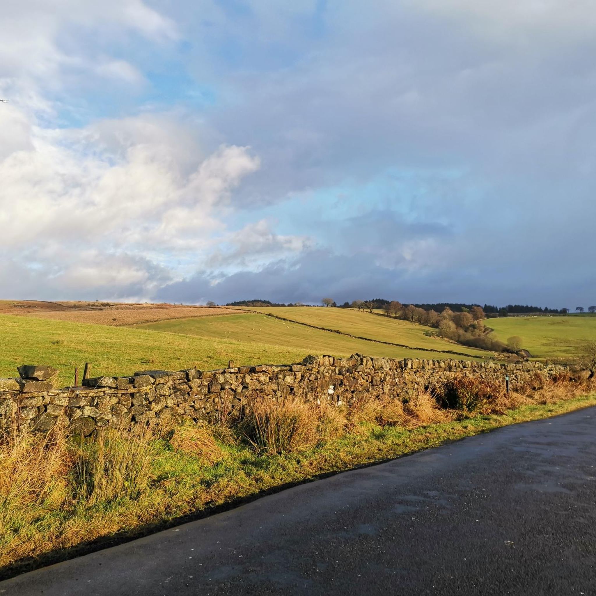
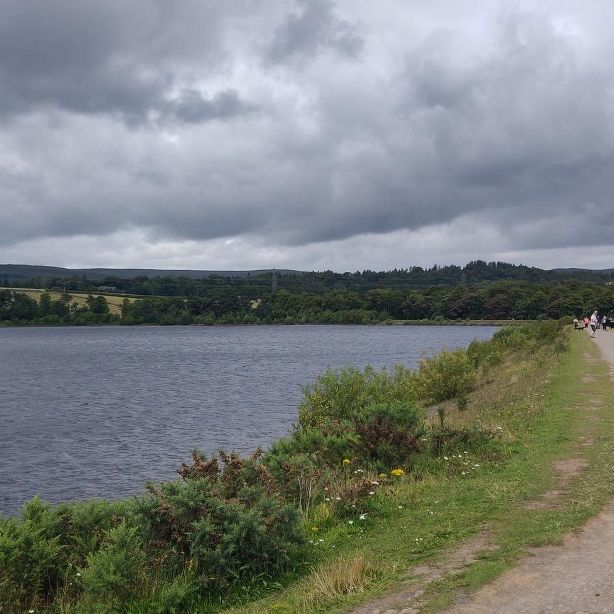
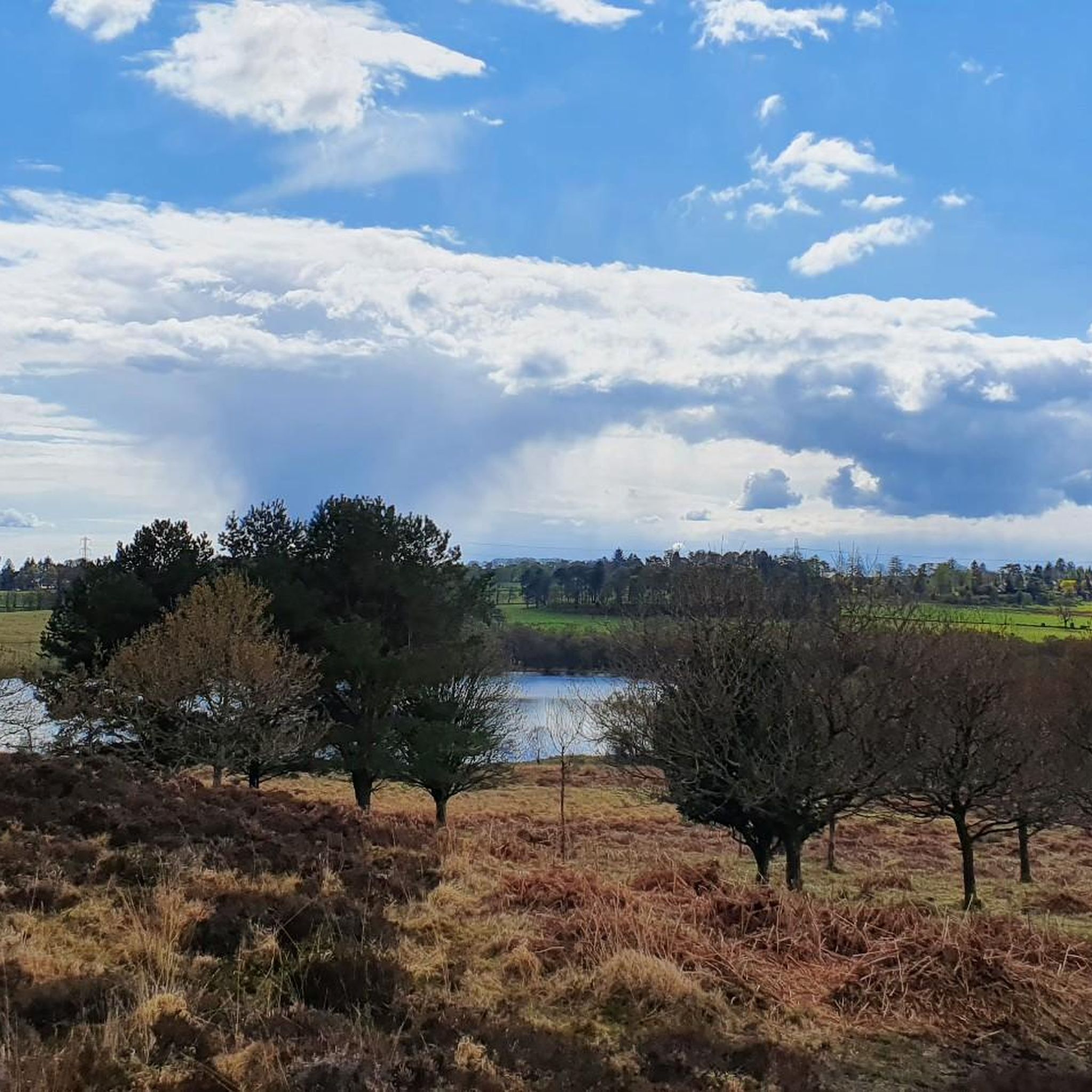
Road cycling around Baldernock offers varied terrain and scenic routes in East Dunbartonshire, Scotland. The region is characterized by undulating foothills and rolling pastoral farmland, bordered by the rugged uplands of the Campsie Fells to the north and east. Cyclists encounter diverse elevation changes, with routes providing views of Glasgow, the Carron Valley Reservoir, and the Fells. The landscape includes picturesque lochs and river valleys, making it suitable for different road cycling preferences.
Best road cycling routes around Baldernock
- The…
Last updated: June 27, 2026
5.0
(9)
497
riders
81.0km
03:59
1,060m
1,060m
Hard road ride. Very good fitness required. Mostly well-paved surfaces and easy to ride.
203
riders
107km
04:54
1,240m
1,240m
Hard road ride. Very good fitness required. Mostly well-paved surfaces and easy to ride.

Sign up for free
5.0
(1)
91
riders
Moderate road ride. Good fitness required. Some segments of this route may be unpaved and difficult to ride.
5.0
(1)
64
riders
84.7km
03:58
770m
770m
Moderate road ride. Good fitness required. Mostly well-paved surfaces and easy to ride.
3.7
(3)
112
riders
34.2km
01:33
340m
340m
Moderate road ride. Good fitness required. Mostly well-paved surfaces and easy to ride.
Get access to more routes and recommendations from other explorers.
Sign up for free
Already have an account?
Our route recommendations are based on thousands of hikes, rides, and runs completed by other people on komoot.
Start today with a free account
Your next adventure awaits.
Login or Signup
Tips from the Community

It’s actually called Turnip the Beet! Nice stuff here. Can be tourist busy
0
0

One of the most interesting bridges I've ever seen—in my opinion, an architectural masterpiece, magnificent..👍👍
1
0

Nice coffee and sandwiches with vegan friendly options and outdoor seating
0
0

Super cafe stop, all day breakfasts, snacks and coffee & cakes!
0
0

Hilly but very scenic route with some car free sections and of course coffee/lunch stops.
0
0

The Crow Road from Gonachan Cottage offers a gentler approach to this iconic Scottish climb, averaging 4–5% over around 5 km with occasional ramps up to 8%. The road surface is smooth and wide, rising steadily through open moorland with far-reaching views as you gain height. The gradient allows you to find a rhythm early and hold it, making it ideal for steady tempo riding. Wind can still be a factor, especially near the summit, so keep your effort measured. It’s a scenic, satisfying climb that rewards pacing and persistence.
1
0
Climbing the Crow Road north from Lennoxtown (B822) offers a classic Campsie Fells experience with rewarding views towards Glasgow. Settle in for a sustained ascent averaging around 4-5% over approximately 5-6km. The main physical challenge comes in the middle 'wall' section, where the gradient bites hard, reaching up to around 12-14% and demanding significant, steady effort. Experience the stunning panoramic views unfolding behind you as you gain height. As you emerge onto the open moorland near the summit, be prepared for significant exposure to wind, which often defines the final push to the top of this popular Scottish climb.
0
0
Frequently Asked Questions
What kind of terrain can I expect when road cycling around Baldernock?
Baldernock offers a varied landscape for road cyclists, characterized by undulating foothills and rolling pastoral farmland. To the north and east, you'll find the rugged uplands of the Campsie Fells. Routes feature diverse elevation changes, from steady climbs to descents, with predominantly well-paved surfaces.
Are there road cycling routes suitable for beginners or those looking for an easier ride?
Yes, while Baldernock has challenging routes, there are also moderate options available. For example, the View of the Campsie Fells – View of Glasgow loop from Hillfoot is a 32.5 km (20.2 miles) route with a moderate difficulty, offering scenic views without excessive elevation gain.
What are some of the most scenic viewpoints or natural features I can see while cycling in Baldernock?
Road cycling routes in Baldernock often provide expansive views of Glasgow, the Carron Valley Reservoir, and the Campsie Fells. You can also encounter picturesque lochs like Bardowie Loch and Craigallian Loch, which holds historical significance. The area is bordered by the Allander Water, River Kelvin, and Pow Burn, adding to the natural beauty.
Are there any historical or natural landmarks along the road cycling routes?
Yes, the region is rich in points of interest. You might pass by the historic Baldernock Parish Church, or explore sites like the Linn Caves & Lime Kilns, which feature delightful waterfalls of Branziet Burn. The area also includes Craigallian Loch, known for the 'Craigallian Fire' legend, and natural features like The Jaw & Flora Wood and Auld Wives' Lifts. For a historical site, consider visiting Mugdock Castle.
How many road cycling routes are available in the Baldernock area?
There are over 340 road cycling routes around Baldernock, offering a wide range of options for different skill levels and preferences. This includes 179 easy routes, 138 moderate routes, and 28 difficult routes.
What do other cyclists say about road cycling in Baldernock?
The road cycling routes in Baldernock are highly rated by the komoot community, with an average score of 4.4 stars from over 300 reviews. Cyclists often praise the varied terrain, the scenic views of Glasgow and the Campsie Fells, and the well-maintained roads that cater to different abilities.
Can I find challenging road cycling routes with significant elevation gain in Baldernock?
Absolutely. For those seeking a challenge, routes like the View of Glasgow from Crow Road – Carron Valley Reservoir loop from Hillfoot cover 80.9 km (50.2 miles) with over 1000 meters of elevation gain. Another demanding option is the Dukes Pass Scenic Drive – View of Glasgow from Crow Road loop from Milngavie, which is 107.3 km (66.7 miles) long with over 1200 meters of ascent.
Are there any circular road cycling routes in Baldernock?
Many of the road cycling routes in Baldernock are designed as loops, allowing you to start and finish in the same location. Examples include the View of the Campsie Fells – View of Glasgow loop from Hillfoot and the View of the Campsie Fells – View of Stirling Castle loop from Hillfoot, providing convenient circular journeys.
What is the best time of year for road cycling in Baldernock?
The best time for road cycling in Baldernock is generally during the spring, summer, and early autumn months (April to October) when the weather is milder and daylight hours are longer. While cycling is possible year-round, winter conditions can bring colder temperatures, shorter days, and potentially icy roads, especially on higher elevations.
Are there any specific permits required for road cycling in Baldernock?
Generally, no specific permits are required for road cycling on public roads and designated cycle paths in Baldernock. However, always respect local signage and private land regulations. For more detailed information on local regulations, you might consult the East Dunbartonshire Council's resources, such as their conservation area appraisal.
Are there options for family-friendly road cycling routes in Baldernock?
While many routes involve elevation changes, some of the moderate and easier loops can be suitable for families with older children or those comfortable with road cycling. The area around Carron Valley Reservoir, for instance, offers a flat, tarmacked road perfect for scenic cycling. Always check the route's distance and elevation profile to ensure it matches your family's ability.
Where can I find parking for road cycling routes in Baldernock?
Specific parking information for individual routes can often be found in the route descriptions on komoot. Generally, you can look for parking in nearby towns or villages like Hillfoot or Milngavie, which serve as common starting points for many routes, including those heading towards Crow Road or Dukes Pass.
Are there cafes, pubs, or accommodation options near the cycling routes in Baldernock?
Baldernock itself is a small parish, but you can find amenities in surrounding areas. Towns like Milngavie, which is a common starting point for routes, offer cafes, pubs, and accommodation. It's advisable to plan your stops in advance, especially on longer routes, as services might be sparse directly within the Baldernock rural area.
Most popular attractions around Baldernock

Get inspired with the komoot mobile app


Explore more
Browse the best Road cycling routes in other regions.
