The best MTB trails in Staatsforst Burgjoß
4.7
(2067)
5,542
riders
330
rides
Mountain bike trails in Staatsforst Burgjoß traverse the diverse landscapes of the Spessart low mountain range, characterized by deep valleys, undulating hills, and dense forested areas. This region, part of Germany's largest contiguous deciduous forest, provides varied terrain for mountain biking. Riders encounter both challenging climbs and flowing descents through oak and beech forests, with varied elevation catering to different skill levels. The extensive network of routes offers an immersive riding experience within the Spessart Nature Park.
Best mountain bike…
Last updated: July 1, 2026
4.6
(38)
55
riders
39.0km
02:55
590m
590m
Moderate mountain bike ride. Good fitness required. Advanced riding skills necessary.
4.6
(36)
56
riders
46.6km
03:12
500m
500m
Moderate mountain bike ride. Good fitness required. Suitable for all skill levels.

Sign up for free
4.8
(12)
42
riders
26.5km
02:07
400m
400m
Moderate mountain bike ride. Good fitness required. Suitable for all skill levels.
4.9
(10)
40
riders
29.6km
02:28
540m
540m
Moderate mountain bike ride. Good fitness required. Advanced riding skills necessary.
4.5
(11)
34
riders
42.5km
03:18
690m
690m
Moderate mountain bike ride. Good fitness required. Advanced riding skills necessary.
Get access to more routes and recommendations from other explorers.
Sign up for free
Already have an account?
Our route recommendations are based on thousands of hikes, rides, and runs completed by other people on komoot.
Start today with a free account
Your next adventure awaits.
Login or Signup

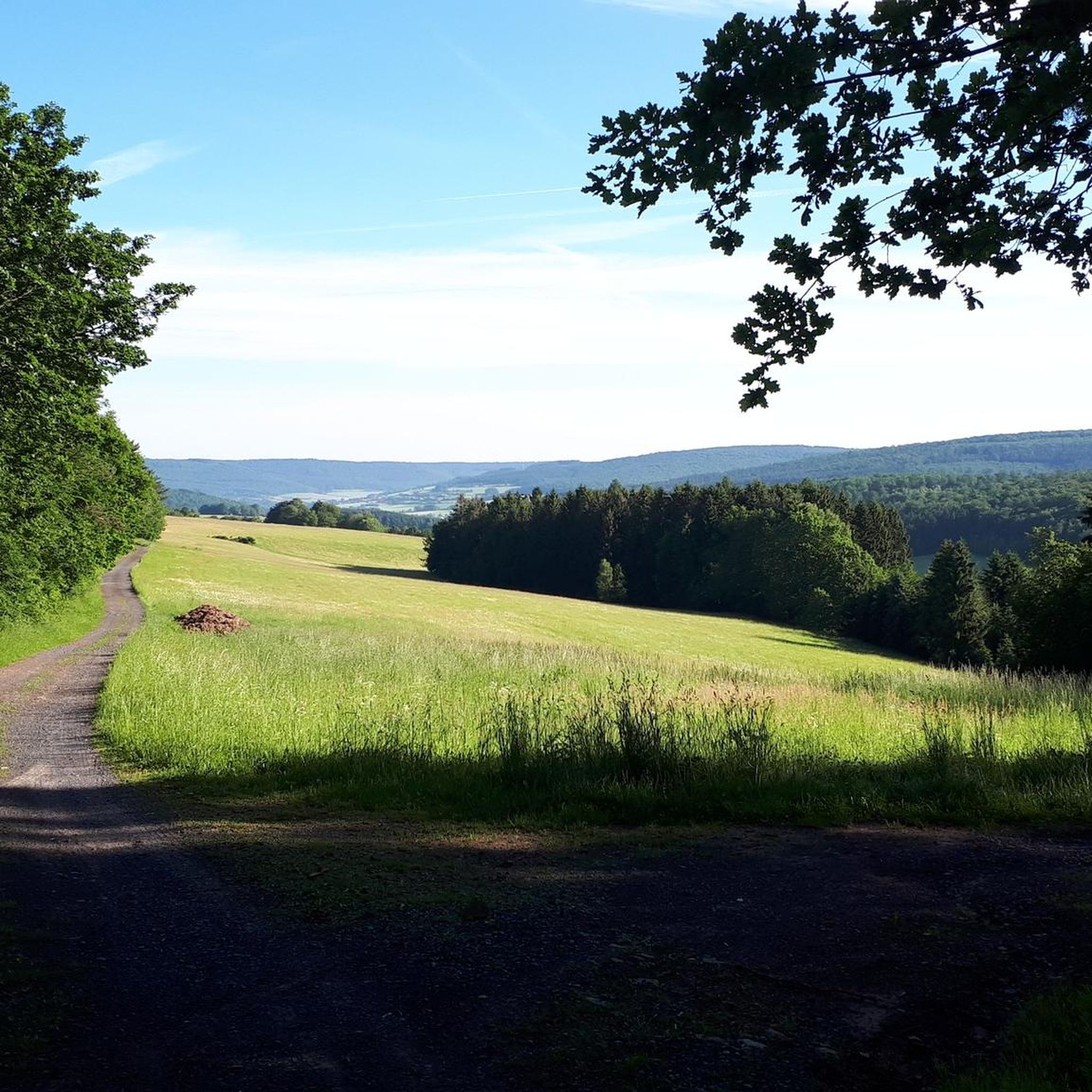
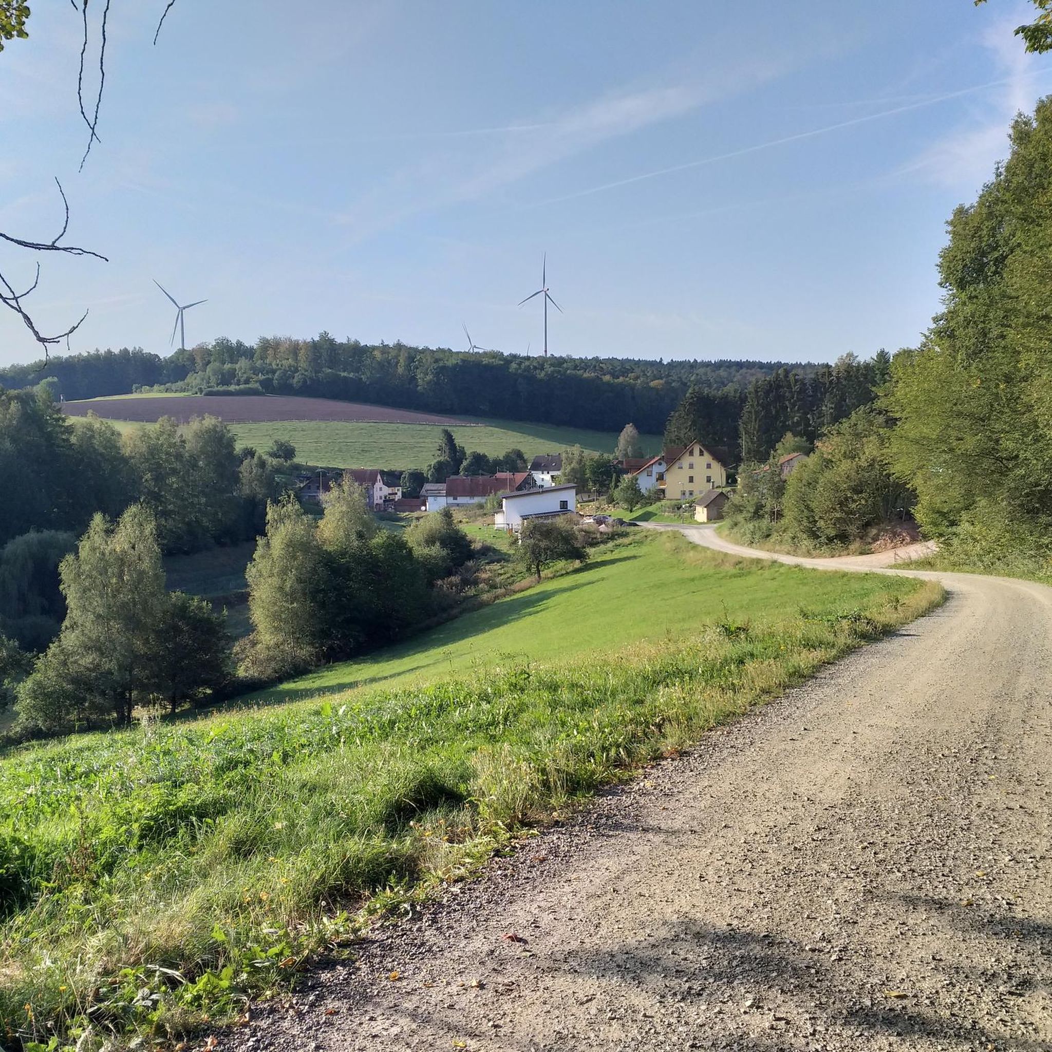
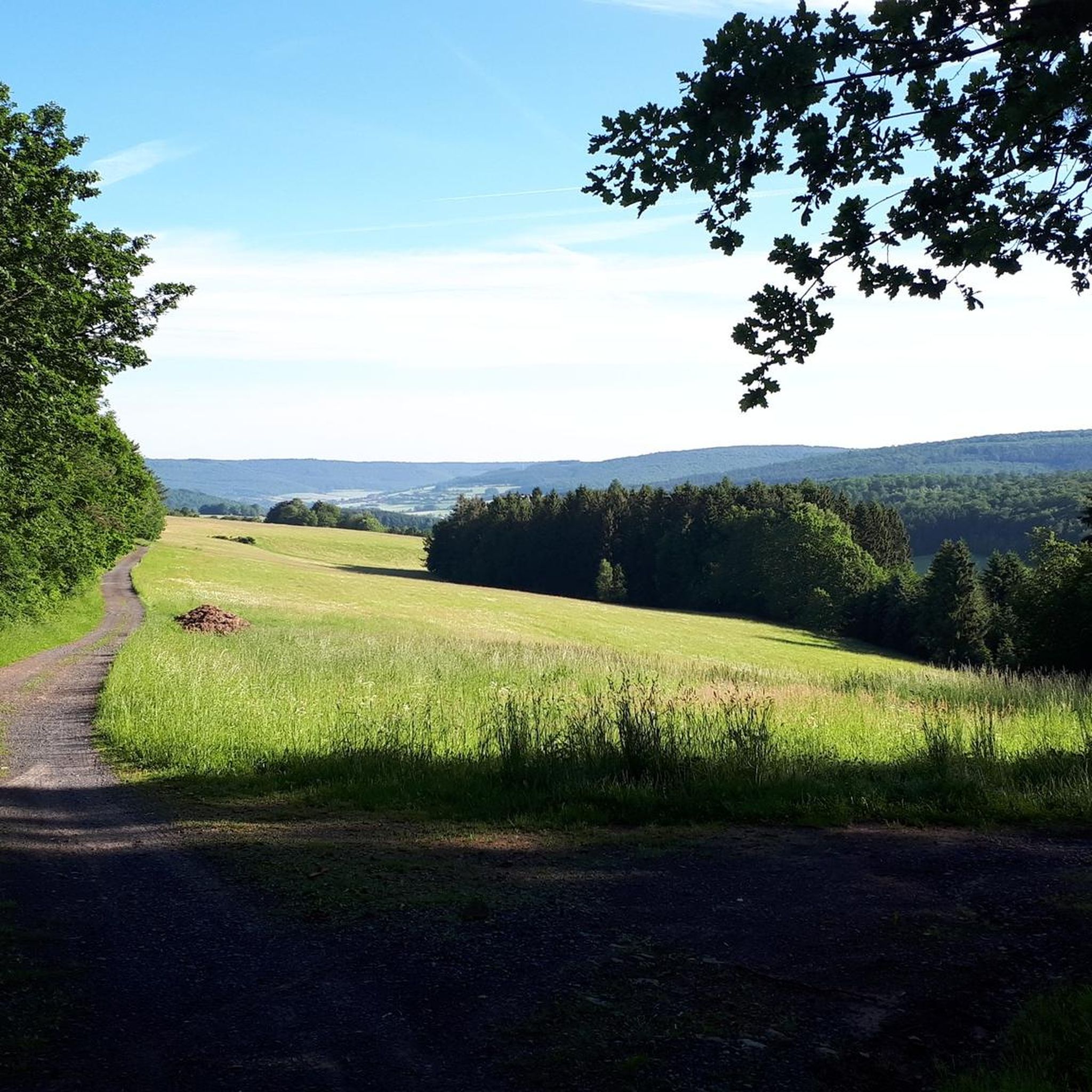
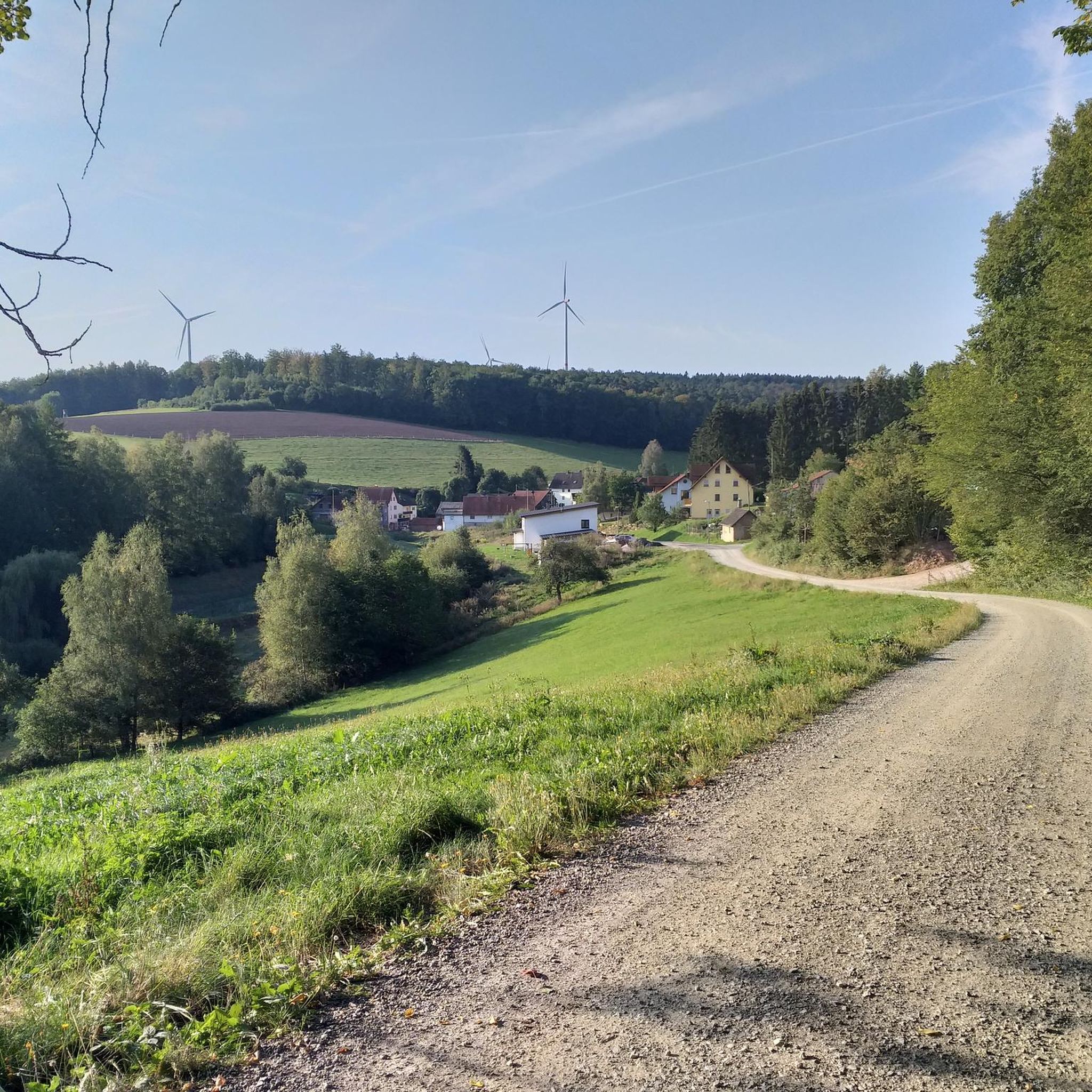
Other adventures in Staatsforst Burgjoß

Tips from the Community

Unfortunately currently closed. Therefore I had to replan my tour from here and go through the town via the busy main road back to my actual route.
0
0

One of the most beautiful trails towards Frammersbach (and for me also around Birkenhainer). It gets a bit technical in places, but most of the time you can just let it roll.
0
0

beautiful, well-maintained pub complex with several pools
0
0

The Eselsweg is a must-do for every mountain biker. It's simply fantastic to ride there! 🚵♀️🌳☀️ #MTBRoute #BikeTour #NatureExperience
0
0

A remnant of one of the many raised bogs in the region. We had to take the climb at a bit more pace, as the mosquitoes were quite clingy in June.
0
0

It's a lot of fun, even for beginners. But... the climb to the trail is quite steep.
0
0
The Haseltrail is truly beautifully situated! 😍 Perfect for beginners and pros alike 🚵♀️ and a ton of fun! 🤩 #Haseltrail #Nature #Fun #Sport #Hiking #Cycling
0
0
Frequently Asked Questions
How many mountain bike trails are available in Staatsforst Burgjoß?
Staatsforst Burgjoß offers an extensive network of mountain bike trails, with over 340 routes available on komoot. These trails are part of the wider "Spessart Biken" network, which boasts over 650 kilometers of routes across the region, catering to various skill levels.
What are the difficulty levels of mountain bike trails in Staatsforst Burgjoß?
The trails in Staatsforst Burgjoß cater to all skill levels. You'll find 58 easy routes perfect for a relaxed ride, 276 moderate trails offering a good challenge, and 13 difficult routes for experienced riders seeking demanding sections and significant elevation gain. Some difficult segments may even require pushing your bike.
Are there any family-friendly mountain bike trails in Staatsforst Burgjoß?
Yes, Staatsforst Burgjoß offers numerous family-friendly options, particularly among its 58 easy and 276 moderate routes. These trails often follow forest paths and less technical terrain, allowing families to enjoy the scenic beauty of the Spessart low mountain range together. Look for routes with lower elevation gain and shorter distances for a comfortable family outing.
Can I bring my dog on the mountain bike trails?
Generally, dogs are welcome on the mountain bike trails in Staatsforst Burgjoß, especially on wider forest paths. However, it's always advisable to keep your dog on a leash, particularly in nature reserves like Hoher Berg and Beilstein, or when passing through populated areas and near wildlife. Always be mindful of other trail users and local regulations.
Are there circular mountain bike routes in Staatsforst Burgjoß?
Yes, many of the mountain bike trails in Staatsforst Burgjoß are designed as circular routes, allowing you to start and end at the same point. An example is the moderate Beilstein Trail loop from Burgjoß, which covers 25.8 km. These loops are convenient for planning your ride without needing a return trip arrangement.
What kind of terrain can I expect on the mountain bike trails?
The terrain in Staatsforst Burgjoß is diverse, reflecting the Spessart low mountain range. You can expect a mix of deep valleys, undulating hills, and extensive forested areas. Trails often combine singletracks, forest paths, and forestry roads. Some routes, like the "Bleisteinschleife - SpessartBiken Route 5," feature varied surfaces and pass through natural features such as the Spirkelbachtal and sections of an old narrow-gauge railway line.
What landmarks or natural features can I see along the trails?
The trails in Staatsforst Burgjoß pass by several interesting landmarks and natural features. You might encounter historical sites like the Stone of the Saints or the Dreimärker Stone Markers, which are historical boundary stones. Nature reserves such as Hoher Berg and Beilstein are also part of the landscape. For panoramic views, consider routes that lead to viewpoints like the View from Schöneberg.
Where can I park my car for mountain biking in Staatsforst Burgjoß?
Staatsforst Burgjoß, being a popular outdoor destination, offers various parking options near trailheads. Specific parking areas are often indicated on local maps or within komoot tour descriptions. It's advisable to check the starting point of your chosen route for the most convenient parking facilities.
What is the best time of year for mountain biking in Staatsforst Burgjoß?
The best time for mountain biking in Staatsforst Burgjoß is typically from spring through autumn. During these seasons, the weather is generally mild, and the forest trails are in good condition. Autumn offers particularly beautiful scenery with vibrant foliage. While winter riding is possible, be prepared for potentially muddy or icy conditions, especially on shaded forest paths.
Are there any cafes or places to eat near the mountain bike trails?
Yes, the region has amenities to support visitors. While not directly on every trail, you can find cafes and inns in nearby towns and villages. For example, the Waldesruh Inn Emmerichsthal is one such option. Planning your route to pass through or near these settlements will allow for refreshment stops.
What do other mountain bikers enjoy most about Staatsforst Burgjoß?
The mountain bike trails in Staatsforst Burgjoß are highly rated by the komoot community, with an average score of 4.7 stars from over 2000 reviews. Riders frequently praise the diverse landscapes, the extensive network of well-maintained trails, and the natural beauty of the Spessart region, including its deep valleys and rich forests. The variety of routes, from scenic rides to challenging climbs, is also a common highlight.
How long are the mountain bike trails in Staatsforst Burgjoß?
The lengths of mountain bike trails in Staatsforst Burgjoß vary significantly. You can find shorter routes suitable for quick rides, as well as longer, more demanding tours. For instance, the moderate Schwarzer Berg (521 m) – Don Bosco Trail loop from Burgjoß is about 29.6 km, while the challenging Sinntal Viaduct near Obersinn – Kreuzberg Monastery loop from Burgjoß spans over 113 km.
Most popular routes in Staatsforst Burgjoß
Most popular attractions in Staatsforst Burgjoß

Get inspired with the komoot mobile app


Explore more
Browse the best MTB trails in other regions.
