The best walks and hikes in Bischbrunner Forst
4.6
(8974)
32,878
hikers
35
hikes
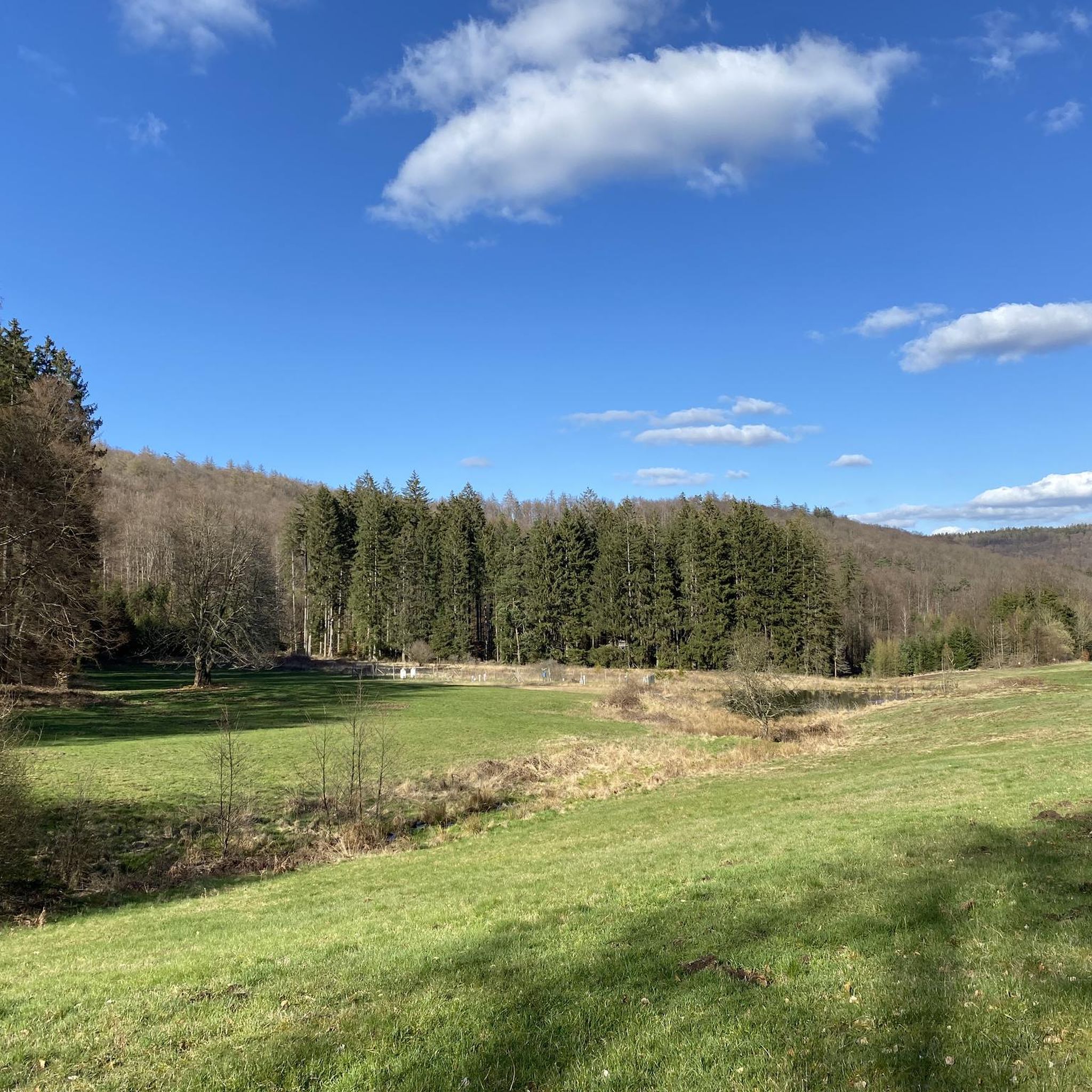
Hiking in Bischbrunner Forst offers diverse landscapes within the larger Spessart area. The region features varied terrain, including calming forests and stream valleys, with trails ranging from accessible paths to more challenging routes. Elevations vary, with the Geiersberg reaching 586 meters, providing a significant landmark. The area is characterized by its dense woodlands and natural features, making it suitable for different fitness levels.
Best hiking trails in Bischbrunner Forst
- The most popular hiking route is Weihersgrund Nature Reserve – Sylvan…
Last updated: July 1, 2026
4.6
(43)
175
hikers
12.5km
03:32
250m
250m
Moderate hike. Good fitness required. Easily-accessible paths. Suitable for all skill levels.
4.6
(42)
174
hikers
Moderate hike. Good fitness required. Easily-accessible paths. Suitable for all skill levels.

Sign up for free
4.7
(53)
139
hikers
8.67km
02:23
140m
140m
Moderate hike. Good fitness required. Easily-accessible paths. Suitable for all skill levels.
4.7
(32)
135
hikers
Moderate hike. Good fitness required. Easily-accessible paths. Suitable for all skill levels.
4.7
(39)
172
hikers
5.53km
01:36
140m
140m
Easy hike. Great for any fitness level. Easily-accessible paths. Suitable for all skill levels.
Get access to more routes and recommendations from other explorers.
Sign up for free
Already have an account?
Our route recommendations are based on thousands of hikes, rides, and runs completed by other people on komoot.
Start today with a free account
Your next adventure awaits.
Login or Signup
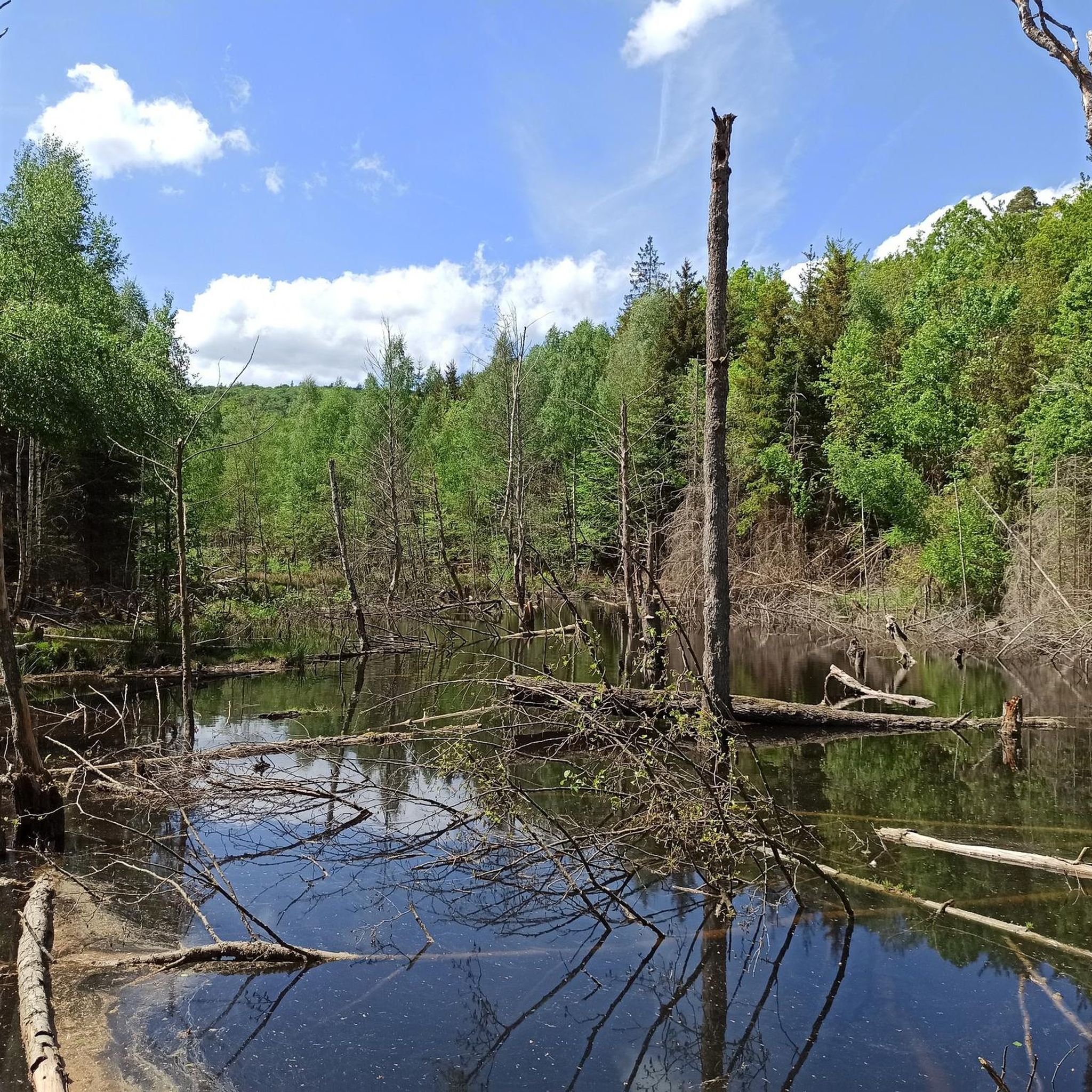
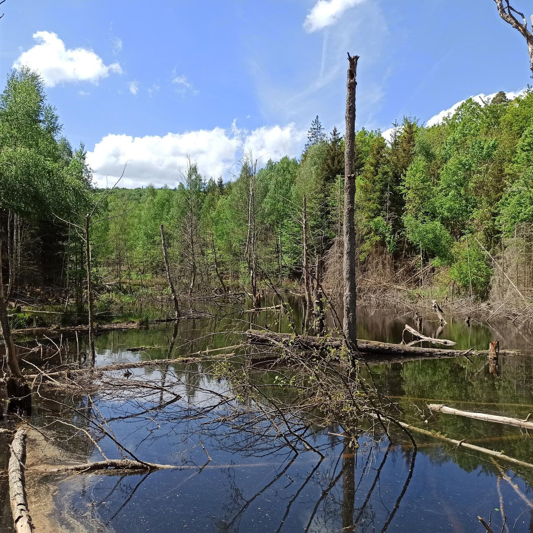
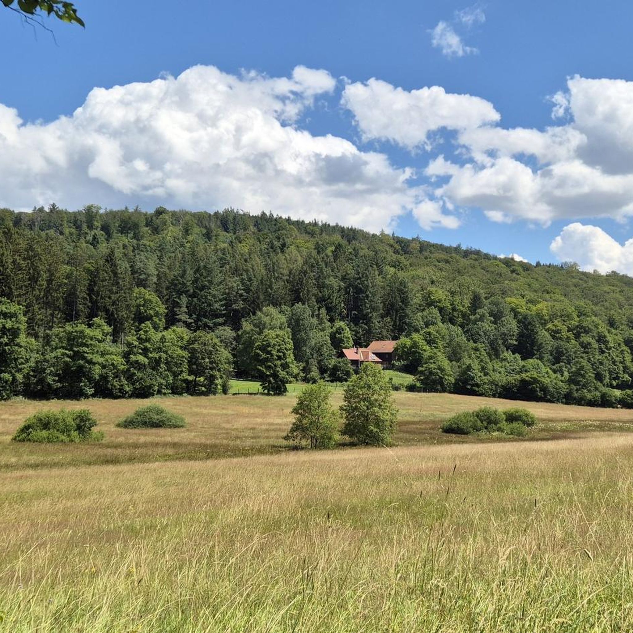
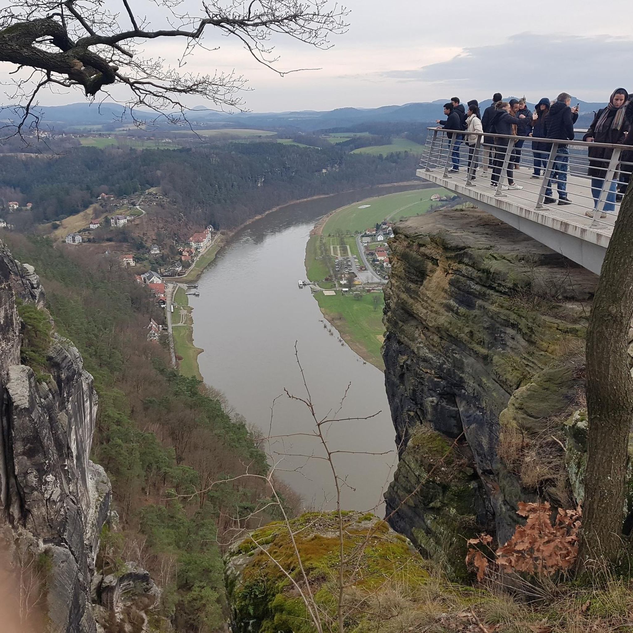
Tips from the Community

The Josefsteig is a rustic rooty hiking trail, highly recommended.😃👍
0
0

One of the most popular excursion destinations in the Spessart.
0
0
Practically ideal for slowing down.
0
0


A possible starting point for hiking to the Sylvan forester's lodge or simply for hiking in the Spessart forest. We parked our car there.
1
0
Beautiful scenery, no traffic, relaxation.
0
0
Frequently Asked Questions
How many hiking trails are available in Bischbrunner Forst?
Bischbrunner Forst offers a comprehensive network of over 35 hiking trails. These routes cater to various skill levels, including 15 easy, 17 moderate, and 3 difficult options, ensuring there's a suitable path for every hiker.
Are there any easy, family-friendly hiking trails in Bischbrunner Forst?
Yes, Bischbrunner Forst has 15 easy trails perfect for families. A great option is the Weihersgrund Nature Reserve – Josefsteig Trail loop from Bischbrunn, an easy 5.5 km route that takes about 1 hour 36 minutes to complete, leading through the scenic Weihersgrund Nature Reserve.
What are some notable natural features or landmarks to see while hiking in Bischbrunner Forst?
The region is rich in natural beauty. You can explore the Weihersgrund Nature Reserve, known for its diverse landscapes. The Geiersberg Summit, the highest point in the Spessart, offers a significant landmark, though its summit is more about the achievement than the view. You might also encounter the Lindigbrunnen Spring or the Steep Descent to Metzenbach Source.
Are there any challenging hikes for experienced trekkers in Bischbrunner Forst?
For experienced hikers seeking a challenge, Bischbrunner Forst offers 3 difficult routes. One such demanding trail is the Rocky Trail to Karlshöhe – Weihersgrund Nature Reserve loop from Rohrberg, which spans nearly 24 km with over 450 meters of elevation gain, requiring good fitness and sure-footedness.
What do other hikers enjoy most about the trails in Bischbrunner Forst?
The trails in Bischbrunner Forst are highly regarded by the komoot community, with an average rating of 4.6 stars from over 1,800 reviews. Hikers frequently praise the dense woodlands, varied terrain, and calming stream valleys that characterize the region, making for a diverse and enjoyable outdoor experience.
Are there any circular hiking routes in Bischbrunner Forst?
Yes, many trails in Bischbrunner Forst are designed as circular routes. For example, the Weihersgrund Nature Reserve – Sylvan Forester's Lodge loop from Weihersgrund is a popular moderate 12.7 km circular hike, offering a great way to experience the forest without retracing your steps.
Can I hike with my dog in Bischbrunner Forst?
Bischbrunner Forst is generally dog-friendly, with many trails suitable for walks with your canine companion. The extensive forest paths provide ample space for dogs to explore. However, always keep your dog on a leash, especially in nature reserves or near wildlife, and be mindful of local regulations.
What is the best time of year to go hiking in Bischbrunner Forst?
Bischbrunner Forst offers enjoyable hiking experiences throughout the year. Spring brings lush greenery, while autumn showcases vibrant foliage. Summer provides pleasant forest shade, and even winter can be beautiful for snowshoeing or cross-country skiing, though some paths might be more challenging. Always check local weather conditions before heading out.
Are there any viewpoints or scenic spots along the trails in Bischbrunner Forst?
While the Geiersberg Summit is the highest point, the region's beauty lies in its varied terrain, dense woodlands, and stream valleys. Many trails offer picturesque sections through the forest, such as the Sender Breitsol – Weihersgrund Nature Reserve loop from Naturwaldreservat Eichhall, which provides continuous natural scenery.
Are there places to eat or rest near the hiking trails in Bischbrunner Forst?
While specific cafes or restaurants directly on every trail are limited, the surrounding area offers options. The Hohewart-Haus (Hohe Warte) is a well-known rustic forest house popular with hikers, serving good food and local beer, making it a great starting or ending point for many tours.
What kind of terrain can I expect on the hiking trails in Bischbrunner Forst?
The terrain in Bischbrunner Forst is quite varied, ranging from easily accessible, relatively flat paths to more challenging routes with significant elevation gains. You can expect calming forests, beautiful stream valleys, and some trails that require good fitness and sure-footedness, characteristic of the Spessart landscape.
Are there any historical or cultural sites near Bischbrunner Forst that I can visit?
While Bischbrunner Forst itself is primarily natural, the surrounding Spessart region offers cultural and historical sites. Nearby attractions include the moated Mespelbrunn Castle and the charming Old Town of Lohr am Main, known for its fairy-tale atmosphere and the Spessart Museum.
Most popular routes in Bischbrunner Forst
Most popular attractions in Bischbrunner Forst

Get inspired with the komoot mobile app


Explore more
Browse the best Hikes in other regions.
